Gardrum Moss
Downs, Moorland in Stirlingshire
Scotland
Gardrum Moss

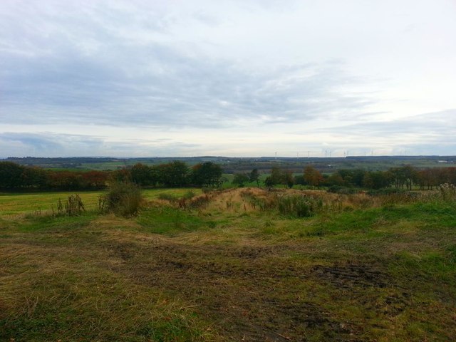
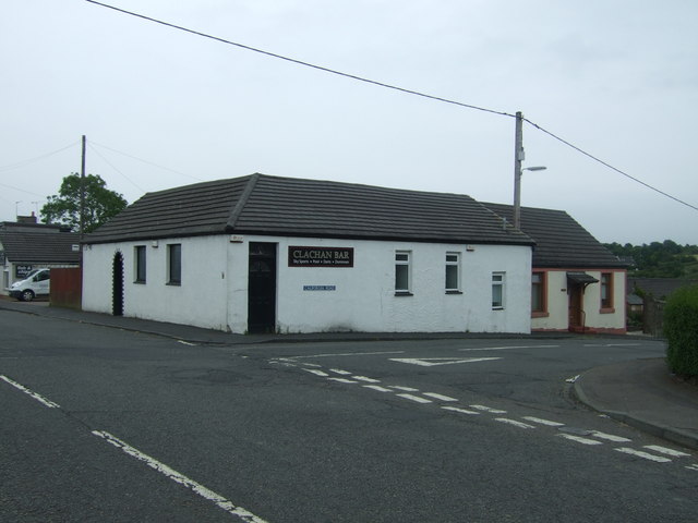
Gardrum Moss is a vast expanse of natural beauty located in Stirlingshire, Scotland. Situated in the heart of the country, this area is known for its stunning downs and moorland landscapes. Covering an area of approximately 5 square kilometers, Gardrum Moss is a haven for nature enthusiasts and outdoor adventurers alike.
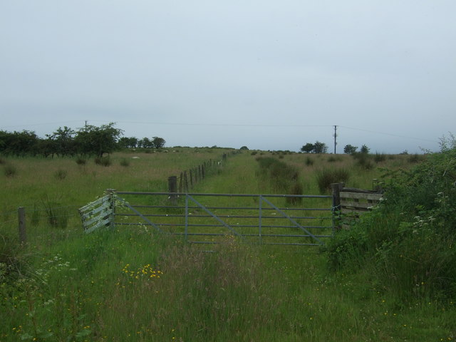
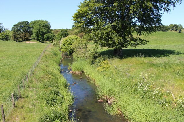
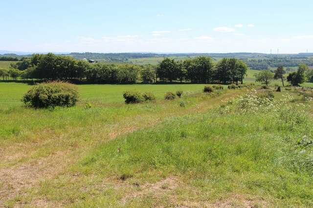
The moss is characterized by its rolling hills, open grasslands, and a variety of plant species. It is home to a diverse array of wildlife, including various bird species, rabbits, and small mammals. The downs of Gardrum Moss offer breathtaking panoramic views of the surrounding countryside, providing visitors with a sense of tranquility and serenity.
Nature lovers can explore the moss through a network of walking trails that wind their way through the area. These trails offer a chance to immerse oneself in the rich natural environment and observe the unique flora and fauna that call Gardrum Moss home. The moorland areas are particularly popular with bird watchers, as they provide excellent opportunities to spot a range of bird species, including curlews, lapwings, and skylarks.
Gardrum Moss is also of historical significance, with evidence of human activity dating back thousands of years. Archaeological sites, such as stone circles and burial mounds, can be found throughout the area, providing a glimpse into the region's ancient past.
Overall, Gardrum Moss in Stirlingshire is a captivating destination that showcases the beauty of Scotland's downs and moorlands. Its natural landscapes, abundant wildlife, and rich history make it a must-visit location for any nature enthusiast or history buff.
If you have any feedback on the listing, please let us know in the comments section below.
Gardrum Moss Images
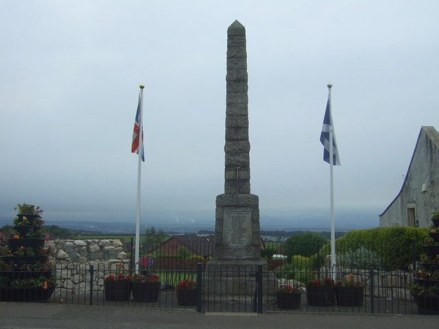
Images are sourced within 2km of 55.958635/-3.7786795 or Grid Reference NS8975. Thanks to Geograph Open Source API. All images are credited.


Gardrum Moss is located at Grid Ref: NS8975 (Lat: 55.958635, Lng: -3.7786795)
Unitary Authority: Falkirk
Police Authority: Forth Valley
What 3 Words
///tiny.rated.task. Near Shieldhill, Falkirk
Nearby Locations
Related Wikis

Shieldhill, Falkirk
Shieldhill is a village within the Falkirk council area in Central Scotland. The village is 2.0 miles (3.2 km) south-east of Falkirk, 2.4 miles (3.9 km...

California, Falkirk
California (Scottish Gaelic: Calafòrnia) is a former pit village in the Falkirk council area of Scotland. It lies between Shieldhill and Avonbridge on...

Falkirk (council area)
Falkirk (; Scots: Fawkirk [ˈfɔːkɪrk]; Scottish Gaelic: An Eaglais Bhreac) is one of 32 unitary authority council areas of Scotland. It was formed on 1...
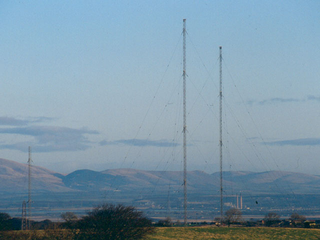
Westerglen transmitting station
The Westerglen transmitting station is a facility for longwave and mediumwave broadcasting established in 1932 at Westerglen Farm, 2 miles (3 km) south...
Have you been to Gardrum Moss?
Leave your review of Gardrum Moss below (or comments, questions and feedback).