Hay Meadows
Downs, Moorland in Glamorgan
Wales
Hay Meadows
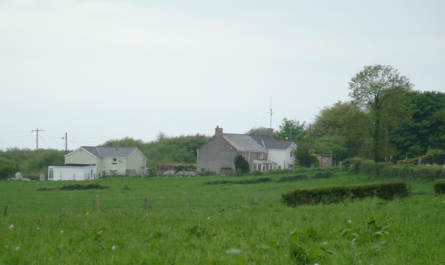
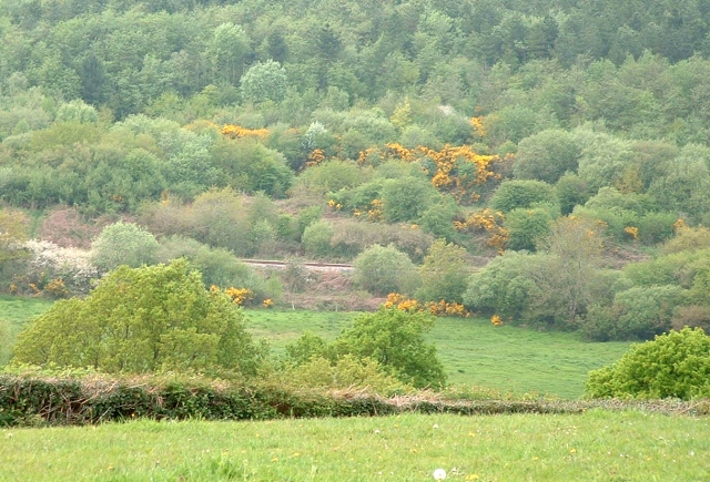
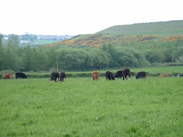
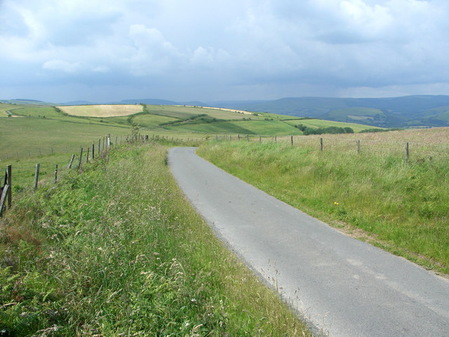
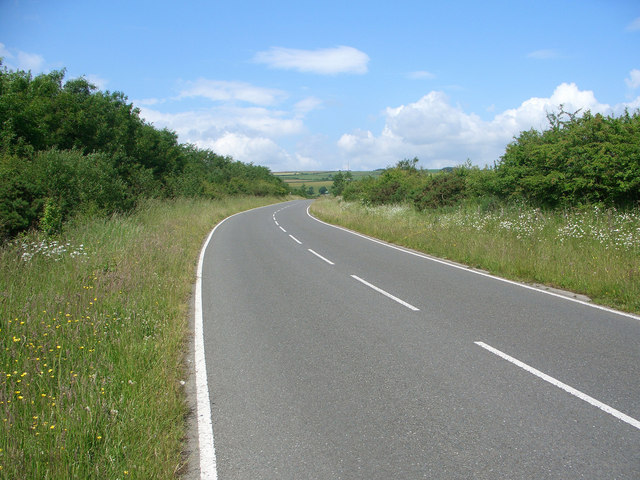
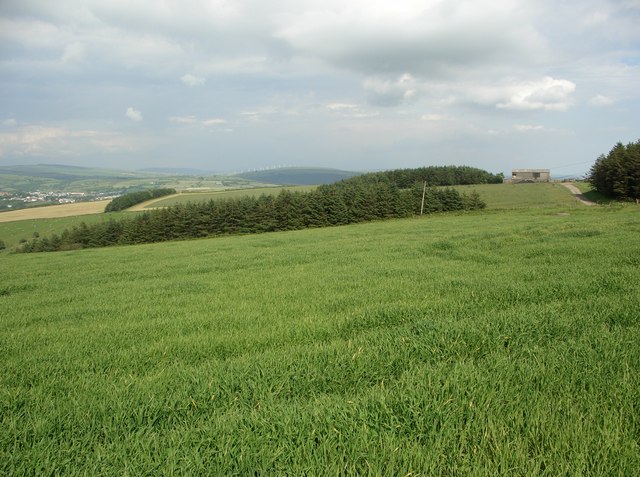
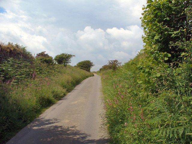
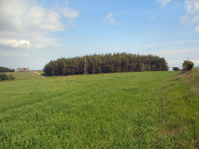
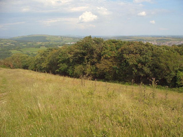
Hay Meadows is a scenic area located in Glamorgan, Wales. It is characterized by its rolling hills, vast stretches of moorland, and picturesque downs. The landscape is a blend of lush green meadows dotted with hay bales, wildflowers, and grazing livestock.
The area is renowned for its rich biodiversity and is home to a wide range of plant and animal species. Hay Meadows boasts an abundance of native grasses and wildflowers, including yellow rattle, oxeye daisies, and meadow buttercups. These vibrant blooms attract numerous insects, bees, and butterflies, creating a vibrant and colorful ecosystem.
The meadows also provide important habitat for various bird species. Skylarks, lapwings, and curlews can often be spotted soaring through the skies or nesting amidst the tall grasses. Additionally, the moorland areas are home to heather, gorse, and bilberry, adding to the diverse flora of the region.
Hay Meadows offers visitors an opportunity to immerse themselves in nature and enjoy the tranquility of the countryside. Walking and hiking trails crisscross the area, allowing visitors to explore the enchanting landscapes and take in breathtaking views. The meadows are also a popular spot for picnics, photography, and wildlife observation.
Overall, Hay Meadows in Glamorgan is a captivating destination that showcases the beauty and diversity of the Welsh countryside. Its rolling hills, moorland, and meadows create a picturesque and idyllic setting for nature enthusiasts and visitors seeking a peaceful retreat.
If you have any feedback on the listing, please let us know in the comments section below.
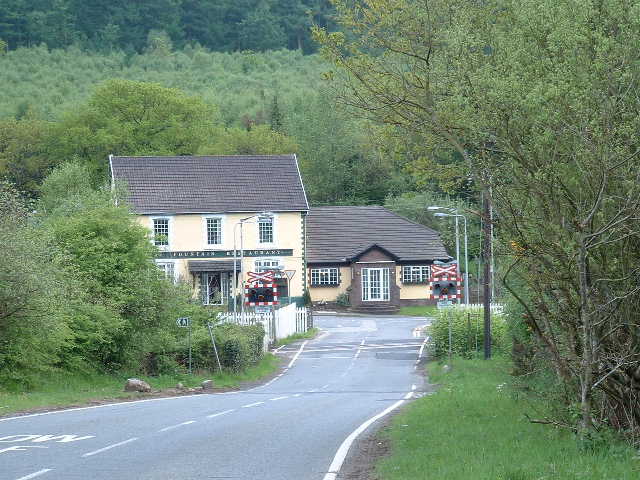
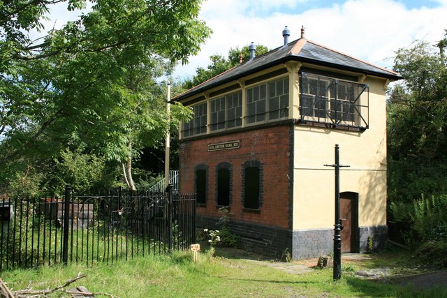
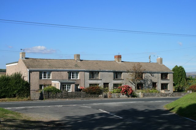
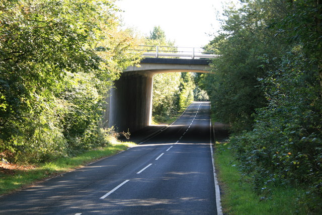
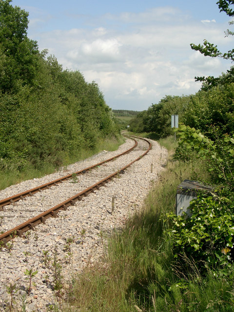
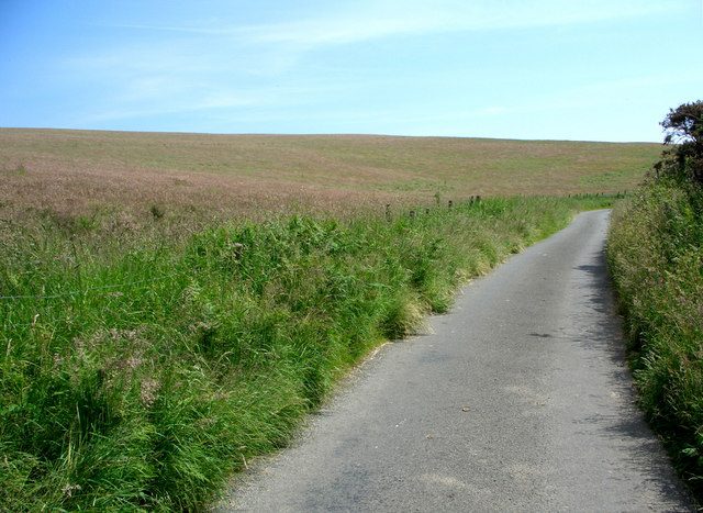
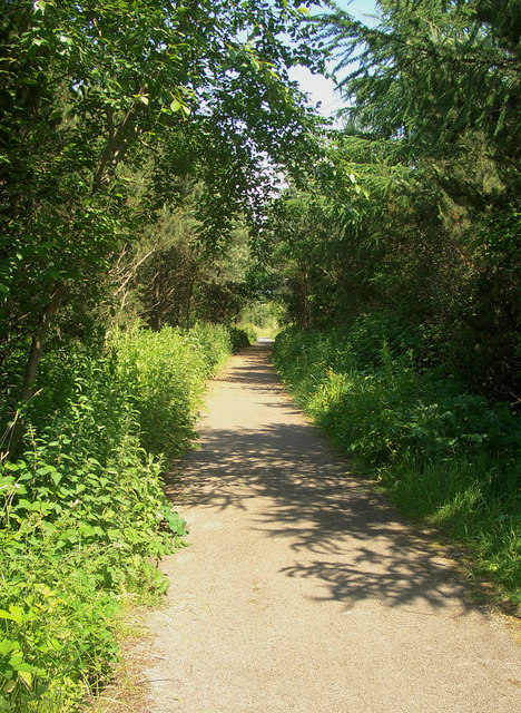
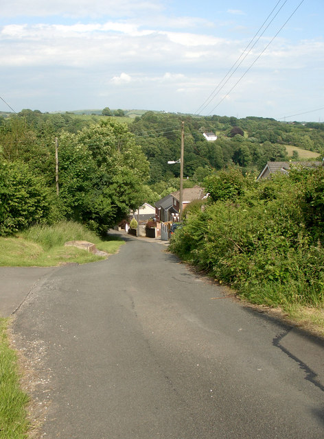
Hay Meadows Images
Images are sourced within 2km of 51.544446/-3.6231223 or Grid Reference SS8784. Thanks to Geograph Open Source API. All images are credited.
Hay Meadows is located at Grid Ref: SS8784 (Lat: 51.544446, Lng: -3.6231223)
Unitary Authority: Bridgend
Police Authority: South Wales
What 3 Words
///tentacles.denoting.teacher. Near Aberkenfig, Bridgend
Nearby Locations
Related Wikis

Cwm Risca Meadow
Cwm Risca Meadow is a Site of Special Scientific Interest in Bridgend, south Wales. It is nationally important marshy grassland supporting the marsh fritillary...
Bryn–bach, Cefn Cribwr
Bryn–bach, Cefn Cribwr is a Site of Special Scientific Interest in Cefn Cribwr, south Wales. == See also == List of Sites of Special Scientific Interest...
Llangynwyd Lower
Llangynwyd Lower is a community in Bridgend County Borough, south Wales. It is located to the north west of Bridgend and contains the village of Coytrahen...
Garw Valley Railway
The Garw Valley Railway is the trading name of the Bridgend Valleys Railway Company Limited. It operates a short section of 4 ft 8+1⁄2 in (1,435 mm) standard...
Tondu
Tondu (English: Black Meadow) is a village in Bridgend County Borough, Wales, located about 3 miles (4.8 km) north of the town of Bridgend, in the community...

Parc Slip Colliery
Parc Slip Colliery was a coal mine near situated at Aberkenfig, near Tondu in Bridgend County Borough, Wales. == History == === Parc Slip Colliery: 1860... ===
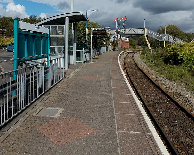
Tondu railway station
Tondu railway station is a railway station serving the village of Tondu, Bridgend county borough, South Wales. It is located on the Maesteg Line from Cardiff...
Caeau Cefn Cribwr
Caeau Cefn Cribwr is a Site of Special Scientific Interest near Cefn Cribwr in Bridgend, south Wales. The Countryside Council for Wales states that the...
Nearby Amenities
Located within 500m of 51.544446,-3.6231223Have you been to Hay Meadows?
Leave your review of Hay Meadows below (or comments, questions and feedback).