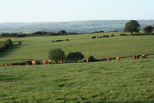
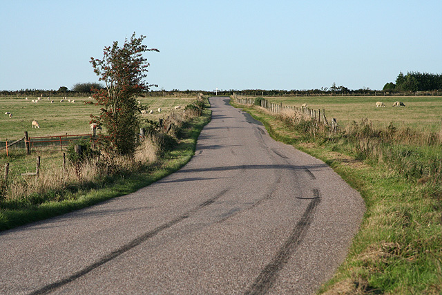
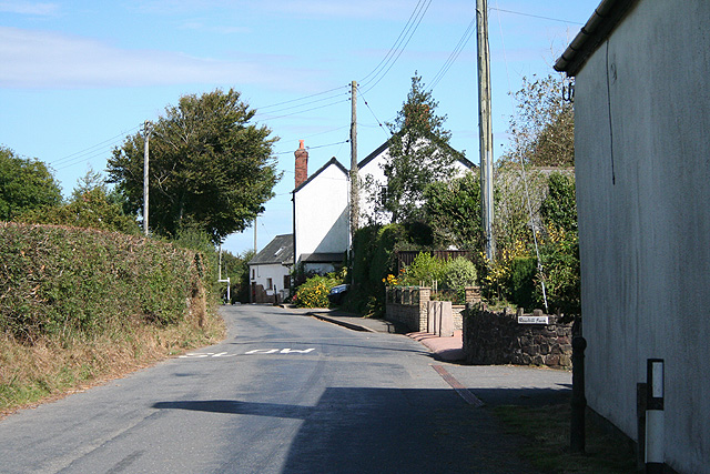
Knowstone Inner Moor
Downs, Moorland in Devon North Devon
England
Knowstone Inner Moor
The requested URL returned error: 429 Too Many Requests
If you have any feedback on the listing, please let us know in the comments section below.
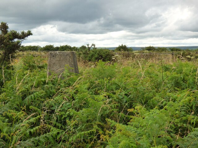
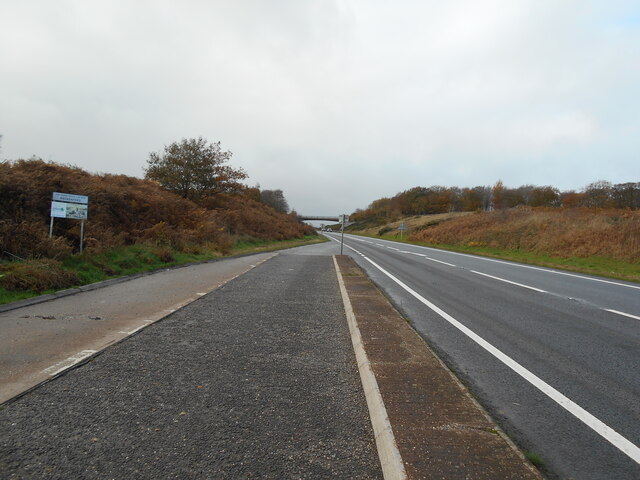
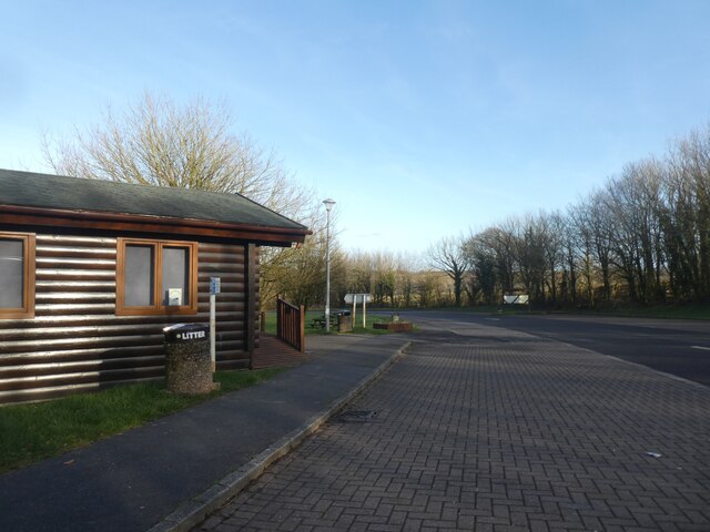
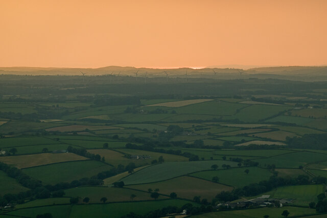
Knowstone Inner Moor Images
Images are sourced within 2km of 50.983273/-3.6576061 or Grid Reference SS8321. Thanks to Geograph Open Source API. All images are credited.


Knowstone Inner Moor is located at Grid Ref: SS8321 (Lat: 50.983273, Lng: -3.6576061)
Administrative County: Devon
District: North Devon
Police Authority: Devon and Cornwall
What 3 Words
///positions.extremes.galloping. Near Witheridge, Devon
Nearby Locations
Related Wikis

Roachill
Roachill is a hamlet in the civil parish of Knowstone in the North Devon district of Devon, England. Its nearest town is Tiverton, which lies approximately...

Rackenford and Knowstone Moors
Rackenford and Knowstone Moors is a nature reserve of the Devon Wildlife Trust, situated about 8 miles (13 km) north-west of Tiverton, in Devon, England...

Knowstone
Knowstone is a village and civil parish situated in the North Devon district of Devon, England, halfway between the Mid Devon town of Tiverton, Devon and...

Creacombe
Creacombe is a small village and former civil parish, now in the parish of Rackenford, in the North Devon district of Devon, England. Its nearest town...
Nearby Amenities
Located within 500m of 50.983273,-3.6576061Have you been to Knowstone Inner Moor?
Leave your review of Knowstone Inner Moor below (or comments, questions and feedback).