Stallage Common

Downs, Moorland in Devon Teignbridge

England

Stallage Common

Denbury Hill On top of Denbury Hill (150m high) is the site of an Iron-Age hill fortification. Iron Age was 100 - 300 BC and was the third of the named ages of man's development - Stone Age, Bronze Age and Iron Age.

The fortification has a series of concentric earthworks and on top of the inner earthworks would have been a protective wooden stockade or a stone wall.

When the protected settlement was lived,  there would have been thatched round houses with ancillary storage buildings. The settlement would have probably been the home of a local tribal chief and his people.

The site commands a superb view all around the countryside below and is now covered with very high trees which in summer limits the view from anywhere on the site of the old hill fort. <a href="https://www.geograph.org.uk/photo/2350383">SX8168 : Denbury Hill Fort  - Earthworks</a>
Denbury Hill Credit: Colin Vosper

Stallage Common is a picturesque area located in Devon, England, known for its stunning natural beauty and diverse ecosystems. Situated amidst the idyllic countryside, it encompasses a vast expanse of downs, moorland, and heathland, offering a unique experience to visitors.

Covering an area of approximately 500 acres, Stallage Common is a haven for wildlife enthusiasts and nature lovers. The common is home to a wide range of flora and fauna, including rare bird species, butterflies, and wildflowers. Visitors can explore the winding footpaths that crisscross the landscape and take in the breathtaking views of rolling hills and expansive meadows.

The common's diverse terrain comprises of grassy slopes, heather-covered moorland, and patches of gorse and bracken. It provides an ideal habitat for a multitude of wildlife species, such as Dartford warblers, skylarks, and adders. Many visitors also enjoy the tranquility of the area, which offers a peaceful retreat from the hustle and bustle of city life.

Stallage Common is a popular destination for outdoor activities such as hiking, birdwatching, and nature photography. The abundance of walking trails and picnic spots allows visitors to immerse themselves in the natural splendor of the surroundings. Moreover, the common's accessibility and well-maintained paths make it suitable for people of all ages and abilities.

Overall, Stallage Common in Devon is a haven of natural beauty, offering visitors the chance to connect with nature and explore the stunning landscapes of the region. Whether one seeks adventure or tranquility, this common provides an unforgettable experience for all who visit.

If you have any feedback on the listing, please let us know in the comments section below.

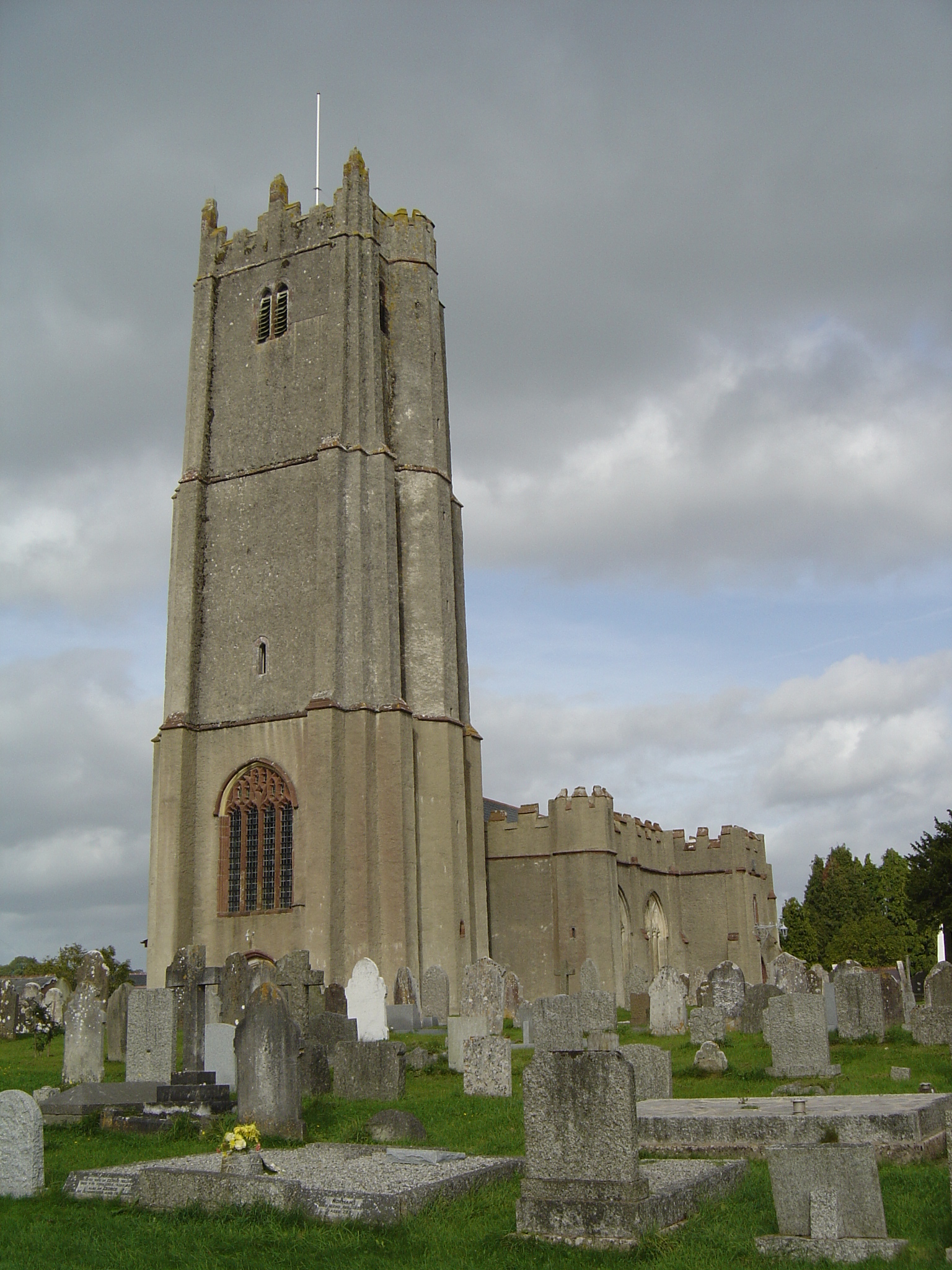
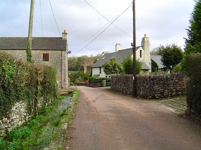
Stallage Common Images

Images are sourced within 2km of 50.497103/-3.6415114 or Grid Reference SX8367. Thanks to Geograph Open Source API. All images are credited.

Denbury Hill On top of Denbury Hill (150m high) is the site of an Iron-Age hill fortification. Iron Age was 100 - 300 BC and was the third of the named ages of man's development - Stone Age, Bronze Age and Iron Age.

The fortification has a series of concentric earthworks and on top of the inner earthworks would have been a protective wooden stockade or a stone wall.

When the protected settlement was lived,  there would have been thatched round houses with ancillary storage buildings. The settlement would have probably been the home of a local tribal chief and his people.

The site commands a superb view all around the countryside below and is now covered with very high trees which in summer limits the view from anywhere on the site of the old hill fort. <a href="https://www.geograph.org.uk/photo/2350383">SX8168 : Denbury Hill Fort  - Earthworks</a>
Denbury Hill
On top of Denbury Hill (150m high) is the site of an Iron-Age hill fortification. Iron Age was 100 - 300 BC and was the third of the named ages of man's development - Stone Age, Bronze Age and Iron Age. The fortification has a series of concentric earthworks and on top of the inner earthworks would have been a protective wooden stockade or a stone wall. When the protected settlement was lived, there would have been thatched round houses with ancillary storage buildings. The settlement would have probably been the home of a local tribal chief and his people. The site commands a superb view all around the countryside below and is now covered with very high trees which in summer limits the view from anywhere on the site of the old hill fort. SX8168 : Denbury Hill Fort - Earthworks
Farm track at Stubbins Cross The crossroads is at a right angle bend in the metalled road; the other two roads are unsurfaced farm tracks.  This is the track leading north to West Ogwell Cross
Farm track at Stubbins Cross
The crossroads is at a right angle bend in the metalled road; the other two roads are unsurfaced farm tracks. This is the track leading north to West Ogwell Cross
Channings Wood prison
The end of Greenhill Lane and East Street, Denbury
Denbury church The church is rendered (which is unusual).  The clock only has one hand.
Denbury church
The church is rendered (which is unusual). The clock only has one hand.
Monument at Denbury The monument is on the grave of Assistant Scout Master Thomas Peter Butler who died in 1932 at the age of 24 years.
Monument at Denbury
The monument is on the grave of Assistant Scout Master Thomas Peter Butler who died in 1932 at the age of 24 years.
The millennium tapestry in Denbury church The tapestry shows scenes from the history of the village.
The millennium tapestry in Denbury church
The tapestry shows scenes from the history of the village.
Crossroads at the centre of Denbury On the wall at the left is a mosaic made by the local Brownies to mark the centenary of Girl Guides in 2010.  In the centre of the street is the Denbury Cistern.  It supplied water to the village from a spring on Denbury Down until the 20th century.
Crossroads at the centre of Denbury
On the wall at the left is a mosaic made by the local Brownies to mark the centenary of Girl Guides in 2010. In the centre of the street is the Denbury Cistern. It supplied water to the village from a spring on Denbury Down until the 20th century.
The beginning of the path to Tornewton
View up the slope Taken from the Torbryan to Tornewton footpath.
View up the slope
Taken from the Torbryan to Tornewton footpath.
The path to Torbryan A gentle climb up the valley from Torbryan.
The path to Torbryan
A gentle climb up the valley from Torbryan.
Holy Trinity, Torbryan A large church hidden in a small valley.
Holy Trinity, Torbryan
A large church hidden in a small valley.
Up 'Cornishman' glides down Dainton Bank View westward, towards Plymouth and Penzance; ex-GWR Exeter etc. - Plymouth - Penzance main line. 'Castle' 4-6-0 No. 5098 'Clifford Castle' (built 5/46 as the first of a modified post-war design, recently fitted with a double-chimney and withdrawn 6/64) has just surmounted the western side of Dainton Bank (two miles at 1-in-60 or worse) and is coasting down to Newton Abbot with the 'Cornishman', which left Penzance at 10.30 and will reach Wolverhampton, via Bristol, Cheltenham, Stratford-on-Avon and Birmingham (Snow Hill), at 19.05.
Up 'Cornishman' glides down Dainton Bank
View westward, towards Plymouth and Penzance; ex-GWR Exeter etc. - Plymouth - Penzance main line. 'Castle' 4-6-0 No. 5098 'Clifford Castle' (built 5/46 as the first of a modified post-war design, recently fitted with a double-chimney and withdrawn 6/64) has just surmounted the western side of Dainton Bank (two miles at 1-in-60 or worse) and is coasting down to Newton Abbot with the 'Cornishman', which left Penzance at 10.30 and will reach Wolverhampton, via Bristol, Cheltenham, Stratford-on-Avon and Birmingham (Snow Hill), at 19.05.
Ipplepen main street, looking towards St Andrew's Church
Road junction at Orley Common
Steam and Diesel combination on Up 'Cornish Riviera Express' at Dainton Summit View westward, towards Plymouth; ex-GW Exeter - Plymouth - Penzance main line. The express has just breached the summit in Dainton Tunnel and is about to glide down to Newton Abbot. Even the then new 'Warship' (later Classes 42 and 43) B-B Diesel-Hydraulics had to be assisted by steam locomotives over the fearsome South Devon Banks - and often elsewhere: this is No. 815 'Druid' (built 1/60l, withdrawn 7/71), piloted by 'Grange' 4-6-0 No. 6805 'Broughton Grange' (built 9/36, withdrawn 3/61), presumably between Plymouth and Newton Abbot. (See also <a href="https://www.geograph.org.uk/photo/2446653">SX8566 : Up 'Cornishman' glides down Dainton Bank</a>).
Steam and Diesel combination on Up 'Cornish Riviera Express' at Dainton Summit
View westward, towards Plymouth; ex-GW Exeter - Plymouth - Penzance main line. The express has just breached the summit in Dainton Tunnel and is about to glide down to Newton Abbot. Even the then new 'Warship' (later Classes 42 and 43) B-B Diesel-Hydraulics had to be assisted by steam locomotives over the fearsome South Devon Banks - and often elsewhere: this is No. 815 'Druid' (built 1/60l, withdrawn 7/71), piloted by 'Grange' 4-6-0 No. 6805 'Broughton Grange' (built 9/36, withdrawn 3/61), presumably between Plymouth and Newton Abbot. (See also SX8566 : Up 'Cornishman' glides down Dainton Bank).
GW 2-6-2T banking a Down freight to Dainton Summit View westward, towards Dainton Tunnel and Plymouth: ex-GW South Devon main line. The banker is '5101' 2-6-2T No. 4176 (built 11/49) and has helped the train up from Newton Abbot. (See also <a href="https://www.geograph.org.uk/photo/2505464">SX8566 : Steam and Diesel combination on Up 'Cornish Riviera Express' at Dainton Summit</a>).(The Distant signal may well be one 'fixed' at Caution).
GW 2-6-2T banking a Down freight to Dainton Summit
View westward, towards Dainton Tunnel and Plymouth: ex-GW South Devon main line. The banker is '5101' 2-6-2T No. 4176 (built 11/49) and has helped the train up from Newton Abbot. (See also SX8566 : Steam and Diesel combination on Up 'Cornish Riviera Express' at Dainton Summit).(The Distant signal may well be one 'fixed' at Caution).
St Andrew’s Church, Ipplepen, Devon   St Andrew’s was built in the 15th century building with but incorporates some fragments from the 14 century. The west tower has three stages and the porch has two storeys.
St Andrew’s Church, Ipplepen, Devon
St Andrew’s was built in the 15th century building with but incorporates some fragments from the 14 century. The west tower has three stages and the porch has two storeys.
Show me another place!

Stallage Common is located at Grid Ref: SX8367 (Lat: 50.497103, Lng: -3.6415114)

Administrative County: Devon

District: Teignbridge

Police Authority: Devon and Cornwall

What 3 Words

///data.destined.sweetened. Near Ipplepen, Devon

Related Wikis

Denbury Hill

Denbury Hill (also known as Denbury Camp and Denbury Down) is the name of an Iron Age hill fort near the village of Denbury in Devon, England. The fort...

Ipplepen

Ipplepen is a village and civil parish located within the Teignbridge district of the county of Devon in south-west England. A priory was located there...

Ipplepen Priory

Ipplepen Priory was an Augustinian monastic house in the English county of Devon. Ipplepen Augustinian priory was founded circa 1143, dependant on the...

Torbryan

Torbryan is a village and former civil parish, now in the parish of Denbury and Torbryan, in the Teignbridge district, in the county of Devon, England...

Nearby Amenities

Located within 500m of 50.497103,-3.6415114
Dornafield Cross
Junction: yes
Source: OS_OpenData_StreetView
Lat/Long: 50.4943576/-3.6375775
Denbury Cross
Junction: yes
Lat/Long: 50.494634/-3.6432628
Direction: 170
Generator Method: photovoltaic
Generator Output Electricity: yes
Generator Source: solar
Generator Type: solar_photovoltaic_panel
Location: roof
Power: generator
Lat/Long: 50.4961745/-3.6460394
Direction: S
Generator Method: photovoltaic
Generator Output Electricity: yes
Generator Solar Modules: 13
Generator Source: solar
Generator Type: solar_photovoltaic_panel
Location: roof
Power: generator
Lat/Long: 50.4963204/-3.6372323
Direction: S
Generator Method: photovoltaic
Generator Output Electricity: yes
Generator Solar Modules: 3
Generator Source: solar
Generator Type: solar_photovoltaic_panel
Location: roof
Power: generator
Lat/Long: 50.4962522/-3.6371022
The data included in this document is from www.openstreetmap.org. The data is made available under ODbL.

Have you been to Stallage Common?

Leave your review of Stallage Common below (or comments, questions and feedback).