Clogg's Down

Downs, Moorland in Somerset Somerset West and Taunton

England

Clogg's Down

Molland: Brimblecombe Hill Heather and bracken close to the road at Anstey Gate: the road sign on the horizon indicates the location. It warns of a cattle grid at the gate. Looking west
Molland: Brimblecombe Hill Credit: Martin Bodman

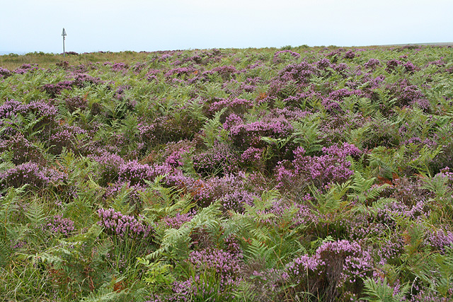
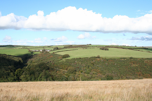
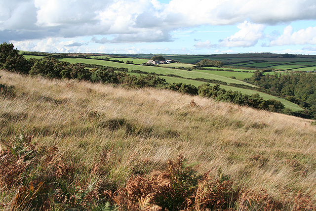
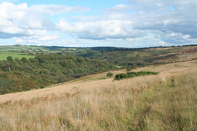
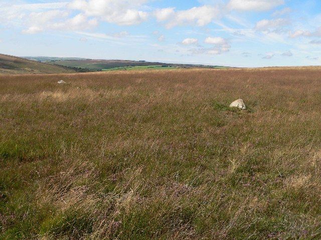
Clogg's Down is a picturesque area located in Somerset, England. Situated amidst the rolling hills and verdant landscapes, this region is predominantly characterized by its downs and moorland. The downs refer to the gentle slopes and hills that mark the topography of the area, while the moorland showcases vast expanses of open land covered in heather, grasses, and low-growing shrubs.

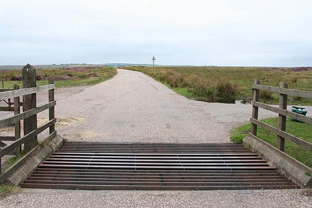
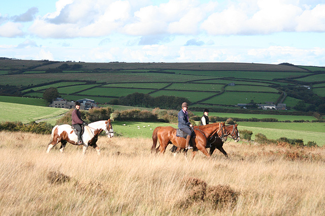
The terrain of Clogg's Down is ideal for outdoor enthusiasts and nature lovers. Hikers, walkers, and cyclists flock to this area to explore the numerous trails and paths that wind through the downs and moorland, providing breathtaking views at every turn. The diversity of wildlife in Clogg's Down is also a major attraction, with birdwatchers and nature photographers finding ample opportunities to spot various species of birds, including skylarks and curlews.

The flora and fauna of Clogg's Down are unique and varied, with wildflowers such as foxgloves and bluebells adding vibrant pops of color to the landscape. The region is also home to an array of small mammals, including rabbits, badgers, and foxes, that can be observed in their natural habitats.

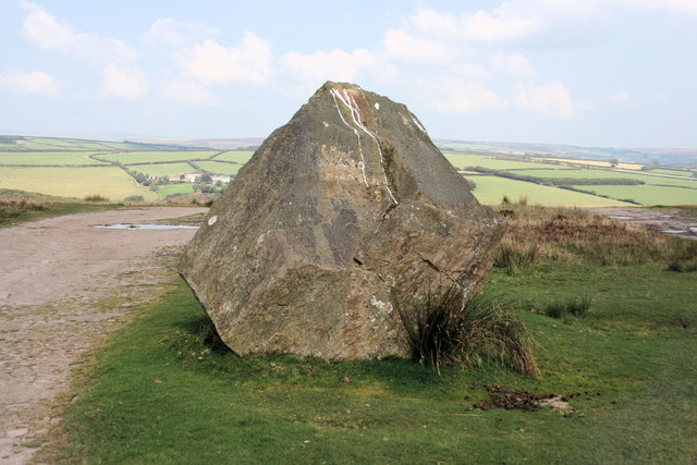
Clogg's Down is not only a haven for nature enthusiasts but also a place of historical significance. The area boasts ancient archaeological sites, including burial mounds and stone circles, which offer a glimpse into the rich history of the region.

Overall, Clogg's Down in Somerset is a captivating destination for those seeking tranquility, natural beauty, and a connection to the past.

If you have any feedback on the listing, please let us know in the comments section below.

Clogg's Down Images

Images are sourced within 2km of 51.072112/-3.662235 or Grid Reference SS8331. Thanks to Geograph Open Source API. All images are credited.

Molland: Brimblecombe Hill Heather and bracken close to the road at Anstey Gate: the road sign on the horizon indicates the location. It warns of a cattle grid at the gate. Looking west
Molland: Brimblecombe Hill
Heather and bracken close to the road at Anstey Gate: the road sign on the horizon indicates the location. It warns of a cattle grid at the gate. Looking west
West Anstey: Anstey Gate Looking west-north-west towards Molland Common
West Anstey: Anstey Gate
Looking west-north-west towards Molland Common
West Anstey: on West Anstey Common Looking north towards Shircombe Farm. Below the farm, nearer the camera, the Dane’s Brook turns through a right angle to run south-south-west past Lyshwell Wood before resuming a more easterly course. It has a confluence with the Barle near Mounsey Castle.
West Anstey: on West Anstey Common
Looking north towards Shircombe Farm. Below the farm, nearer the camera, the Dane’s Brook turns through a right angle to run south-south-west past Lyshwell Wood before resuming a more easterly course. It has a confluence with the Barle near Mounsey Castle.
West Anstey: towards Lyshwell Farm Looking north west on the edge of the moor towards Exmoor farmland
West Anstey: towards Lyshwell Farm
Looking north west on the edge of the moor towards Exmoor farmland
West Anstey: Anstey Rhiney Moor Looking east-north-east over the Dane’s Brook valley
West Anstey: Anstey Rhiney Moor
Looking east-north-east over the Dane’s Brook valley
West Anstey: riders near Anstey Gate Looking north on West Anstey Common with Lyshwell, left, and Cloggs farms in shadow in the distance
West Anstey: riders near Anstey Gate
Looking north on West Anstey Common with Lyshwell, left, and Cloggs farms in shadow in the distance
Froude Hancock Memorial This boulder is a memorial to Froude Hancock a local celebrity and England Rugby player.
Froude Hancock Memorial
This boulder is a memorial to Froude Hancock a local celebrity and England Rugby player.
Inscription on Froude Hancock Memorial Simple, if indistinct, inscription is "Froude Hancock 1865 - 1933".
Inscription on Froude Hancock Memorial
Simple, if indistinct, inscription is "Froude Hancock 1865 - 1933".
Memorial stone on West Anstey Common
Autumn colours in an Exmoor hedge
Cattle grid at Anstey Gate
Footpath across Molland Common above Anstey's Combe The footpath from Smallacombe to Anstey Gate passes a lichen covered tree just above Anstey's Combe.
Footpath across Molland Common above Anstey's Combe
The footpath from Smallacombe to Anstey Gate passes a lichen covered tree just above Anstey's Combe.
Road to Brimblecombe Hill A straight stretch of road across the moorland of Molland Common
Road to Brimblecombe Hill
A straight stretch of road across the moorland of Molland Common
Old Direction Sign - Signpost by Withypool Cross, Withypool and Hawkridge Parish Pyramid finial - 3 arms; Somerset SCC pyramid by the UC road, in parish of Withypool and Hawkridge (West Somerset District), Withypool.

To be surveyed

Milestone Society National ID: SO_SS8431
Old Direction Sign - Signpost by Withypool Cross, Withypool and Hawkridge Parish
Pyramid finial - 3 arms; Somerset SCC pyramid by the UC road, in parish of Withypool and Hawkridge (West Somerset District), Withypool. To be surveyed Milestone Society National ID: SO_SS8431
Porchester Post
Porchester Post
Gateway on Halscombe Allotment
Lone cow on Moorhouse Ridge
Valley below Red Ford
Show me another place!

Clogg's Down is located at Grid Ref: SS8331 (Lat: 51.072112, Lng: -3.662235)

Administrative County: Somerset

District: Somerset West and Taunton

Police Authority: Avon and Somerset

What 3 Words

///camper.rags.stall. Near Dulverton, Somerset

Nearby Locations

Fox Combe Clogg's Down

Related Wikis

Church of St Giles, Hawkridge

The Anglican Church of St Giles in Hawkridge, Somerset, England was built in the 14th century. It is a Grade II* listed building. == History == The oldest...

Withypool Stone Circle

Withypool Stone Circle, also known as Withypool Hill Stone Circle, is a stone circle located on the Exmoor moorland, near the village of Withypool in the...

Tarr Steps

The Tarr Steps is a clapper bridge across the River Barle in the Exmoor National Park, Somerset, England. They are located in a national nature reserve...

Withypool Bridge

The Withypool Bridge is an arch bridge that carries a small road over the River Barle at Withypool in Somerset, England. It is a Grade II* listed building...

Have you been to Clogg's Down?

Leave your review of Clogg's Down below (or comments, questions and feedback).