Hadleigh Heath

Settlement in Suffolk Babergh

England

Hadleigh Heath

Primitive Methodist Chapel, Polstead Heath, Suffolk This chapel was built in 1880.
Primitive Methodist Chapel, Polstead Heath, Suffolk Credit: Robert Edwards

Hadleigh Heath is a picturesque area located in the county of Suffolk, England. It is situated about 9 miles west of Ipswich, the county town of Suffolk. This heathland is known for its natural beauty and is a popular destination for both locals and tourists alike.

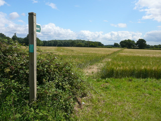
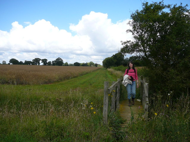
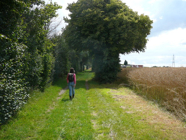
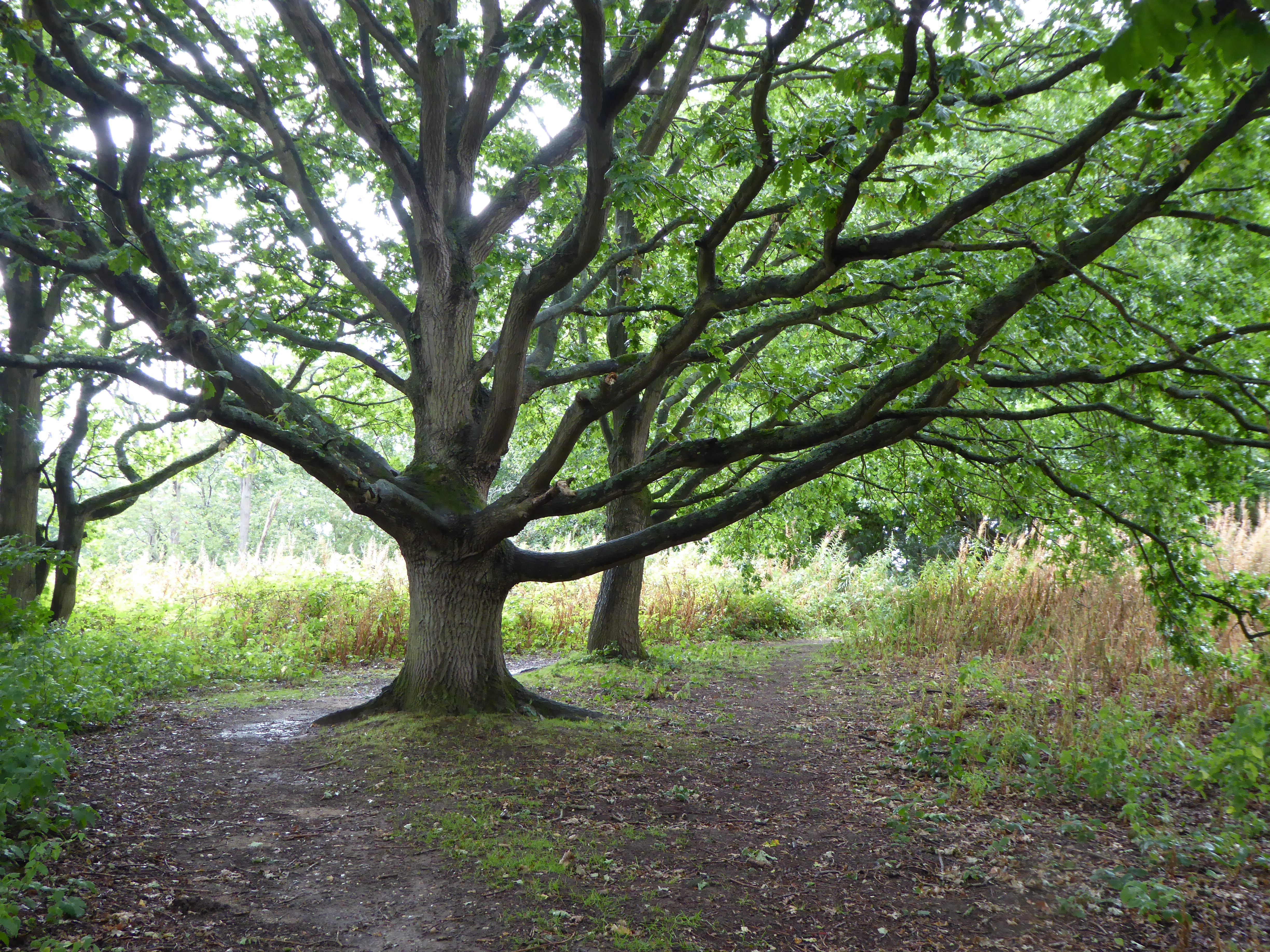
Covering an area of approximately 400 acres, Hadleigh Heath is characterized by rolling hills, open grasslands, and scattered woodlands, providing a diverse and rich ecological habitat. The heath is home to a variety of flora and fauna, including heather, gorse, and several species of birds and butterflies.

The heathland offers numerous walking trails and footpaths, making it an ideal spot for outdoor enthusiasts and nature lovers. Visitors can enjoy leisurely strolls or more challenging hikes, taking in the breathtaking views and immersing themselves in the tranquility of the surroundings.

Hadleigh Heath also holds historical significance. It was once used for grazing livestock and played an important role in the local economy. Today, remnants of its history, such as old field boundaries and ancient monuments, can still be seen, adding to the charm and character of the area.

Additionally, the heath is a designated Site of Special Scientific Interest (SSSI) due to its unique and sensitive ecosystem. This recognition highlights the importance of preserving and protecting this natural treasure for future generations.

Overall, Hadleigh Heath offers a serene escape from the bustling city life, providing a haven for wildlife and a peaceful retreat for visitors to enjoy the beauty of the Suffolk countryside.

If you have any feedback on the listing, please let us know in the comments section below.

Hadleigh Heath Images

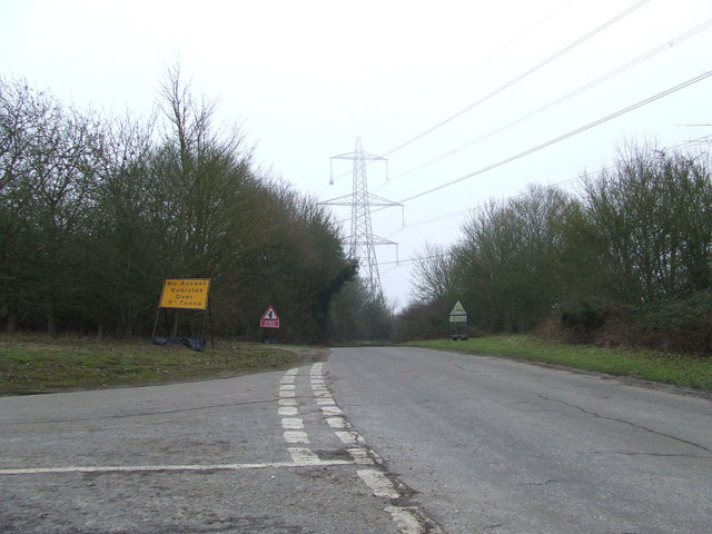
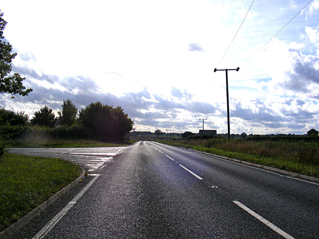
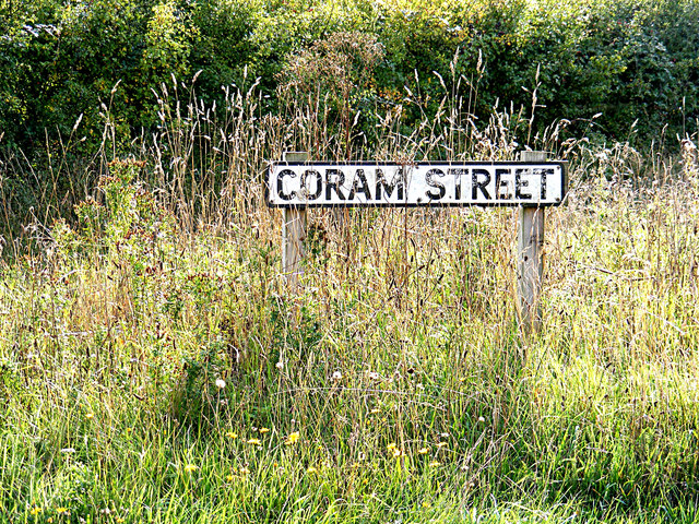
Images are sourced within 2km of 52.03609/0.912754 or Grid Reference TL9941. Thanks to Geograph Open Source API. All images are credited.

Primitive Methodist Chapel, Polstead Heath, Suffolk This chapel was built in 1880.
Primitive Methodist Chapel, Polstead Heath, Suffolk
This chapel was built in 1880.
Field path near Pott's Farm, Hadleigh Heath
Field path over minor brook near Pott's Cottages, Hadleigh Heath
Walking towards Rand's Farm, near Hadleigh
Hadleigh Heath from the air To the west of Hadleigh, part of which can be seen on the right.
Hadleigh Heath from the air
To the west of Hadleigh, part of which can be seen on the right.
Track to east of Coram Street Wood
Rands Road Rands road near to Polstead Heath, Suffolk.
Rands Road
Rands road near to Polstead Heath, Suffolk.
Rands Road Looking east along Rands Road near to Polstead Heath, Suffolk.
Rands Road
Looking east along Rands Road near to Polstead Heath, Suffolk.
A1071 Coram Road, Kersey At the junction with Coram Road
A1071 Coram Road, Kersey
At the junction with Coram Road
Coram Street sign On Coram Street at the junction with the A1071 Coram Street
Coram Street sign
On Coram Street at the junction with the A1071 Coram Street
Coram Road, Kersey Near the junction with the A1071 Coram Road
Coram Road, Kersey
Near the junction with the A1071 Coram Road
Coram Road, Kersey At the junction with the A1071 Coram Road
Coram Road, Kersey
At the junction with the A1071 Coram Road
A1071 Coram Road, Hadleigh Heath At the junction with Rands Road
A1071 Coram Road, Hadleigh Heath
At the junction with Rands Road
Rands Road, Hadleigh Heath At the junction with the A1071 Coram Road
Rands Road, Hadleigh Heath
At the junction with the A1071 Coram Road
House in Kersey Vale
Japanese Knotweed, Polstead Heath Restricted access sign on Straight Road, Polstead Heath.
Japanese Knotweed, Polstead Heath
Restricted access sign on Straight Road, Polstead Heath.
The end of Straight Road, Polstead Heath Straight Road ends at Stackwood Road/Millwood Road.
The end of Straight Road, Polstead Heath
Straight Road ends at Stackwood Road/Millwood Road.
The end of Straight Road, Polstead Heath (close up) Close up of <a title="https://www.geograph.org.uk/photo/3865769" href="https://www.geograph.org.uk/photo/3865769">Link</a>.
The end of Straight Road, Polstead Heath (close up)
Close up of Link.
Show me another place!

Hadleigh Heath is located at Grid Ref: TL9941 (Lat: 52.03609, Lng: 0.912754)

Administrative County: Suffolk

District: Babergh

Police Authority: Suffolk

What 3 Words

///acrobats.breeze.doctor. Near Hadleigh, Suffolk

Nearby Locations

Hadleigh Heath

Related Wikis

Kersey, Suffolk

Kersey is a village and civil parish in the Babergh district in Suffolk, in the east of England. The main street has a ford across a stream. Its principal...

Broom Hill, Hadleigh

Broom Hill, Hadleigh is a 9.6 hectares (24 acres) Local Nature Reserve in Hadleigh in Suffolk. It is owned and managed by Babergh District Council.This...

Riverside Walk, Hadleigh

Riverside Walk is a 4.6-hectare Local Nature Reserve on the western outskirts of Hadleigh in Suffolk. It is owned and managed by Babergh District Council...

Groton Wood

Groton Wood is a 20.2-hectare (50-acre) biological Site of Special Scientific Interest north-east of Groton in Suffolk. It is owned and managed by the...

Nearby Amenities

Located within 500m of 52.03609,0.912754
Bus Stop
Stackwood Road
Bus: yes
Naptan AtcoCode: 390010431
Naptan Bearing: W
Naptan BusStopType: CUS
Naptan CommonName: Stackwood Road
Naptan Indicator: adj
Naptan Landmark: Polstead Turn
Naptan NaptanCode: sufagdtj
Naptan Street: A1071
Naptan Verified: no
Public Transport: platform
Source: naptan_import
Lat/Long: 52.0365769/0.9127174
Bus Stop
Stackwood Road
Bus: yes
Naptan AtcoCode: 390010432
Naptan Bearing: E
Naptan BusStopType: CUS
Naptan CommonName: Stackwood Road
Naptan Indicator: opp
Naptan Landmark: Polstead Turn
Naptan NaptanCode: sufagdtm
Naptan Street: A1071
Naptan Verified: no
Public Transport: platform
Source: naptan_import
Lat/Long: 52.0366922/0.9127832
Power: pole
Lat/Long: 52.0381648/0.9155508
Power: pole
Lat/Long: 52.0381254/0.9088628
Power: pole
Lat/Long: 52.0380394/0.9170741
Power: pole
Lat/Long: 52.0381846/0.9109052
Power: pole
Lat/Long: 52.0382737/0.9140434
Power: pole
Lat/Long: 52.0380632/0.9067172
Power: pole
Lat/Long: 52.0382341/0.9124341
Power: pole
Lat/Long: 52.0379008/0.9188765
Hadleigh Heath
Place: hamlet
Wikidata: Q1012050
Lat/Long: 52.0362751/0.9117416
Post Box
Ref: IP7 1368
Lat/Long: 52.0359704/0.9130237
The data included in this document is from www.openstreetmap.org. The data is made available under ODbL.

Have you been to Hadleigh Heath?

Leave your review of Hadleigh Heath below (or comments, questions and feedback).