Aller Down

Downs, Moorland in Devon Mid Devon

England

Aller Down

Crossroads on Henstill Lane Crossroads at junction of Henstill Lane with another minor road from Ridgeway's Cross to Jack Back's Cross. Henstill Lane north and then west to East Henstill is a no-through road, at least for vehicles (there is a continuation by bridleway to Perryman's Hill).
Crossroads on Henstill Lane Credit: Hugh Craddock

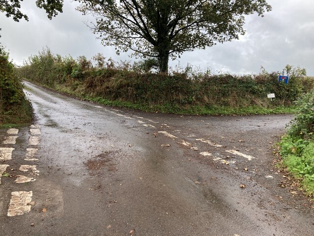
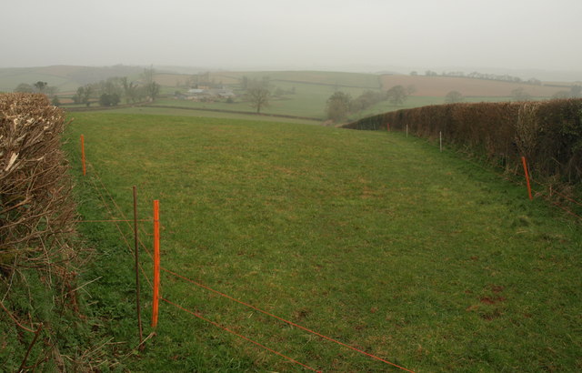
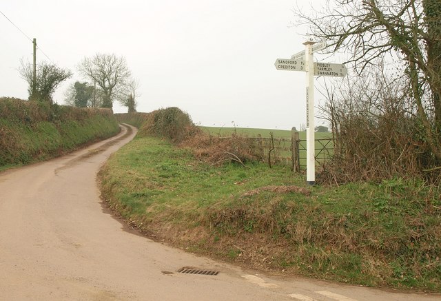
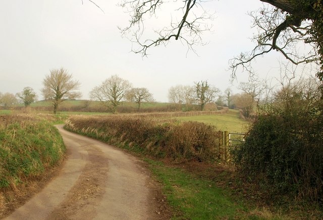
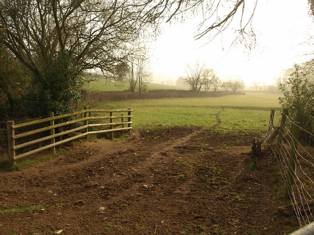
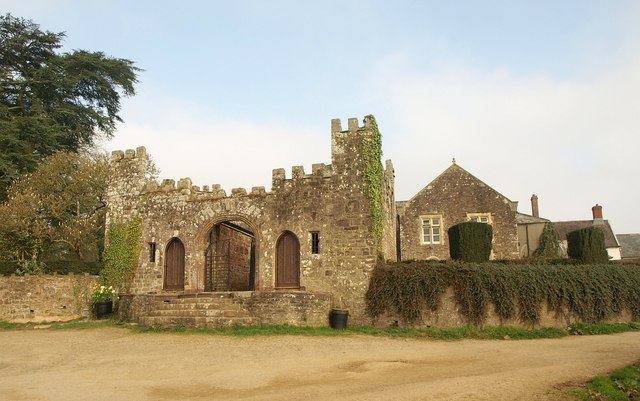
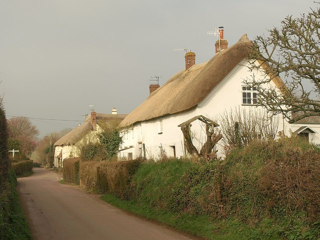
Aller Down, located in Devon, England, is a picturesque area encompassing both downs and moorland. It is characterized by its diverse and stunning natural landscapes, making it an attractive destination for nature enthusiasts and hikers. The downs in Aller Down are rolling hills covered in lush green grass, offering breathtaking panoramic views of the surrounding countryside. These downs are often dotted with grazing livestock, adding to the idyllic scenery.

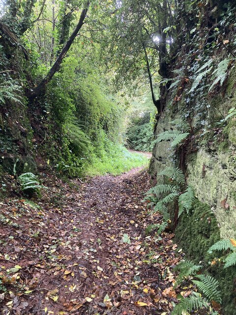
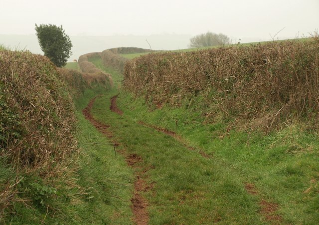
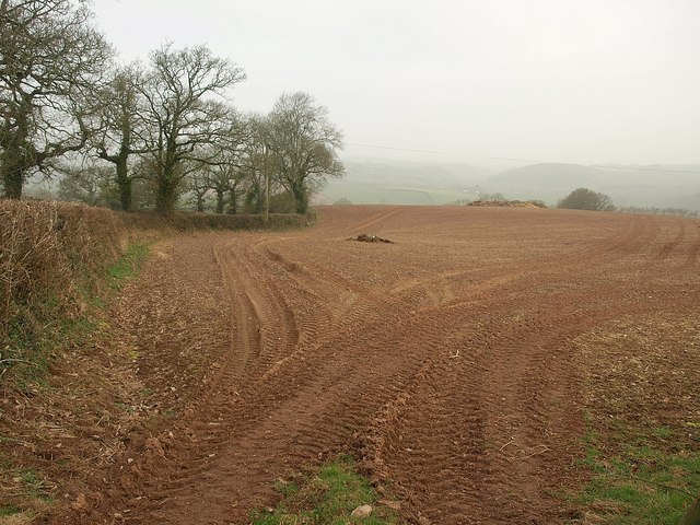
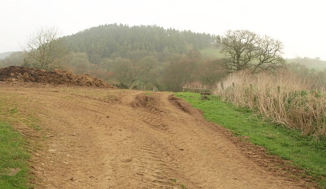
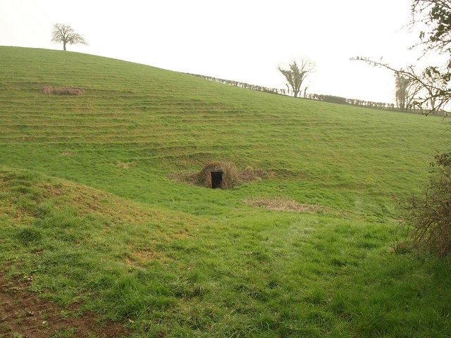
On the other hand, the moorland in Aller Down is characterized by its rugged and wild beauty. Heather-covered hills and vast expanses of open space dominate the moorland landscape, creating a sense of tranquility and solitude. The moorland is also home to various species of wildlife, including birds, deer, and smaller mammals, making it a popular spot for birdwatching and wildlife observation.

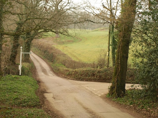
The area is crisscrossed by a network of walking trails and footpaths, providing ample opportunities for outdoor activities such as hiking and cycling. Visitors can explore the diverse flora and fauna of Aller Down while immersing themselves in the tranquil surroundings. Additionally, the area is well-preserved and maintained, ensuring that visitors can enjoy the natural beauty of Aller Down in its pristine state.

Overall, Aller Down offers a unique and captivating experience for nature lovers, with its combination of downs and moorland providing a diverse and enchanting landscape to explore.

If you have any feedback on the listing, please let us know in the comments section below.

Aller Down Images

Images are sourced within 2km of 50.826114/-3.6710732 or Grid Reference SS8204. Thanks to Geograph Open Source API. All images are credited.

Crossroads on Henstill Lane Crossroads at junction of Henstill Lane with another minor road from Ridgeway's Cross to Jack Back's Cross. Henstill Lane north and then west to East Henstill is a no-through road, at least for vehicles (there is a continuation by bridleway to Perryman's Hill).
Crossroads on Henstill Lane
Crossroads at junction of Henstill Lane with another minor road from Ridgeway's Cross to Jack Back's Cross. Henstill Lane north and then west to East Henstill is a no-through road, at least for vehicles (there is a continuation by bridleway to Perryman's Hill).
Deep Lane Deep Lane, a restricted byway (Sandford 51) from West Sandford north to the road from Jack Back's Cross to Ridgeway's Cross.  Narrow but deeply incised at the Sandford end, where it climbs steeply out of the village.
Deep Lane
Deep Lane, a restricted byway (Sandford 51) from West Sandford north to the road from Jack Back's Cross to Ridgeway's Cross. Narrow but deeply incised at the Sandford end, where it climbs steeply out of the village.
Deep Lane at West Sandford Deeply incised holloway, restricted byway Sandford 51 known as Deep Lane, rising from West Sandford towards the ridge road at the top.
Deep Lane at West Sandford
Deeply incised holloway, restricted byway Sandford 51 known as Deep Lane, rising from West Sandford towards the ridge road at the top.
Green Lane A green lane named "Green Lane", seen from the ridge lane between Ridgeway's Cross and Reedsdown Cross, and which soon plunges down to West Sandford.
Green Lane
A green lane named "Green Lane", seen from the ridge lane between Ridgeway's Cross and Reedsdown Cross, and which soon plunges down to West Sandford.
Towards Middle Henstill From the same ridge road junction as <a href="https://www.geograph.org.uk/photo/2316830">SS8103 : Green Lane</a>. Much of this field is in square but the farm at Middle Henstill is in <a href="https://www.geograph.org.uk/gridref/SS8003">SS8003</a>.
Towards Middle Henstill
From the same ridge road junction as SS8103 : Green Lane. Much of this field is in square but the farm at Middle Henstill is in SS8003.
Reedsdown Cross Showing Henstill Lane, heading towards Gipsies Corner between wide banks.
Reedsdown Cross
Showing Henstill Lane, heading towards Gipsies Corner between wide banks.
Jack Back's Cross Who was Jack Back? Anyway, the crossroads is perched on a hillside above the Binneford Water valley. To clarify, the arms on the signpost read: L: Sandford 1½, Crediton 3; R: Pidsley ¾, Yarmley 1, Swannaton 1¼ ; ahead: Newbuildings 1, Copplestone 3; behind camera: Black Dog 4.
Jack Back's Cross
Who was Jack Back? Anyway, the crossroads is perched on a hillside above the Binneford Water valley. To clarify, the arms on the signpost read: L: Sandford 1½, Crediton 3; R: Pidsley ¾, Yarmley 1, Swannaton 1¼ ; ahead: Newbuildings 1, Copplestone 3; behind camera: Black Dog 4.
Tilled field, Jack Back's Cross From the junction shown in <a href="https://www.geograph.org.uk/photo/2316843">SS8104 : Jack Back's Cross</a>, with Perryman's Hill (the lane to Pidsley) on the left.
Tilled field, Jack Back's Cross
From the junction shown in SS8104 : Jack Back's Cross, with Perryman's Hill (the lane to Pidsley) on the left.
Towards Windmill Hill A view from Coppice Lane past a manure heap. Hidden on this side of the Windmill Hill is the Binneford Water valley.
Towards Windmill Hill
A view from Coppice Lane past a manure heap. Hidden on this side of the Windmill Hill is the Binneford Water valley.
Junction near Dowrich Bridge Taken from Dowrich Bridge across Binneford Water. The right turn leads through Aller Down; straight ahead is for Sandford.
Junction near Dowrich Bridge
Taken from Dowrich Bridge across Binneford Water. The right turn leads through Aller Down; straight ahead is for Sandford.
Binneford Water The stream seen looking upstream from Dowrich Bridge, with daffodils on the banks.
Binneford Water
The stream seen looking upstream from Dowrich Bridge, with daffodils on the banks.
Lane to Vellake A no through road for most vehicles, but continuing as a green lane to Splitwell Cross.
Lane to Vellake
A no through road for most vehicles, but continuing as a green lane to Splitwell Cross.
Field beside Heathfield Copse Taken from the same spot as <a href="https://www.geograph.org.uk/photo/2316949">SS8305 : Lane to Vellake</a>, looking to the right; the copse is out of shot to the right.
Field beside Heathfield Copse
Taken from the same spot as SS8305 : Lane to Vellake, looking to the right; the copse is out of shot to the right.
Gatehouse, Dowrich Originally C16, the gatehouse <span class="nowrap"><a title="http://www.britishlistedbuildings.co.uk/en-445509-gatehouse-approximately-30-metres-south-" rel="nofollow ugc noopener" href="http://www.britishlistedbuildings.co.uk/en-445509-gatehouse-approximately-30-metres-south-">Link</a><img style="margin-left:2px;" alt="External link" title="External link - shift click to open in new window" src="https://s1.geograph.org.uk/img/external.png" width="10" height="10"/></span> with its square castellated turrets stands in front of Dowrich House.
Gatehouse, Dowrich
Originally C16, the gatehouse LinkExternal link with its square castellated turrets stands in front of Dowrich House.
Well, Dowrich A wellhead in a steep field near Dowrich House, with terracettes above.
Well, Dowrich
A wellhead in a steep field near Dowrich House, with terracettes above.
Thatched cottages, East Village On the right on Downhayne Hill are two listed cottages <span class="nowrap"><a title="http://www.britishlistedbuildings.co.uk/en-446656-oaklands-cottage-sandford" rel="nofollow ugc noopener" href="http://www.britishlistedbuildings.co.uk/en-446656-oaklands-cottage-sandford">Link</a><img style="margin-left:2px;" alt="External link" title="External link - shift click to open in new window" src="https://s1.geograph.org.uk/img/external.png" width="10" height="10"/></span> and <span class="nowrap"><a title="http://www.britishlistedbuildings.co.uk/en-446657-oaklands-sandford" rel="nofollow ugc noopener" href="http://www.britishlistedbuildings.co.uk/en-446657-oaklands-sandford">Link</a><img style="margin-left:2px;" alt="External link" title="External link - shift click to open in new window" src="https://s1.geograph.org.uk/img/external.png" width="10" height="10"/></span> . At the lane crossroads is a third <span class="nowrap"><a title="http://www.britishlistedbuildings.co.uk/en-446658-the-chantry-sandford" rel="nofollow ugc noopener" href="http://www.britishlistedbuildings.co.uk/en-446658-the-chantry-sandford">Link</a><img style="margin-left:2px;" alt="External link" title="External link - shift click to open in new window" src="https://s1.geograph.org.uk/img/external.png" width="10" height="10"/></span> .
Thatched cottages, East Village
On the right on Downhayne Hill are two listed cottages LinkExternal link and LinkExternal link . At the lane crossroads is a third LinkExternal link .
Postbox, East Village This Victorian postbox is practically hidden by foliage near the corner of The Chantry in <a href="https://www.geograph.org.uk/photo/218762">SS8405 : Sandford: East Village</a>. It's number is EX17 17.
Postbox, East Village
This Victorian postbox is practically hidden by foliage near the corner of The Chantry in SS8405 : Sandford: East Village. It's number is EX17 17.
Pump, East Village This old pump is virtually opposite the postbox shown in <a href="https://www.geograph.org.uk/photo/2317008">SS8405 : Postbox, East Village</a>.
Pump, East Village
This old pump is virtually opposite the postbox shown in SS8405 : Postbox, East Village.
Show me another place!

Aller Down is located at Grid Ref: SS8204 (Lat: 50.826114, Lng: -3.6710732)

Administrative County: Devon

District: Mid Devon

Police Authority: Devon and Cornwall

What 3 Words

///magazines.slipping.conquests. Near Crediton, Devon

Nearby Locations

Aller Down

Related Wikis

Fordy Wood Copse

Fordy Wood Copse is a woodland in Devon, England, near Sandford. It covers a total area of 0.64 hectares (1.58 acres) and overlooks the River Creedy. It...

Sandford, Devon

Sandford is a village and civil parish in the Mid Devon district, within Devon, England. Sandford is part of the electoral ward named Sandford and Creedy...

Upton Hellions

Upton Hellions is a village in Devon, England, located north of Long Barn and south of East Village, and near to Crediton. == External links == Media...

Creedy, Sandford

Creedy is an historic estate in the parish of Sandford, near Crediton in Devon. It is named from its location on the west side of the River Creedy. It...

Kennerleigh

Kennerleigh is a village and civil parish in Devon, England.The church is dedicated to St John the Baptist, which underwent significant restoration around...

Stockleigh English

Stockleigh English is a village and civil parish in Devon, England. It has a 15th-century church, Saint Mary the Virgin, which was restored 1878–83.Stockleigh...

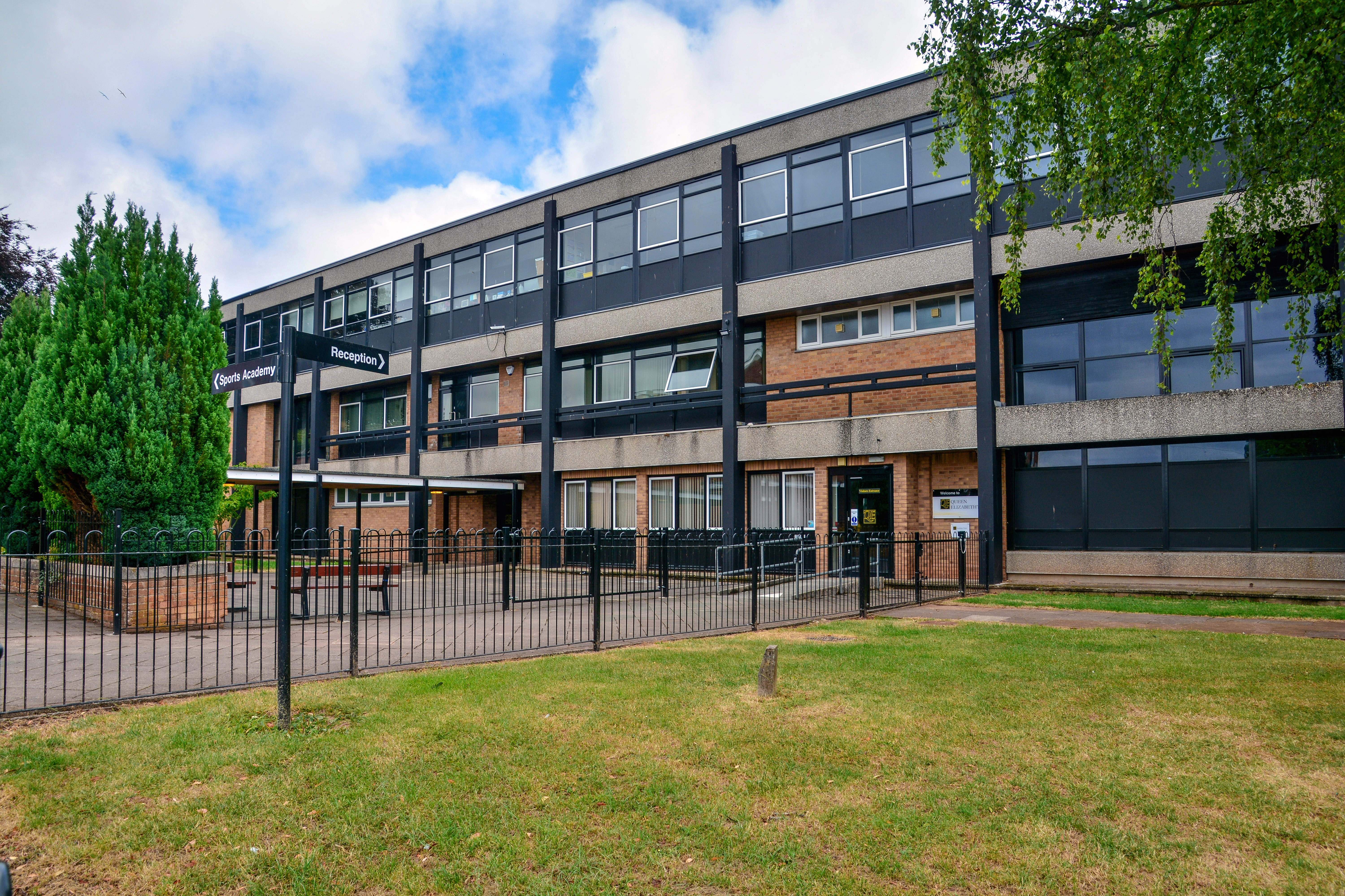
Queen Elizabeth's School, Crediton

Queen Elizabeth's School is an academy school, with a sixth-form, in Crediton, Devon. It has 1300 students. It was formed as a comprehensive school in...

Queen Elizabeth's Grammar School, Crediton

The former Queen Elizabeth's Grammar School in Crediton, Devon, England was founded (as The Kyng's Newe Gramer Scole of Credyton) in 1547 by Edward VI...

Related Videos

4K SANFORD Village in DEVON UK & Dinner at Lamb-Inn ||PINAYsaUK

Peaceful #Walking #Sanford #Crediton #LambInn #Dinner #PINAYsaUK #Devon #England #UK #UKTravel #PersonalVlog ...

Is this the MOST beautiful thatched Devon house you've ever seen?

Beautiful Upton Hellions Barton near Crediton. The absolute epitome of a Devon property on the sale market with a guide price of ...

Nearby Amenities

Located within 500m of 50.826114,-3.6710732
Aller Down Cross
Junction: yes
Lat/Long: 50.8280016/-3.6671429
Post Box
Operator: Royal Mail
Post Box Type: wall
Ref: EX17 29D
Royal Cypher: VR
Royal Cypher Wikidata: Q33102356
Lat/Long: 50.826996/-3.6763076
Knights Acre
Place: hamlet
Lat/Long: 50.8256824/-3.6753066
Coppice Cross
Place: locality
Lat/Long: 50.8281685/-3.6766717
Addr City: Crediton
Addr Housename: Aller Down Farm
Addr Postcode: EX17 4EE
Addr Suburb: Sandford
Lat/Long: 50.8246543/-3.6684308
Dowrich Bridge
Place: locality
Source: OS_OpenData_StreetView
Lat/Long: 50.8290358/-3.6676
Barrier: kissing_gate
Lat/Long: 50.8245426/-3.669723
Generator Method: photovoltaic
Generator Output Electricity: yes
Generator Source: solar
Generator Type: solar_photovoltaic_panel
Location: roof
Power: generator
Lat/Long: 50.8235443/-3.6708182
Power: pole
Source: bing
Lat/Long: 50.8223667/-3.6699298
Power: pole
Source: bing
Lat/Long: 50.8235596/-3.6689146
Power: pole
Source: bing
Lat/Long: 50.8286958/-3.6682776
Power: pole
Source: bing
Lat/Long: 50.829991/-3.6683433
Power: pole
Source: bing
Lat/Long: 50.8290957/-3.6683124
Power: pole
Source: bing
Lat/Long: 50.8279038/-3.6682414
Power: pole
Source: bing
Lat/Long: 50.8266111/-3.6682078
Power: pole
Source: bing
Lat/Long: 50.8273117/-3.6682239
Power: pole
Source: bing
Lat/Long: 50.8259867/-3.6681864
Power: pole
Source: bing
Lat/Long: 50.8253243/-3.6681716
Power: pole
Source: bing
Transformer: distribution
Lat/Long: 50.8246559/-3.6681917
Power: pole
Source: bing
Lat/Long: 50.8243856/-3.6682132
Power: pole
Source: bing
Lat/Long: 50.8229928/-3.6694027
Power: pole
Source: bing
Lat/Long: 50.8220279/-3.6724806
Power: pole
Source: bing
Lat/Long: 50.8222676/-3.6728708
Power: pole
Source: bing
Transformer: distribution
Lat/Long: 50.8217686/-3.6720581
Power: pole
Source: bing
Lat/Long: 50.8223913/-3.6687309
The data included in this document is from www.openstreetmap.org. The data is made available under ODbL.

Have you been to Aller Down?

Leave your review of Aller Down below (or comments, questions and feedback).