Hadham Cross

Settlement in Hertfordshire East Hertfordshire

England

Hadham Cross

The Palace, Much Hadham - south elevation The site historically housed a residence of the Bishops of London. The present, early C16 house was sequestrated during the English Civil War but then reverted to the Bishop at the Restoration. It became a lunatic asylum in 1817 until it passed back to the Ecclesiastical Commissioners in 1868. It was sold as a private house in 1888 and after World War II became the home of Major Sir Edward Beddington-Behrens. The property is now divided into three separate dwellings. Taken from the nearby churchyard of St Andrew.
The Palace, Much Hadham - south elevation Credit: David Kemp

The requested URL returned error: 429 Too Many Requests

If you have any feedback on the listing, please let us know in the comments section below.
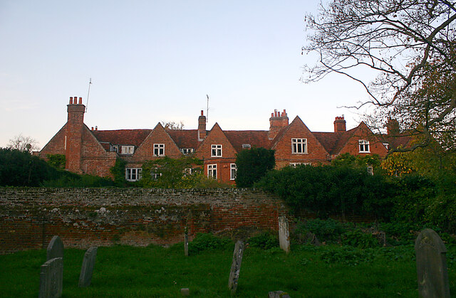
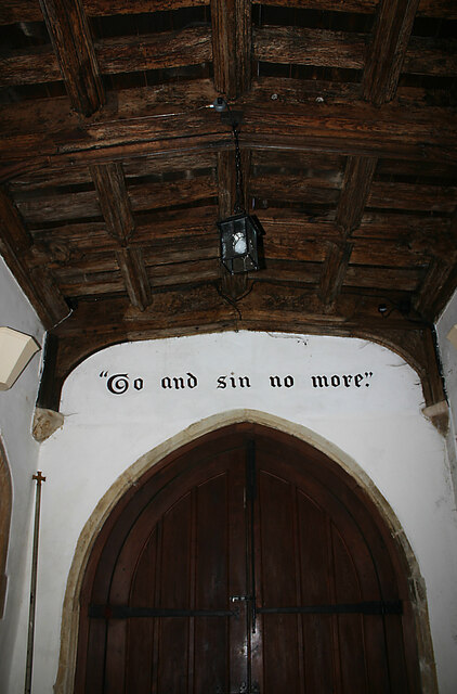
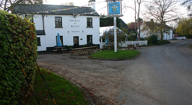
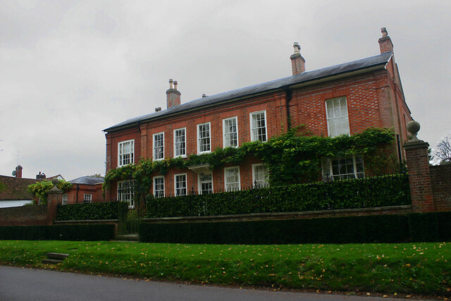
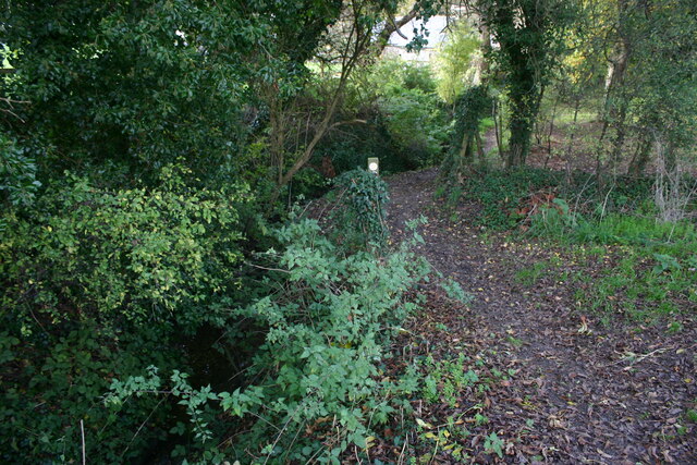
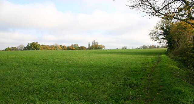
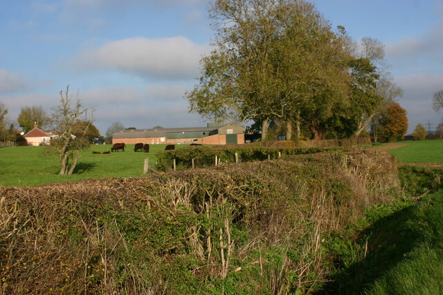
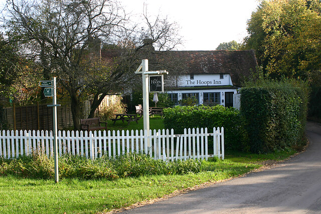
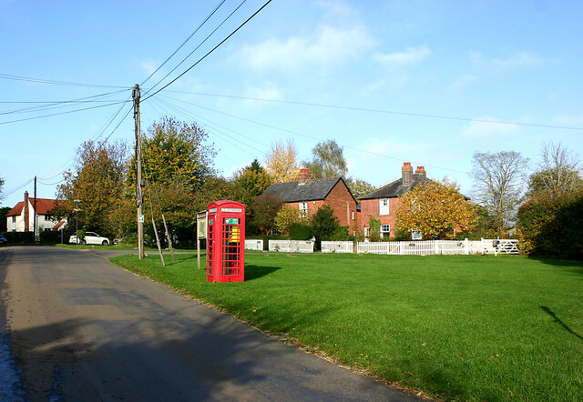
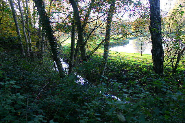
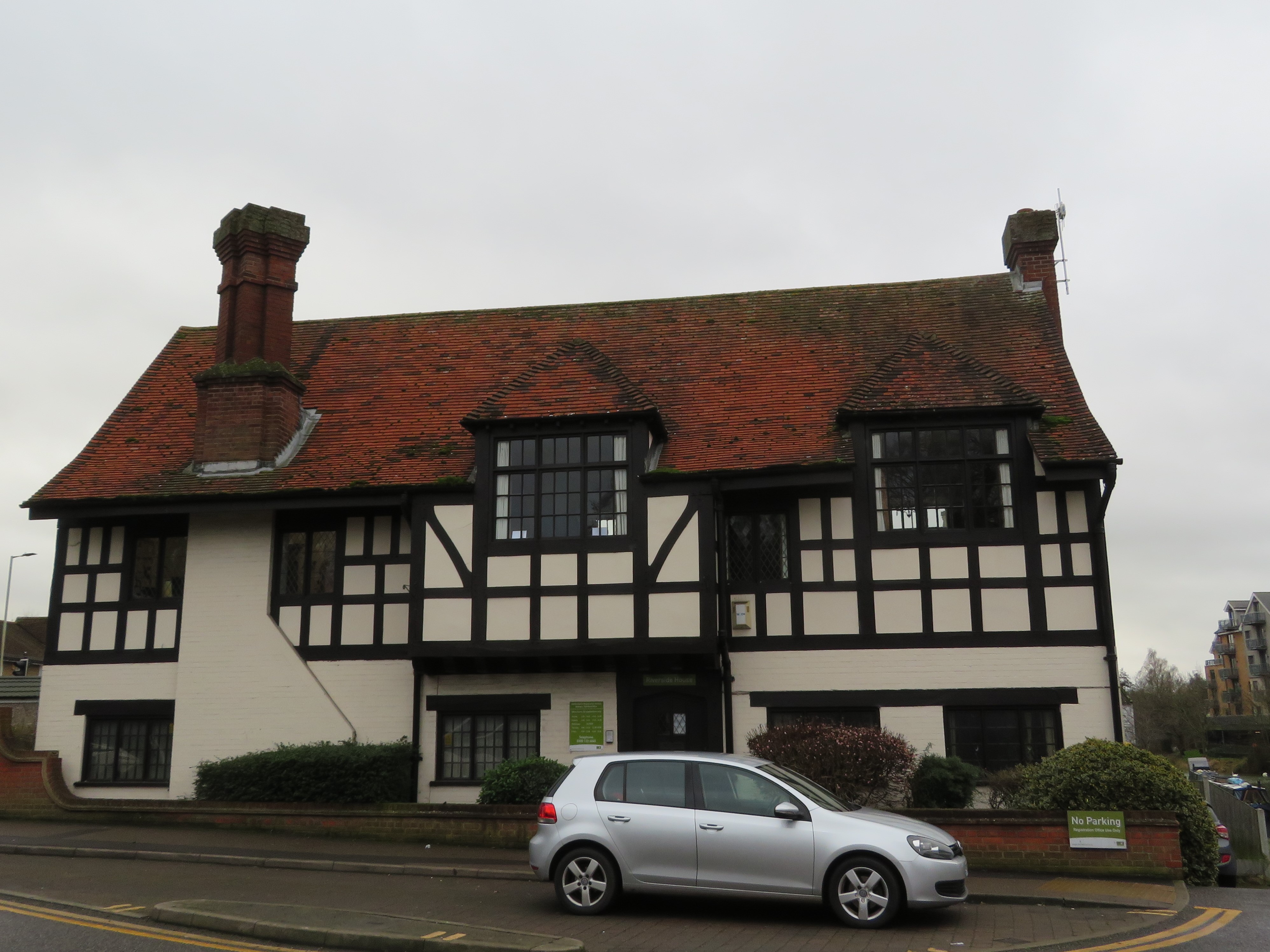
Hadham Cross Images

Images are sourced within 2km of 51.848133/0.067115 or Grid Reference TL4218. Thanks to Geograph Open Source API. All images are credited.

The Palace, Much Hadham - south elevation The site historically housed a residence of the Bishops of London. The present, early C16 house was sequestrated during the English Civil War but then reverted to the Bishop at the Restoration. It became a lunatic asylum in 1817 until it passed back to the Ecclesiastical Commissioners in 1868. It was sold as a private house in 1888 and after World War II became the home of Major Sir Edward Beddington-Behrens. The property is now divided into three separate dwellings. Taken from the nearby churchyard of St Andrew.
The Palace, Much Hadham - south elevation
The site historically housed a residence of the Bishops of London. The present, early C16 house was sequestrated during the English Civil War but then reverted to the Bishop at the Restoration. It became a lunatic asylum in 1817 until it passed back to the Ecclesiastical Commissioners in 1868. It was sold as a private house in 1888 and after World War II became the home of Major Sir Edward Beddington-Behrens. The property is now divided into three separate dwellings. Taken from the nearby churchyard of St Andrew.
St Andrew, Much Hadham - south-east elevation
St Andrew, Much Hadham - north-east elevation
St Andrew, Much Hadham - entrance from south porch The text above the door is from Ecclesiastes 5:1. In modern terms it exhorts you to watch your step and show appropriate respect.
St Andrew, Much Hadham - entrance from south porch
The text above the door is from Ecclesiastes 5:1. In modern terms it exhorts you to watch your step and show appropriate respect.
St Andrew, Much Hadham - exit from south porch The exhortation is taken from John 8:11 and was addressed by Christ to the woman taken in adultery. The rest of this part of the verse reads "Neither do I condemn thee. Go and sin no more".
St Andrew, Much Hadham - exit from south porch
The exhortation is taken from John 8:11 and was addressed by Christ to the woman taken in adultery. The rest of this part of the verse reads "Neither do I condemn thee. Go and sin no more".
St Andrew, Much Hadham - north aisle looking east
St Andrew, Much Hadham - south aisle looking west
Cottages in Church Lane, Much Hadham Like many of the others in the village these C16-17 cottages are Listed Buildings.
Cottages in Church Lane, Much Hadham
Like many of the others in the village these C16-17 cottages are Listed Buildings.
Downtown Green Tye Green Tye is a small hamlet comprising a public house and a few houses.
Downtown Green Tye
Green Tye is a small hamlet comprising a public house and a few houses.
North Leys, High Street, Much Hadham A Listed Building dating from c.1720.
North Leys, High Street, Much Hadham
A Listed Building dating from c.1720.
The Red House, High Street, Much Hadham A Listed Building dating from the early C18.
The Red House, High Street, Much Hadham
A Listed Building dating from the early C18.
Hill House, Tower Hill, Much Hadham A Listed Building dating from the mid-C19 and formerly The Barn School.
Hill House, Tower Hill, Much Hadham
A Listed Building dating from the mid-C19 and formerly The Barn School.
Footpath leading to Danebridge Road, Much Hadham The path makes a gentle descent through woodland from a grassy plateau in the valley of the River Ash.
Footpath leading to Danebridge Road, Much Hadham
The path makes a gentle descent through woodland from a grassy plateau in the valley of the River Ash.
Grassy plateau north-west of Green Tye The countryside hereabouts is characterised by flat terrains incised by streams which have created wooded mini-valleys.
Grassy plateau north-west of Green Tye
The countryside hereabouts is characterised by flat terrains incised by streams which have created wooded mini-valleys.
Grazing land at Bucklers Hall Farm, Perry Green
The Hoops Inn, Perry Green (2022) This is the rear view as seen from the green.
The Hoops Inn, Perry Green (2022)
This is the rear view as seen from the green.
Downtown Perry Green Perry Green's claim to fame is that the sculptor Henry Moore lived there between 1940-86 at Hoglands (just out of view to the left).
Downtown Perry Green
Perry Green's claim to fame is that the sculptor Henry Moore lived there between 1940-86 at Hoglands (just out of view to the left).
Hertfordshire Way footpath south of Much Hadham The watercourse seen here is the River Ash which flows parallel to the footpath through Mill Wood.
Hertfordshire Way footpath south of Much Hadham
The watercourse seen here is the River Ash which flows parallel to the footpath through Mill Wood.
Show me another place!

Hadham Cross is located at Grid Ref: TL4218 (Lat: 51.848133, Lng: 0.067115)

Administrative County: Hertfordshire

District: East Hertfordshire

Police Authority: Hertfordshire

What 3 Words

///degree.magma.verse. Near Much Hadham, Hertfordshire

Nearby Locations

Hadham Cross

Related Wikis

Moor Place, Hertfordshire

Moor Place is a country house within the civil parish of Much Hadham, in the East Hertfordshire district, in the county of Hertfordshire, England. It is...

Hadham railway station

Hadham railway station served the village of Much Hadham, Hertfordshire, England, from 1863 to 1965 on the Buntingford branch line. == History == The station...

Hadham Rural District

Hadham Rural District was a rural district in Hertfordshire, England from 1894 to 1935, covering an area in the east of the county. == Evolution == The...

Much Hadham

Much Hadham, formerly known as Great Hadham, is a village and civil parish in the district of East Hertfordshire, Hertfordshire, England. The parish of...

Nearby Amenities

Located within 500m of 51.848133,0.067115
Disused Amenity: pub
Disused Name: The Old Crown
Note: The pub is now a residence. http://www.learybrothers.co.uk/blogs-leary-brothers-ltd-oldcrownpub/
Lat/Long: 51.8473684/0.070136
Bus Stop
Broadfield Way
Bus: yes
Naptan AtcoCode: 210021303900
Naptan Bearing: N
Naptan CommonName: Broadfield Way
Naptan Crossing: Fire Station
Naptan Indicator: adj
Naptan Landmark: Fire Station
Naptan NaptanCode: hrtdtjpg
Naptan ShortCommonName: NA
Naptan Street: Tower Hill
Naptan Verified: no
Public Transport: platform
Source: naptan_import
Lat/Long: 51.8460493/0.0689916
Bus Stop
Almshouses
Bench: yes
Bin: yes
Bus: yes
Lit: yes
Naptan AtcoCode: 210021303920
Naptan Bearing: N
Naptan CommonName: Almshouses
Naptan Crossing: Almshouses
Naptan Indicator: opp
Naptan Landmark: Almshouses
Naptan NaptanCode: hrtdtjpj
Naptan ShortCommonName: NA
Naptan Street: Tower Hill
Naptan Verified: no
Public Transport: platform
Shelter: no
Source: naptan_import
Tactile Paving: no
Lat/Long: 51.850892/0.0712756
Bus Stop
Almshouses
Bench: no
Bin: no
Bus: yes
Lit: yes
Local Ref: NR
Naptan AtcoCode: 210021308960
Naptan Bearing: S
Naptan CommonName: Almshouses
Naptan Crossing: Almshouses
Naptan Indicator: nr
Naptan Landmark: Almshouses
Naptan NaptanCode: hrtdpmdw
Naptan ShortCommonName: NA
Naptan Street: Tower Hill
Naptan Verified: no
Public Transport: platform
Shelter: no
Source: naptan_import
Tactile Paving: no
Lat/Long: 51.8508533/0.0714337
Bus Stop
Ash Meadow
Bench: no
Bin: no
Bus: yes
Lit: no
Naptan AtcoCode: 210021308970
Naptan Bearing: S
Naptan CommonName: Ash Meadow
Naptan Crossing: Ash Meadow
Naptan Indicator: adj
Naptan Landmark: Ash Meadow
Naptan NaptanCode: hrtdpmga
Naptan ShortCommonName: NA
Naptan Street: Tower Hill
Naptan Verified: no
Public Transport: platform
Shelter: no
Source: naptan_import
Tactile Paving: no
Lat/Long: 51.8488785/0.0707186
Bus Stop
Broadfield Way
Bus: yes
Naptan AtcoCode: 210021308980
Naptan Bearing: S
Naptan CommonName: Broadfield Way
Naptan Crossing: opp Fire Station
Naptan Indicator: opp
Naptan Landmark: opp Fire Station
Naptan NaptanCode: hrtdpmgd
Naptan ShortCommonName: NA
Naptan Street: Tower Hill
Naptan Verified: no
Public Transport: platform
Source: naptan_import
Lat/Long: 51.846455/0.069424
Bus Stop
Station Road
Bench: no
Bin: no
Bus: yes
Lit: no
Naptan AtcoCode: 210021309000
Naptan Bearing: S
Naptan CommonName: Station Road
Naptan Crossing: Station Road
Naptan Indicator: opp
Naptan Landmark: Station Road
Naptan NaptanCode: hrtdpmgj
Naptan ShortCommonName: NA
Naptan Street: Widford Road
Naptan Verified: no
Public Transport: platform
Shelter: no
Source: naptan_import
Tactile Paving: no
Lat/Long: 51.8439799/0.0690564
Place Of Worship
Hadham Cross Congregational Church
Denomination: congregational
Religion: christian
Lat/Long: 51.8480572/0.070529
Post Box
Collection Times: Mo-Fr 16:45; Sa 12:00
Post Box Type: pillar
Ref: SG10 82
Royal Cypher: GVIR
Royal Cypher Wikidata: Q33102169
Lat/Long: 51.8482691/0.0704644
Post Box
Collection Times: Mo-Fr 09:00
Post Box Type: lamp
Ref: SG10 96
Royal Cypher: EIIR
Royal Cypher Wikidata: Q33102113
Lat/Long: 51.8437984/0.0654263
Power: pole
Lat/Long: 51.8475071/0.0614763
Material: wood
Power: pole
Lat/Long: 51.8478783/0.0670125
Material: wood
Power: pole
Lat/Long: 51.8479636/0.065611
Material: wood
Power: pole
Lat/Long: 51.8477888/0.0682248
Material: wood
Power: pole
Lat/Long: 51.8471608/0.060182
Barrier: kissing_gate
Foot: yes
Source: GPS
Lat/Long: 51.8474069/0.0633244
Barrier: kissing_gate
Foot: yes
Source: GPS
Lat/Long: 51.8486542/0.0651425
Barrier: cattle_grid
Lat/Long: 51.8517736/0.0691305
Barrier: kissing_gate
Foot: yes
Source: GPS
Lat/Long: 51.8485264/0.0650087
Hadham Cross
Place: hamlet
Lat/Long: 51.8476098/0.0678119
Direction: forward
Traffic Calming: yes
Lat/Long: 51.8457693/0.0690599
Barrier: kissing_gate
Lat/Long: 51.8471884/0.0724049
Barrier: swing_gate
Lat/Long: 51.8471658/0.0682602
Power: pole
Lat/Long: 51.8479704/0.0655033
Power: pole
Lat/Long: 51.8448574/0.0630695
Power: pole
Lat/Long: 51.8454026/0.0623721
Power: pole
Lat/Long: 51.8459312/0.061723
Power: pole
Lat/Long: 51.846478/0.0610363
Note: This pole has a transformer but no overhead lines!
Power: pole
Lat/Long: 51.8479324/0.0630125
Post Office
Much Hadham Post Office
Addr Postcode: SG10 6DF
Brand: Post Office
Brand Wikidata: Q1783168
Operator: Londis
Ref Pol Id: 2541
Source: OS OpenMap Local
Lat/Long: 51.8482613/0.070565
Public Bookcase
Book Box
Booth: K6
Covered: booth
Disused Amenity: telephone
Listed Status: Grade II
Man Made: telephone_box
Public Bookcase Type: phone_box
Lat/Long: 51.8508242/0.0712782
Defibrillator
Defibrillator Location: outside Much Hadham Fire Station, Tower Hill, Much Hadham
Emergency: defibrillator
Indoor: no
Lat/Long: 51.8481212/0.0701181
Phone
Emergency: phone
Indoor: no
Lat/Long: 51.848105/0.0701106
Booth: K6
Covered: booth
Disused Amenity: telephone
Man Made: telephone_box
Tourism: information
Lat/Long: 51.8437793/0.0654889
The data included in this document is from www.openstreetmap.org. The data is made available under ODbL.

Have you been to Hadham Cross?

Leave your review of Hadham Cross below (or comments, questions and feedback).