Black Pits Plain
Downs, Moorland in Somerset Somerset West and Taunton
England
Black Pits Plain
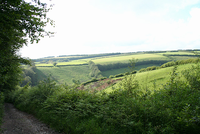
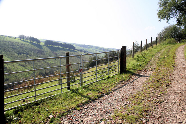
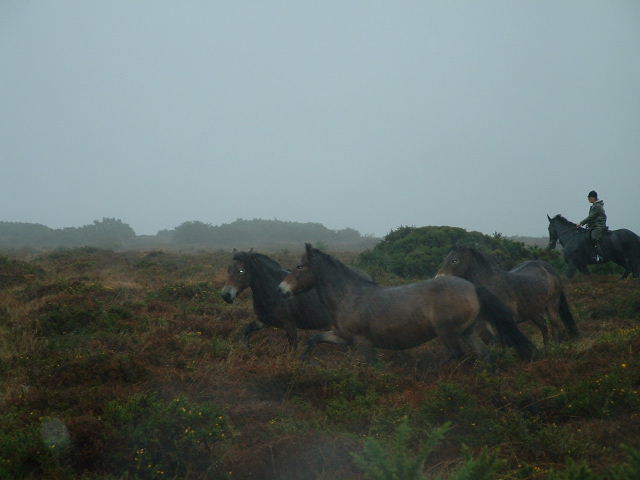
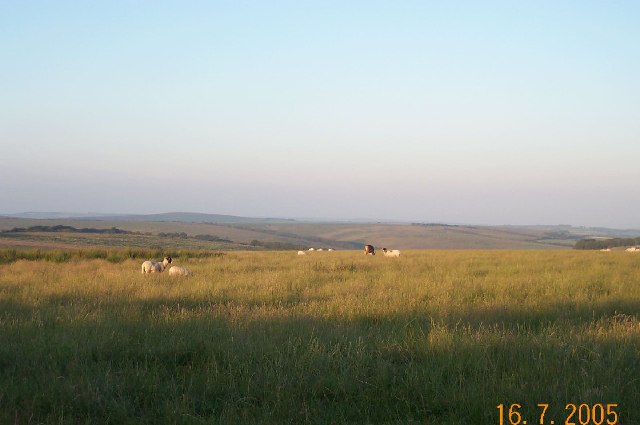
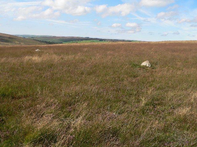
Black Pits Plain, Somerset, is a vast expanse of open land situated in the southwestern part of England. This area, often referred to as the "Somerset Downs" or "Moorland," is characterized by its flat and desolate terrain. Covering an area of approximately 100 square kilometers, Black Pits Plain is known for its unique and striking landscape.
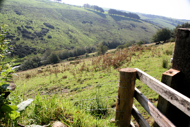
The plain is predominantly covered with peat, a type of soil formed by the accumulation of decaying organic matter over thousands of years. This peatland environment provides a habitat for a variety of plant and animal species that have adapted to the harsh conditions. Sparse vegetation, including heather and gorse, can be found scattered across the plain.
Black Pits Plain is situated at a relatively low altitude, with the highest point reaching around 150 meters above sea level. The area is crisscrossed by several small streams and ditches, which contribute to the overall drainage of the land.
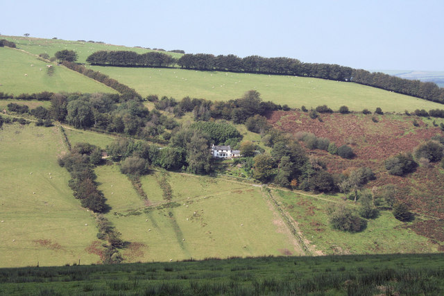
Due to its remote and isolated nature, Black Pits Plain has been relatively untouched by human activity. However, evidence of prehistoric settlements, such as burial mounds and stone circles, can still be found in the area, reflecting its long history of human habitation.
The plain is also home to a variety of bird species, including curlews, skylarks, and lapwings, making it a popular spot for birdwatching enthusiasts. Additionally, Black Pits Plain attracts hikers and nature lovers who appreciate the tranquil beauty of the moorland landscape.
Overall, Black Pits Plain, Somerset, offers a unique and captivating experience for those seeking to explore the natural wonders of the region. Its desolate beauty and untouched environment make it a truly special place in the heart of Somerset.
If you have any feedback on the listing, please let us know in the comments section below.
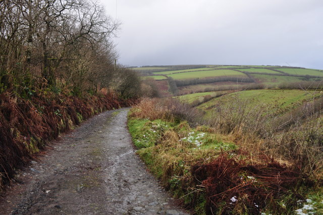
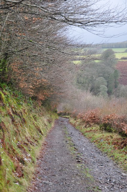
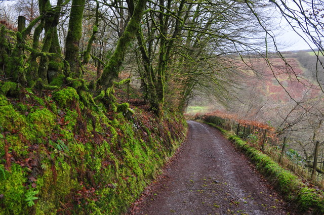
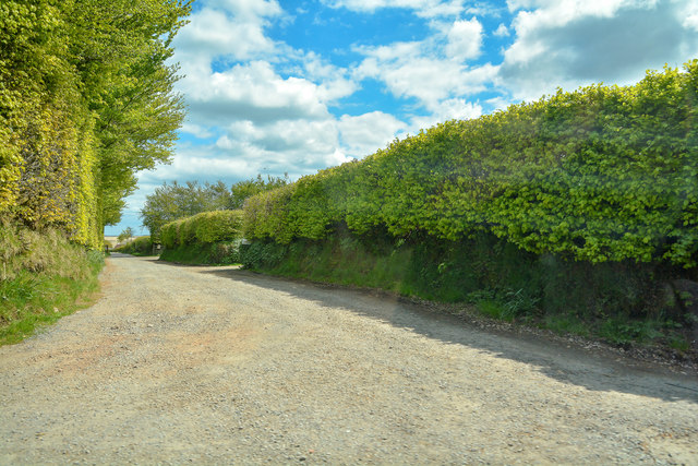
Black Pits Plain Images
Images are sourced within 2km of 51.09179/-3.6971419 or Grid Reference SS8133. Thanks to Geograph Open Source API. All images are credited.


Black Pits Plain is located at Grid Ref: SS8133 (Lat: 51.09179, Lng: -3.6971419)
Administrative County: Somerset
District: Somerset West and Taunton
Police Authority: Avon and Somerset
What 3 Words
///surfacing.blaring.survive. Near Dulverton, Somerset
Nearby Locations
Related Wikis
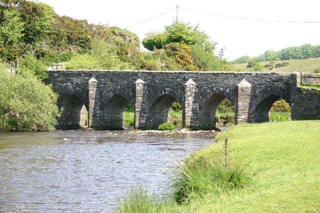
Landacre Bridge
Landacre Bridge carries Landacre Lane across the River Barle near Withypool on Exmoor in the English county of Somerset. It has been designated as a scheduled...
Withypool Stone Circle
Withypool Stone Circle, also known as Withypool Hill Stone Circle, is a stone circle located on the Exmoor moorland, near the village of Withypool in the...

Withypool Bridge
The Withypool Bridge is an arch bridge that carries a small road over the River Barle at Withypool in Somerset, England. It is a Grade II* listed building...
Withypool
Withypool (formerly Widepolle, Widipol, Withypoole) is a small village and former civil parish, now in the parish of Withypool and Hawkridge, in the Somerset...
Have you been to Black Pits Plain?
Leave your review of Black Pits Plain below (or comments, questions and feedback).