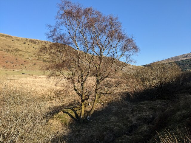
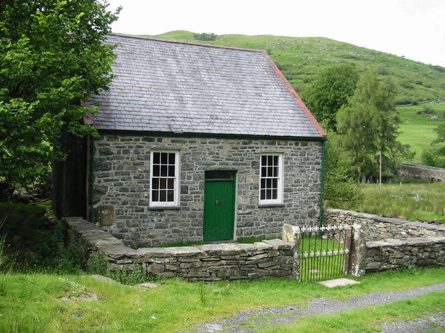
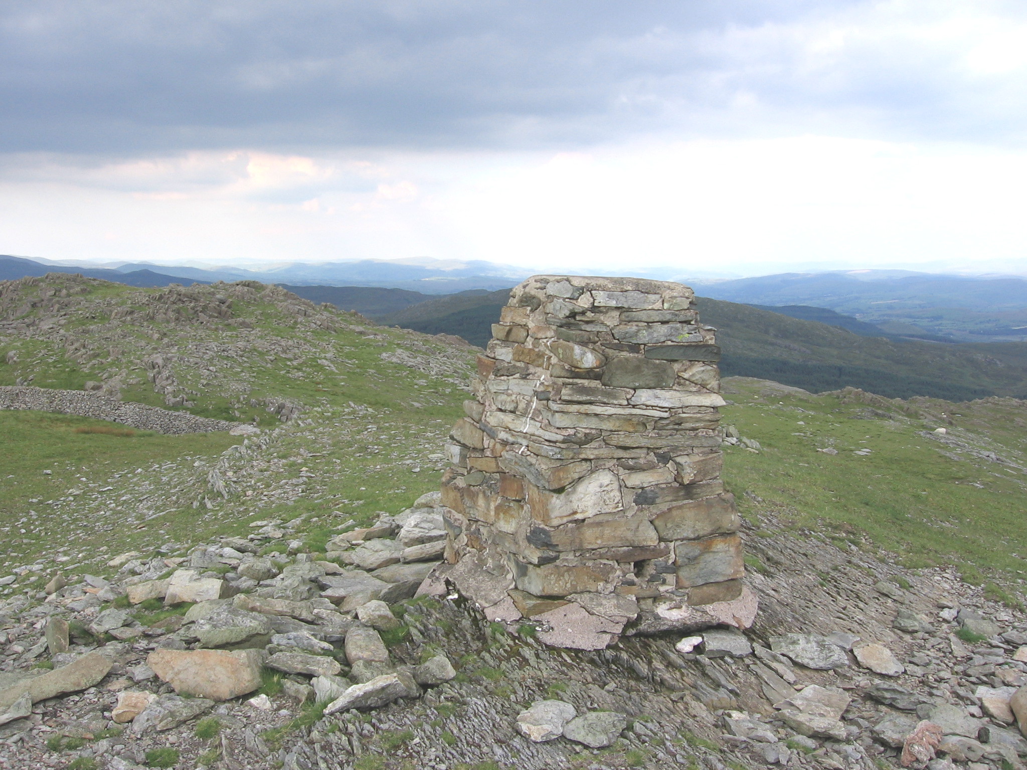
Ffridd Bach

Downs, Moorland in Merionethshire

Wales

Ffridd Bach

The bridge on the Cwm-hasgen track
The bridge on the Cwm-hasgen track Credit: David Medcalf

The requested URL returned error: 429 Too Many Requests

If you have any feedback on the listing, please let us know in the comments section below.

Ffridd Bach Images

Images are sourced within 2km of 52.846771/-3.7739397 or Grid Reference SH8029. Thanks to Geograph Open Source API. All images are credited.

The bridge on the Cwm-hasgen track
A small wood next to the Afon Mawddach It must be a protected spot as not many seedlings survive the ubiquitous sheep.
A small wood next to the Afon Mawddach
It must be a protected spot as not many seedlings survive the ubiquitous sheep.
A gate on the Dol-cyn-afon track
The waterfall near Dol-cyn-afon See also: <a title="https://www.geograph.org.uk/photo/445186" href="https://www.geograph.org.uk/photo/445186">Link</a>
The waterfall near Dol-cyn-afon
See also: Link
A tranquil pool on the Mawddach Next to Dol-cyn-afon house. A few years ago the house was being 'restored', but that effort seems to have been abandoned.
A tranquil pool on the Mawddach
Next to Dol-cyn-afon house. A few years ago the house was being 'restored', but that effort seems to have been abandoned.
Cerrig yr Iwrch Golygfa ar hyd Cerrig yr Iwrch i'r Dduallt / A view along Cerrig yr Iwrch to Y Dduallt.
Cerrig yr Iwrch
Golygfa ar hyd Cerrig yr Iwrch i'r Dduallt / A view along Cerrig yr Iwrch to Y Dduallt.
Waun y Griafolen Golygfa dros Waun y Griafolen sef cors enfawr lle mae tarddiad Afon Mawddach / A view across Waun y Griafolen where the source of the Afon Mawddach is.
Waun y Griafolen
Golygfa dros Waun y Griafolen sef cors enfawr lle mae tarddiad Afon Mawddach / A view across Waun y Griafolen where the source of the Afon Mawddach is.
Waun y Griafolen Golygfa dros ran o Waun y Griafolen tuag at Y Dduallt / A view over part of Waun y Griafolen towards Dduallt.
Waun y Griafolen
Golygfa dros ran o Waun y Griafolen tuag at Y Dduallt / A view over part of Waun y Griafolen towards Dduallt.
Ar Waun y Griafolen / On Waun y Griafolen Golygfa dros gorsdir gwylb iawn tuag at Moel Llyfnant ac Arenig Fawr / A view across a very wet bog towards Moel Llyfnant and Arenig Fawr.
Ar Waun y Griafolen / On Waun y Griafolen
Golygfa dros gorsdir gwylb iawn tuag at Moel Llyfnant ac Arenig Fawr / A view across a very wet bog towards Moel Llyfnant and Arenig Fawr.
Fforest Penaran Forest Mae'r map yn dangos fforest ond mae'r coed wedi cael eu cwympo a fydd na ddim ail-blannu er mwyn adfer y gors a'r mawn / The map shows forest but the trees have been felled and won't be replanted in order to restore the bog and peat.
Fforest Penaran Forest
Mae'r map yn dangos fforest ond mae'r coed wedi cael eu cwympo a fydd na ddim ail-blannu er mwyn adfer y gors a'r mawn / The map shows forest but the trees have been felled and won't be replanted in order to restore the bog and peat.
Cefn Glas Copa bryn yng nghanol y fforest / Hill top in the middle of the forest.
Cefn Glas
Copa bryn yng nghanol y fforest / Hill top in the middle of the forest.
More storm damage The westerly winds of winter 2014 wreaked havoc on the exposed side of the forest.
More storm damage
The westerly winds of winter 2014 wreaked havoc on the exposed side of the forest.
Erosion on the track
Tributary of the Mawddach Looking towards the Mawddach valley.
Tributary of the Mawddach
Looking towards the Mawddach valley.
Cleared forest, rough track
Braich y Dduallt Cerddwyr yn mynd i gyfeiriad Dduallt, y fan uchel yn y pellter.

Walkers heading in the direction of Dduallt (trans. black hill), the peak in the distance.
Braich y Dduallt
Cerddwyr yn mynd i gyfeiriad Dduallt, y fan uchel yn y pellter. Walkers heading in the direction of Dduallt (trans. black hill), the peak in the distance.
Where the Nant yr Helyg joins the Mawddach
Show me another place!

Ffridd Bach is located at Grid Ref: SH8029 (Lat: 52.846771, Lng: -3.7739397)

Unitary Authority: Gwynedd

Police Authority: North Wales

What 3 Words

///packets.approvals.spilled. Near Llanuwchllyn, Gwynedd

Nearby Locations

Ffridd Bach

Related Wikis

Afon Mawddach

The Afon Mawddach (English: River Mawddach) is a river in Gwynedd, Wales, which has its source in a wide area SH820300 north of Dduallt in Snowdonia. It...

Dduallt

Dduallt (English: Black hill) (pronounced [ðɨ.æɬt]) is a mountain in central Snowdonia, north Wales. It is the sister peak of Rhobell Fawr. It lies north...

Abergeirw

Abergeirw is a hamlet located in Gwynedd, North Wales. The village of nine properties is located between Dolgellau and Trawsfynydd. On 19 December 2008...

Rhobell Fawr

Rhobell Fawr is the site of an ancient volcano that was active during the Early Ordovician period in the Arenig range within the Snowdonia National Park...

Nearby Amenities

Located within 500m of 52.846771,-3.7739397
Ford: yes
Lat/Long: 52.8464921/-3.7708543
Rhyd y Re (ford)
Place: locality
Lat/Long: 52.8470344/-3.7692139
The data included in this document is from www.openstreetmap.org. The data is made available under ODbL.

Have you been to Ffridd Bach?

Leave your review of Ffridd Bach below (or comments, questions and feedback).