Newhouse Moor

Downs, Moorland in Devon North Devon

England

Newhouse Moor

Witheridge : Road A small road in the countryside.
Witheridge : Road Credit: Lewis Clarke

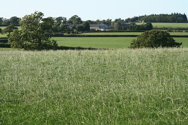
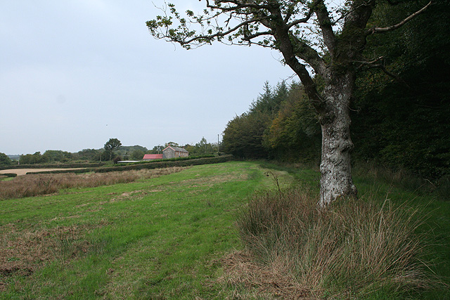
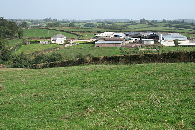
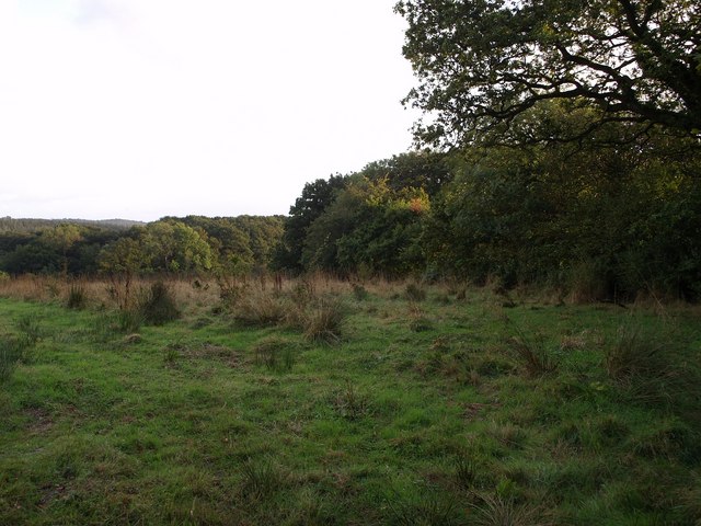
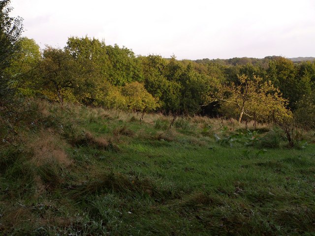
Newhouse Moor is a picturesque area located in Devon, England. Situated in the heart of the county, it offers breathtaking views of the surrounding landscape. The moorland stretches over a vast area, covering rolling hills and open grasslands, making it a popular destination for nature enthusiasts and hikers.

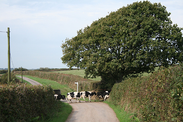
The moorland is characterized by its diverse flora and fauna, with heather, gorse, and grasses dominating the landscape. This creates a vibrant and colorful scene, especially during the summer months when the moorland is in full bloom. The area is also home to a wide range of wildlife, including birds such as skylarks and stonechats, and mammals like rabbits and foxes.

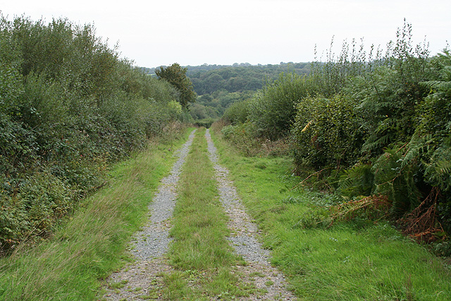
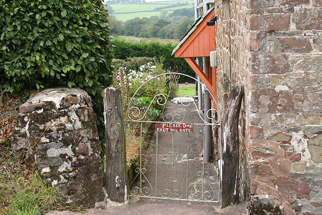
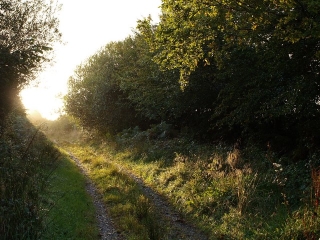
Newhouse Moor offers numerous walking trails, allowing visitors to explore its beauty at their own pace. These trails vary in difficulty, catering to both beginners and experienced hikers. The paths wind through the moorland, leading to viewpoints that offer stunning panoramic views of the surrounding countryside.

The moorland is also a great spot for picnics and outdoor activities. Visitors can relax and enjoy a meal amidst the peaceful atmosphere, surrounded by the sights and sounds of nature. Additionally, Newhouse Moor is a popular location for birdwatching, with many rare species being spotted in the area.

Overall, Newhouse Moor is a must-visit destination for nature lovers and those seeking tranquility. Its breathtaking views, diverse wildlife, and peaceful ambiance make it a true gem in the Devon countryside.

If you have any feedback on the listing, please let us know in the comments section below.

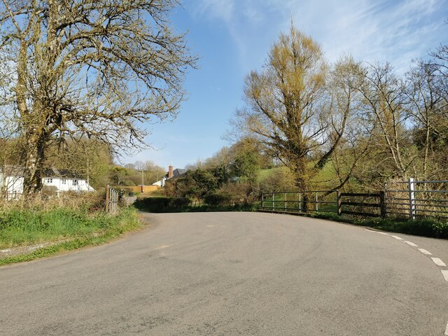
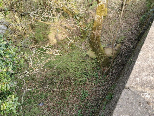
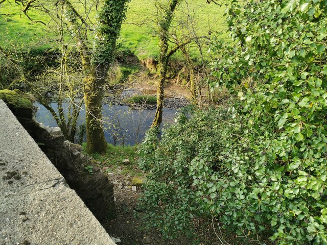
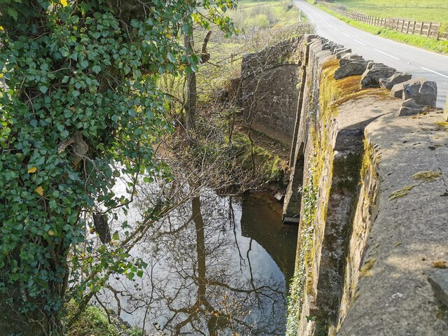
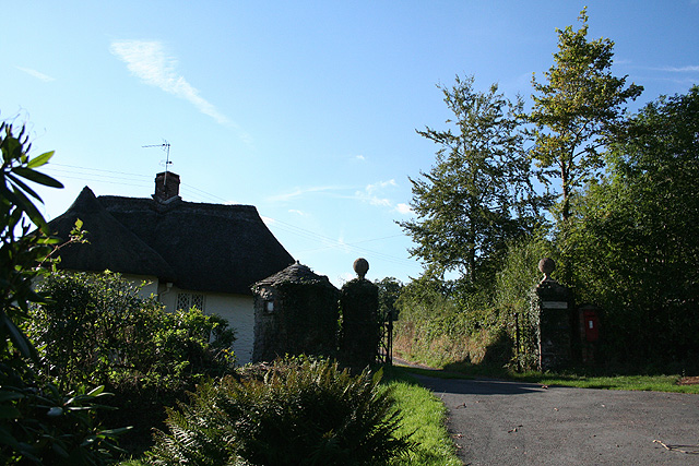
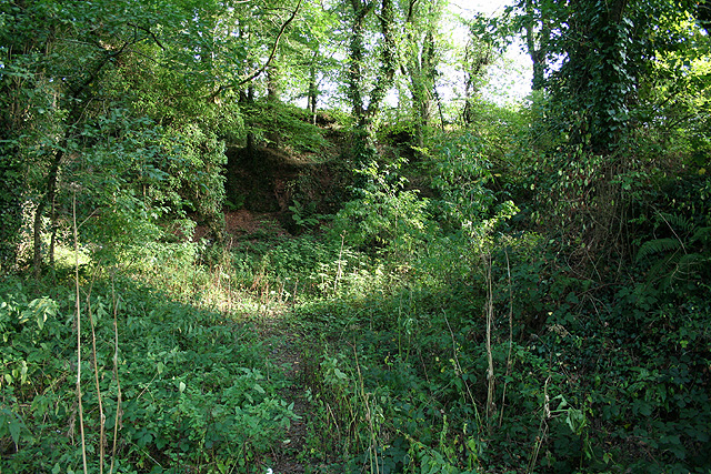
Newhouse Moor Images

Images are sourced within 2km of 50.938367/-3.7059099 or Grid Reference SS8016. Thanks to Geograph Open Source API. All images are credited.

Witheridge : Road A small road in the countryside.
Witheridge : Road
A small road in the countryside.
Witheridge : Grassland Looking down off the B3171.
Witheridge : Grassland
Looking down off the B3171.
Witheridge : Little Dart River The river heads under New Bridge.
Witheridge : Little Dart River
The river heads under New Bridge.
Witheridge : Little Dart River The Litter Dart River at New Bridge.
Witheridge : Little Dart River
The Litter Dart River at New Bridge.
Witheridge: entrance to Bradford Tracy Looking north west by an entrance lodge to the estate
Witheridge: entrance to Bradford Tracy
Looking north west by an entrance lodge to the estate
Witheridge: near Witheridge Mill A probable quarry site looking south-south-east. Seen from a public footpath; a second footpath promoted by DEFRA runs above the old quarry face. A private house now stands on the Witheridge Mill site. The lower footpath runs alongside the course of the mill leat, now dry
Witheridge: near Witheridge Mill
A probable quarry site looking south-south-east. Seen from a public footpath; a second footpath promoted by DEFRA runs above the old quarry face. A private house now stands on the Witheridge Mill site. The lower footpath runs alongside the course of the mill leat, now dry
Witheridge: towards Broadridge Farm Looking north-north-west
Witheridge: towards Broadridge Farm
Looking north-north-west
Creacombe: near Crowdhole Looking west-south-west along an access track heading towards Monkey Moor.
Creacombe: near Crowdhole
Looking west-south-west along an access track heading towards Monkey Moor.
Witheridge: Two Moors Way Looking east-north-east towards Bradford Moor House
Witheridge: Two Moors Way
Looking east-north-east towards Bradford Moor House
Witheridge: Bradford Moor House Looking west by the gate
Witheridge: Bradford Moor House
Looking west by the gate
Witheridge: towards North Coombe Looking east by the road from Crowdhole Cross to Bradford Barton
Witheridge: towards North Coombe
Looking east by the road from Crowdhole Cross to Bradford Barton
Creacombe: herd at Crowdhole Cross Looking north-north-west on the lane to Creacombemoor Cross; a left turn leads to Ditchett Cross
Creacombe: herd at Crowdhole Cross
Looking north-north-west on the lane to Creacombemoor Cross; a left turn leads to Ditchett Cross
Witheridge: Bradford Mill This ceased to be a working watermill in the 1930s. The watermill has since become part of a private residence, seen here from the adjoining road. Henry Blackford was miller in the period 1893 - 1906 and William Roberts was listed as miller in 1926; he may well have been the last of the line. Looking south west
Witheridge: Bradford Mill
This ceased to be a working watermill in the 1930s. The watermill has since become part of a private residence, seen here from the adjoining road. Henry Blackford was miller in the period 1893 - 1906 and William Roberts was listed as miller in 1926; he may well have been the last of the line. Looking south west
Field by Grendon Lane North Grendon Plantation is on the right. Taken from Grendon Lane, a green lane across the Sturcombe River valley.
Field by Grendon Lane
North Grendon Plantation is on the right. Taken from Grendon Lane, a green lane across the Sturcombe River valley.
Track near Maire A field access track off the no through lane to Maire, which comes to an end when it reaches the field boundary with the oak trees. Moorpark Copse is the wood glimpsed on the left ahead.
Track near Maire
A field access track off the no through lane to Maire, which comes to an end when it reaches the field boundary with the oak trees. Moorpark Copse is the wood glimpsed on the left ahead.
Orchard at North Grendon An orchard beside the farm buildings at North Grendon, which no longer seem to be inhabited.
Orchard at North Grendon
An orchard beside the farm buildings at North Grendon, which no longer seem to be inhabited.
Grendon Lane A rather damp lane brightens up in some evening sunshine. This long track leads from the nearest public road at Crowdhole for almost a kilometre to reach North Grendon.
Grendon Lane
A rather damp lane brightens up in some evening sunshine. This long track leads from the nearest public road at Crowdhole for almost a kilometre to reach North Grendon.
Field beside Grendon Lane The lane runs behind the hedge on the left; <a href="https://www.geograph.org.uk/photo/570696">SS8017 : Grendon Lane</a> was taken in that section. Beyond, the land slopes down to the Sturcombe River.
Field beside Grendon Lane
The lane runs behind the hedge on the left; SS8017 : Grendon Lane was taken in that section. Beyond, the land slopes down to the Sturcombe River.
Show me another place!

Newhouse Moor is located at Grid Ref: SS8016 (Lat: 50.938367, Lng: -3.7059099)

Administrative County: Devon

District: North Devon

Police Authority: Devon and Cornwall

What 3 Words

///betrayal.positions.slimy. Near Witheridge, Devon

Nearby Locations

Newhouse Moor Chance Moor

Related Wikis

Nearby Amenities

Located within 500m of 50.938367,-3.7059099
Barrier: yes
Lat/Long: 50.9396251/-3.7106151
Power: pole
Source: bing
Lat/Long: 50.9408971/-3.7115323
Power: pole
Source: bing
Lat/Long: 50.9405431/-3.7105376
Power: pole
Source: bing
Lat/Long: 50.9395687/-3.7021885
Power: pole
Source: bing
Lat/Long: 50.9396944/-3.7036599
Power: pole
Source: bing
Lat/Long: 50.9398257/-3.7051622
Power: pole
Source: bing
Lat/Long: 50.939957/-3.7066733
Power: pole
Source: bing
Lat/Long: 50.9400836/-3.7081316
Power: pole
Source: bing
Lat/Long: 50.9402103/-3.7096339
Power: pole
Source: bing
Transformer: distribution
Lat/Long: 50.9390944/-3.6998661
Power: pole
Source: bing
Lat/Long: 50.9394541/-3.7008358
Power: pole
Source: bing
Lat/Long: 50.9401678/-3.7009678
Power: pole
Source: bing
Lat/Long: 50.9407705/-3.7010999
Power: pole
Source: bing
Lat/Long: 50.9417726/-3.7013214
The data included in this document is from www.openstreetmap.org. The data is made available under ODbL.

Have you been to Newhouse Moor?

Leave your review of Newhouse Moor below (or comments, questions and feedback).