Muckford Moors

Downs, Moorland in Devon North Devon

England

Muckford Moors

Bishop’s Nympton: entrance to Kipscott Barton Looking north towards the Yeo valley with Exmoor beyond
Bishop’s Nympton: entrance to Kipscott Barton Credit: Martin Bodman

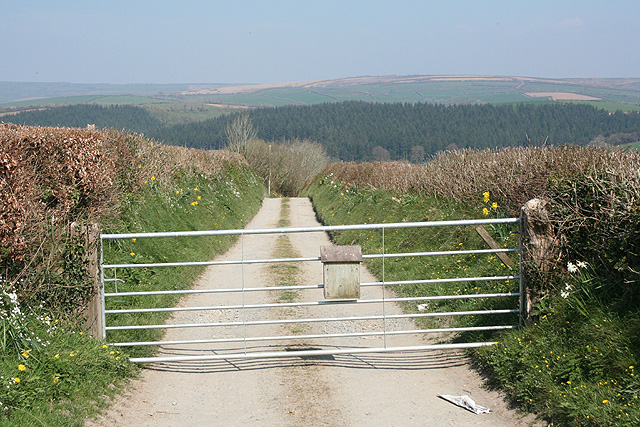
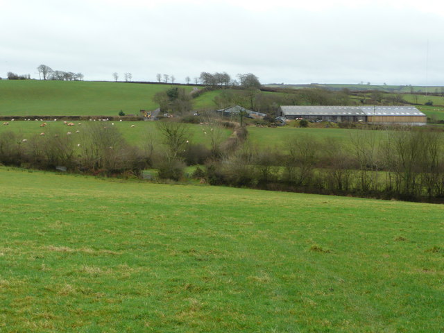
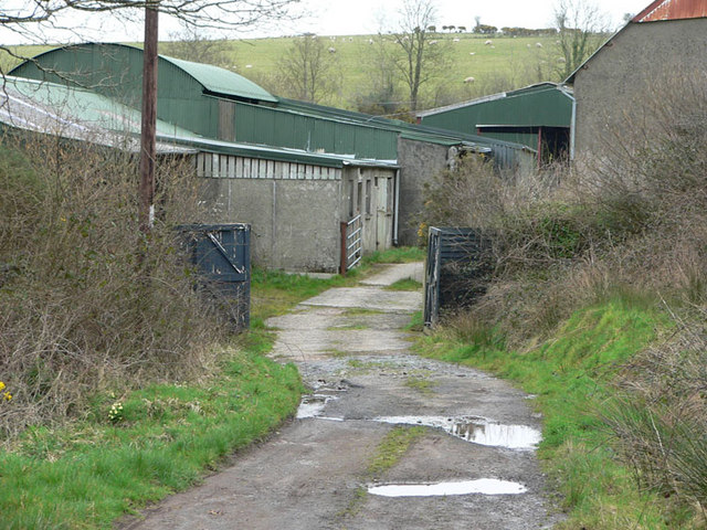
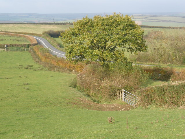
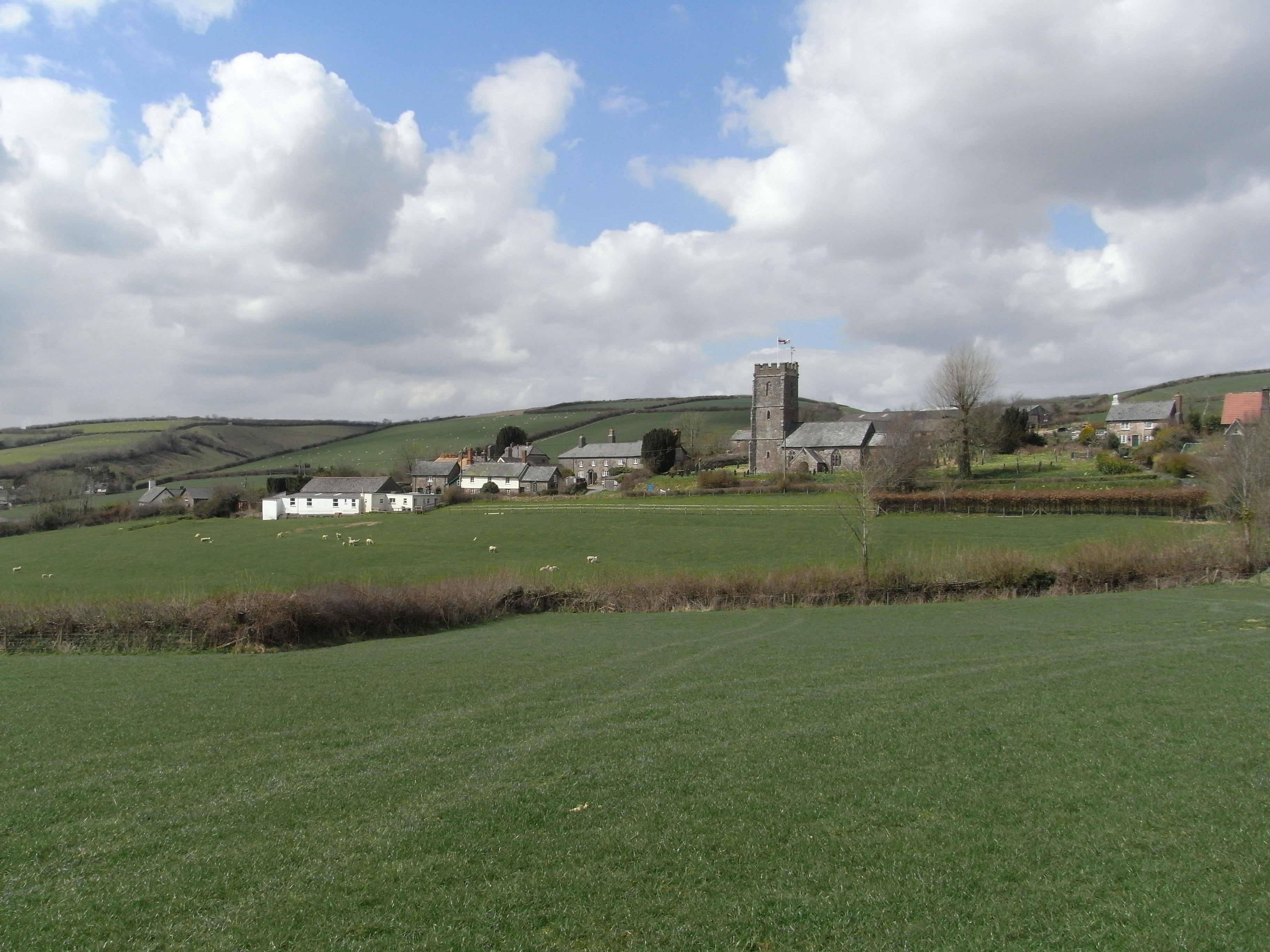
Muckford Moors is a picturesque area located in the county of Devon, England. Situated on the southern edge of Dartmoor National Park, Muckford Moors is known for its stunning natural beauty and diverse wildlife. Covering an expansive area of downs and moorland, it attracts both nature enthusiasts and outdoor adventurers alike.

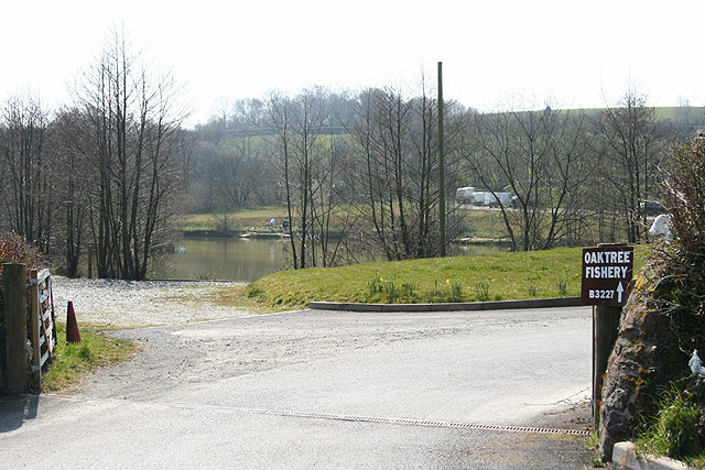
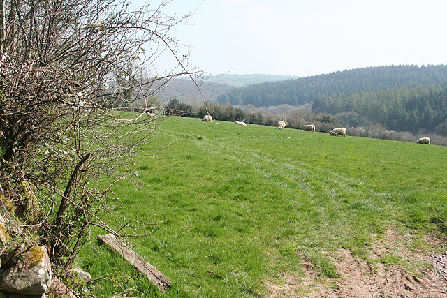
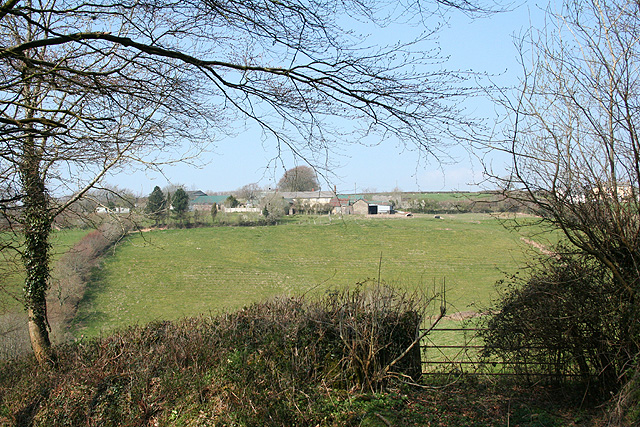
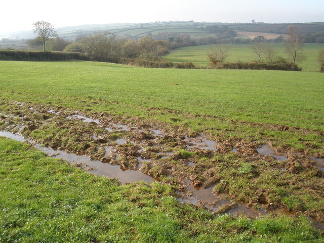
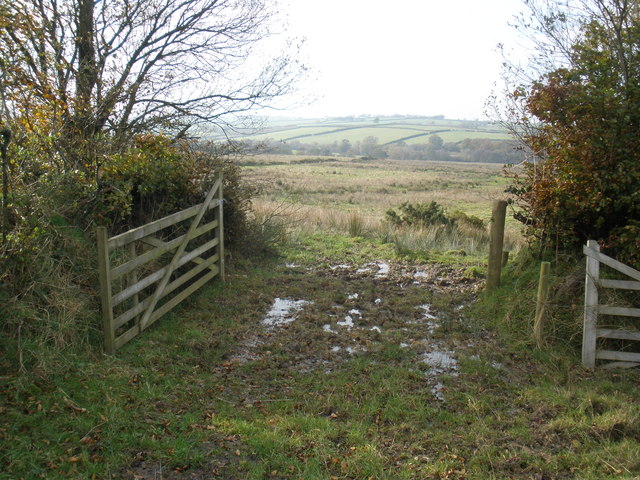
The moors are characterized by vast open spaces, rolling hills, and heather-clad landscapes. The area is crisscrossed by a network of footpaths and trails, providing ample opportunities for hiking, walking, and cycling. Muckford Moors offers breathtaking views of the surrounding countryside, with its rugged terrain and dramatic skyline.

The moorland is home to a rich variety of flora and fauna, including rare species such as the Dartmoor pony and the cuckoo flower. Birdwatchers flock to Muckford Moors to catch a glimpse of the elusive stonechat, skylark, and peregrine falcon. The area also boasts several nature reserves, ensuring the preservation of its unique ecosystem.

For those interested in history and archaeology, Muckford Moors offers a fascinating insight into the region's past. The moors are scattered with ancient stone circles, burial mounds, and remnants of Bronze Age settlements. Visitors can explore these historic sites and learn about the area's rich cultural heritage.

In addition to its natural and historical attractions, Muckford Moors provides a peaceful and tranquil setting for visitors to escape the hustle and bustle of everyday life. With its unspoiled landscapes, diverse wildlife, and a sense of serenity, Muckford Moors is a true gem in the heart of Devon.

If you have any feedback on the listing, please let us know in the comments section below.

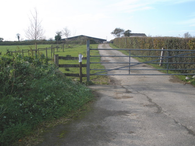
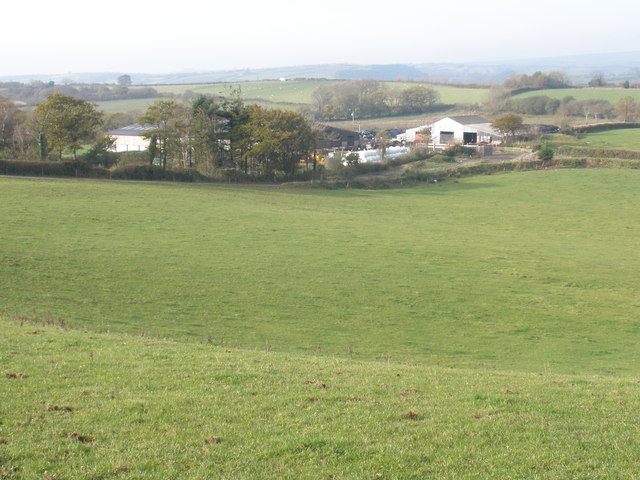
Muckford Moors Images

Images are sourced within 2km of 51.010872/-3.7167806 or Grid Reference SS7924. Thanks to Geograph Open Source API. All images are credited.

Bishop’s Nympton: entrance to Kipscott Barton Looking north towards the Yeo valley with Exmoor beyond
Bishop’s Nympton: entrance to Kipscott Barton
Looking north towards the Yeo valley with Exmoor beyond
Bishop’s Nympton: entrance to Oaktree Fishery Developed, it appears, since 1990 – not featured on the 1: 25000 O/S map of that vintage – the proprietors here offer bed and breakfast in addition to fishing. Looking south opposite the entrance to Bullaford
Bishop’s Nympton: entrance to Oaktree Fishery
Developed, it appears, since 1990 – not featured on the 1: 25000 O/S map of that vintage – the proprietors here offer bed and breakfast in addition to fishing. Looking south opposite the entrance to Bullaford
Knowstone: near West Crosside Looking east-south-east over the Crooked Oak valley
Knowstone: near West Crosside
Looking east-south-east over the Crooked Oak valley
Knowstone: towards West Welland Looking north west. East Welland is hidden by the bush on the right
Knowstone: towards West Welland
Looking north west. East Welland is hidden by the bush on the right
Farm buildings on Wester Bullaford Moor View south of the B3227.
Farm buildings on Wester Bullaford Moor
View south of the B3227.
Ford Farm North of Cross Side, near to Paul's Moor there are no obvious signs of animals here. A lot of farms are recovering from foot and mouth which affected this area badly.  There were/are plans to position 9 wind turbines on Pauls Moor which might inflict "light flickering" on this farm.
Ford Farm
North of Cross Side, near to Paul's Moor there are no obvious signs of animals here. A lot of farms are recovering from foot and mouth which affected this area badly. There were/are plans to position 9 wind turbines on Pauls Moor which might inflict "light flickering" on this farm.
Communications mast, on Bullaford Moor
The B3227, seen from Bullaford Moor
Farm entrance, Wester Bullaford
Pasture land, on Bullaford Moor
Sodden pasture, on Bullaford Moor
Gateway to Paul's Moor
Road into Ashill, Northern side of village
The old station, Bishops Nympton and Molland On the old, now lifted, Taunton to Barnstaple GWR branch
The old station, Bishops Nympton and Molland
On the old, now lifted, Taunton to Barnstaple GWR branch
Bishop’s Nympton: near Combsland Cross Looking west towards South Molton, its church tower almost on the skyline
Bishop’s Nympton: near Combsland Cross
Looking west towards South Molton, its church tower almost on the skyline
Bishop’s Nympton: Combsland New Cross The Audi is turning off the old Wiveliscombe-Bampton-South Molton turnpike and heading north towards Twitchen and Molland. Looking north east
Bishop’s Nympton: Combsland New Cross
The Audi is turning off the old Wiveliscombe-Bampton-South Molton turnpike and heading north towards Twitchen and Molland. Looking north east
Bishop’s Nympton: nearing South Port Neighbouring farms are East Port, Middle Port and West Port, perhaps parts of an earlier estate. Looking west-north-west on the lane to Combsland New Cross. The public footpath links South Port, East Port and Little Kerscott
Bishop’s Nympton: nearing South Port
Neighbouring farms are East Port, Middle Port and West Port, perhaps parts of an earlier estate. Looking west-north-west on the lane to Combsland New Cross. The public footpath links South Port, East Port and Little Kerscott
Bishop’s Nympton: towards the B3227 The road was built as a 19th century turnpike linking Bampton with South Molton. It was once the A361 but has since been downgraded from that designation following the opening of the North Devon Link Road from the M5 Motorway to Barnstaple. The old turnpike route runs parallel with and south of the river Yeo, keeping to the high ground
Bishop’s Nympton: towards the B3227
The road was built as a 19th century turnpike linking Bampton with South Molton. It was once the A361 but has since been downgraded from that designation following the opening of the North Devon Link Road from the M5 Motorway to Barnstaple. The old turnpike route runs parallel with and south of the river Yeo, keeping to the high ground
Show me another place!

Muckford Moors is located at Grid Ref: SS7924 (Lat: 51.010872, Lng: -3.7167806)

Administrative County: Devon

District: North Devon

Police Authority: Devon and Cornwall

What 3 Words

///hourglass.forecast.girder. Near South Molton, Devon

Related Wikis

Ash Mill

Ash Mill is a village in Devon, England.Ashmill was the site of Ashwater station on the former L.S.W.R. North Cornwall line which closed in the 1960s....

Rose Ash

Rose Ash, formerly Ralph-Esse, is a village and civil parish in North Devon district, Devon, England. In the 2011 census it was recorded as having a population...

Molland

Molland is a small village, civil parish, dual ecclesiastical parish with Knowstone, located in the foothills of Exmoor in Devon, England. It lies within...

Knowstone

Knowstone is a village and civil parish situated in the North Devon district of Devon, England, halfway between the Mid Devon town of Tiverton, Devon and...

Nearby Amenities

Located within 500m of 51.010872,-3.7167806
The data included in this document is from www.openstreetmap.org. The data is made available under ODbL.

Have you been to Muckford Moors?

Leave your review of Muckford Moors below (or comments, questions and feedback).