Haddington

Settlement in Lincolnshire North Kesteven

England

Haddington

Blackmoor Road near Aubourn Heading west towards Aubourn.
Blackmoor Road near Aubourn Credit: Stephen Richards

Haddington is a small village located in the East Lindsey district of Lincolnshire, England. Situated about 4 miles north of the town of Louth, it is nestled in the picturesque Lincolnshire Wolds, an Area of Outstanding Natural Beauty.

The village of Haddington dates back to medieval times and has a rich history. It is known for its charming, traditional stone cottages and historic buildings, including the Grade II listed St. Nicholas Church, which dates back to the 12th century. The church's distinctive tower is a prominent feature of the village skyline.

Despite its small size, Haddington has a close-knit community and offers a range of amenities. These include a village hall, a primary school, and a local pub, providing a hub for social gatherings and events. The surrounding countryside offers ample opportunities for outdoor activities, such as walking, cycling, and horse riding.

Haddington is well-positioned for exploring the wider area. The nearby town of Louth offers a wider range of amenities, including shops, supermarkets, and secondary schools. The coastal town of Mablethorpe is also within reach, providing access to beautiful sandy beaches and seaside attractions.

Overall, Haddington is a tranquil and picturesque village, perfect for those seeking a peaceful rural lifestyle. Its historical charm, community spirit, and proximity to natural beauty make it an attractive place to live or visit in Lincolnshire.

If you have any feedback on the listing, please let us know in the comments section below.
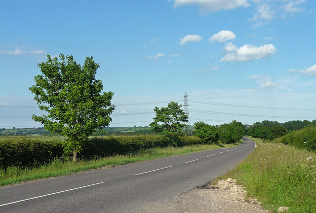
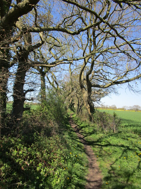
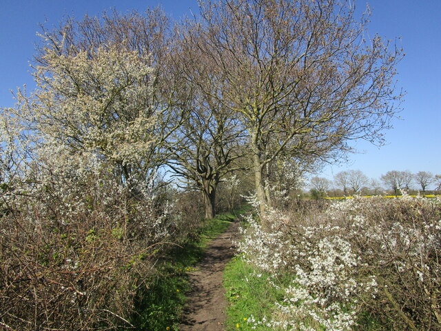
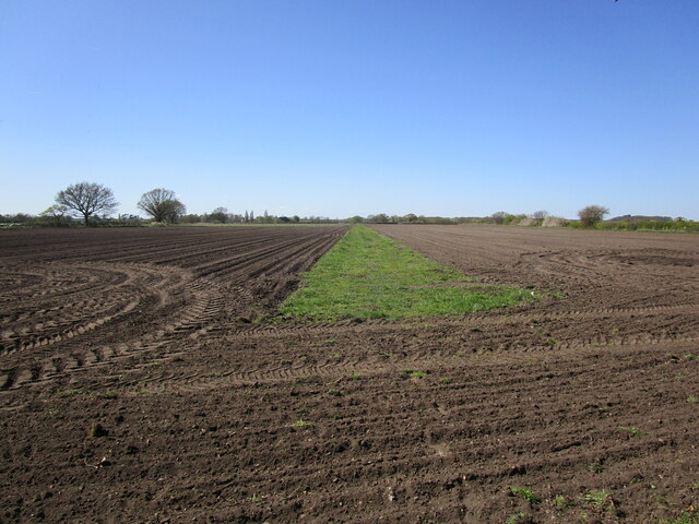
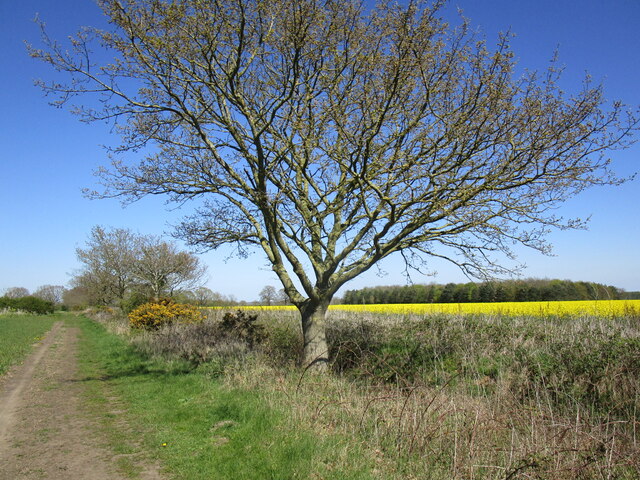
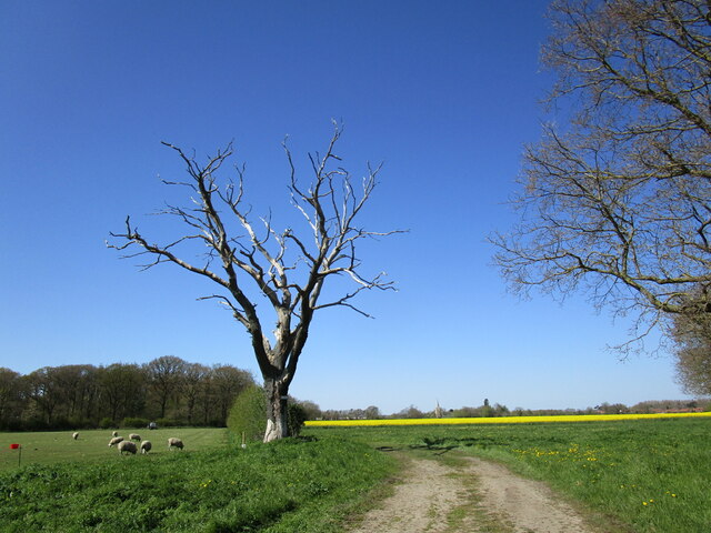
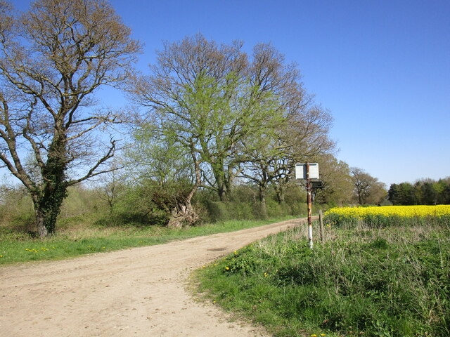
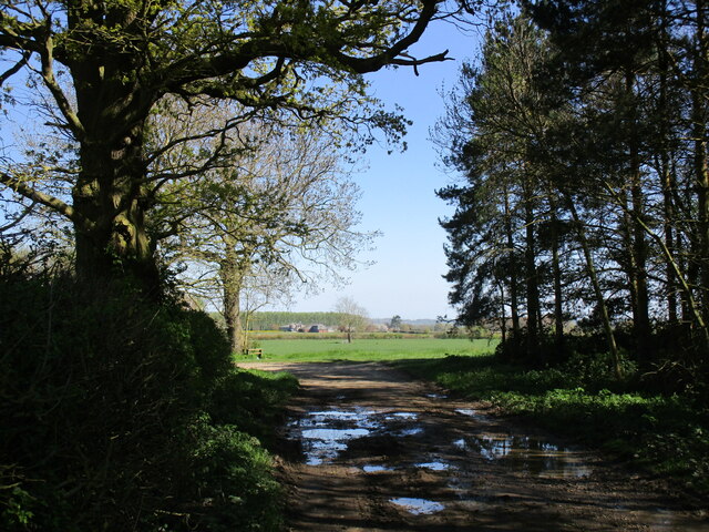
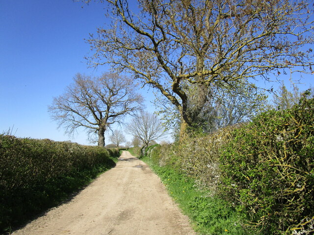
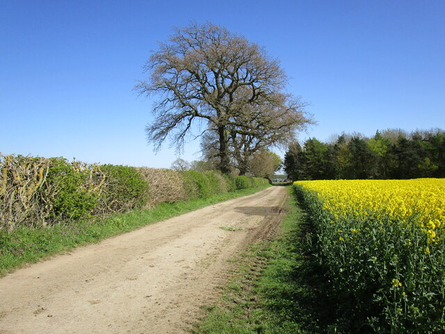
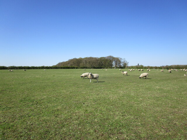
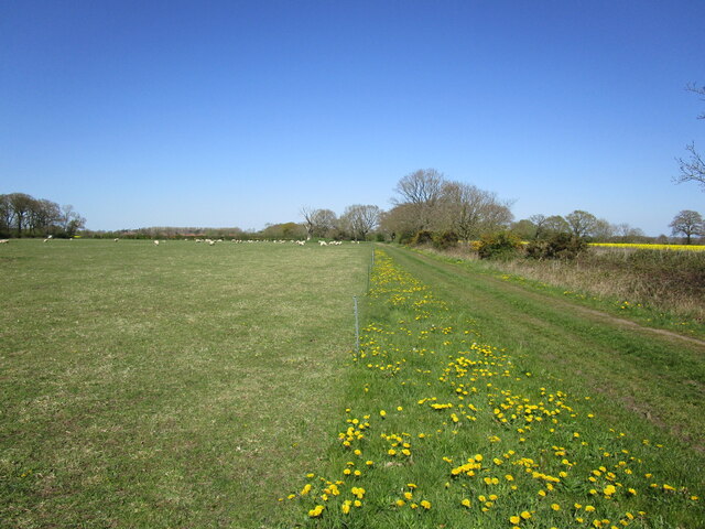
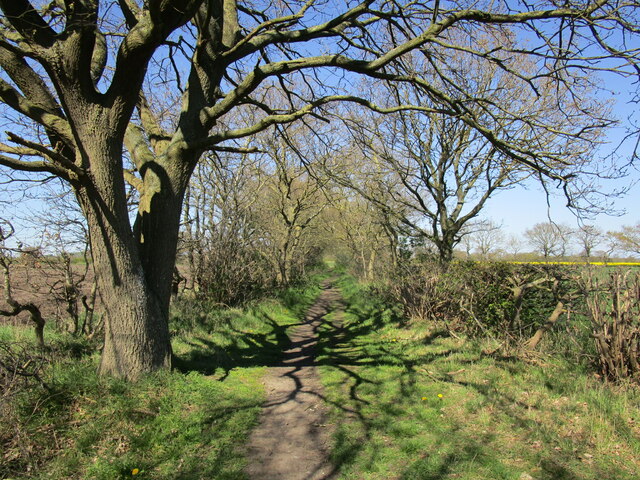
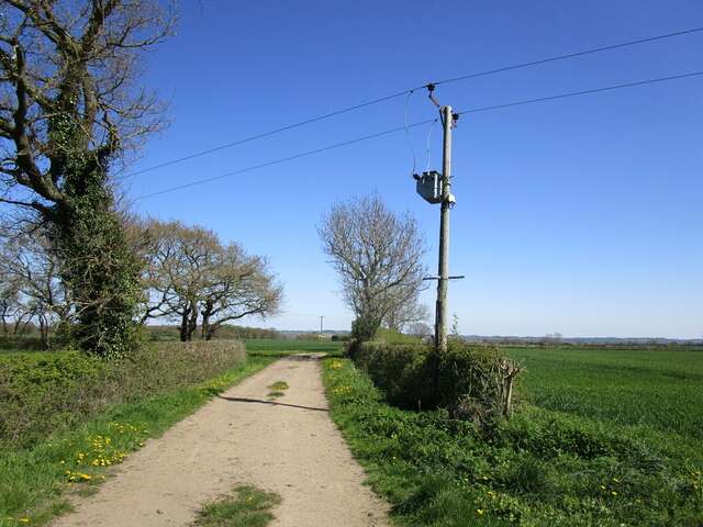
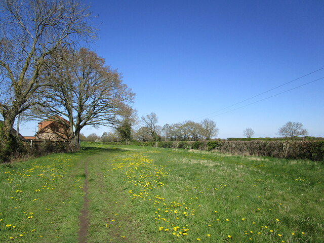
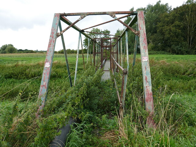
Haddington Images

Images are sourced within 2km of 53.156275/-0.631841 or Grid Reference SK9163. Thanks to Geograph Open Source API. All images are credited.

Blackmoor Road near Aubourn Heading west towards Aubourn.
Blackmoor Road near Aubourn
Heading west towards Aubourn.
Restricted byway towards Aubourn Little more than a footpath though there are signs that a horse has recently been along here.
Restricted byway towards Aubourn
Little more than a footpath though there are signs that a horse has recently been along here.
Restricted byway and blackthorn
Restricted byway to Lincoln Road Just a wide strip of grass with cultivation at each end.
Restricted byway to Lincoln Road
Just a wide strip of grass with cultivation at each end.
Two shades of yellow Gorse and oilseed rape.
On a byway from Bassingham to Aubourn.
Two shades of yellow
Gorse and oilseed rape. On a byway from Bassingham to Aubourn.
Dead tree and Moor Covert Auburn Moor.
Dead tree and Moor Covert
Auburn Moor.
Oilseed rape, Aubourn Moor
End of publicly maintained highway The road as far as this sign is supposed to be maintained by Lincolnshire County Council but is as rutted as any of the nearby farm tracks.
End of publicly maintained highway
The road as far as this sign is supposed to be maintained by Lincolnshire County Council but is as rutted as any of the nearby farm tracks.
Bend in Moor Lane near Aubourn Malborough Farm in the distance.
Bend in Moor Lane near Aubourn
Malborough Farm in the distance.
Moor Lane near Aubourn
Oilseed rape near Aubourn
Moor Lane near Aubourn This road is supposed to be maintained by Lincolnshire County Council but is as rutted as any of the nearby farm tracks.
Moor Lane near Aubourn
This road is supposed to be maintained by Lincolnshire County Council but is as rutted as any of the nearby farm tracks.
Grazing sheep and Moor Covert
Restricted byway towards Aubourn
Restricted byway towards Aubourn For a brief section this byway runs along a farm track from North Field Farm.
Restricted byway towards Aubourn
For a brief section this byway runs along a farm track from North Field Farm.
Restricted byway towards Aubourn Passes through a narrow grass field.
Restricted byway towards Aubourn
Passes through a narrow grass field.
Unsafe bridge Not for pedestrian use. A sign says there is an alternative route but gives no indication where it is.
Unsafe bridge
Not for pedestrian use. A sign says there is an alternative route but gives no indication where it is.
Show me another place!

Haddington is located at Grid Ref: SK9163 (Lat: 53.156275, Lng: -0.631841)

Division: Parts of Kesteven

Administrative County: Lincolnshire

District: North Kesteven

Police Authority: Lincolnshire

What 3 Words

///acrobatic.silks.tram. Near Bassingham, Lincolnshire

Nearby Locations

Haddington

Related Wikis

Haddington, Lincolnshire

Haddington is a hamlet in the civil parish of Aubourn with Haddington, in the North Kesteven district of Lincolnshire, England. It is situated just off...

Aubourn with Haddington

Aubourn with Haddington or Aubourn and Haddington is a civil parish in the North Kesteven district of Lincolnshire, England. The population of the civil...

Aubourn

Aubourn ("Stream where the Alders grow") is a small village in the civil parish of Aubourn with Haddington, in the North Kesteven district, in the county...

Aubourn Haddington and South Hykeham

Aubourn Haddington and South Hykeham was a former civil parish in the North Kesteven district of Lincolnshire, England. According to the 2001 census it...

Nearby Amenities

Located within 500m of 53.156275,-0.631841
Haddington
Place: hamlet
Source: Bing
Lat/Long: 53.1566784/-0.6328884
Bus Stop
Bridge Farm
Naptan AtcoCode: 270000007785
Naptan Bearing: S
Naptan CommonName: Bridge Farm
Naptan Indicator: opp
Naptan Landmark: Bridge Farm
Naptan NaptanCode: lingmapm
Naptan Street: Bridge Road
Naptan Verified: no
Source: naptan_import
Lat/Long: 53.156115/-0.6288469
Bus Stop
Letter Box
Naptan AtcoCode: 270002700115
Naptan Bearing: E
Naptan CommonName: Letter Box
Naptan Indicator: E - bound
Naptan Landmark: Letter Box
Naptan NaptanCode: linjtapm
Naptan Street: Dovecote Lane
Naptan Verified: no
Source: naptan_import
Lat/Long: 53.1563674/-0.6304691
Bus Stop
Letter Box
Naptan AtcoCode: 270002700116
Naptan Bearing: W
Naptan CommonName: Letter Box
Naptan Indicator: W - bound
Naptan Landmark: Letter Box
Naptan NaptanCode: linjtapt
Naptan Street: Dovecote Lane
Naptan Verified: no
Source: naptan_import
Lat/Long: 53.1562822/-0.6305344
Bus Stop
Bridge Farm
Naptan AtcoCode: 2700LH006429
Naptan Bearing: N
Naptan CommonName: Bridge Farm
Naptan Indicator: adj
Naptan Landmark: Bridge Farm
Naptan NaptanCode: lingdgmt
Naptan Street: Bridge Road
Naptan Verified: no
Source: naptan_import
Lat/Long: 53.1560901/-0.6290272
Bridge Farm
Place: farm
Source: Bing
Lat/Long: 53.1561263/-0.6300364
Corner Farm
Place: farm
Source: Bing
Lat/Long: 53.1563758/-0.6368458
Barrier: kissing_gate
Lat/Long: 53.1557526/-0.6382895
Barrier: stile
Lat/Long: 53.154206/-0.6277681
Barrier: stile
Lat/Long: 53.1544231/-0.6281738
Barrier: stile
Lat/Long: 53.1544944/-0.6280035
Barrier: kissing_gate
Lat/Long: 53.1530935/-0.6268361
Generator Method: photovoltaic
Generator Output Electricity: yes
Generator Source: solar
Generator Type: solar_photovoltaic_panel
Location: roof
Power: generator
Lat/Long: 53.1558449/-0.6314148
The data included in this document is from www.openstreetmap.org. The data is made available under ODbL.

Have you been to Haddington?

Leave your review of Haddington below (or comments, questions and feedback).