Dure Down
Downs, Moorland in Somerset Somerset West and Taunton
England
Dure Down

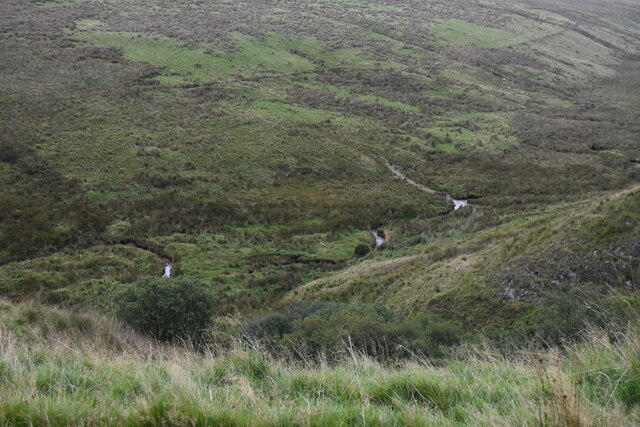
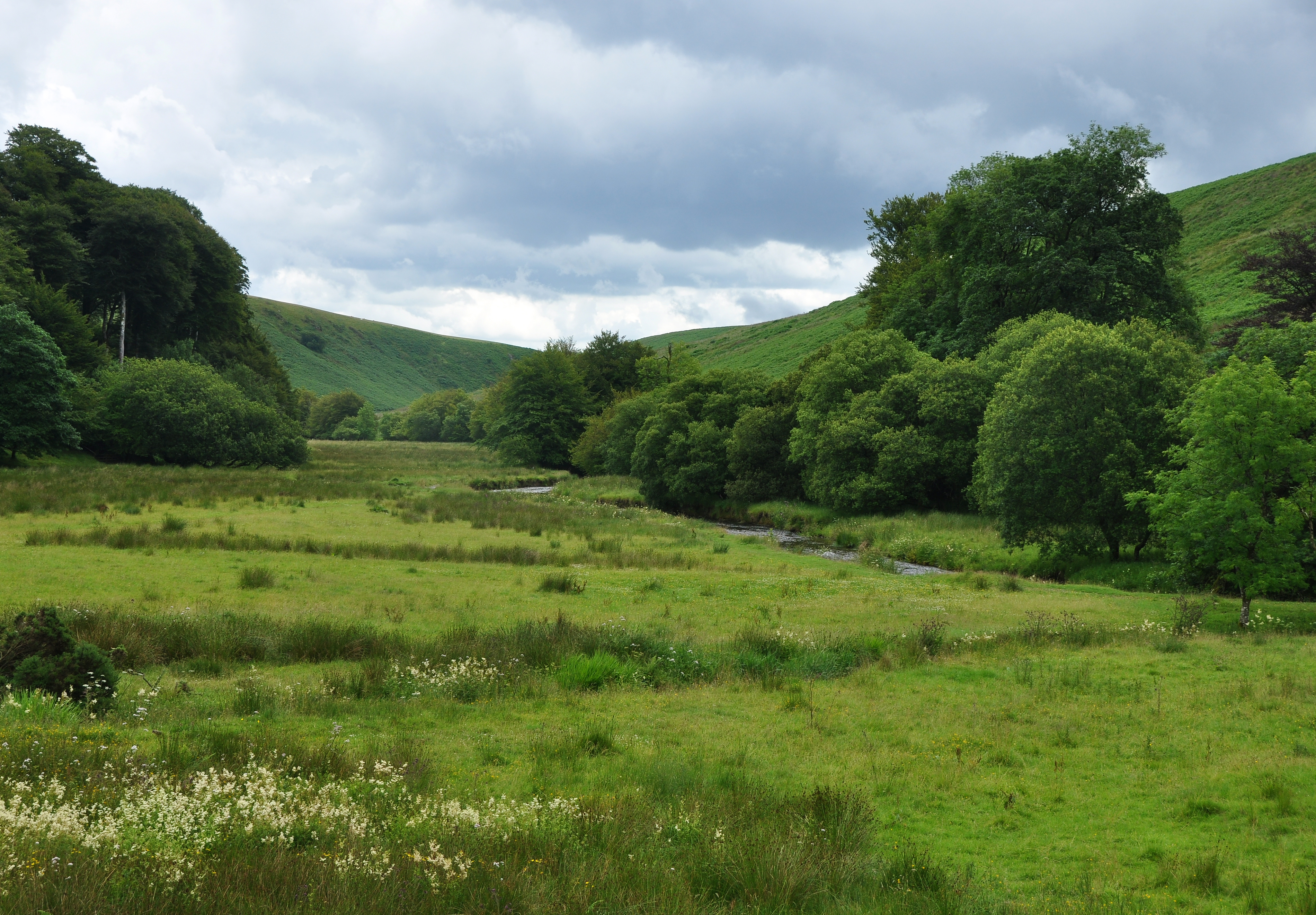
Dure Down is a picturesque area located in Somerset, England. It is part of the larger region known as the Somerset Downs, which encompasses both downland and moorland landscapes. Dure Down specifically offers a unique combination of both terrains, making it a popular destination for nature enthusiasts and hikers.
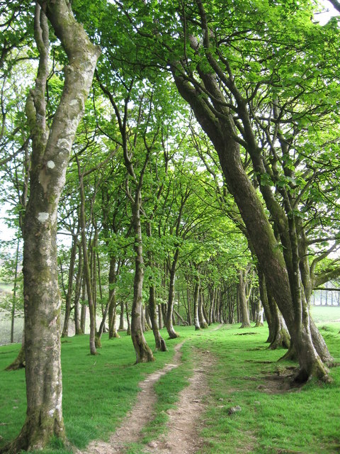
The downland area of Dure Down is characterized by rolling hills and expansive grasslands, providing breathtaking views of the surrounding countryside. Visitors can enjoy leisurely walks or more challenging hikes along the well-marked trails that crisscross the downs. The diverse flora and fauna found in this area make it a haven for wildlife, including various bird species and small mammals.
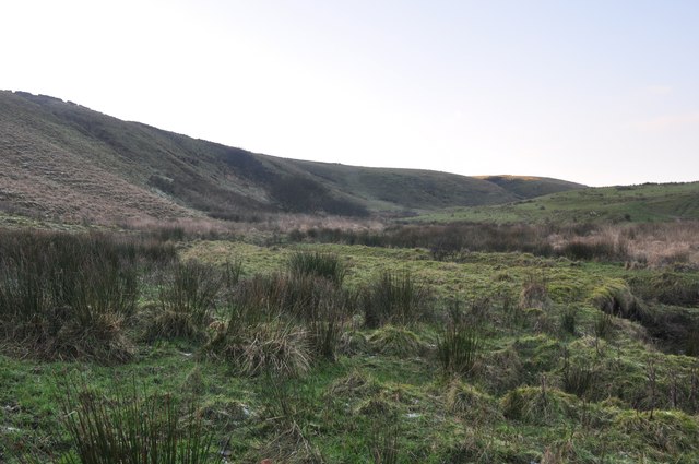
The moorland section of Dure Down presents a stark contrast to the downland, with its rugged terrain and heather-covered hills. This wild and untamed landscape is a paradise for those seeking solitude and a deeper connection with nature. The moorland is home to a variety of plant species, including the iconic purple heather that flourishes in the late summer months.
In addition to its natural beauty, Dure Down boasts a rich historical heritage. The area is dotted with ancient archaeological sites, such as burial mounds and stone circles, offering glimpses into the lives of past civilizations. Visitors can explore these historical landmarks and learn about the area's fascinating past.
Overall, Dure Down, Somerset, is a captivating destination that showcases the diverse landscapes and rich history of the Somerset Downs. Whether it's admiring the sweeping views from the downland or immersing oneself in the untamed moorland, this area has something to offer for every nature lover.
If you have any feedback on the listing, please let us know in the comments section below.
Dure Down Images
Images are sourced within 2km of 51.155202/-3.7809777 or Grid Reference SS7541. Thanks to Geograph Open Source API. All images are credited.


Dure Down is located at Grid Ref: SS7541 (Lat: 51.155202, Lng: -3.7809777)
Administrative County: Somerset
District: Somerset West and Taunton
Police Authority: Avon and Somerset
What 3 Words
///workers.worldwide.consented. Near Lynton, Devon
Nearby Locations
Related Wikis

Chains (geological site)
The Chains is the name given to the north-west plateau of Exmoor, Somerset, England. This plateau lies above the 1,500 feet (457 m) contour line, and includes...
Simonsbath House
Simonsbath House is a historic house in Simonsbath on Exmoor in Somerset, England. The Grade II listed building is now the Simonsbath House Hotel, and...

Simonsbath
Simonsbath () is a small village high on Exmoor in the English county of Somerset. It is the principal settlement in the Exmoor civil parish, which is...

St Luke's Church, Simonsbath
St Luke's Church is a Church of England church in Simonsbath, Exmoor, Somerset, England. The church, which was designed by Henry Clutton and built in 1855...
Barle Valley
Barle Valley is a 1,540 acres (620 ha) Site of Special Scientific Interest within Exmoor National Park, situated in the counties of Devon and Somerset...

Lanacombe
Lanacombe is an area of Exmoor in Somerset, South West England. It is the site of several standing stones and cairns which have been scheduled as ancient...

Wheal Eliza Mine
Wheal Eliza Mine was an unsuccessful copper and iron mine on the River Barle near Simonsbath on Exmoor in the English county of Somerset. The first mining...

North Exmoor SSSI
North Exmoor (grid reference SS800430) is a 12,005.3-hectare (29,666-acre) biological Site of Special Scientific Interest (SSSI) in Devon and Somerset...
Have you been to Dure Down?
Leave your review of Dure Down below (or comments, questions and feedback).