Atholl
Downs, Moorland in Perthshire
Scotland
Atholl

Atholl is a region located in the county of Perthshire, Scotland. Known for its captivating natural beauty, Atholl is characterized by its enchanting downs and vast moorlands. The area is nestled in the southern part of the Cairngorms National Park, offering visitors a picturesque landscape to explore.
The downs of Atholl are rolling hills covered in lush green grass, providing a serene and idyllic setting. These gentle slopes are dotted with an array of wildlife, from grazing sheep to majestic deer, creating a harmonious blend of nature and tranquility.
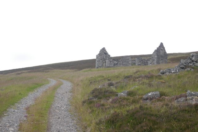
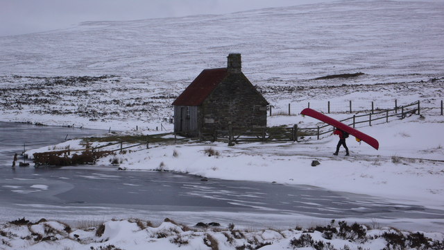
In contrast, the moorlands of Atholl offer a more rugged and wild terrain. These expansive areas are characterized by heather-covered hills, scattered boulders, and winding paths. The moorlands are rich in biodiversity, providing a habitat for numerous plant and animal species, including grouse, eagles, and rare carnivorous plants.
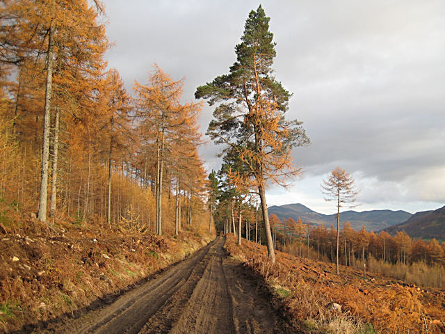
Atholl is not only a haven for nature enthusiasts but also offers a range of outdoor activities. Visitors can partake in hiking, mountain biking, and birdwatching, immersing themselves in the breathtaking surroundings. Additionally, the region is home to Blair Castle, a magnificent historic site that dates back to the 13th century. This castle offers guided tours, giving visitors a glimpse into Atholl's rich history.
Overall, Atholl in Perthshire is a captivating destination that showcases the beauty of Scotland's natural landscape. With its downs and moorlands, this region provides a serene escape and an opportunity to connect with nature.
If you have any feedback on the listing, please let us know in the comments section below.
Atholl Images
Images are sourced within 2km of 56.826013/-4.0494114 or Grid Reference NN7572. Thanks to Geograph Open Source API. All images are credited.


Atholl is located at Grid Ref: NN7572 (Lat: 56.826013, Lng: -4.0494114)
Unitary Authority: Perth and Kinross
Police Authority: Tayside
What 3 Words
///insolvent.cookie.scans. Near Blair Atholl, Perth & Kinross
Nearby Locations
Related Wikis

River Garry, Perthshire
The River Garry (Scottish Gaelic: Gar / Abhainn Ghar) is a major tributary of the River Tummel, itself a tributary of the River Tay, in the traditional...
Loch Con
Loch Con is a small, remote, shallow, irregular shaped freshwater loch that is located in Glen Errochty in the Perth and Kinross council area, at the...
Forest of Atholl
The Forest of Atholl (also known as Atholl Forest) is a deer forest near the Scottish village of Blair Atholl, Perth and Kinross, first recorded in the...

Geographical centre of Scotland
There is some debate as to the location of the geographical centre of Scotland. This is due to different methods of calculating the centre, and whether...
Have you been to Atholl?
Leave your review of Atholl below (or comments, questions and feedback).