Bad na Beithe
Downs, Moorland in Perthshire
Scotland
Bad na Beithe
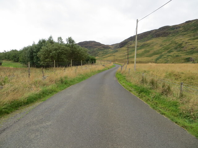
Bad na Beithe is a region nestled in the stunning countryside of Perthshire, Scotland. Known for its breathtaking downs and moorland, this area offers a picturesque landscape that captivates visitors from near and far.
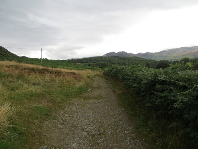
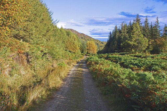
The downs of Bad na Beithe are characterized by rolling hills covered in lush green grasses and dotted with vibrant wildflowers. The gentle slopes provide a perfect setting for leisurely walks or picnics, offering panoramic views of the surrounding countryside. The tranquility of these downs is further enhanced by the presence of numerous sheep and cattle grazing peacefully.
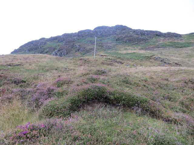
The moorland of Bad na Beithe showcases a more rugged and untamed side of the region. Here, visitors can immerse themselves in the vast expanses of heather and gorse, creating a stunning purple and yellow tapestry that stretches as far as the eye can see. The moorland is also home to a diverse array of wildlife, including red deer, grouse, and various bird species, making it a haven for nature enthusiasts and birdwatchers.
Both the downs and moorland of Bad na Beithe offer a unique opportunity to experience the untouched beauty of the Scottish countryside. Whether it's exploring the downs on foot or venturing into the moorland to observe the abundant wildlife, visitors are guaranteed an unforgettable experience in this idyllic corner of Perthshire.
If you have any feedback on the listing, please let us know in the comments section below.
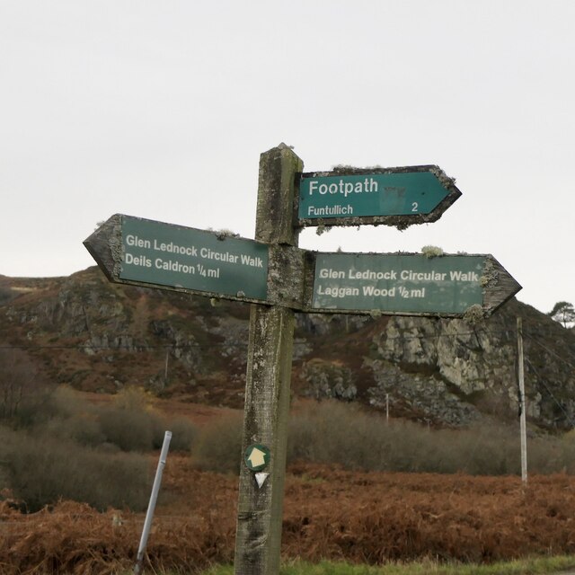
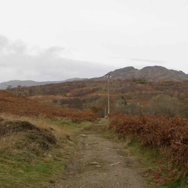
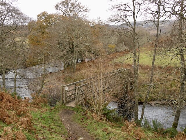
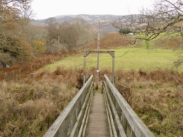
Bad na Beithe Images
Images are sourced within 2km of 56.4018/-4.0286239 or Grid Reference NN7425. Thanks to Geograph Open Source API. All images are credited.


Bad na Beithe is located at Grid Ref: NN7425 (Lat: 56.4018, Lng: -4.0286239)
Unitary Authority: Perth and Kinross
Police Authority: Tayside
What 3 Words
///suitcase.skirt.ambitions. Near Comrie, Perth & Kinross
Nearby Locations
Related Wikis

Central Lowlands
The Central Lowlands, sometimes called the Midland Valley or Central Valley, is a geologically defined area of relatively low-lying land in southern Scotland...

Dunira, Perthshire
Dunira (Scottish Gaelic: Dùn Iar) is an estate of about 350 hectares (860 acres) in Perthshire, Scotland, 3 miles (5 kilometres) northwest of Comrie and...
Dalchonzie Halt railway station
Dalchonzie Halt railway station, Dalchonzie Platform railway station or Dalchonzie Siding in the Parish of Comrie, Perth and Kinross, Scotland was an intermediate...

Dalchonzie
Dalchonzie is a place by the river Earn in Perthshire. Buildings there include a country house, a hydro-electric power station and farms. From 1903 to...
Comrie, Perth and Kinross
Comrie (; Gaelic: Cuimridh; Pictish: Aberlednock; Latin: Victoria) is a village and parish in the southern Highlands of Scotland, towards the western end...

1 Dunira Street
1 Dunira Street is an historic building in Comrie, Perth and Kinross, Scotland. It is a Category A listed building dating to 1904. Its architect was Charles...

Aberuchill Castle
Aberuchill Castle is located 3 kilometres (1.9 mi) west of Comrie in Perthshire, Scotland. It comprises an early 17th-century tower house, which was extended...

Dundurn, Scotland
Dundurn is the site of a Pictish hillfort in what is now Strathearn in Perth and Kinross, Scotland. The fort was situated on a hill with the River Earn...
Nearby Amenities
Located within 500m of 56.4018,-4.0286239Have you been to Bad na Beithe?
Leave your review of Bad na Beithe below (or comments, questions and feedback).