Craigmuie Moor
Downs, Moorland in Kirkcudbrightshire
Scotland
Craigmuie Moor
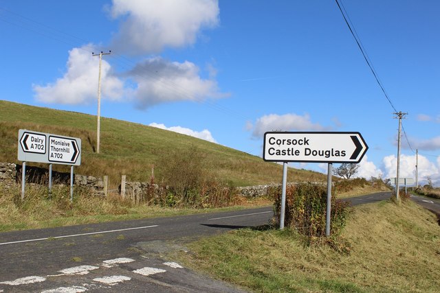
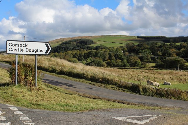
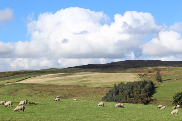
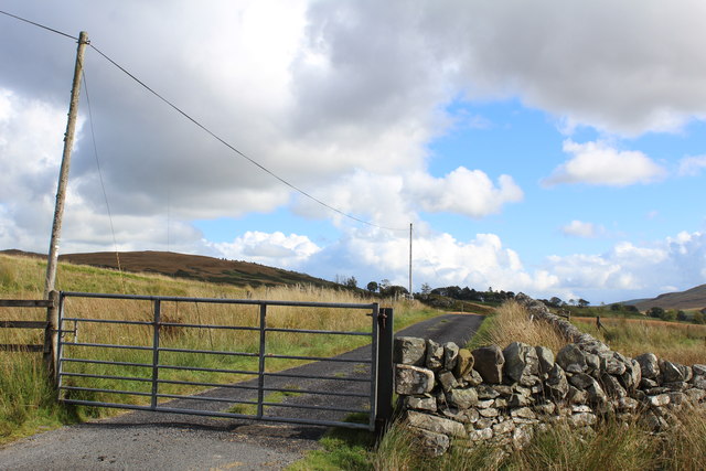
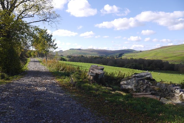
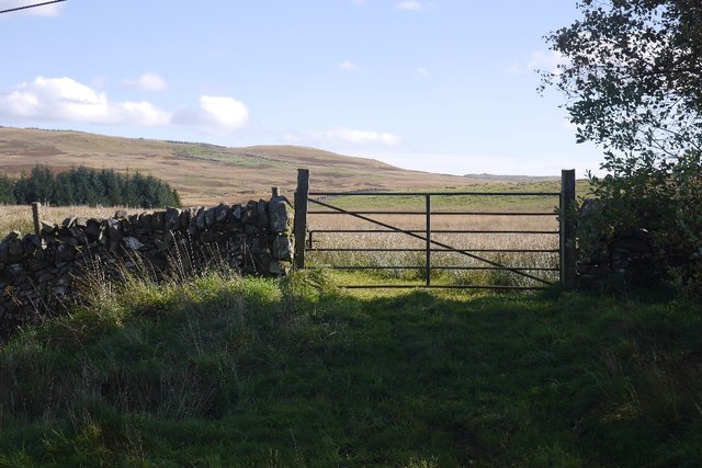
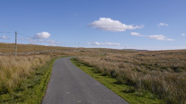
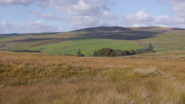
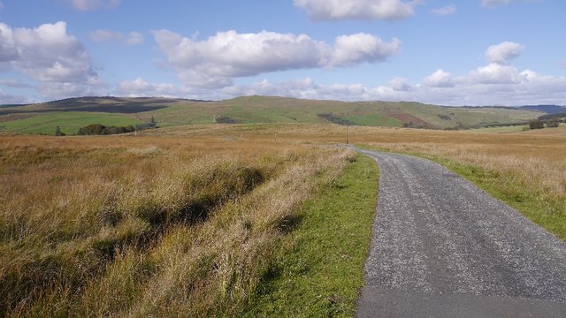
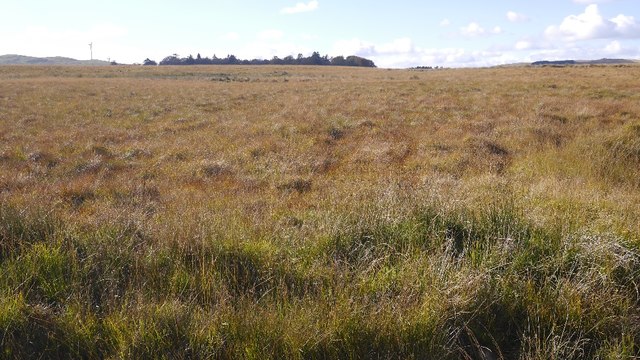
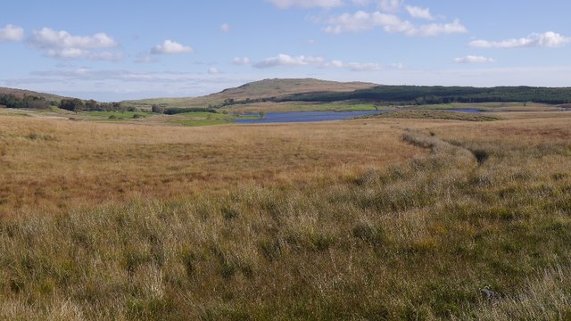
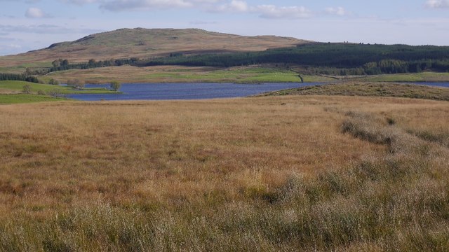
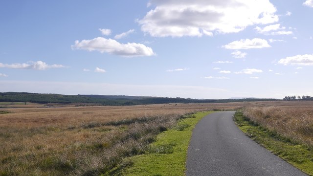
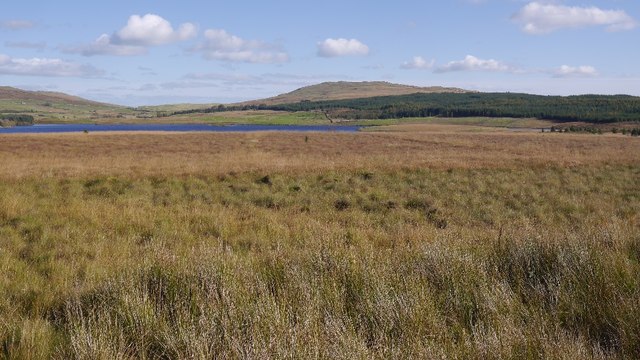
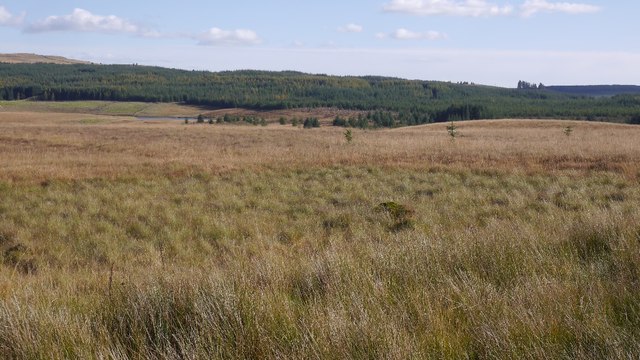
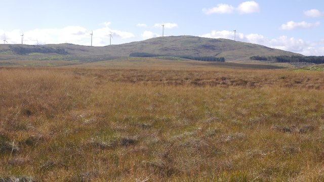
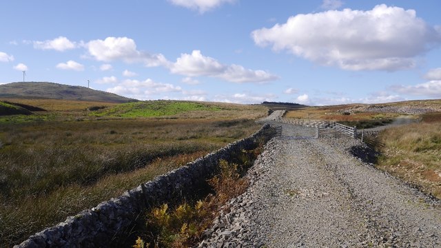
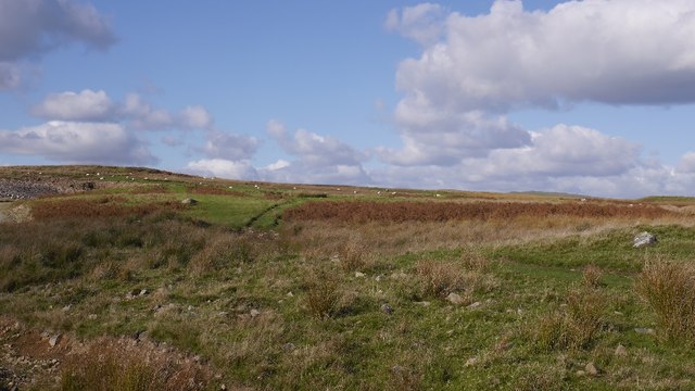
Craigmuie Moor is a vast expanse of moorland located in Kirkcudbrightshire, Scotland. Stretching over an area of approximately 500 acres, it is nestled in the picturesque setting of the Southern Uplands. The moorland is characterized by its rolling hills, open grassland, and heather-covered slopes, creating a stunning landscape that attracts nature enthusiasts and hikers alike.
The terrain of Craigmuie Moor is predominantly composed of peat, which gives the area its distinct character. It boasts a rich biodiversity, with a variety of plant and animal species calling it home. The moorland is particularly renowned for its heather, which forms a vibrant purple carpet during the summer months, creating a breathtaking sight.
The area offers a haven for a range of bird species, including grouse, curlews, and lapwings. Birdwatchers can often spot these feathered creatures soaring above the moorland or perched on the branches of the gnarled trees that dot the landscape. Additionally, small mammals like rabbits, hares, and voles inhabit the area, adding to its natural charm.
Craigmuie Moor also holds historical significance, with remnants of ancient settlements and prehistoric remains scattered throughout the area. Archaeological enthusiasts can explore the remains of stone circles and burial mounds, providing a glimpse into the lives of early inhabitants.
Visitors to Craigmuie Moor can indulge in activities such as hiking, nature walks, and wildlife photography. The moorland offers a serene and tranquil setting, providing an escape from the hustle and bustle of daily life. With its breathtaking beauty and diverse wildlife, Craigmuie Moor is a must-visit destination for those seeking a connection with nature and a glimpse into Scotland's rich history.
If you have any feedback on the listing, please let us know in the comments section below.
Craigmuie Moor Images
Images are sourced within 2km of 55.148436/-3.9810734 or Grid Reference NX7385. Thanks to Geograph Open Source API. All images are credited.
Craigmuie Moor is located at Grid Ref: NX7385 (Lat: 55.148436, Lng: -3.9810734)
Unitary Authority: Dumfries and Galloway
Police Authority: Dumfries and Galloway
What 3 Words
///uppermost.carpentry.microchip. Near Thornhill, Dumfries & Galloway
Nearby Locations
Related Wikis

Loch Skae
Loch Skae is a small, upland freshwater loch to the north of Blackcraig Hill, approximately 18 miles (29 km) west of Dumfries, Scotland, 0.5 mi (0.80 km...

Craigenputtock
Craigenputtock (usually spelled by the Carlyles as Craigenputtoch) is an estate in Scotland where Thomas Carlyle lived from 1828 to 1834. He wrote several...

Loch Howie
Loch Howie is a small, narrow, upland freshwater loch on the north side of Blackcraig Hill, approximately 18 miles (29 km) west of Dumfries, Scotland....

Craigdarroch
"Craigdarroch, An Accessory to Murder" is an expansion set for the board game Kill Doctor Lucky Craigdarroch is a house near Moniaive, Dumfries and Galloway...
Have you been to Craigmuie Moor?
Leave your review of Craigmuie Moor below (or comments, questions and feedback).