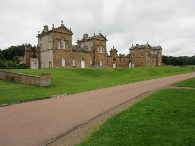
Hamilton High Parks
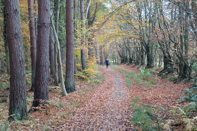
Downs, Moorland in Lanarkshire
Scotland
Hamilton High Parks
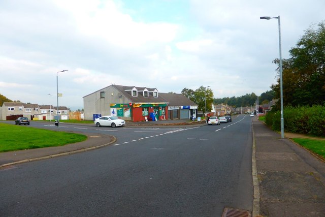
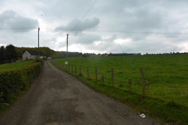
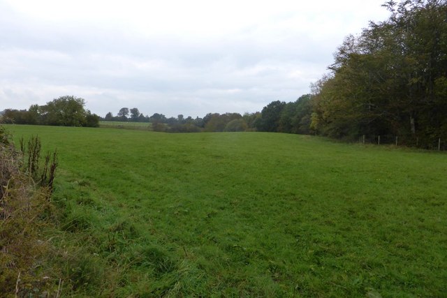
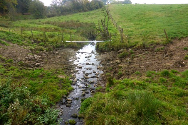
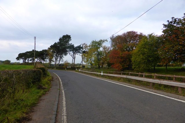
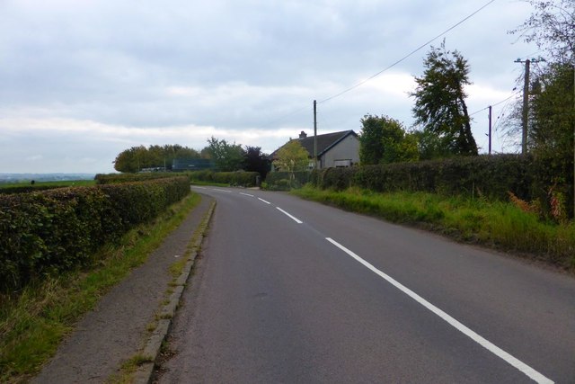
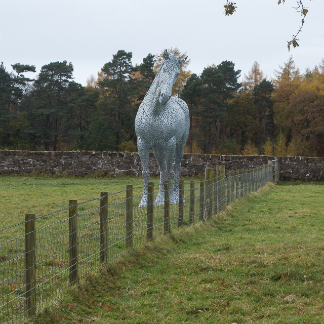
Hamilton High Parks is a beautiful green space located in the Lanarkshire region of Scotland. Covering a vast area, it is divided into two distinct sections: Downs and Moorland. This park is a popular destination for both locals and tourists due to its stunning natural surroundings and diverse range of activities.
The Downs section of Hamilton High Parks is characterized by its gently sloping hills and well-maintained grassy areas. It offers panoramic views of the surrounding countryside and is a favorite spot for picnics and leisurely walks. The park provides ample space for outdoor games, making it a popular choice for families and sports enthusiasts. There are also designated areas for dog-walking, ensuring that visitors with pets can enjoy the park without any inconvenience.
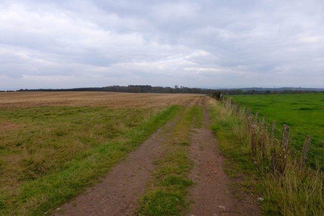
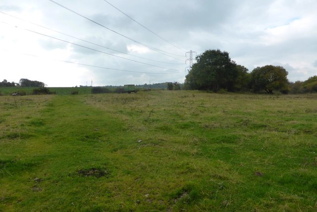
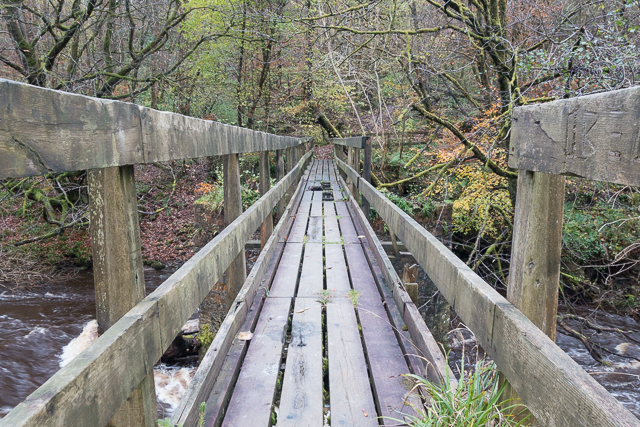
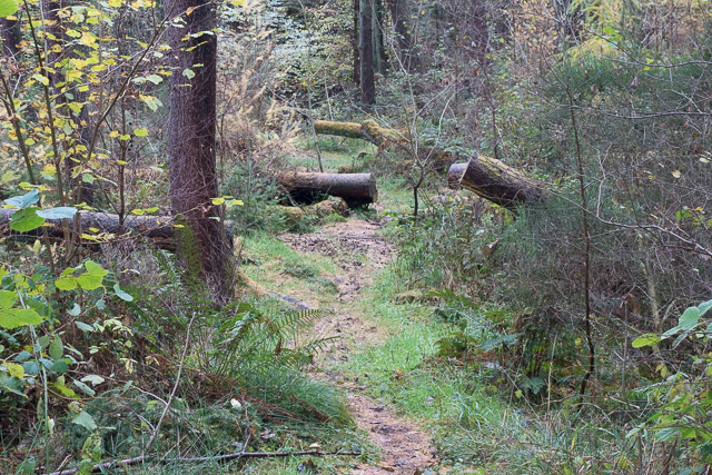
On the other hand, the Moorland section of the park showcases a more rugged and untamed landscape. It features vast expanses of heather-clad moors, interspersed with patches of dense woodland. This area is a haven for nature enthusiasts, offering opportunities for birdwatching and wildlife spotting. Additionally, there are well-marked trails for hikers and cyclists, allowing visitors to explore the park's natural wonders at their own pace.
Hamilton High Parks is well-equipped with amenities to enhance visitors' experiences. There are ample parking spaces, public toilets, and designated picnic areas throughout the park. The park also hosts various events and festivals throughout the year, attracting a diverse range of visitors.
Overall, Hamilton High Parks in Lanarkshire offers a delightful blend of picturesque landscapes, recreational activities, and natural beauty, making it a must-visit destination for nature lovers and outdoor enthusiasts.
If you have any feedback on the listing, please let us know in the comments section below.
Hamilton High Parks Images
Images are sourced within 2km of 55.749839/-4.014625 or Grid Reference NS7352. Thanks to Geograph Open Source API. All images are credited.


Hamilton High Parks is located at Grid Ref: NS7352 (Lat: 55.749839, Lng: -4.014625)
Unitary Authority: South Lanarkshire
Police Authority: Lanarkshire
What 3 Words
///eruptions.fetch.plotted. Near Hamilton, South Lanarkshire
Nearby Locations
Related Wikis

Earnock
Earnock was an ancient estate in an area south of Hamilton in Lanarkshire, Scotland. It extended from the western side of Strathaven Road to the western...

Cadzow Castle
Cadzow Castle, now in ruins, was constructed between 1500 and 1550 at a site one mile south-east of the centre of Hamilton, South Lanarkshire, Scotland...

Chatelherault Country Park
Chatelherault Country Park is a country park in Hamilton, South Lanarkshire, Scotland. It is located in the village of Ferniegair, 1+1⁄4 miles (2 kilometres...

Quarter, South Lanarkshire
Quarter is a village in South Lanarkshire, Scotland, on the hill above the Clyde Valley. == History == Francis Groome described the village in 1884-4 thus...
Chatelherault railway station
Chatelherault railway station serves the villages of Ferniegair and Allanton on the outskirts of Hamilton, South Lanarkshire, Scotland. It is named Chatelherault...
Ferniegair
Ferniegair is a village across the Avon Water from Hamilton, on the A72 road to Larkhall in South Lanarkshire, Scotland. The village contains the entrance...
Barncluith
Barncluith is an area of Hamilton in South Lanarkshire, Scotland. Barncluith forms the south-eastern part of the town, between the urban centre and the...
Hamilton (district)
Hamilton (Scottish Gaelic: Hamaltan) was a local government district in the Strathclyde region of Scotland from 1975 to 1996, lying to the south-east of...
Nearby Amenities
Located within 500m of 55.749839,-4.014625Have you been to Hamilton High Parks?
Leave your review of Hamilton High Parks below (or comments, questions and feedback).