Blairdrummond Moss

Downs, Moorland in Perthshire

Scotland

Blairdrummond Moss

Road junction at Blair Drummond Kirk Lane [B8075] from Gargunnock approaches the A84 Stirling to Callander road. On the right is the exit-slip from the westward A84
Road junction at Blair Drummond Credit: M J Richardson

The requested URL returned error: 429 Too Many Requests

If you have any feedback on the listing, please let us know in the comments section below.

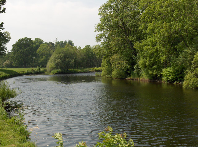
Blairdrummond Moss Images

Images are sourced within 2km of 56.148869/-4.0551991 or Grid Reference NS7297. Thanks to Geograph Open Source API. All images are credited.

Road junction at Blair Drummond Kirk Lane [B8075] from Gargunnock approaches the A84 Stirling to Callander road. On the right is the exit-slip from the westward A84
Road junction at Blair Drummond
Kirk Lane [B8075] from Gargunnock approaches the A84 Stirling to Callander road. On the right is the exit-slip from the westward A84
The road to Gargunnock Kirk Lane [B8075] heads south from the A84 at Blait Drummond.
The road to Gargunnock
Kirk Lane [B8075] heads south from the A84 at Blait Drummond.
Sommer’s Lane
Sommer’s Lane
Drainage ditch near Nyadd
Chalmerston Road
Chalmerston Road
B8075 towards Gargunnock
Road towards Blair Drummond Safari Park
A873 towards Stirling
Sommer’s Lane
Sommer’s Lane
Blair Drummond Safari Park
Farmland at Chalmerston Looking towards Ochtertyre Moss Wood from the drive to Chalmerston.
Farmland at Chalmerston
Looking towards Ochtertyre Moss Wood from the drive to Chalmerston.
Robertson Lane Farm The area is a mixture of arable and pastoral farmland.
Robertson Lane Farm
The area is a mixture of arable and pastoral farmland.
Ochtertyre Moss Wood View of Rosecroft and caravans at Robertson Lane.
Ochtertyre Moss Wood
View of Rosecroft and caravans at Robertson Lane.
Rossburn Lane View from West Rossburnlane Farm (called Rossburn Farm by the Ordnance Survey).
Rossburn Lane
View from West Rossburnlane Farm (called Rossburn Farm by the Ordnance Survey).
Sommer's Lane Road in the flatland of Blairdrummond Moss.
Sommer's Lane
Road in the flatland of Blairdrummond Moss.
Farmland and forest at Blair Drummond The view from Kincardine-in-Menteith graveyard.
Farmland and forest at Blair Drummond
The view from Kincardine-in-Menteith graveyard.
The church, Kincardine-in-Menteith The church is just off the A84. Its stands apart from its graveyard, which is to the south and on the other side of the road.
The church, Kincardine-in-Menteith
The church is just off the A84. Its stands apart from its graveyard, which is to the south and on the other side of the road.
Meiklewood House The house stands on a peninsula in the River Forth.
Meiklewood House
The house stands on a peninsula in the River Forth.
Show me another place!

Blairdrummond Moss is located at Grid Ref: NS7297 (Lat: 56.148869, Lng: -4.0551991)

Unitary Authority: Stirling

Police Authority: Forth Valley

What 3 Words

///slid.relies.breezy. Near Doune, Stirling

Nearby Locations

Blairdrummond Moss

Related Wikis

Blair Drummond Safari Park

Blair Drummond Safari Park is a family visitor attraction located near Stirling in Scotland. It opened to the public on 15 May 1970 and is home to over...

Kincardine-in-Menteith

Kincardine is a civil parish in the Scottish council area of Stirling and the former county of Perthshire in the historic district of Menteith. It lies...

Blair Drummond

Blair Drummond is a small rural community 5 miles (8 kilometres) northwest of Stirling in the Stirling district of Scotland, predominantly located along...

Gargunnock railway station

Gargunnock railway station served the village of Gargunnock, Stirling, Scotland, from 1856 to 1959 on the Forth and Clyde Junction Railway. == History... ==

Nearby Amenities

Located within 500m of 56.148869,-4.0551991
Power: pole
Lat/Long: 56.144572/-4.0545641
Power: pole
Lat/Long: 56.1452083/-4.0539847
Power: pole
Lat/Long: 56.1458352/-4.053422
Power: pole
Lat/Long: 56.146574/-4.0527129
Power: pole
Lat/Long: 56.1477334/-4.0516587
Power: pole
Lat/Long: 56.1479886/-4.051416
Power: pole
Lat/Long: 56.148401/-4.0511504
Power: pole
Lat/Long: 56.1491386/-4.0507069
Power: pole
Lat/Long: 56.149882/-4.0502614
Power: pole
Lat/Long: 56.150602/-4.0498347
Power: pole
Lat/Long: 56.1513162/-4.0493849
The data included in this document is from www.openstreetmap.org. The data is made available under ODbL.

Have you been to Blairdrummond Moss?

Leave your review of Blairdrummond Moss below (or comments, questions and feedback).