Thornworthy Common
Downs, Moorland in Devon North Devon
England
Thornworthy Common
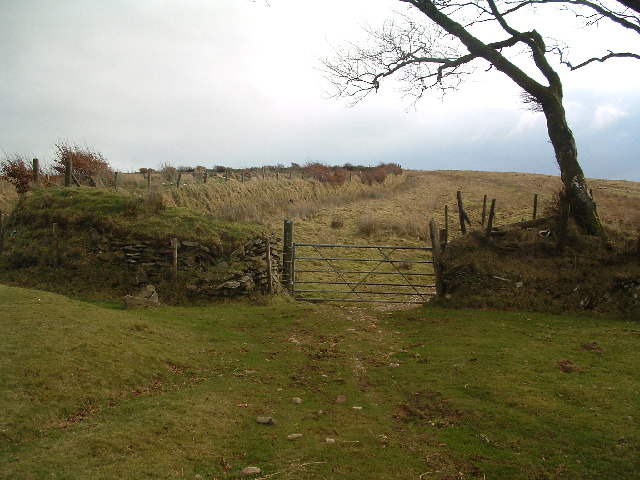
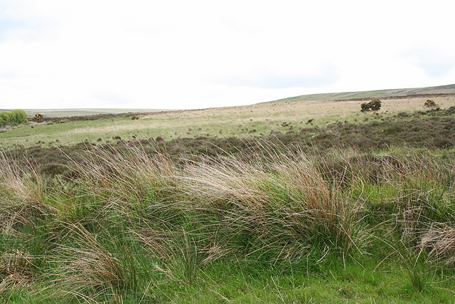
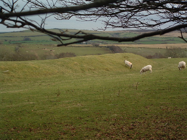
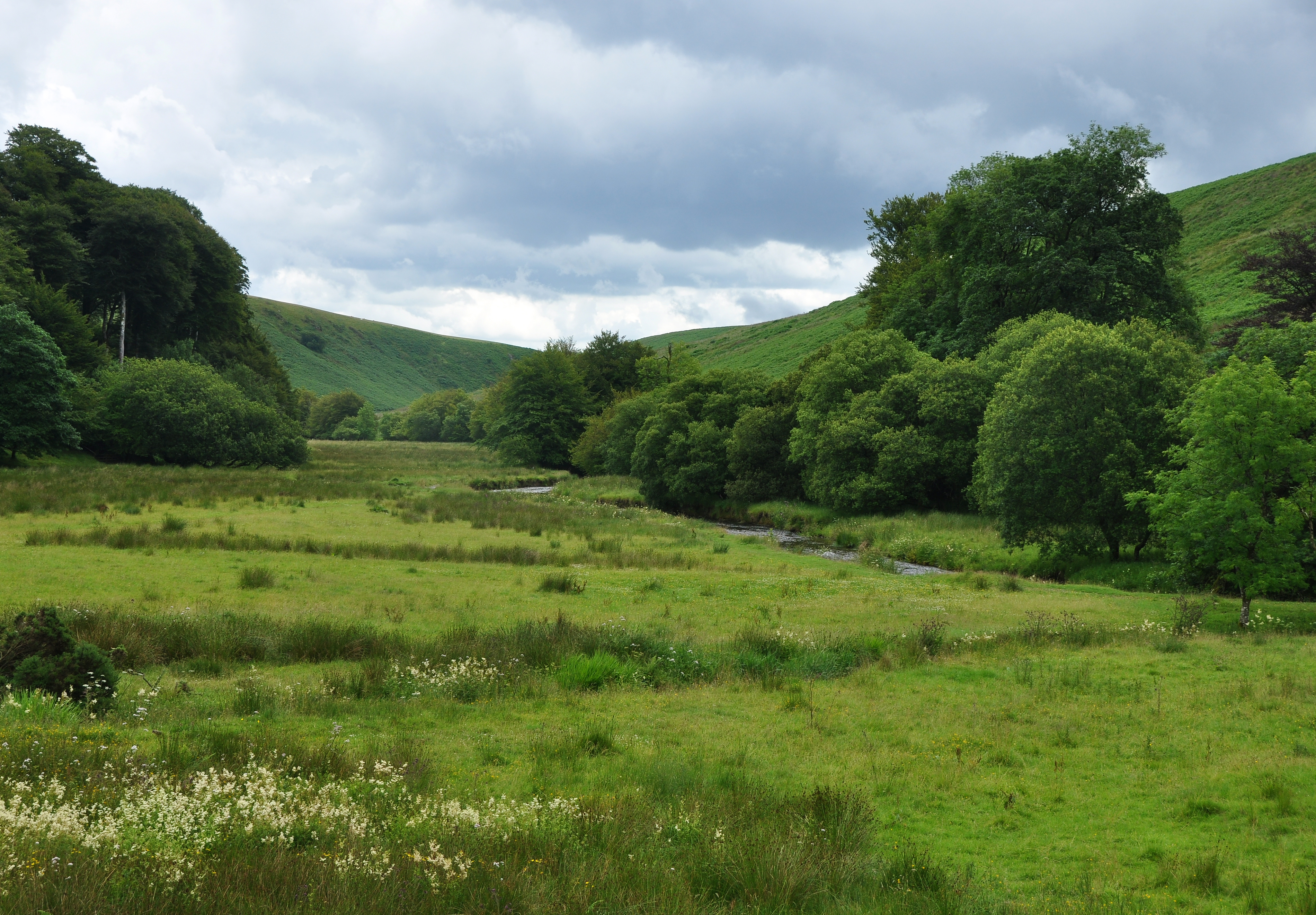
Thornworthy Common is a picturesque area located in the county of Devon, England. Spread across a vast expanse of downs and moorland, it offers visitors a stunning natural landscape to explore. With its diverse flora and fauna, it is a haven for nature enthusiasts and outdoor lovers alike.
The common is characterized by rolling hills, dotted with vibrant heather and gorse bushes, creating a colorful and vibrant atmosphere. Visitors can hike along the well-maintained trails, allowing them to immerse themselves in the serene beauty of the moorland. From the highest points, breathtaking views of the surrounding countryside can be enjoyed, providing a sense of tranquility and escape from the hustle and bustle of everyday life.
Thornworthy Common is also home to a variety of wildlife, including rare bird species and indigenous animals. Birdwatchers will delight in spotting elusive species such as the Dartford warbler and the stonechat. Additionally, the common is known for its populations of deer, which can often be seen grazing peacefully in the open meadows.
The area is well-equipped for visitors, with designated picnic spots and car parks available for convenience. It is also a popular spot for camping and offers a chance to experience the beauty of the night sky away from light pollution.
Overall, Thornworthy Common is a true gem of Devon, offering visitors a chance to connect with nature and experience the unspoiled beauty of the downs and moorland. Whether it's a leisurely walk, birdwatching, or simply soaking in the peaceful atmosphere, this common provides a truly memorable experience for all who visit.
If you have any feedback on the listing, please let us know in the comments section below.
Thornworthy Common Images
Images are sourced within 2km of 51.185912/-3.8390992 or Grid Reference SS7144. Thanks to Geograph Open Source API. All images are credited.


Thornworthy Common is located at Grid Ref: SS7144 (Lat: 51.185912, Lng: -3.8390992)
Administrative County: Devon
District: North Devon
Police Authority: Devon and Cornwall
What 3 Words
///firewall.decorated.quieter. Near Lynton, Devon
Nearby Locations
Related Wikis
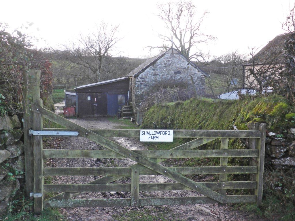
Shallowford, Devon
Shallowford is a hamlet in the civil parish of Lynton and Lynmouth in the North Devon district of Devon, England. Its nearest town is Lynton, which lies...
Roborough Castle
Roborough Castle is an Iron Age enclosure or hill fort situated close to Lynton in Devon, England. The fort is situated on the North East edge of a Hillside...

Furzehill, Devon
Furzehill is a hamlet in the North Devon district of Devon, England. Its nearest town is Lynton, which lies approximately 4 miles (6.4 km) north from the...
Barle Valley
Barle Valley is a 1,540 acres (620 ha) Site of Special Scientific Interest within Exmoor National Park, situated in the counties of Devon and Somerset...
Have you been to Thornworthy Common?
Leave your review of Thornworthy Common below (or comments, questions and feedback).