Clogwyn Mawr y Ffridd
Downs, Moorland in Caernarfonshire
Wales
Clogwyn Mawr y Ffridd
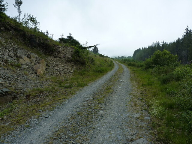
Clogwyn Mawr y Ffridd is a natural beauty spot located in Caernarfonshire, Wales. Situated in the heart of Snowdonia National Park, it is known for its stunning views and rugged, untouched landscapes. The area is predominantly composed of downs and moorland, making it a haven for outdoor enthusiasts and nature lovers.
The downs of Clogwyn Mawr y Ffridd offer expansive vistas, with rolling hills and grasslands stretching as far as the eye can see. The moorland, on the other hand, features vast open spaces covered in heather and bracken, providing a unique and picturesque backdrop.
The area is home to a diverse range of flora and fauna, with various species of wildflowers, birds, and mammals found in abundance. Visitors can spot native Welsh mountain ponies grazing peacefully, adding to the charm and authenticity of the surroundings.
Hikers and walkers are drawn to Clogwyn Mawr y Ffridd for its numerous trails and footpaths. The area offers a variety of routes, catering to all levels of fitness and experience. Whether it’s a leisurely stroll or a challenging hike, visitors can immerse themselves in the natural beauty and tranquility of the landscape.
In addition to its natural attractions, Clogwyn Mawr y Ffridd also holds historical significance. It is dotted with ancient ruins, including stone circles and burial mounds, offering a glimpse into the area's rich past.
Overall, Clogwyn Mawr y Ffridd is a captivating destination that showcases the raw beauty of Caernarfonshire. With its downs, moorland, and abundance of wildlife, it is a must-visit location for those seeking an authentic and immersive outdoor experience.
If you have any feedback on the listing, please let us know in the comments section below.
Clogwyn Mawr y Ffridd Images
Images are sourced within 2km of 53.051237/-3.92504 or Grid Reference SH7152. Thanks to Geograph Open Source API. All images are credited.


Clogwyn Mawr y Ffridd is located at Grid Ref: SH7152 (Lat: 53.051237, Lng: -3.92504)
Unitary Authority: Conwy
Police Authority: North Wales
What 3 Words
///punctured.cured.chiefs. Near Blaenau-Ffestiniog, Gwynedd
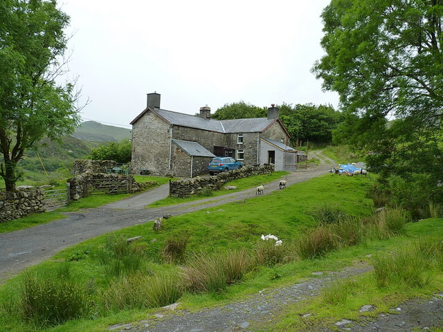
Nearby Locations
Related Wikis
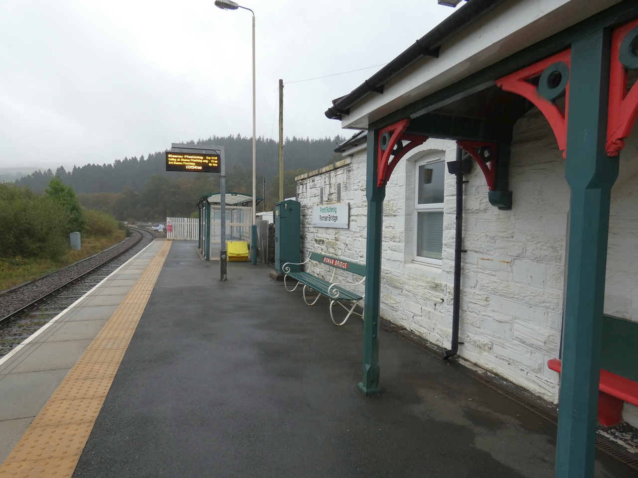
Roman Bridge railway station
Roman Bridge railway station (Welsh: Pont Rufeinig) is a request stop passenger station in the Lledr Valley, Wales, on the Conwy Valley Line from Llandudno...

Chwarel Ddu quarry
Chwarel Ddu quarry was the earliest slate quarry in the Lledr Valley. It was working before 1810, and continued in sporadic operation until the late 1920s...
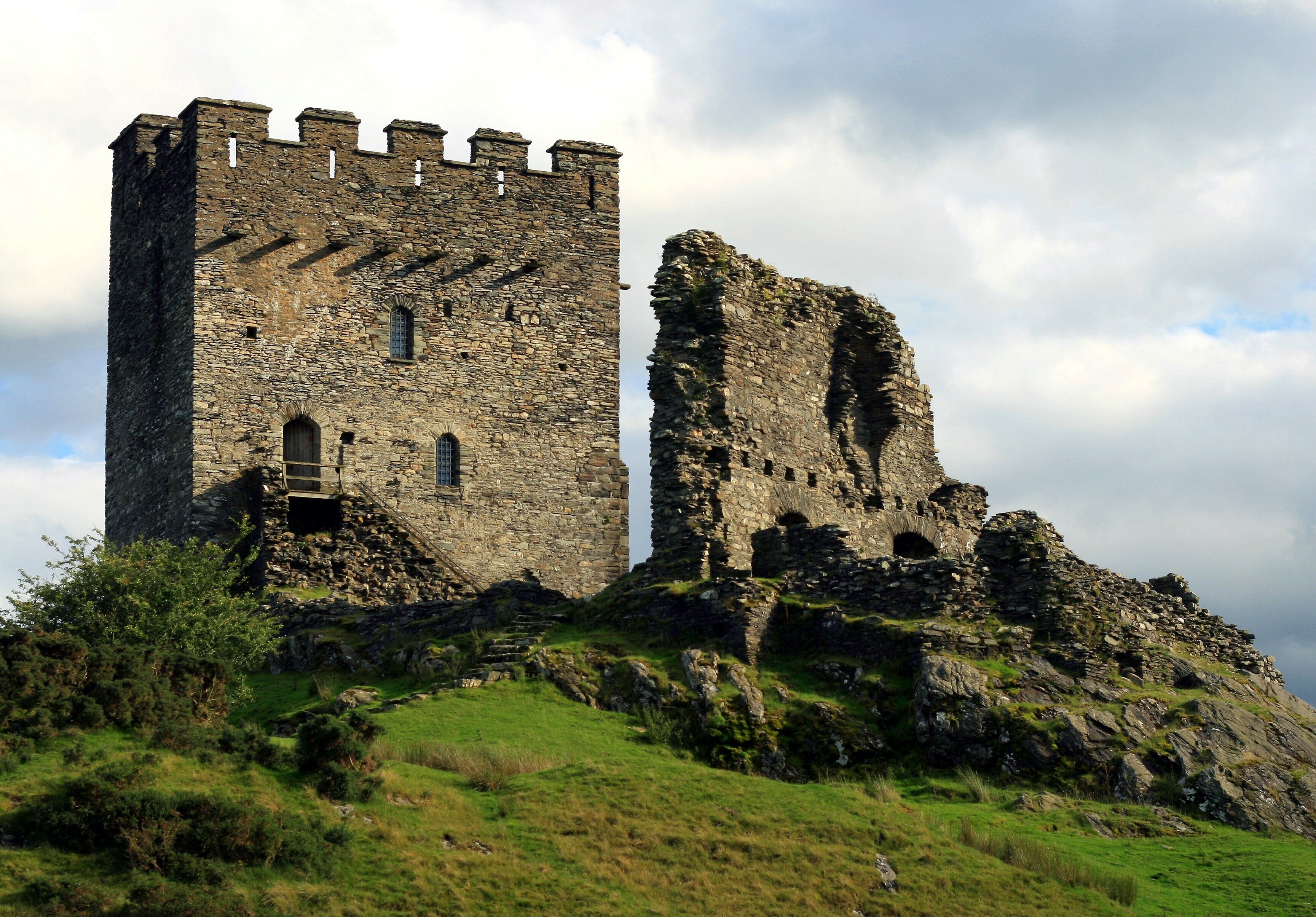
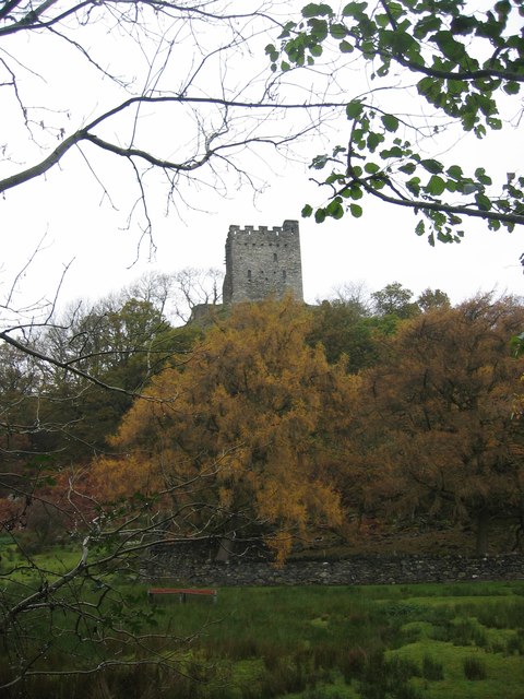
Dolwyddelan Castle
Dolwyddelan Castle ( dol-with-EL-an; Welsh: Castell Dolwyddelan; Welsh pronunciation: [kastɛɬ dɔlwɪð’ɛlan]) is a thirteenth-century castle located west...
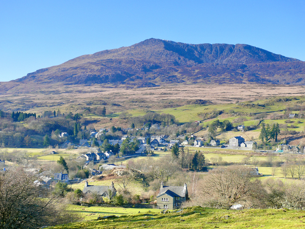
Dolwyddelan
Dolwyddelan (English: dol-with-EL-an; Welsh: [ˌdɔlwɪˈðɛlan]; ) is a village and community in Conwy County Borough, Wales. The community occupies most...
Nearby Amenities
Located within 500m of 53.051237,-3.92504Have you been to Clogwyn Mawr y Ffridd?
Leave your review of Clogwyn Mawr y Ffridd below (or comments, questions and feedback).