Lower Beacon Moor
Downs, Moorland in Devon North Devon
England
Lower Beacon Moor
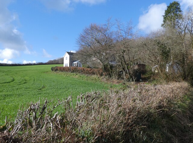
Lower Beacon Moor is a picturesque area located in Devon, Southwest England. Situated on the southern edge of Dartmoor National Park, it is known for its stunning downs and moorland landscapes. Spanning an area of approximately 20 square miles, Lower Beacon Moor encompasses rolling hills, open grasslands, and scattered woodland.
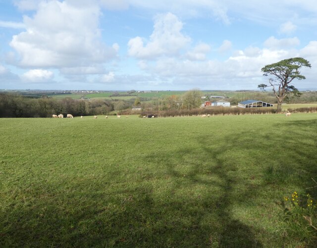
The moorland of Lower Beacon Moor is characterized by its extensive stretches of heather and gorse, creating a vibrant purple and yellow tapestry during the summer months. The area is home to a diverse range of flora and fauna, including various species of birds, butterflies, and wildflowers. Visitors can often spot the iconic Dartmoor ponies grazing freely on the open moor.
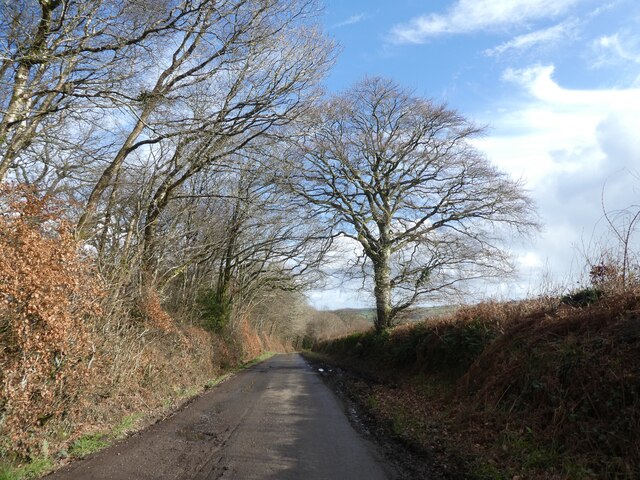
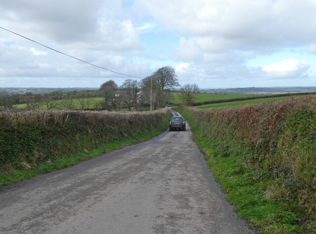
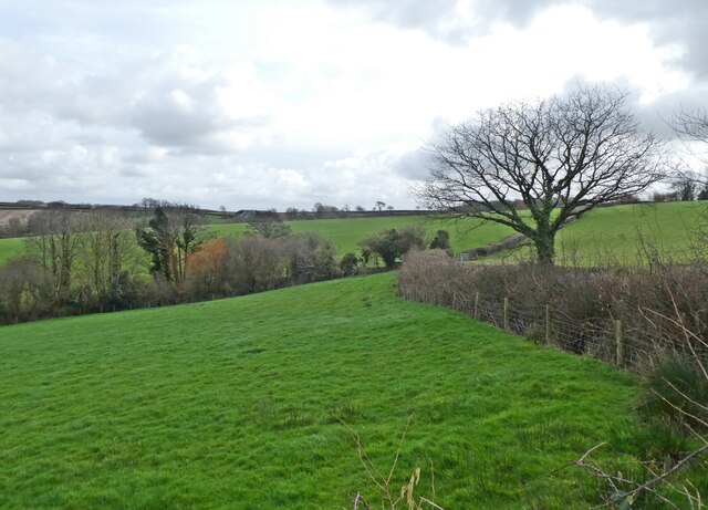
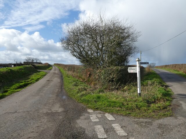
The downs of Lower Beacon Moor offer breathtaking panoramic views of the surrounding countryside. The undulating hills are covered in short grass and interspersed with rocky outcrops, providing a haven for walkers, hikers, and nature enthusiasts. The area is crisscrossed by a network of footpaths and trails, allowing visitors to explore the moorland and enjoy its natural beauty.
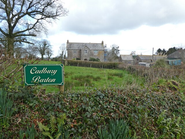
Lower Beacon Moor is also steeped in history, with evidence of human habitation dating back thousands of years. Ancient stone circles, burial mounds, and remnants of Bronze Age settlements can be found throughout the area, adding a sense of mystery and intrigue to the landscape.
Overall, Lower Beacon Moor offers a serene and unspoiled natural environment, perfect for those seeking tranquility and a connection with nature. Whether it's a leisurely stroll, a challenging hike, or simply a moment of quiet contemplation, this area of Devon is a treasure trove waiting to be discovered.
If you have any feedback on the listing, please let us know in the comments section below.
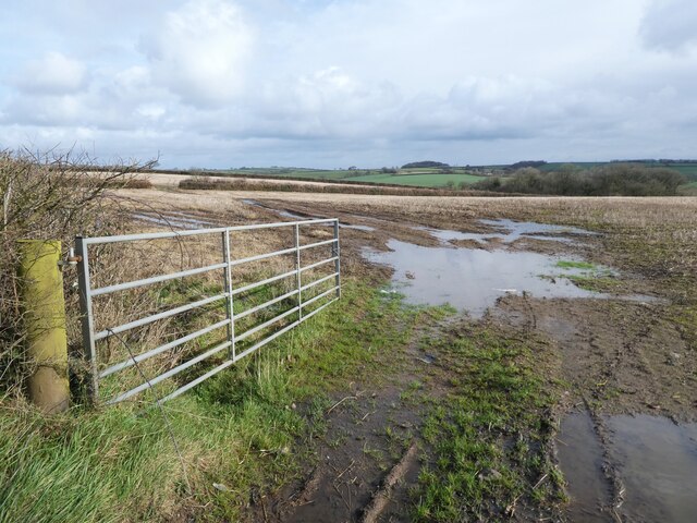
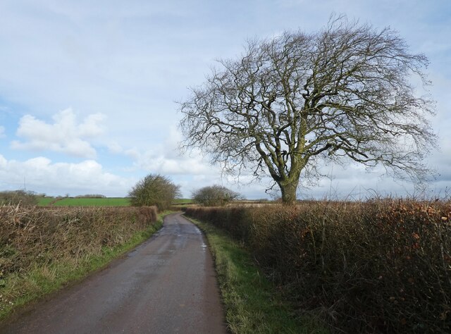
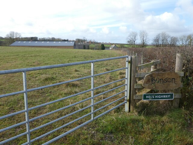
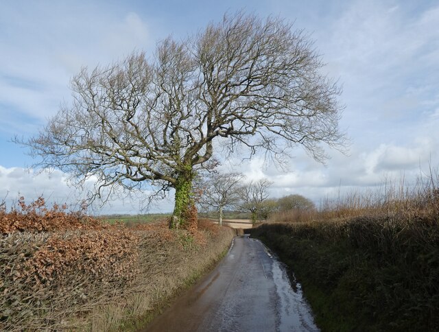
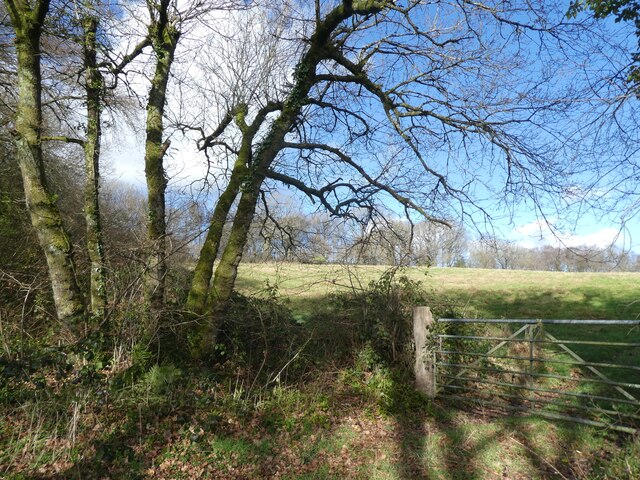
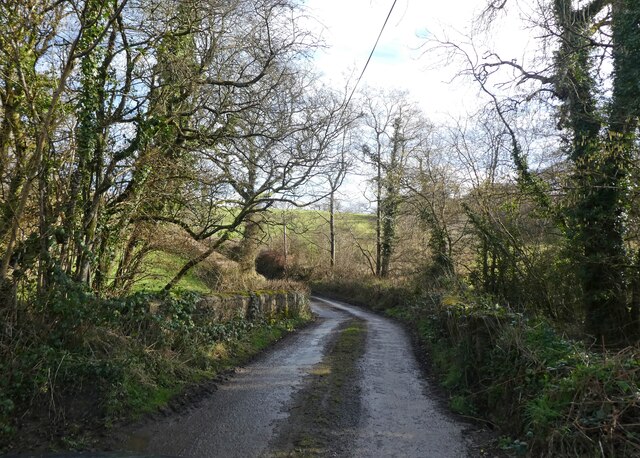
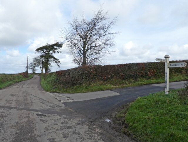
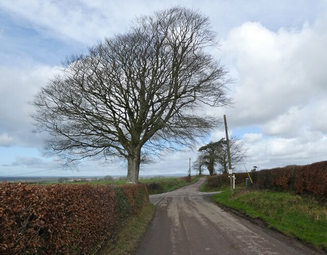
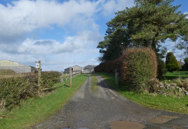
Lower Beacon Moor Images
Images are sourced within 2km of 50.927773/-3.8505268 or Grid Reference SS7015. Thanks to Geograph Open Source API. All images are credited.

Lower Beacon Moor is located at Grid Ref: SS7015 (Lat: 50.927773, Lng: -3.8505268)
Administrative County: Devon
District: North Devon
Police Authority: Devon and Cornwall
What 3 Words
///vivid.snuggled.dine. Near Chulmleigh, Devon
Nearby Locations
Related Wikis

Chulmleigh College
Chulmleigh College, previously known as Chulmleigh Community College, is an 11–16 mixed comprehensive secondary school with academy status in Chulmleigh...
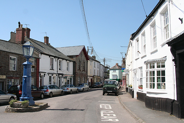
Chulmleigh
Chulmleigh ( CHUM-lee) is a small Saxon hilltop market town and civil parish located in North Devon in the heart of the English county of Devon. It is...

Chawleigh
Chawleigh is a village and civil parish in Mid Devon in the English county of Devon, situated just off the A377 between Crediton and Barnstaple. It has...

Colleton, Chulmleigh
Colleton is a hamlet and former manor in the civil parish and ecclesiastical parish of Chulmleigh, in the North Devon district of Devon, England. It is...
Nearby Amenities
Located within 500m of 50.927773,-3.8505268Have you been to Lower Beacon Moor?
Leave your review of Lower Beacon Moor below (or comments, questions and feedback).