South Common
Downs, Moorland in Devon North Devon
England
South Common
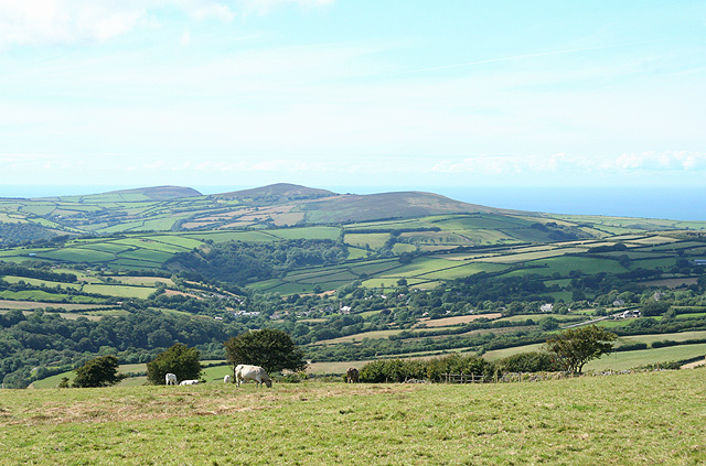
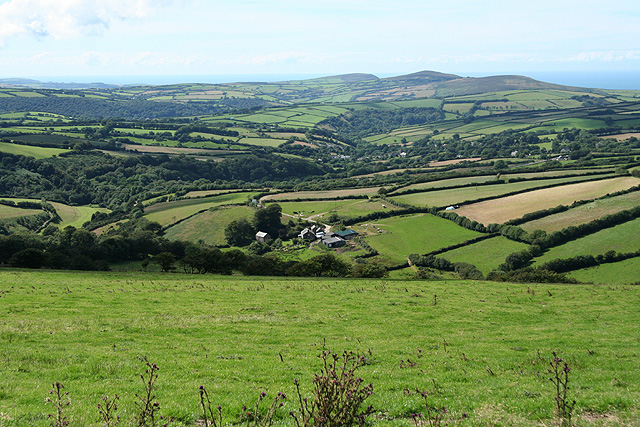
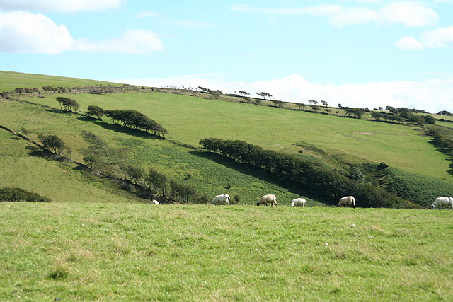
South Common is a picturesque area located in Devon, England. Situated in the heart of the county, it is characterized by its rolling hills, vast moorland, and lush greenery. The region is known for its natural beauty and is a haven for outdoor enthusiasts and nature lovers.
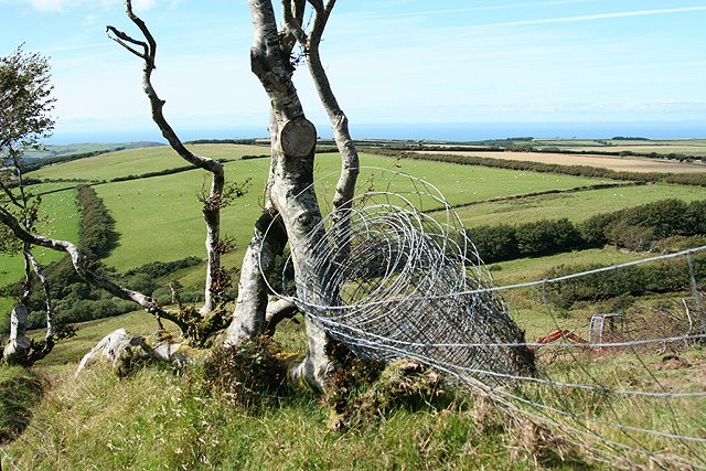
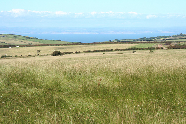
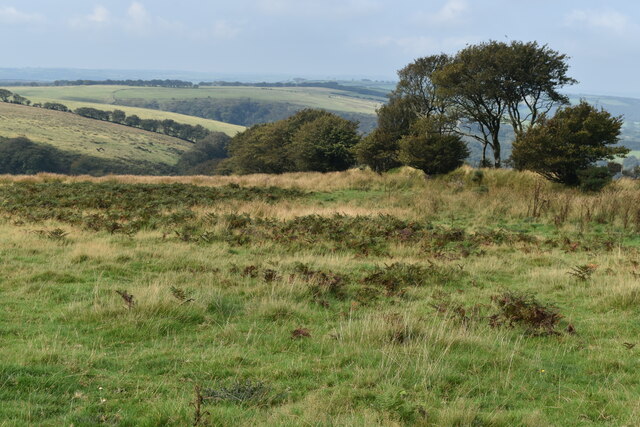
Covering a significant area, South Common offers a diverse landscape, ranging from open grasslands to dense woodlands. The downs, with their gently sloping hills, provide breathtaking panoramic views of the surrounding countryside. The moorland, on the other hand, is a habitat for various species of wildlife, including rare birds and wild ponies.
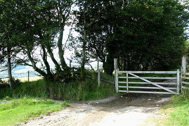
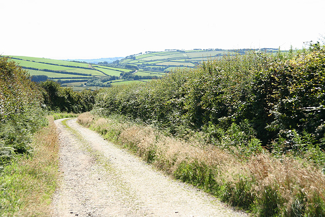
The area boasts an extensive network of walking trails, making it an ideal destination for hikers and walkers. These trails allow visitors to explore the stunning scenery, discover hidden valleys, and experience the tranquility of the countryside. Additionally, South Common offers opportunities for activities such as cycling, horse riding, and picnicking.
South Common is also home to several historic landmarks, including ancient burial sites and stone circles, which provide a glimpse into the region's rich history. The area has been inhabited for thousands of years, and remnants of its past can be seen in the form of archaeological remains and ruins.
In terms of amenities, South Common features a visitor center where tourists can obtain information about the area and its attractions. There are also designated parking areas, toilets, and picnic spots available for the convenience of visitors.
Overall, South Common is a stunning natural landscape that showcases the beauty of Devon. With its diverse terrain, abundant wildlife, and captivating history, it offers a truly memorable experience for anyone seeking to connect with nature and explore the wonders of the countryside.
If you have any feedback on the listing, please let us know in the comments section below.
South Common Images
Images are sourced within 2km of 51.18652/-3.8637649 or Grid Reference SS6944. Thanks to Geograph Open Source API. All images are credited.


South Common is located at Grid Ref: SS6944 (Lat: 51.18652, Lng: -3.8637649)
Administrative County: Devon
District: North Devon
Police Authority: Devon and Cornwall
What 3 Words
///minder.scowls.overtones. Near Lynton, Devon
Nearby Locations
Related Wikis
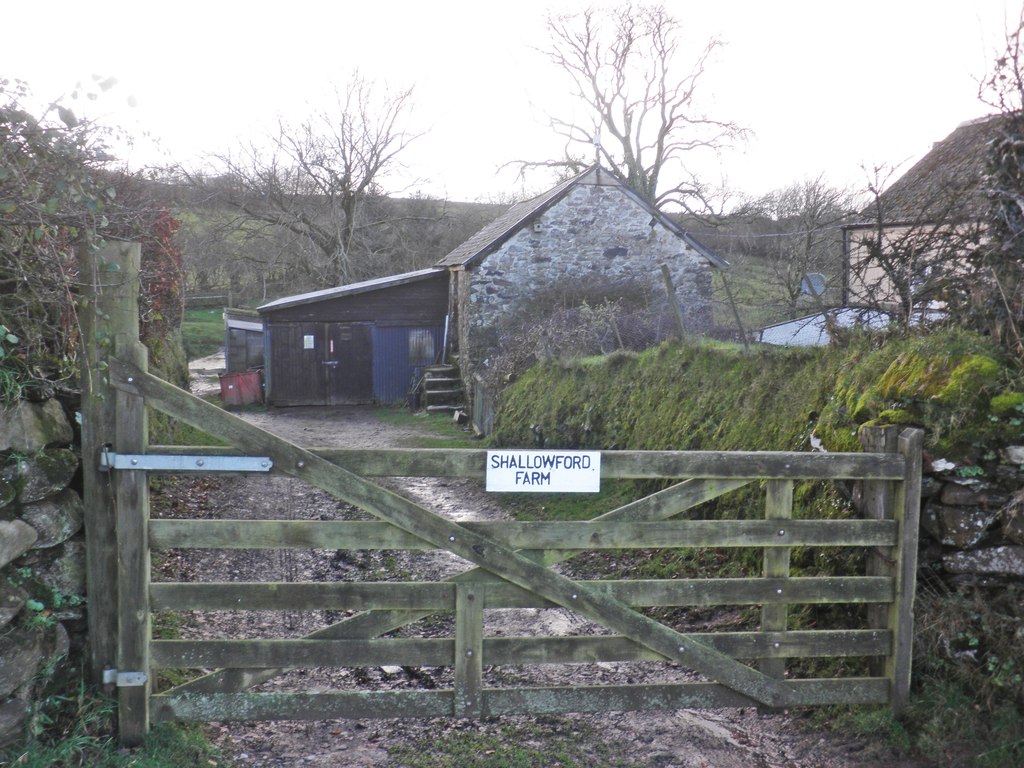
Shallowford, Devon
Shallowford is a hamlet in the civil parish of Lynton and Lynmouth in the North Devon district of Devon, England. Its nearest town is Lynton, which lies...

Woody Bay railway station
Woody Bay, within the Exmoor National Park, is a station on the former Lynton and Barnstaple Railway, a narrow gauge line that ran through Exmoor from...

St Petrock's Church, Parracombe
St Petrock's Church in Parracombe, Devon, England was built in the 13th century. It is recorded in the National Heritage List for England as a designated...

Parracombe railway station
Parracombe railway station was a halt on the Lynton & Barnstaple Railway, a narrow gauge line that ran through Exmoor from Barnstaple to Lynton and Lynmouth...
Have you been to South Common?
Leave your review of South Common below (or comments, questions and feedback).