Allt y Geufron
Downs, Moorland in Cardiganshire
Wales
Allt y Geufron

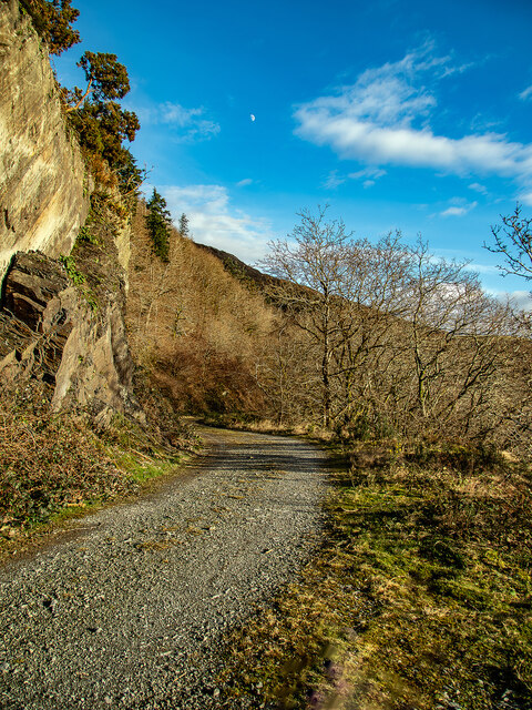
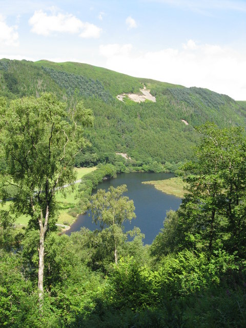
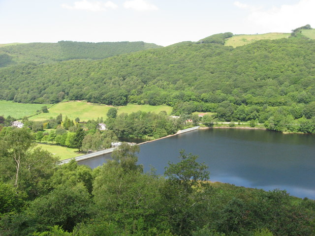
Allt y Geufron is a scenic area located in Cardiganshire, Wales, renowned for its picturesque downs and moorland landscapes. Spanning over a vast expanse of approximately 2000 hectares, it offers visitors a unique and tranquil experience in the heart of the Welsh countryside.
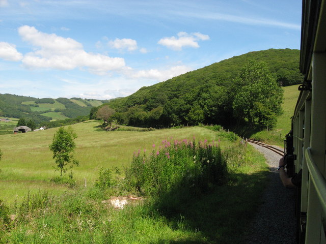
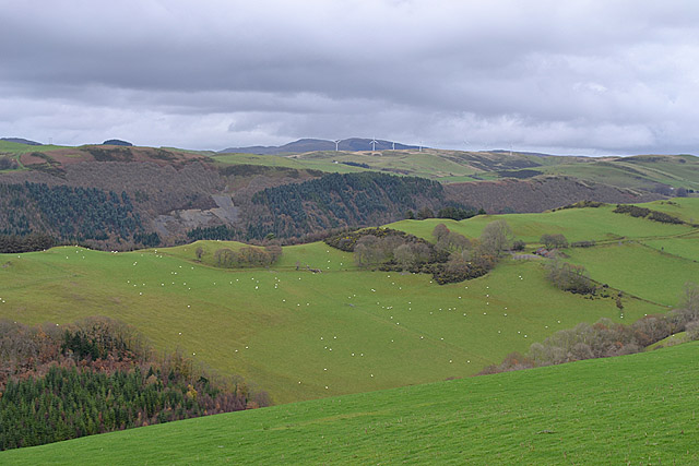
The downs of Allt y Geufron are characterized by their gently sloping hills and grassy plains, providing breathtaking panoramic views of the surrounding area. These rolling hills are covered in a rich tapestry of vibrant wildflowers, creating a stunning display of colors during the spring and summer months. The moorland, on the other hand, offers a more rugged and untamed landscape, with its heather-covered hills and rocky outcrops. Visitors can explore the moors through a network of well-maintained footpaths, offering ample opportunities for hiking and nature walks.
The area is also known for its diverse wildlife, with a wide array of bird species, such as red kites, kestrels, and skylarks, soaring through the skies above. It is not uncommon to spot small mammals like rabbits and squirrels scurrying around, or even catch a glimpse of larger animals like deer or ponies grazing in the distance.
Allt y Geufron is a haven for nature enthusiasts and outdoor adventurers alike. With its breathtaking vistas, diverse flora and fauna, and peaceful atmosphere, it truly embodies the natural beauty and charm of Cardiganshire.
If you have any feedback on the listing, please let us know in the comments section below.
Allt y Geufron Images
Images are sourced within 2km of 52.388514/-3.922872 or Grid Reference SN6978. Thanks to Geograph Open Source API. All images are credited.
![Allt Ty-cam [hill] With Neuadd Parc Farm visible, bottom left. Viewed from Aberffrwd.](https://s0.geograph.org.uk/geophotos/07/15/30/7153040_c11e42e7.jpg)


Allt y Geufron is located at Grid Ref: SN6978 (Lat: 52.388514, Lng: -3.922872)
Unitary Authority: Ceredigion
Police Authority: Dyfed Powys
What 3 Words
///included.daffodils.projects. Near Llanilar, Ceredigion
Nearby Locations
Related Wikis

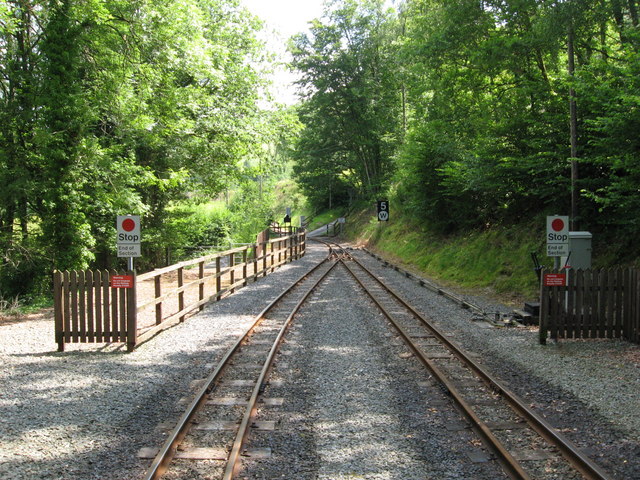
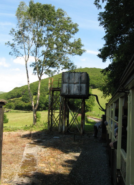
Aberffrwd railway station
Aberffrwd railway station is a railway station serving Aberffrwd in Ceredigion in Mid-Wales, and is an intermediate stop on the preserved Vale of Rheidol...

Aberffrwd, Ceredigion
Aberffrwd is a village in the Welsh principal area of Ceredigion. It has a railway station on the narrow-gauge Vale of Rheidol Railway, which was operated...

Ceredigion (Senedd constituency)
Ceredigion is a constituency of the Senedd. It elects one Member of the Senedd by the first past the post method of election. It is also one of eight constituencies...

Rheidol Falls railway station
Rheidol Falls railway station is a railway station serving Rheidol Falls in Ceredigion in Mid-Wales. It is an intermediate station and request stop on...
Nearby Amenities
Located within 500m of 52.388514,-3.922872Have you been to Allt y Geufron?
Leave your review of Allt y Geufron below (or comments, questions and feedback).