Ashridge Moor
Downs, Moorland in Devon West Devon
England
Ashridge Moor

Ashridge Moor is a picturesque area located in Devon, England. Nestled in the heart of the county, it offers a unique blend of downs and moorland landscapes. Spanning over vast acres, this area is renowned for its natural beauty and rich biodiversity.
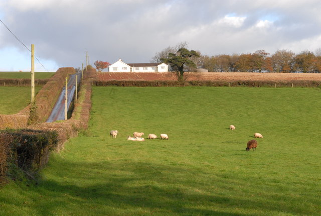
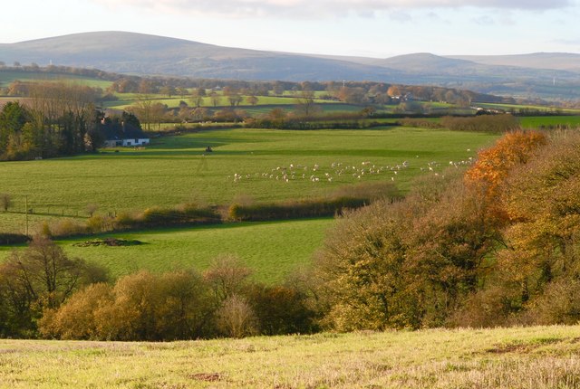
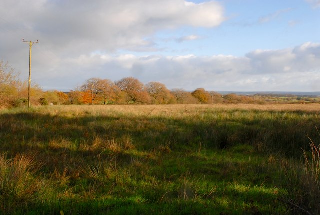
The moorland of Ashridge is characterized by its open expanses, covered with heather, gorse, and grasses. The undulating terrain creates a breathtaking panoramic view, especially during the flowering season when the moor is adorned with vibrant colors. The moorland is also home to a variety of wildlife, including birds, small mammals, and insects, making it a popular destination for nature enthusiasts and birdwatchers alike.
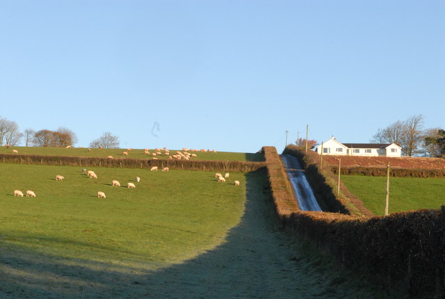
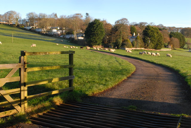
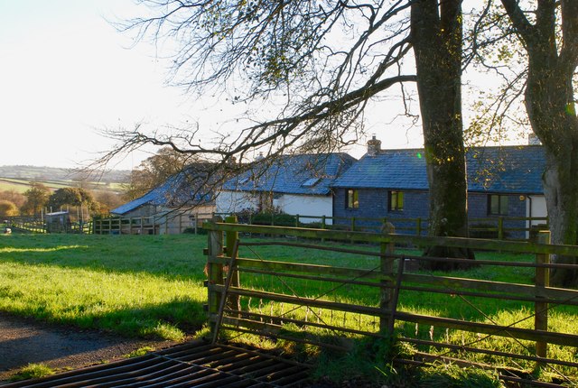
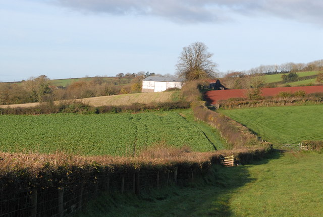
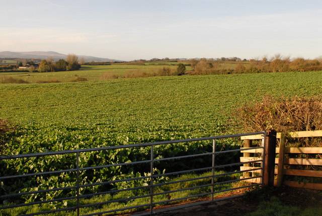
In contrast, the downs of Ashridge offer a more gentle and rolling landscape. Dotted with hedgerows, woodlands, and fields, they provide a tranquil and serene atmosphere. The downs are primarily used for grazing livestock, and visitors can often witness flocks of sheep peacefully grazing in the meadows.
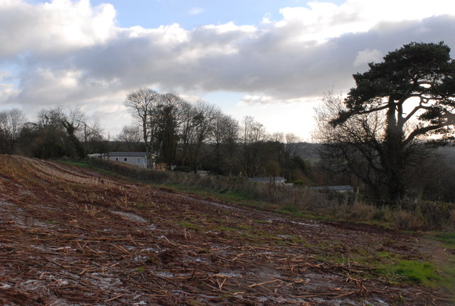
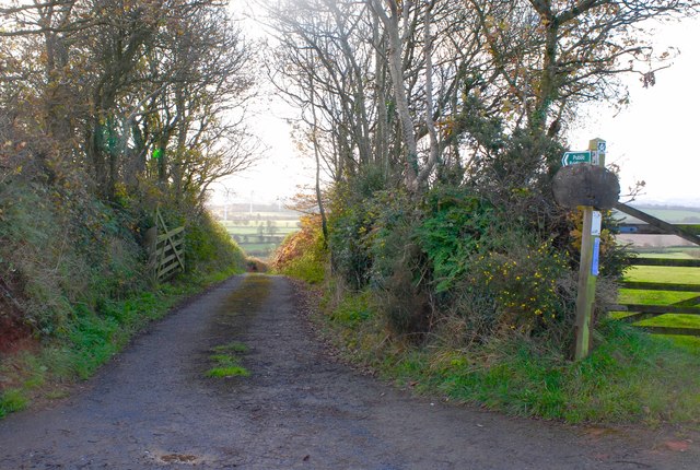
Ashridge Moor is a haven for outdoor activities such as walking, hiking, and cycling. There are numerous trails and footpaths that meander through the moor and downs, offering visitors the opportunity to explore the area's natural wonders. On clear days, the moorland also provides an excellent vantage point to admire the surrounding countryside and even catch a glimpse of the distant sea.
Overall, Ashridge Moor is a captivating destination that showcases the diverse landscapes of Devon. With its moorland and downs, it offers a blend of natural beauty, wildlife, and recreational activities, making it a must-visit for those seeking a peaceful and enriching experience in the heart of the county.
If you have any feedback on the listing, please let us know in the comments section below.
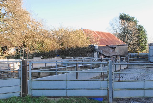
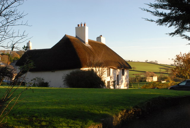
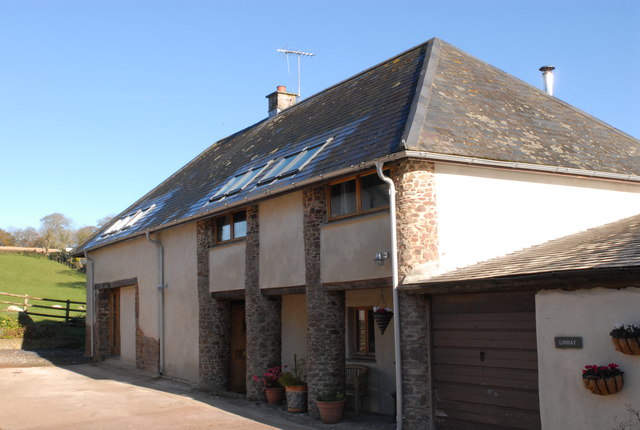
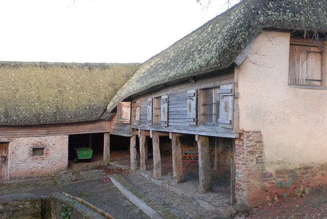
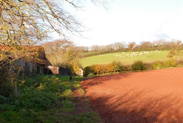
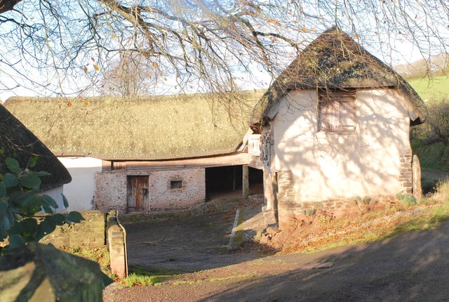
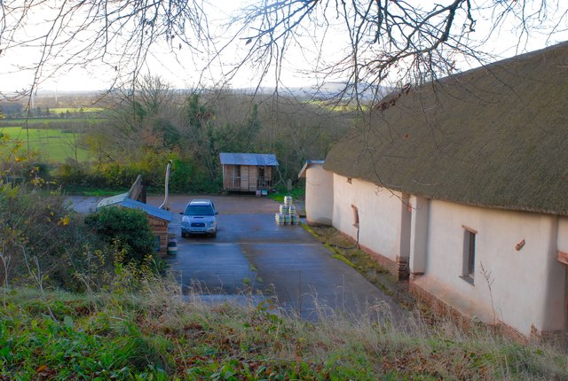
Ashridge Moor Images
Images are sourced within 2km of 50.816408/-3.8708219 or Grid Reference SS6803. Thanks to Geograph Open Source API. All images are credited.
Ashridge Moor is located at Grid Ref: SS6803 (Lat: 50.816408, Lng: -3.8708219)
Administrative County: Devon
District: West Devon
Police Authority: Devon and Cornwall
What 3 Words
///surround.flagging.splint. Near North Tawton, Devon
Nearby Locations
Related Wikis

Court Green
Court Green is a house on Essington Road in North Tawton, Devon, England. It was the home the poets Ted Hughes and Sylvia Plath moved to in late August...

North Tawton Town Hall
North Tawton Town Hall is a municipal building in The Square, North Tawton, Devon, England. The town hall, which is used for public events, is a Grade...
South West Peninsula
The South West Peninsula is the area of England between the Bristol Channel to the north and the English Channel to the south. It is part of the South...

North Tawton
North Tawton is a small town in Devon, England, situated on the river Taw. It is administered by West Devon Council. The population of the electoral...

Bondleigh
Bondleigh is a village and civil parish in the West Devon district of Devon, England, on the River Taw, north of North Tawton. According to the 2011 census...
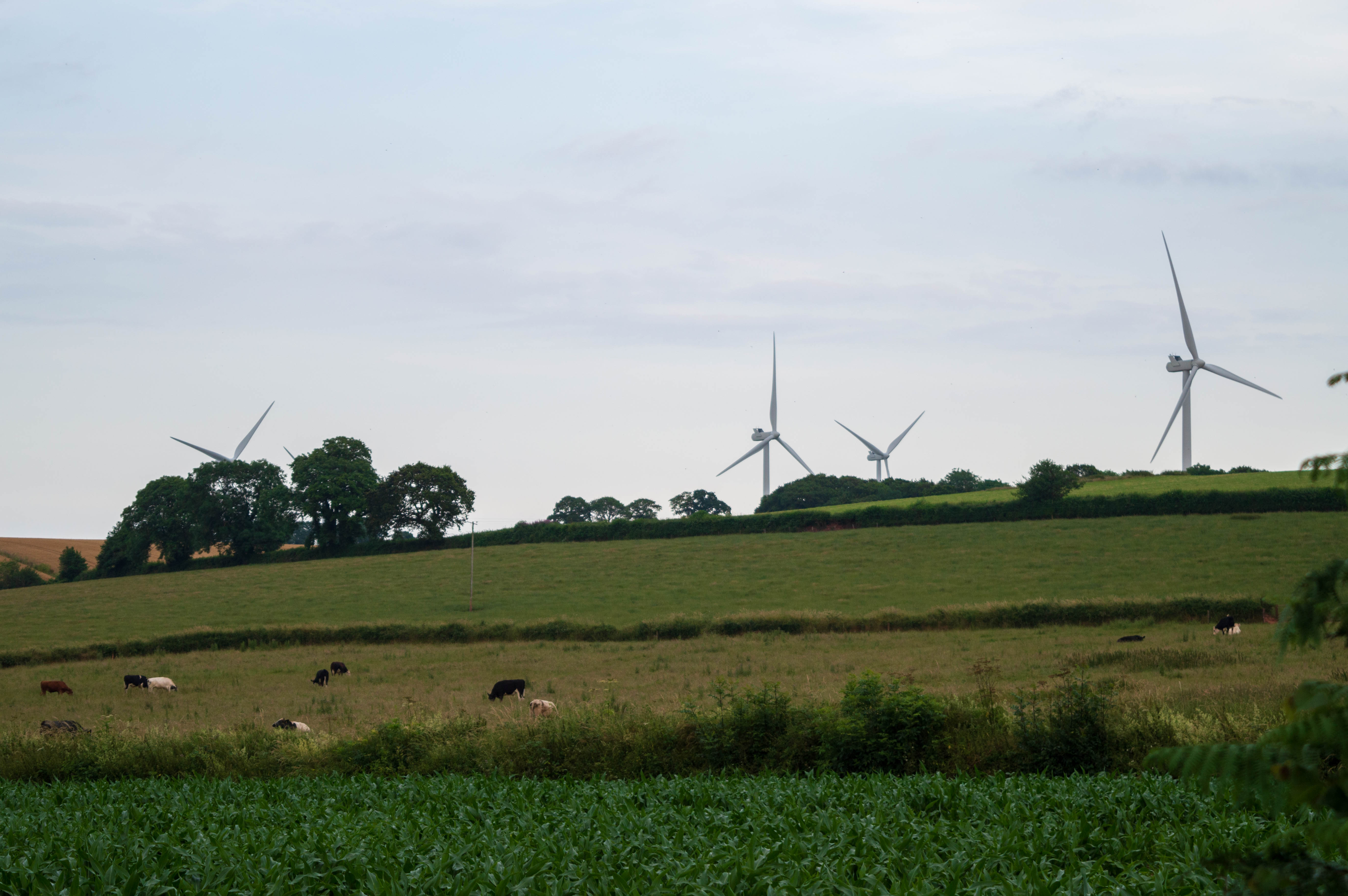
Den Brook Wind Farm
Den Brook Wind Farm is a windfarm in Devon, England. The windfarm is located 2 kilometres (1.2 mi) south-east of North Tawton and 2.5 kilometres (1.6 mi...

Zeal Monachorum
Zeal Monachorum (; Latin translation Cell of the Monks) is a village and civil parish in the Mid Devon district of Devon, England, about 18 miles (29 km...

North Tawton railway station
North Tawton railway station was a railway station serving the town of North Tawton in Devon, England. North Tawton lies on the River Taw. == History... ==
Nearby Amenities
Located within 500m of 50.816408,-3.8708219Have you been to Ashridge Moor?
Leave your review of Ashridge Moor below (or comments, questions and feedback).