Beoch Moor
Downs, Moorland in Kirkcudbrightshire
Scotland
Beoch Moor

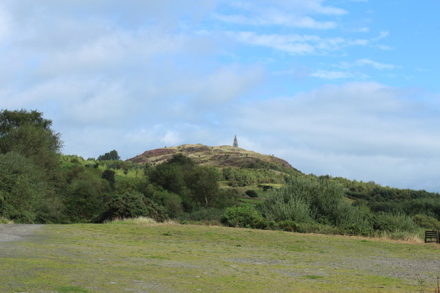
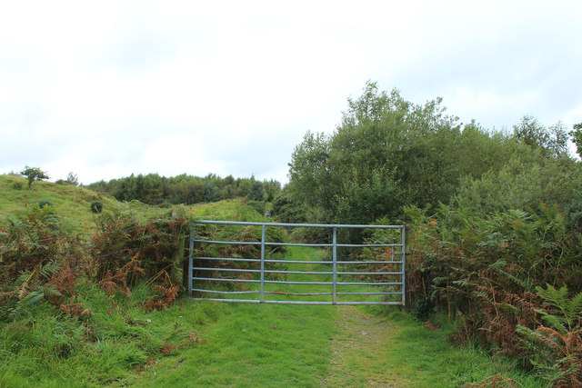
Beoch Moor is a picturesque and captivating expanse of moorland located in Kirkcudbrightshire, a historic county in southwest Scotland. Stretching across rolling hills and steep slopes, this stunning landscape covers an area of approximately 10 square kilometers. It can be found just a few kilometers northwest of the town of Gatehouse of Fleet, making it easily accessible to both locals and tourists alike.
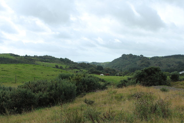
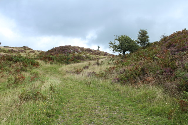
The moorland of Beoch Moor is characterized by its diverse and unique ecosystem. It is home to an array of plant and animal species, including heather, grasses, and wildflowers, which create a colorful tapestry across the moor. The area is also a birdwatcher's paradise, with species such as curlews, lapwings, and skylarks frequently spotted soaring through the skies.
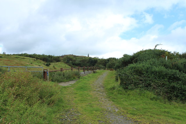
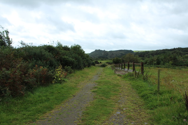
The terrain of Beoch Moor is varied and offers a delightful mix of gentle slopes and steeper inclines. This makes it an excellent destination for outdoor enthusiasts, including hikers and mountain bikers, who can explore the area's numerous trails and paths. The moorland also provides breathtaking panoramic views of the surrounding countryside, making it a popular spot for photographers and nature lovers seeking tranquility and inspiration.
Beoch Moor holds great historical significance as well. It is believed to have been inhabited by humans since ancient times, with traces of prehistoric settlements, including stone circles and burial mounds, found in the area. These remnants of the past add an extra layer of intrigue to the already enchanting moorland.
In summary, Beoch Moor is a captivating and diverse landscape in Kirkcudbrightshire, offering visitors a chance to immerse themselves in the beauty of nature while also exploring its rich historical heritage.
If you have any feedback on the listing, please let us know in the comments section below.
Beoch Moor Images
Images are sourced within 2km of 54.933134/-4.0570894 or Grid Reference NX6861. Thanks to Geograph Open Source API. All images are credited.


Beoch Moor is located at Grid Ref: NX6861 (Lat: 54.933134, Lng: -4.0570894)
Unitary Authority: Dumfries and Galloway
Police Authority: Dumfries and Galloway
What 3 Words
///splice.truffles.cake. Near Castle Douglas, Dumfries & Galloway
Nearby Locations
Related Wikis

Ringford
Ringford is a village in the historical county of Kirkcudbrightshire in Dumfries and Galloway located at grid reference NX689578 beside the Tarff Water...

Bridge of Dee railway station
Bridge of Dee railway station served the settlement of Bridge of Dee, Dumfries and Galloway, Scotland from 1864 to 1949 on the Kirkcudbright Railway....

Bridge of Dee, Galloway
Bridge of Dee, Galloway is a settlement on the River Dee, Galloway. It lies on the A75 just west of Castle Douglas, and north-east of Kirkcudbright. The...

Tarff railway station
Tarff railway station served the village of Ringford, Dumfries and Galloway, Scotland from 1864 to 1965 on the Kirkcudbright Railway. == History == The...

Glenlochar
Glenlochar (Gd: Gleann Lochair) is a hamlet on the western bank of the River Dee in the parish of Balmaghie in the historical county of Kirkcudbrightshire...

Threave Castle
Threave Castle is situated on an island in the River Dee, 2.5 kilometres (1.6 mi) west of Castle Douglas in the historical county of Kirkcudbrightshire...
Abbey Yard
Abbey Yard is a location in Dumfries and Galloway, Scotland. Abbey Yard is near Glenlochar in the historical county of Kirkcudbrightshire in the Dumfries...

Balmaghie
Balmaghie ( bal-mə-GEE), from the Scottish Gaelic Baile Mhic Aoidh, is an ecclesiastical and civil parish in the historical county of Kirkcudbrightshire...
Nearby Amenities
Located within 500m of 54.933134,-4.0570894Have you been to Beoch Moor?
Leave your review of Beoch Moor below (or comments, questions and feedback).