Badenoch
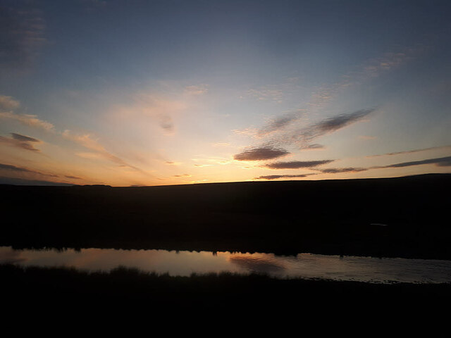
Downs, Moorland in Inverness-shire
Scotland
Badenoch

The requested URL returned error: 429 Too Many Requests
If you have any feedback on the listing, please let us know in the comments section below.
Badenoch Images
Images are sourced within 2km of 56.972877/-4.1727969 or Grid Reference NN6888. Thanks to Geograph Open Source API. All images are credited.


Badenoch is located at Grid Ref: NN6888 (Lat: 56.972877, Lng: -4.1727969)
Unitary Authority: Highland
Police Authority: Highlands and Islands
What 3 Words
///finer.hinders.scowls. Near Newtonmore, Highland
Nearby Locations
Related Wikis

Meall Chuaich
Meall Chuaich (951 m) is a mountain in the Grampian Mountains of Scotland, located east of the village of Dalwhinnie. Although the mountain lacks any distinctive...

Etteridge
Etteridge (Scottish Gaelic: Eadrais) is a small remote hamlet, situated close to Loch Etteridge in Inverness-shire, Scottish Highlands and is in the Scottish...
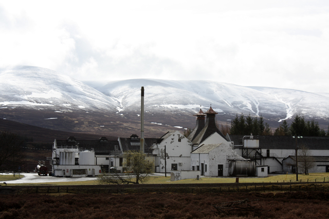
Dalwhinnie distillery
Dalwhinnie distillery, situated in the Highland village of Dalwhinnie in Scotland, produces single malt Scotch whisky. Whilst labelled as Highland, as...

Dalwhinnie
Dalwhinnie ( dal-WHIN-ee; Scottish Gaelic: Dail Chuinnidh "meeting place") is a small village in the Scottish Highlands. Dalwhinnie is located at the head...
Nearby Amenities
Located within 500m of 56.972877,-4.1727969Have you been to Badenoch?
Leave your review of Badenoch below (or comments, questions and feedback).