Cow Green
Downs, Moorland in Kirkcudbrightshire
Scotland
Cow Green

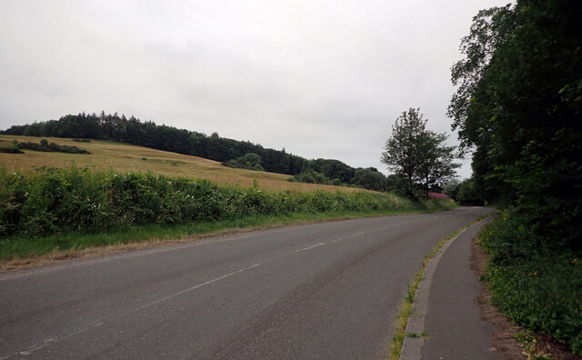
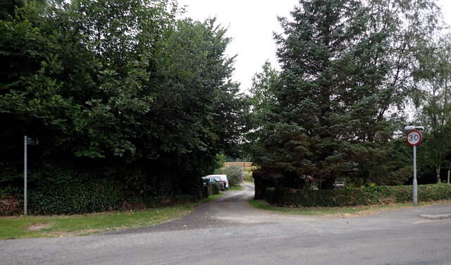
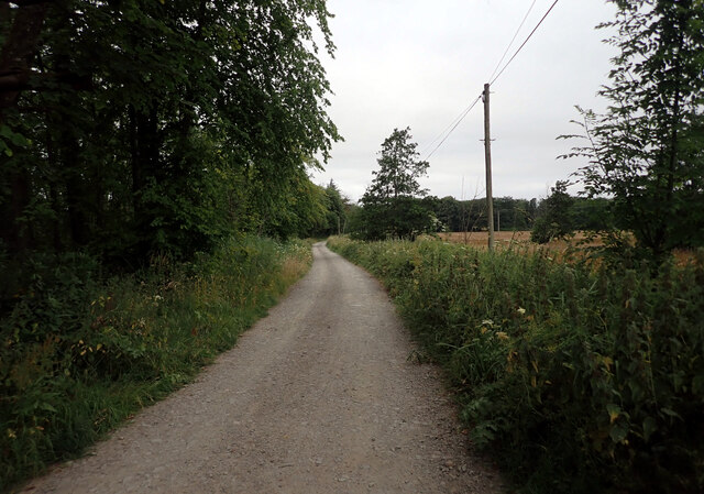
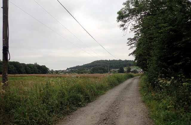
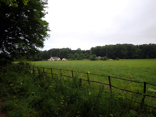
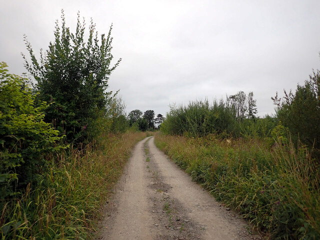
Cow Green is a picturesque area located in the region of Kirkcudbrightshire, Scotland. It is characterized by its vast expanses of downs and moorland, providing a breathtaking landscape for visitors and locals alike. The area is known for its natural beauty and serene atmosphere, making it a popular destination for nature enthusiasts and hikers.
The downs in Cow Green are rolling hills covered in lush green grass, offering stunning panoramic views of the surrounding countryside. These gentle slopes are often dotted with sheep, adding to the idyllic charm of the area. The moorland, on the other hand, is a more rugged terrain, characterized by heather and bracken, which creates a unique color palette of purple and green.
The area is home to a diverse range of wildlife, including birds, such as curlews and lapwings, as well as various mammals like deer and rabbits. Nature lovers can often spot these creatures while exploring the trails that crisscross through the downs and moorland.
Cow Green is also steeped in history, with remnants of ancient settlements and stone circles scattered throughout the landscape. These archaeological sites provide a glimpse into the area's past and add an intriguing element to any visit.
With its natural beauty, tranquil ambiance, and historical significance, Cow Green in Kirkcudbrightshire is a must-visit destination for those seeking a peaceful retreat or a chance to explore the wonders of the Scottish countryside.
If you have any feedback on the listing, please let us know in the comments section below.
Cow Green Images
Images are sourced within 2km of 54.823756/-4.061284 or Grid Reference NX6749. Thanks to Geograph Open Source API. All images are credited.


Cow Green is located at Grid Ref: NX6749 (Lat: 54.823756, Lng: -4.061284)
Unitary Authority: Dumfries and Galloway
Police Authority: Dumfries and Galloway
What 3 Words
///motorist.withdraws.thinkers. Near Kirkcudbright, Dumfries & Galloway
Nearby Locations
Related Wikis

St Cuthbert Wanderers F.C.
Saint Cuthbert Wanderers Football Club are a football club from the town of Kirkcudbright in the Stewartry in Galloway, Scotland. They play in the South...

Kirkcudbright
Kirkcudbright ( kur-KOO-bree; Scots: Kirkcoubrie; Scottish Gaelic: Cille Chùithbeirt) is a town, parish and a Royal Burgh from 1455 in Kirkcudbrightshire...
Kirkcudbright Castle
Kirkcudbright Castle, was a castle that was located on the banks of the River Dee, in Kirkcudbright, Scotland.A motte and bailey castle was built in the...
Kirkcudbright Academy
Kirkcudbright Academy is a state funded, six-year secondary school in Kirkcudbright, Scotland with about 400 pupils and 87 staff including teaching, support...
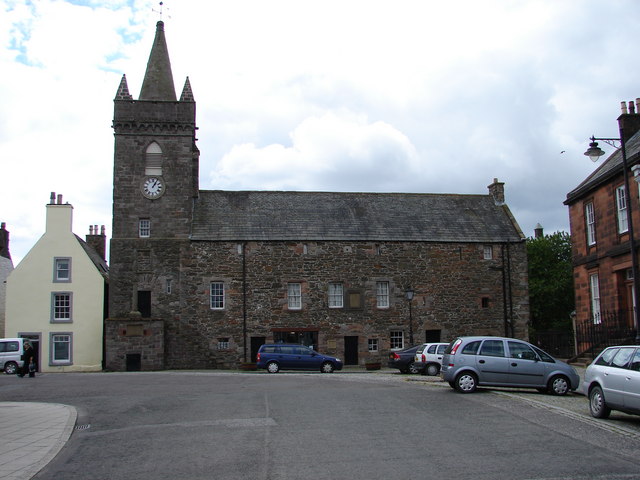
Kirkcudbright Tolbooth
Kirkcudbright Tolbooth is a historic municipal building in Kirkcudbright in Dumfries and Galloway, Scotland. Built between 1627 and 1629 to serve the town...

Kirkcudbright Hospital
Kirkcudbright Hospital is a health facility in Barrhill Road, Kirkcudbright, Dumfries and Galloway, Scotland. It is managed by NHS Dumfries and Galloway...

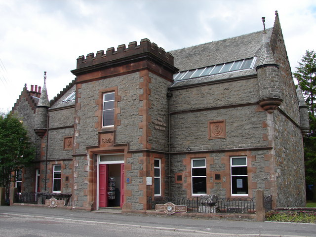
County Buildings, Kirkcudbright
County Buildings is a municipal building in Kirkcudbright, in the Dumfries and Galloway council area in Scotland. It was originally two houses on High...
Stewartry Museum
The Stewartry Museum is a local museum in Kirkcudbright, Scotland, which covers the history of this part of Galloway. == History == The museum was originally...
Nearby Amenities
Located within 500m of 54.823756,-4.061284Have you been to Cow Green?
Leave your review of Cow Green below (or comments, questions and feedback).