An Tom
Downs, Moorland in Perthshire
Scotland
An Tom

An Tom is a picturesque area located in Perthshire, Scotland, known for its stunning downs and moorland landscapes. Situated in the heart of the Scottish Highlands, it offers visitors a unique and untouched natural environment.
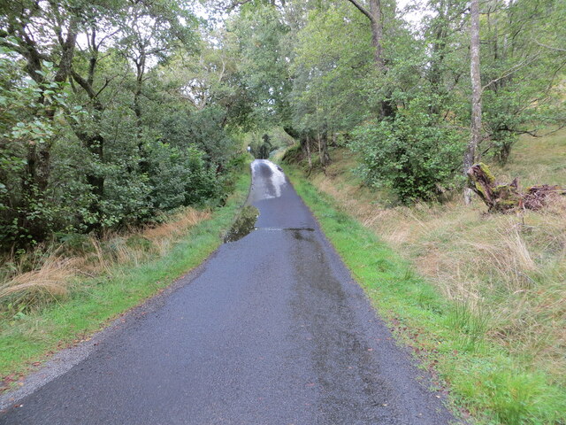
The downs of An Tom are characterized by rolling hills covered in lush green grasses and dotted with wildflowers during the spring and summer months. The area is frequented by hikers and nature enthusiasts who are drawn to the breathtaking panoramic views and the opportunity to explore the rugged terrain.
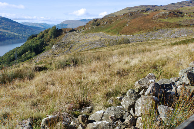
The moorland of An Tom is a vast expanse of open space, dominated by heather and peat bogs. This wild and untamed landscape is home to a variety of bird species, including grouse and golden eagles, making it a popular destination for birdwatchers.
The area is also rich in history and heritage, with several ancient archaeological sites scattered throughout. Visitors can explore ancient stone circles and burial mounds, providing a glimpse into the lives of early settlers in the area.
An Tom offers a range of outdoor activities for visitors to enjoy. Hiking, mountain biking, and horseback riding are popular pursuits, with numerous trails and paths to explore. Anglers can also take advantage of the area's rivers and lochs, which are known for their abundance of trout and salmon.
For those looking to escape the hustle and bustle of city life and immerse themselves in the natural beauty of the Scottish Highlands, An Tom in Perthshire is a must-visit destination.
If you have any feedback on the listing, please let us know in the comments section below.
An Tom Images
Images are sourced within 2km of 56.396714/-4.1635917 or Grid Reference NN6624. Thanks to Geograph Open Source API. All images are credited.


An Tom is located at Grid Ref: NN6624 (Lat: 56.396714, Lng: -4.1635917)
Unitary Authority: Perth and Kinross
Police Authority: Tayside
What 3 Words
///irritated.page.perfected. Near Comrie, Perth & Kinross
Nearby Locations
Related Wikis
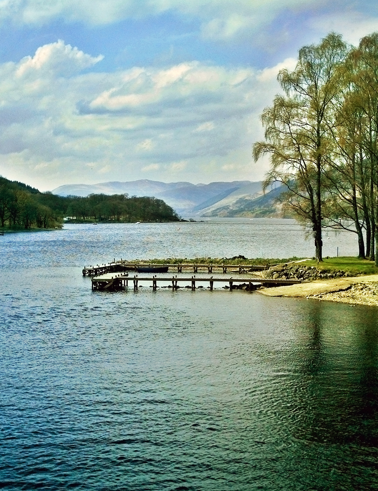
Loch Earn
Loch Earn (Scottish Gaelic, Loch Eire/Loch Éireann) is a freshwater loch in the southern highlands of Scotland, in the districts of Perth and Kinross and...

Neish Island
Neish Island is an island in Loch Earn, Scotland. == History == It is recorded that in 1490 James IV of Scotland ordered Lord Drummond to cast down the...
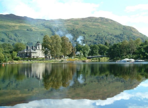
St Fillans
St Fillans is a village in Perthshire in the central highlands of Scotland, in the council area of Perth and Kinross. The village lies at the eastern end...

St Fillans railway station
St Fillans railway station served the village of St Fillans, in the historical county of Perthshire, Scotland, from 1901 to 1951 on the Lochearnhead, St...
Nearby Amenities
Located within 500m of 56.396714,-4.1635917Have you been to An Tom?
Leave your review of An Tom below (or comments, questions and feedback).