Braentrian
Downs, Moorland in Perthshire
Scotland
Braentrian

Braentrian is a picturesque village located in the region of Perthshire, Scotland. Situated on the downs and moorland, it enjoys a beautiful natural setting that attracts visitors from far and wide. The village is surrounded by rolling hills, lush green meadows, and expansive moorland, offering breathtaking views and a tranquil atmosphere.
The downs and moorland of Braentrian are characterized by their diverse flora and fauna. Visitors can expect to see a variety of wildflowers, such as heather and gorse, painting the landscape with vibrant colors. The area is also home to various bird species, including lapwings and red grouse, making it a haven for birdwatchers and nature enthusiasts.
In addition to its natural beauty, Braentrian boasts a rich history. The village is dotted with ancient stone circles and burial sites, providing glimpses into its past. The locals take great pride in their heritage and are often eager to share stories and legends about the area's history.
Despite its rural setting, Braentrian offers a range of amenities for residents and visitors alike. There are a few charming local shops and cafes where one can indulge in traditional Scottish cuisine and purchase unique souvenirs. The village also hosts several events throughout the year, including Highland games and music festivals, which showcase the region's cultural heritage.
Whether you are seeking a peaceful retreat in nature, an exploration of history, or a taste of Scottish hospitality, Braentrian, Perthshire, is a destination that offers all this and more.
If you have any feedback on the listing, please let us know in the comments section below.
Braentrian Images
Images are sourced within 2km of 56.477272/-4.1752873 or Grid Reference NN6633. Thanks to Geograph Open Source API. All images are credited.


Braentrian is located at Grid Ref: NN6633 (Lat: 56.477272, Lng: -4.1752873)
Unitary Authority: Stirling
Police Authority: Forth Valley
What 3 Words
///polygraph.frightens.slept. Near Comrie, Perth & Kinross
Nearby Locations
Related Wikis

Ardeonaig
Ardeonaig (Gaelic: Aird Eòdhanaig) is a hamlet on the southern shore of Loch Tay in the Stirling Council area of Scotland. It is approximately 7 miles...

Loch Tay
Loch Tay (Scottish Gaelic: Loch Tatha) is a freshwater loch in the central highlands of Scotland, in the Perth and Kinross and Stirling council areas....

Tomnadashan
Tomnadashan was a hamlet southwest of Ardtalnaig in Scotland. John Campbell, 2nd Marquess of Breadalbane tried to mine copper, gold, and sulphur there...

Lawers
Lawers is a village situated in rural Perthshire, Scotland. It lies on the banks of Loch Tay and at the foot of Ben Lawers. It was once part of a vibrant...

Ardtalnaig
Ardtalnaig (; Àird Talanaig) is a hamlet on the south shore of Loch Tay in Perth and Kinross in Scotland. It is approximately 6 miles (10 km) from Kenmore...

Beinn Ghlas
Beinn Ghlas is a mountain in the Breadalbane region of the Scottish Highlands. It lies on the north shore of Loch Tay and is part of the Ben Lawers Range...
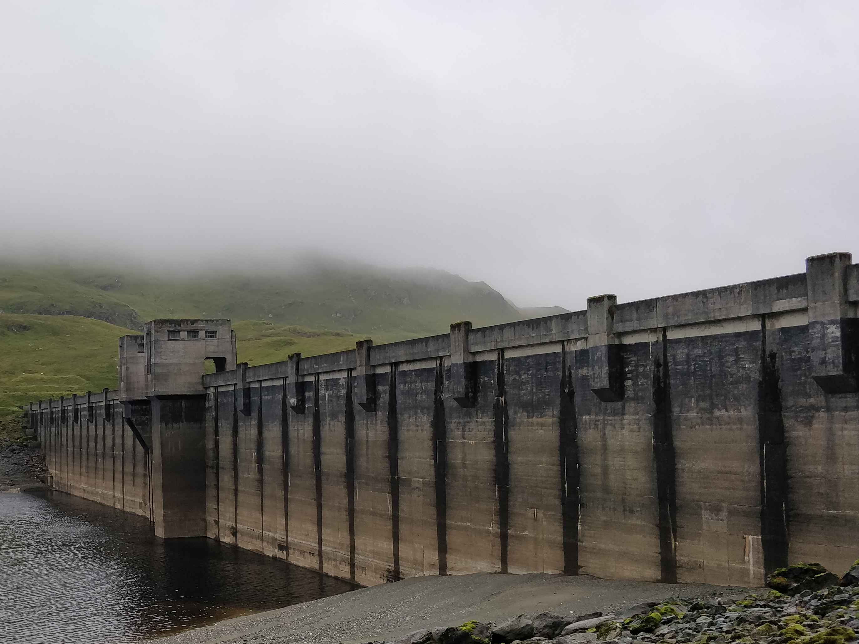
Breadalbane Hydro-Electric Scheme
The Breadalbane Hydro-Electric Scheme is a hydroelectric scheme in the Breadalbane area of Perthshire, Scotland. It comprises seven power stations which...

Rob Roy Way
The Rob Roy Way is a Scottish long distance footpath that runs from Drymen in Stirling to Pitlochry in Perth and Kinross. The path was created in 2002...
Nearby Amenities
Located within 500m of 56.477272,-4.1752873Have you been to Braentrian?
Leave your review of Braentrian below (or comments, questions and feedback).