Barloke Moss

Downs, Moorland in Kirkcudbrightshire

Scotland

Barloke Moss

Path, St. Mary's Isle, Kirkcudbright St Mary's Isle in a peninsula in the estuary of the River Dee to the south of Kirkcudbright. It lies between Manxman's Lake and Goat Well Bay. At low tide it is about 1.75km long and 550m wide at its widest. The tidal island of Inch lies to its south off Point of the Isle. There was an Augustinian Priory on the Isle between the 12th and 16th centuries; all traces of it were removed when the Earls of Selkirk landscaped the Isle in the 17th and 18th centuries.
Path, St. Mary's Isle, Kirkcudbright Credit: habiloid

Barloke Moss is a captivating moorland located in the region of Kirkcudbrightshire, Scotland. Situated in the picturesque countryside, it spans across an area that encompasses downs and moorland.

The moss is characterized by its vast expanse of lush greenery, which is interspersed with patches of heather and gorse. The landscape is predominantly flat, with gentle undulations adding to its charm. This unique topography provides a serene and tranquil environment for visitors to immerse themselves in the beauty of nature.

Barloke Moss is home to a diverse range of flora and fauna. The moss itself is carpeted with a variety of mosses, lichens, and grasses, which thrive in the moist and nutrient-rich soil. This fertile habitat attracts a wide array of wildlife, including various bird species, such as curlews, lapwings, and red grouse. The moorland also serves as a breeding ground for several species of insects and butterflies.

The moss offers an idyllic setting for outdoor enthusiasts to explore and engage in various activities. Nature lovers can partake in leisurely walks, taking in the panoramic views and observing the abundant wildlife. The moss is also a popular spot for birdwatching, with its diverse avian population providing ample opportunities for bird enthusiasts.

Overall, Barloke Moss, with its stunning downs and moorland, is a captivating destination that showcases the natural beauty and biodiversity of Kirkcudbrightshire. It offers visitors a chance to escape the hustle and bustle of urban life and immerse themselves in the tranquility of nature.

If you have any feedback on the listing, please let us know in the comments section below.
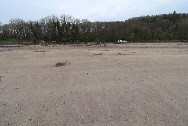
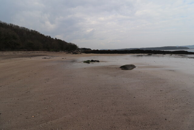
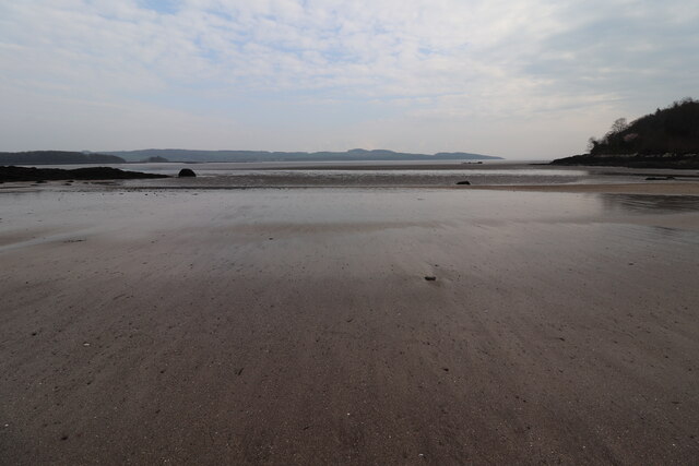
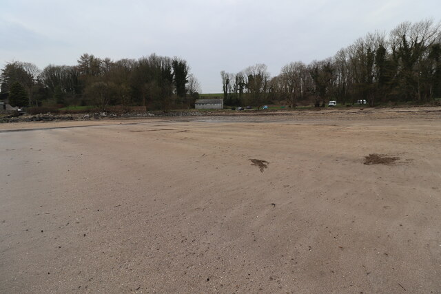
Barloke Moss Images

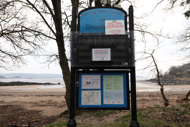
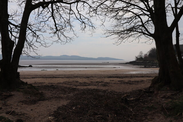
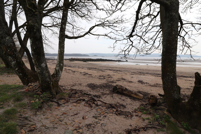
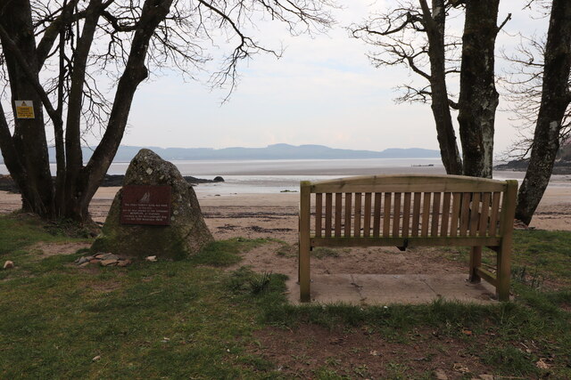
Images are sourced within 2km of 54.805989/-4.0972735 or Grid Reference NX6547. Thanks to Geograph Open Source API. All images are credited.

Path, St. Mary's Isle, Kirkcudbright St Mary's Isle in a peninsula in the estuary of the River Dee to the south of Kirkcudbright. It lies between Manxman's Lake and Goat Well Bay. At low tide it is about 1.75km long and 550m wide at its widest. The tidal island of Inch lies to its south off Point of the Isle. There was an Augustinian Priory on the Isle between the 12th and 16th centuries; all traces of it were removed when the Earls of Selkirk landscaped the Isle in the 17th and 18th centuries.
Path, St. Mary's Isle, Kirkcudbright
St Mary's Isle in a peninsula in the estuary of the River Dee to the south of Kirkcudbright. It lies between Manxman's Lake and Goat Well Bay. At low tide it is about 1.75km long and 550m wide at its widest. The tidal island of Inch lies to its south off Point of the Isle. There was an Augustinian Priory on the Isle between the 12th and 16th centuries; all traces of it were removed when the Earls of Selkirk landscaped the Isle in the 17th and 18th centuries.
The Dee estuary seen from Point Of Isle, St. Mary's Isle, Kirkcudbright St Mary's Isle in a peninsula in the estuary of the River Dee to the south of Kirkcudbright. It lies between Manxman's Lake and Goat Well Bay. At low tide it is about 1.75km long and 550m wide at its widest. The tidal island of Inch lies to its south off Point of the Isle. There was an Augustinian Priory on the Isle between the 12th and 16th centuries; all traces of it were removed when the Earls of Selkirk landscaped the Isle in the 17th and 18th centuries.
The Dee estuary seen from Point Of Isle, St. Mary's Isle, Kirkcudbright
St Mary's Isle in a peninsula in the estuary of the River Dee to the south of Kirkcudbright. It lies between Manxman's Lake and Goat Well Bay. At low tide it is about 1.75km long and 550m wide at its widest. The tidal island of Inch lies to its south off Point of the Isle. There was an Augustinian Priory on the Isle between the 12th and 16th centuries; all traces of it were removed when the Earls of Selkirk landscaped the Isle in the 17th and 18th centuries.
Woodland path, St. Mary's Isle, Kirkcudbright St Mary's Isle in a peninsula in the estuary of the River Dee to the south of Kirkcudbright. It lies between Manxman's Lake and Goat Well Bay. At low tide it is about 1.75km long and 550m wide at its widest. The tidal island of Inch lies to its south off Point of the Isle. There was an Augustinian Priory on the Isle between the 12th and 16th centuries; all traces of it were removed when the Earls of Selkirk landscaped the Isle in the 17th and 18th centuries.
Woodland path, St. Mary's Isle, Kirkcudbright
St Mary's Isle in a peninsula in the estuary of the River Dee to the south of Kirkcudbright. It lies between Manxman's Lake and Goat Well Bay. At low tide it is about 1.75km long and 550m wide at its widest. The tidal island of Inch lies to its south off Point of the Isle. There was an Augustinian Priory on the Isle between the 12th and 16th centuries; all traces of it were removed when the Earls of Selkirk landscaped the Isle in the 17th and 18th centuries.
Remains of a slipway into the River Dee, St. Mary's Isle, Kirkcudbright St Mary's Isle in a peninsula in the estuary of the River Dee to the south of Kirkcudbright. It lies between Manxman's Lake and Goat Well Bay. At low tide it is about 1.75km long and 550m wide at its widest. The tidal island of Inch lies to its south off Point of the Isle. There was an Augustinian Priory on the Isle between the 12th and 16th centuries; all traces of it were removed when the Earls of Selkirk landscaped the Isle in the 17th and 18th centuries.
Remains of a slipway into the River Dee, St. Mary's Isle, Kirkcudbright
St Mary's Isle in a peninsula in the estuary of the River Dee to the south of Kirkcudbright. It lies between Manxman's Lake and Goat Well Bay. At low tide it is about 1.75km long and 550m wide at its widest. The tidal island of Inch lies to its south off Point of the Isle. There was an Augustinian Priory on the Isle between the 12th and 16th centuries; all traces of it were removed when the Earls of Selkirk landscaped the Isle in the 17th and 18th centuries.
High Nunton
High Nunton
Path to High Nunton Trees at High Nunton are on the horizon.
Path to High Nunton
Trees at High Nunton are on the horizon.
Dhoon Beach At Nun Mill Bay just off the B727.
Dhoon Beach
At Nun Mill Bay just off the B727.
Rocks at Dhoon Beach At Nun Mill Bay just off the B727.
Rocks at Dhoon Beach
At Nun Mill Bay just off the B727.
Dhoon Beach At Nun Mill Bay.
Dhoon Beach
At Nun Mill Bay.
Dhoon Beach At Nun Mill Bay just off the B727. In the centre is the toilet block at Dhoon Beach.
Dhoon Beach
At Nun Mill Bay just off the B727. In the centre is the toilet block at Dhoon Beach.
Warning Signs at Dhoon Beach Mainly about Dead Man's Fingers which has been washed up at the shore and is Poisonous.
Warning Signs at Dhoon Beach
Mainly about Dead Man's Fingers which has been washed up at the shore and is Poisonous.
Dhoon Beach At Nun Mill Bay just off the B727.
Dhoon Beach
At Nun Mill Bay just off the B727.
Dhoon Beach At Nun Mill Bay just off the B727.
Dhoon Beach
At Nun Mill Bay just off the B727.
Memorial Stone and Seat, Dhoon Beach Stone is about the Schooner "Monreith" wrecked here in 1900.
Memorial Stone and Seat, Dhoon Beach
Stone is about the Schooner "Monreith" wrecked here in 1900.
History of the Schooner "Monreith" Wrecked here on 12th November 1900. It's timbers are still visible at low tide.
History of the Schooner "Monreith"
Wrecked here on 12th November 1900. It's timbers are still visible at low tide.
Wreck at Nun Mill Bay Timbers of the Schooner "Monreith" wrecked on the 12th November 1900.
Wreck at Nun Mill Bay
Timbers of the Schooner "Monreith" wrecked on the 12th November 1900.
Show me another place!

Barloke Moss is located at Grid Ref: NX6547 (Lat: 54.805989, Lng: -4.0972735)

Unitary Authority: Dumfries and Galloway

Police Authority: Dumfries and Galloway

What 3 Words

///unloaded.cages.expose. Near Kirkcudbright, Dumfries & Galloway

Related Wikis

River Dee, Galloway

The River Dee (Scottish Gaelic: Dè / Uisge Dhè), in south-west Scotland, flows from its source in Loch Dee amongst the Galloway Hills, firstly to Clatteringshaws...

Borgue Old House

Borgue Old House is a ruined Y-plan house, about 300 metres (0.2 mi) east of Borgue in Dumfries and Galloway, Scotland. Built in 1680, but probably incorporating...

Borgue, Dumfries and Galloway

Borgue (pronounced /ˈbɔrɡ/; Scottish Gaelic: Borgh) is a village and parish in the Stewartry of Kirkcudbright in Dumfries and Galloway, Scotland. It lies...

St Cuthbert Wanderers F.C.

Saint Cuthbert Wanderers Football Club are a football club from the town of Kirkcudbright in the Stewartry in Galloway, Scotland. They play in the South...

Nearby Amenities

Located within 500m of 54.805989,-4.0972735
The data included in this document is from www.openstreetmap.org. The data is made available under ODbL.

Have you been to Barloke Moss?

Leave your review of Barloke Moss below (or comments, questions and feedback).