Cors Gwaun y Gwiail

Downs, Moorland in Caernarfonshire

Wales

Cors Gwaun y Gwiail

Stile and dog gate at the start of footpath, Gwernydd
Stile and dog gate at the start of footpath, Gwernydd Credit: Meirion

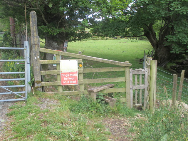
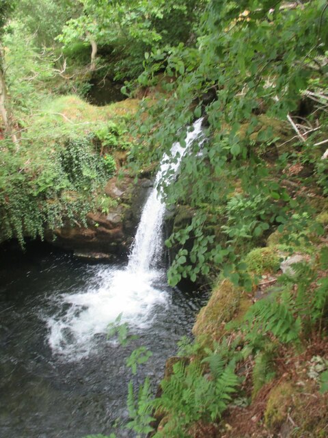
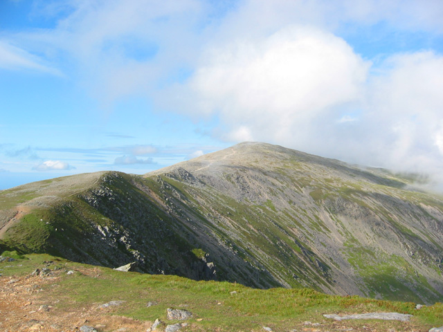
Cors Gwaun y Gwiail is a stunning area located in the county of Caernarfonshire, Wales. It is known for its vast expanse of downs and moorland, offering visitors a truly captivating natural landscape. Spanning approximately 200 acres, Cors Gwaun y Gwiail is a significant conservation area, rich in biodiversity and home to a wide range of flora and fauna.

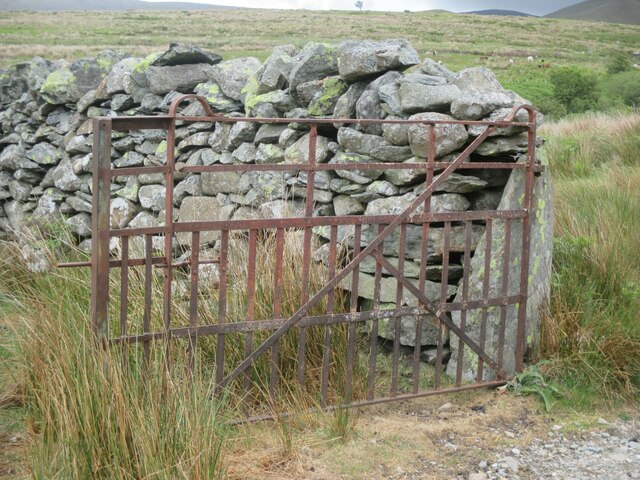
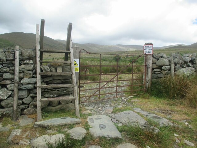
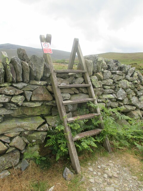
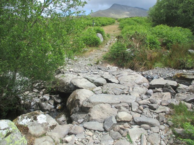
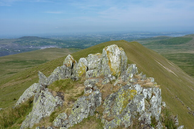
The downs of Cors Gwaun y Gwiail are characterized by their gently rolling hills and wide open spaces. These grassy areas are ideal for walking, picnicking, and enjoying the panoramic views of the surrounding countryside. The moorland, on the other hand, presents a more rugged and wild terrain, with heather-covered hills and peat bogs creating a unique and atmospheric landscape.

Visitors to Cors Gwaun y Gwiail can expect to encounter a variety of plant species, including heather, bilberry, and cotton grass. The area is also teeming with wildlife, with numerous bird species, such as red grouse and skylarks, making their homes here. Additionally, the moorland provides a habitat for various species of insects and small mammals.

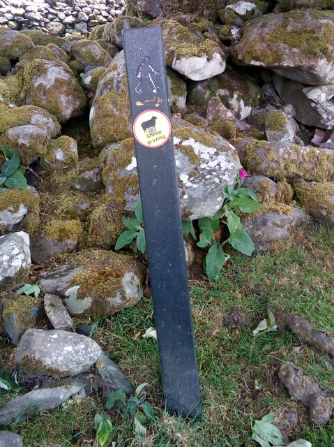
The conservation efforts in Cors Gwaun y Gwiail aim to preserve the natural beauty and biodiversity of the area. This includes sustainable land management practices, such as controlled grazing and the restoration of peat bogs. As a result, Cors Gwaun y Gwiail has become a haven for nature enthusiasts, offering a tranquil and untouched environment for all to enjoy.

If you have any feedback on the listing, please let us know in the comments section below.

Cors Gwaun y Gwiail Images

Images are sourced within 2km of 53.171668/-4.0170752 or Grid Reference SH6565. Thanks to Geograph Open Source API. All images are credited.

Stile and dog gate at the start of footpath, Gwernydd
Waymark post on footpath, Gwernydd Sheep grazing
Waymark post on footpath, Gwernydd
Sheep grazing
Old gate between fields, Gwernydd
Stile and gate, Gwernydd
Stile over wall, Gwernydd
Stone slab footbridge over stream, Gwernydd
Waterfall on Afon Caseg, Gwernydd
Pont Gwaun-y-gwiail on the road out of Bethesda A rather fine single span stone bridge over the Afon Caseg, which flows down from the Black Ladders under Carnedd Dafydd.
Pont Gwaun-y-gwiail on the road out of Bethesda
A rather fine single span stone bridge over the Afon Caseg, which flows down from the Black Ladders under Carnedd Dafydd.
Track and stone walls above Gerlan On the route from Gerlan up towards the 'back' of the Carneddau hills.
Track and stone walls above Gerlan
On the route from Gerlan up towards the 'back' of the Carneddau hills.
Derelict barn or farm building above Gerlan Judging by the size of the stones, and the effort put into building this place, it was once a viable hill farm.
Derelict barn or farm building above Gerlan
Judging by the size of the stones, and the effort put into building this place, it was once a viable hill farm.
Clapper or stone-slab footbridge Bridging a minor stream, the Afon Cenllusg, that flows off the moors above Gwernydd.
Clapper or stone-slab footbridge
Bridging a minor stream, the Afon Cenllusg, that flows off the moors above Gwernydd.
Large sheepfold on the northern bank of the Afon Llafar One of several substantial sheepfolds in the valley of the Llafar
Large sheepfold on the northern bank of the Afon Llafar
One of several substantial sheepfolds in the valley of the Llafar
Four-segment sheepfold above the Afon Llafar A rather unusual post-medieval sheepfold (probably 18th century at a guess) on the north bank of the stream that drains Cwm Llafar. It consists of 4 separate chambers, presumably with sheep-creeps between them, but looks to be rather derelict now
Four-segment sheepfold above the Afon Llafar
A rather unusual post-medieval sheepfold (probably 18th century at a guess) on the north bank of the stream that drains Cwm Llafar. It consists of 4 separate chambers, presumably with sheep-creeps between them, but looks to be rather derelict now
Downhill to the Afon Llafar
Incipient path on Mynydd Du A sheep-track, or more likely the beginnings of a walkers' path, heading up Mynydd Du from the footpaths below in the valley of the Afon Llafar.
Incipient path on Mynydd Du
A sheep-track, or more likely the beginnings of a walkers' path, heading up Mynydd Du from the footpaths below in the valley of the Afon Llafar.
Downhill view on Mynydd Du Looking down the 'ridge' of the pleasant stroll up Mynydd Du, with Bethesda town just on the edge of the moors, and the coastal plain stretching towards Bangor in the haze beyond.
Downhill view on Mynydd Du
Looking down the 'ridge' of the pleasant stroll up Mynydd Du, with Bethesda town just on the edge of the moors, and the coastal plain stretching towards Bangor in the haze beyond.
Rocks and the steep NE face of Mynydd Du The steep slope beyond drops down into Cwm Pen-llafar on the right, about 600ft below
Rocks and the steep NE face of Mynydd Du
The steep slope beyond drops down into Cwm Pen-llafar on the right, about 600ft below
Rocky outcrop on the ridge of Mynydd Du This is a slightly different view of the same set of rocks shown in <a href="https://www.geograph.org.uk/photo/5159020">SH6564 : Rocky outcrops on the Mynydd Du ridge</a>
Rocky outcrop on the ridge of Mynydd Du
This is a slightly different view of the same set of rocks shown in SH6564 : Rocky outcrops on the Mynydd Du ridge
Show me another place!

Cors Gwaun y Gwiail is located at Grid Ref: SH6565 (Lat: 53.171668, Lng: -4.0170752)

Unitary Authority: Gwynedd

Police Authority: North Wales

What 3 Words

///melts.horns.newer. Near Bethesda, Gwynedd

Nearby Locations

Cors Gwaun y Gwiail

Related Wikis

Yr Elen

Yr Elen is a mountain in the Carneddau range in Snowdonia, Wales. It is the ninth highest mountain in Snowdonia. The average annual temperature of the...

Cwm Caseg

Cwm Caseg is a broad glacial valley in Snowdonia leading west from the Carneddau towards Bethesda. It is bordered by Carnedd Llewelyn to the southeast...

Afon Llafar

For the river which flows into Bala Lake see Afon Llafar (Dee)Afon Llafar is a river in the Carneddau, Snowdonia. It rises where many streams flow down...

Bethesda Athletic F.C.

Bethesda Athletic F.C. (; Welsh: [bɛθ'ɛsda]) is a football club based in the Welsh town of Bethesda, in northwest Wales. They play in the Ardal NW which...

Welsh 1000 m Peaks Race

The Welsh 1000m Peaks Race takes place on the first Saturday in June each year. The 32 km route is also known as the Snowdonia Summits Marathon as competitors...

Foel Meirch

Foel Meirch is a top of Carnedd Dafydd in the Carneddau range in Snowdonia, North Wales. It offers commanding views of Carnedd Llewelyn and Yr Elen, and...

Carnedd Dafydd

Carnedd Dafydd is a mountain peak in the Carneddau range in Snowdonia, Wales, and is the third highest peak in Wales, or the fourth if Crib y Ddysgl on...

Bethesda, Gwynedd

Bethesda (; Welsh: [bɛθ'ɛsda]) is a town and community in Gwynedd, Wales. It is on the banks of Afon Ogwen and on the edge of Snowdonia. It is 5 miles...

Nearby Amenities

Located within 500m of 53.171668,-4.0170752
The data included in this document is from www.openstreetmap.org. The data is made available under ODbL.

Have you been to Cors Gwaun y Gwiail?

Leave your review of Cors Gwaun y Gwiail below (or comments, questions and feedback).