Birchford Moss

Downs, Moorland in Kirkcudbrightshire

Scotland

Birchford Moss

Upstream, Spout Burn and Larks Plantation
Upstream, Spout Burn and Larks Plantation Credit: Kirsty Smith

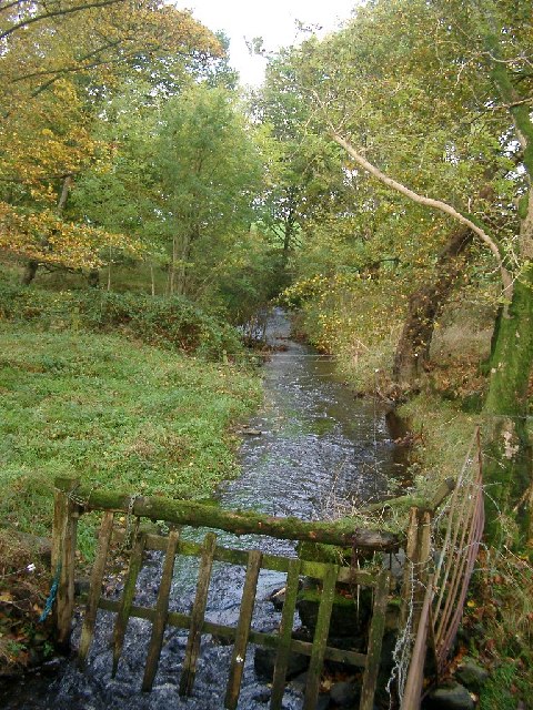
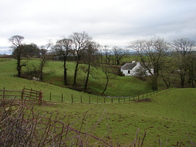
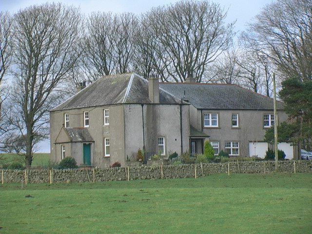
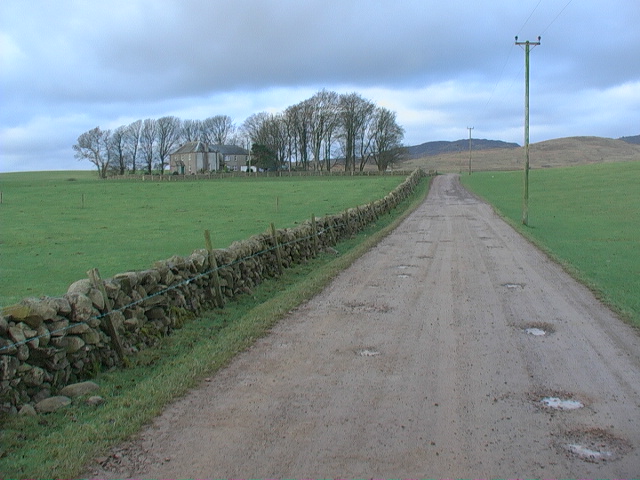
Birchford Moss, located in Kirkcudbrightshire, is a vast expanse of downs and moorland that stretches across the southwest region of Scotland. Covering an area of approximately 500 acres, it is renowned for its unique and diverse ecosystem.

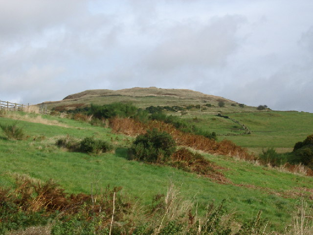
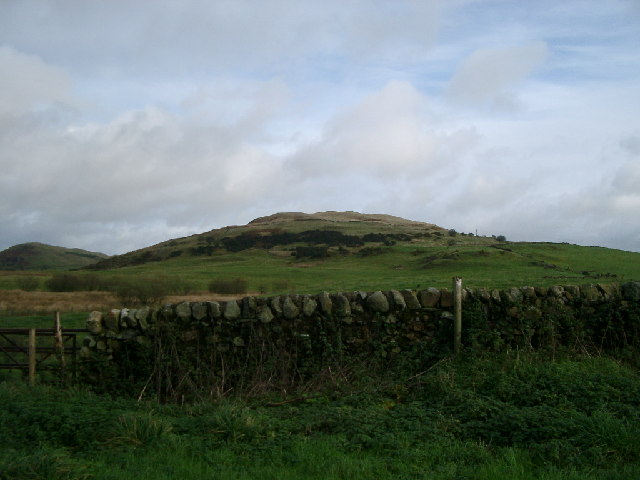
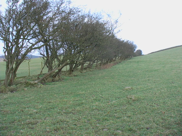
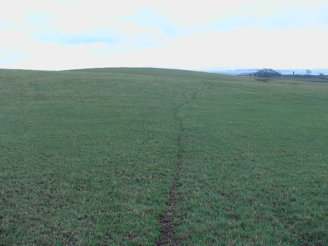
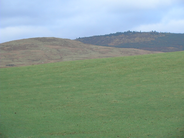
The moss is characterized by gently rolling hills covered in heather, gorse, and bracken, creating a picturesque landscape that changes dramatically throughout the seasons. In the spring and summer, the moorland is a vivid carpet of purple and yellow as the heather and gorse bloom, attracting a variety of bird species and insects.

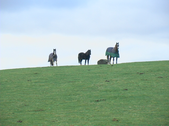
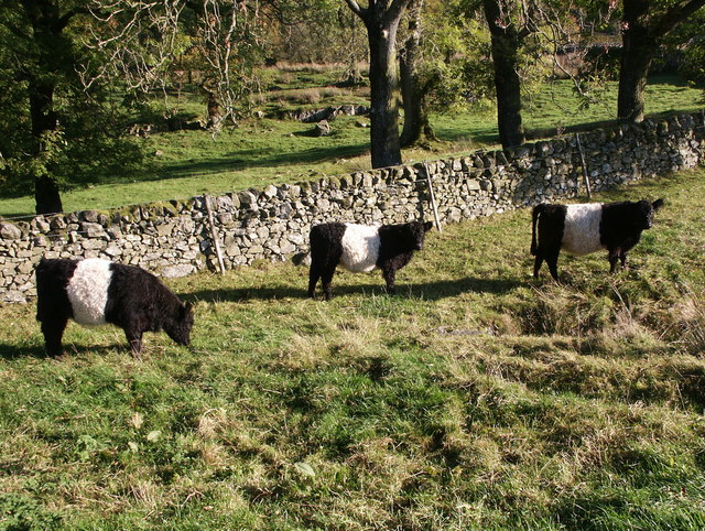
The area is a haven for wildlife enthusiasts and birdwatchers, as it is home to a rich assortment of avian species. Visitors may catch sight of the elusive hen harrier, peregrine falcon, or red grouse, among others. The moss also supports a population of red deer, rabbits, and other small mammals.

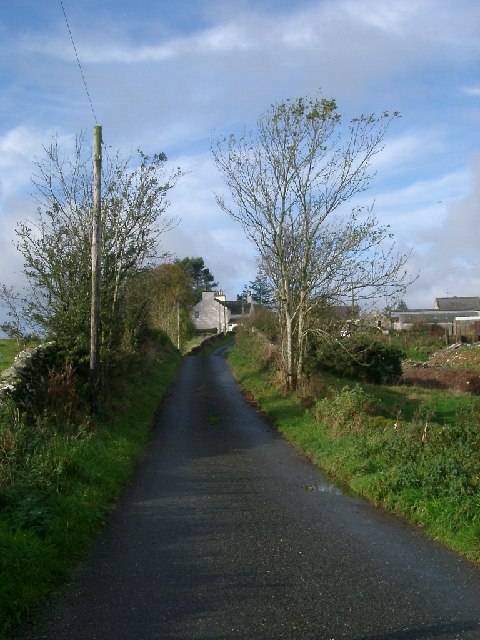
Birchford Moss is crisscrossed by a network of footpaths and trails, ideal for hikers and nature lovers who wish to explore the area's natural beauty. These paths offer breathtaking views of the surrounding countryside, including the nearby hills and lochs.

The moss is managed by local conservation organizations in partnership with the government to preserve its unique ecosystem and promote sustainable land use practices. This includes controlled burning to maintain the moorland habitat and prevent the spread of invasive species.

Overall, Birchford Moss in Kirkcudbrightshire offers visitors a chance to immerse themselves in the tranquility of the Scottish countryside, while also providing valuable habitat for a diverse range of wildlife.

If you have any feedback on the listing, please let us know in the comments section below.

Birchford Moss Images

Images are sourced within 2km of 54.896121/-4.1037658 or Grid Reference NX6557. Thanks to Geograph Open Source API. All images are credited.

Upstream, Spout Burn and Larks Plantation
Mark house from road steadings on left
Mark house from road
steadings on left
Fuffock Burn, Glencap Forest Taken from the southernmost forest track in the Glencap Forest
Fuffock Burn, Glencap Forest
Taken from the southernmost forest track in the Glencap Forest
Looking towards Meikle Culcaigrie Hill Meikle Culcaigrie Hill from under the sheepfold near Trostrie. Sheepfold is on the left. Put this photo against the hill in the foreground.
Looking towards Meikle Culcaigrie Hill
Meikle Culcaigrie Hill from under the sheepfold near Trostrie. Sheepfold is on the left. Put this photo against the hill in the foreground.
Meikle Culcaigrie from Glencap Bridge Think that must be Pharoah's Throne at the left hand side.
Meikle Culcaigrie from Glencap Bridge
Think that must be Pharoah's Throne at the left hand side.
Lochhill, Ringford View across Spout Burn to Lochhill Cottage and Lochhill Farm.
Lochhill, Ringford
View across Spout Burn to Lochhill Cottage and Lochhill Farm.
Irelandton farmhouse
Untrimmed mature hedgerow Not only does the thorn hedge appear never to have been trimmed - it would not keep in much stock in this condition - but it also shows the direction of the prevailing wind.
Untrimmed mature hedgerow
Not only does the thorn hedge appear never to have been trimmed - it would not keep in much stock in this condition - but it also shows the direction of the prevailing wind.
Horses grazing on open ground
Irelandton farm track Dramatic contrast between the open grazing land at this level and the rough rocky hillside in the background - may be similar geology, just a difference in altitude.
Irelandton farm track
Dramatic contrast between the open grazing land at this level and the rough rocky hillside in the background - may be similar geology, just a difference in altitude.
Open grazing land The animal tracks only serve to emphasise the big smooth expansiveness of this kind of land.
Open grazing land
The animal tracks only serve to emphasise the big smooth expansiveness of this kind of land.
Irelandton grazing land The smooth and the rough of grazing.
Irelandton grazing land
The smooth and the rough of grazing.
Fore Hill of Glengap The forest road can just be seen climbing and cutting up the north side of Fore Hill of Glengap to an approximate height of 250m in the Glengap Forest.
Fore Hill of Glengap
The forest road can just be seen climbing and cutting up the north side of Fore Hill of Glengap to an approximate height of 250m in the Glengap Forest.
Belted Galloway cattle - Lairdmannoch Estate These are characteristic cattle of the Galloway region. Several life-size sculptures of them can be seen in the gardens at Threave, Castle Douglas.
Belted Galloway cattle - Lairdmannoch Estate
These are characteristic cattle of the Galloway region. Several life-size sculptures of them can be seen in the gardens at Threave, Castle Douglas.
Irelandton Cottage, Twynholm.
Glengap Bridge, Twynholm.
Fuffock Burn at Glengap Bridge.
Fuffock Hill, Glangap Forest, Twynholm.
Show me another place!

Birchford Moss is located at Grid Ref: NX6557 (Lat: 54.896121, Lng: -4.1037658)

Unitary Authority: Dumfries and Galloway

Police Authority: Dumfries and Galloway

What 3 Words

///hints.powering.molars. Near Kirkcudbright, Dumfries & Galloway

Related Wikis

Tarff railway station

Tarff railway station served the village of Ringford, Dumfries and Galloway, Scotland from 1864 to 1965 on the Kirkcudbright Railway. == History == The...

Ringford

Ringford is a village in the historical county of Kirkcudbrightshire in Dumfries and Galloway located at grid reference NX689578 beside the Tarff Water...

Twynholm

Twynholm () is a village in Scotland. It is located 2+1⁄4 miles (3.6 km) north-northwest of Kirkcudbright and 4+1⁄2 miles (7.2 km) east of Gatehouse of...

Gatehouse of Fleet

Gatehouse of Fleet (Scots: Gatehoose o Fleet Scottish Gaelic: Taigh an Rathaid) is a town half in the civil parish of Girthon and half in the parish of...

Gatehouse of Fleet Town Hall

Gatehouse of Fleet Town Hall is a former municipal building in the High Street in Gatehouse of Fleet, Dumfries and Galloway, Scotland. The structure, which...

Cally Palace

Cally Palace, formerly known as Cally House, is an 18th-century country house in the historical county of Kirkcudbrightshire in Dumfries and Galloway...

Tongland

Tongland is a small village about 2 miles (3 km) north of Kirkcudbright, in the historic county of Kirkcudbrightshire in Dumfries and Galloway, Scotland...

Tongland Abbey

Tungland or Tongland Abbey was a Premonstratensian monastic community located in Tongland in the historical county of Kirkcudbrightshire in Dumfries and...

Nearby Amenities

Located within 500m of 54.896121,-4.1037658
Power: pole
Lat/Long: 54.8958114/-4.0965723
Power: pole
Lat/Long: 54.8962849/-4.097303
Power: pole
Lat/Long: 54.8967594/-4.0980221
Power: pole
Lat/Long: 54.8972272/-4.0987162
Power: pole
Lat/Long: 54.8978858/-4.0996956
Power: pole
Lat/Long: 54.8985177/-4.1006615
Power: pole
Lat/Long: 54.8990365/-4.1014577
Power: pole
Lat/Long: 54.8995498/-4.1022115
Power: pole
Lat/Long: 54.9000764/-4.1030097
Power: pole
Lat/Long: 54.9005852/-4.1037809
The data included in this document is from www.openstreetmap.org. The data is made available under ODbL.

Have you been to Birchford Moss?

Leave your review of Birchford Moss below (or comments, questions and feedback).