Broad Moor
Downs, Moorland in Devon West Devon
England
Broad Moor

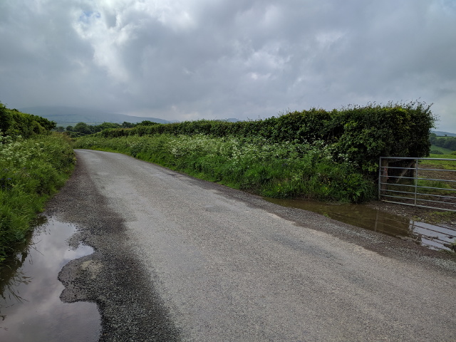
Broad Moor is a vast expanse of moorland located in the Dartmoor National Park, situated in the county of Devon, England. Covering an area of approximately 10,000 hectares, it forms part of the larger Dartmoor Commons and is renowned for its stunning natural beauty and rich biodiversity.
The moorland is characterized by its undulating terrain, comprising a mixture of heather-covered hills, rocky outcrops, and marshy valleys. This diverse landscape offers breathtaking panoramic views, attracting hikers, nature enthusiasts, and photographers alike. The area is also a haven for wildlife, with a plethora of species calling Broad Moor home, including Dartmoor ponies, which roam freely across the open land.
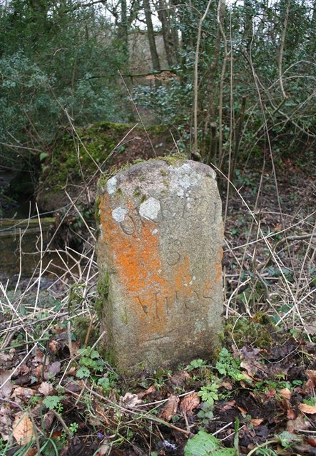
Broad Moor is not only known for its natural beauty but also for its historical significance. The remains of ancient settlements, stone circles, and burial sites can be found scattered throughout the moorland, providing a glimpse into the area's rich past. Visitors can explore these archaeological sites and learn about the fascinating history and cultural heritage of the region.
The moorland is crisscrossed by a network of well-maintained footpaths and bridleways, making it easily accessible for walkers and horse riders. It is also a popular destination for camping and picnicking, offering a tranquil escape from the hustle and bustle of everyday life.
Overall, Broad Moor is a remarkable and captivating destination, offering a unique blend of natural beauty, wildlife, and historical significance. Whether one is seeking adventure, tranquility, or an opportunity to connect with nature, this stunning moorland in Devon has something to offer for everyone.
If you have any feedback on the listing, please let us know in the comments section below.
Broad Moor Images
Images are sourced within 2km of 50.765859/-3.9393977 or Grid Reference SX6398. Thanks to Geograph Open Source API. All images are credited.


Broad Moor is located at Grid Ref: SX6398 (Lat: 50.765859, Lng: -3.9393977)
Administrative County: Devon
District: West Devon
Police Authority: Devon and Cornwall
What 3 Words
///diverts.highly.discusses. Near North Tawton, Devon
Nearby Locations
Related Wikis
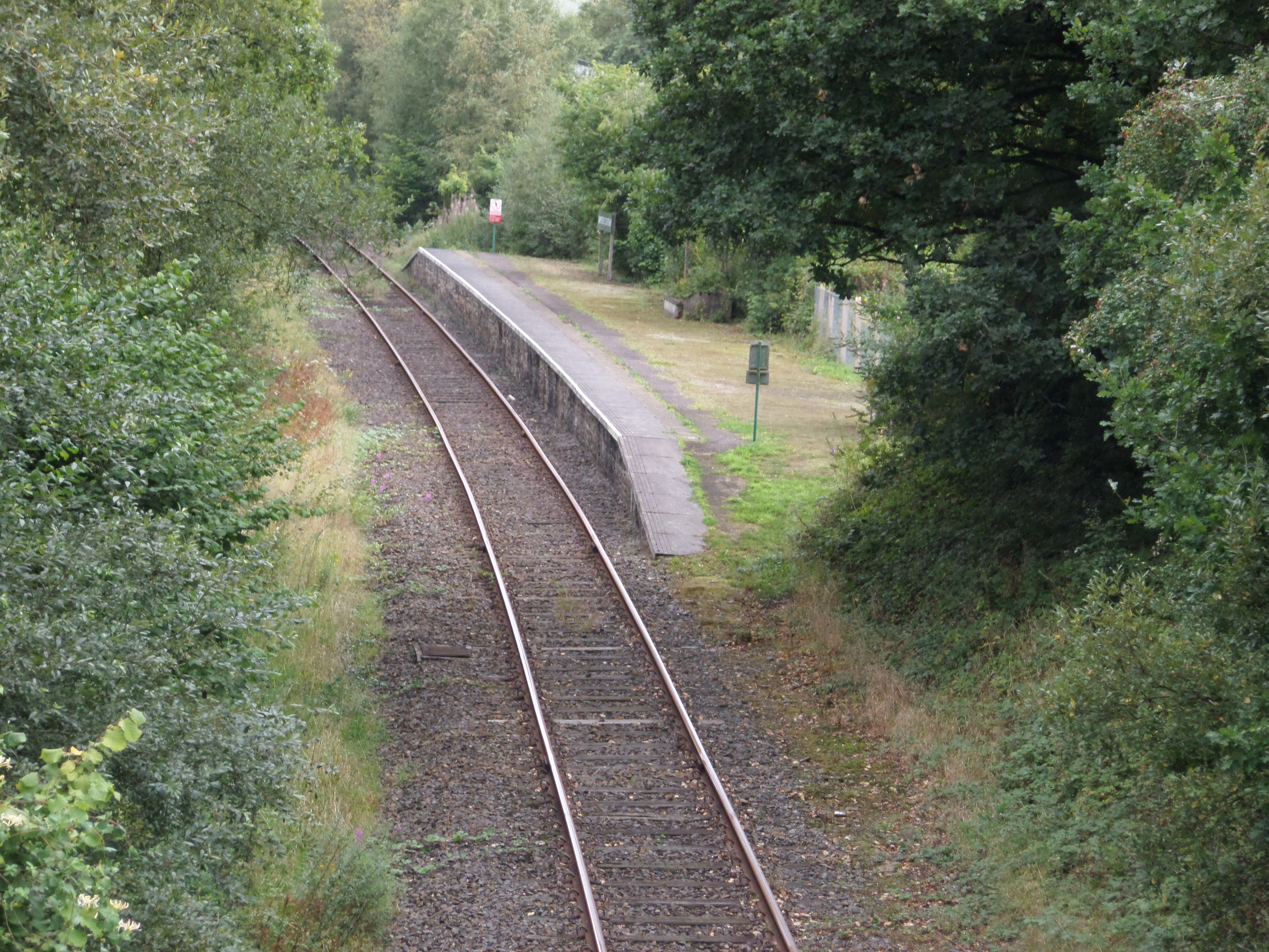
Sampford Courtenay railway station
Sampford Courtenay railway station is a disused railway station at Belstone Corner, which used to serve the nearby (1.6 miles) village of Sampford Courtenay...

Belstone Corner
Belstone Corner is a hamlet in West Devon in the English county of Devon, part of the civil parish of Sampford Courtenay. The Sampford Courtenay railway...
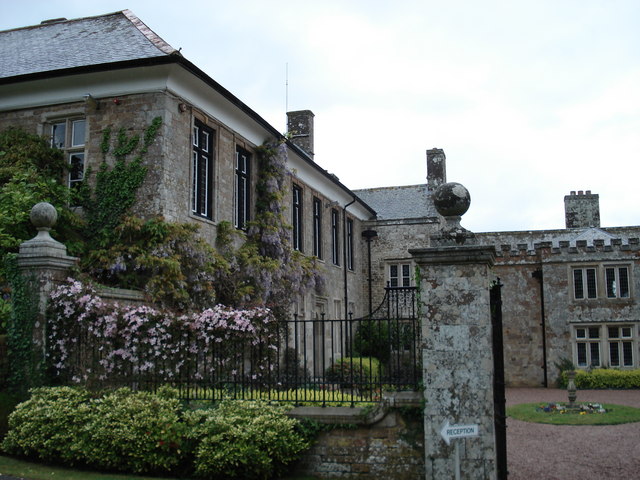
North Wyke
North Wyke is an historic manor in the parish of South Tawton, Devon. The surviving grade I listed manor house, the original Devonshire seat of the Wyke...

Sampford Courtenay
Sampford Courtenay is a village and civil parish in West Devon in England, most famous for being the place where the Western Rebellion, otherwise known...

Battle of Sampford Courtenay
The Battle of Sampford Courtenay was one of the chief military engagements in the Western Rebellion of 1549. == Preparations == By mid August 1549, Humphrey...

Stockley, Devon
Stockley is a hamlet on the eastern outskirts of Okehampton, in Devon, England. It lies just north of the A30. == References == The geographic coordinates...
Brightley Priory
Brightley Priory was founded in 1133 as a Cistercian monastery. It was built in 1136 and was situated about two miles north of Okehampton in Devon and...
Sticklepath
Sticklepath is a village and civil parish on Dartmoor, in the county of Devon, England. It gives its name to one of the most important geological faults...
Nearby Amenities
Located within 500m of 50.765859,-3.9393977Have you been to Broad Moor?
Leave your review of Broad Moor below (or comments, questions and feedback).