Baginton
Settlement in Warwickshire Warwick
England
Baginton
Baginton is a small village located in the county of Warwickshire, England. Situated approximately six kilometers south of Coventry, it has a population of around 1,500 people. The village is easily accessible, as it is located near the Coventry Airport and is well-connected by major roads such as the A45 and A444.
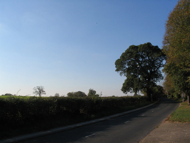
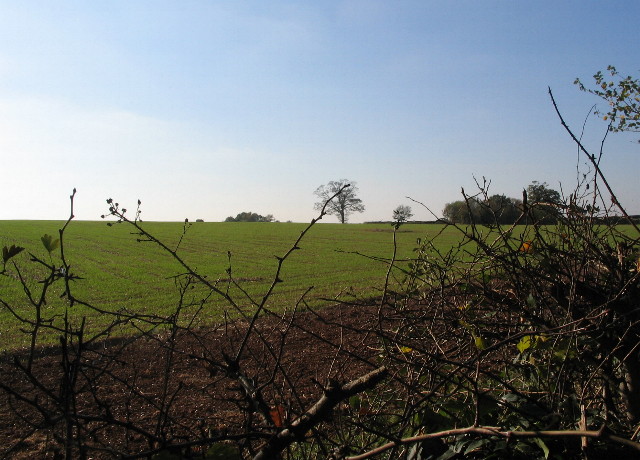
Baginton has a rich history dating back to Roman times, with evidence of settlements and artifacts found in the area. The village is home to the Baginton Fields, a designated Site of Special Scientific Interest due to its diverse flora and fauna. It is also known for its picturesque countryside, with the River Sowe flowing through the village and providing beautiful scenic views.
The village boasts several historic landmarks, including the Baginton Castle, a medieval fortified manor house that was once a residence of the Earl of Warwick. The ruins of the castle still stand today and are a popular attraction for visitors. Another notable landmark is the Baginton Oak, a 500-year-old tree that has become an iconic symbol of the village.
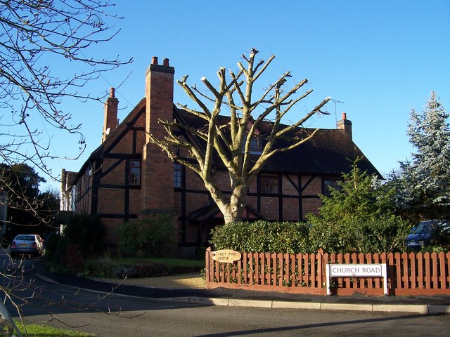
Baginton offers a range of amenities for its residents and visitors. It has a primary school, a village hall, and a community center that host various events and activities. The village also has several pubs, restaurants, and shops, catering to the needs of locals and tourists alike.
Overall, Baginton is a charming village with a rich history, scenic beauty, and a strong sense of community. It offers a peaceful and idyllic setting for those seeking a quiet retreat or a taste of rural life.
If you have any feedback on the listing, please let us know in the comments section below.
Baginton Images
Images are sourced within 2km of 52.370789/-1.492361 or Grid Reference SP3474. Thanks to Geograph Open Source API. All images are credited.
![City of Coventry A close up of the nose of Avro Vulcan B.2 XL360 <span class="nowrap"><a title="http://www.thunder-and-lightnings.co.uk/vulcan/survivor.php?id=60" rel="nofollow ugc noopener" href="http://www.thunder-and-lightnings.co.uk/vulcan/survivor.php?id=60">Link</a><img style="margin-left:2px;" alt="External link" title="External link - shift click to open in new window" src="https://s1.geograph.org.uk/img/external.png" width="10" height="10"/></span> at the Midland Air Museum <span class="nowrap"><a title="http://www.midlandairmuseum.co.uk/" rel="nofollow ugc noopener" href="http://www.midlandairmuseum.co.uk/">Link</a><img style="margin-left:2px;" alt="External link" title="External link - shift click to open in new window" src="https://s1.geograph.org.uk/img/external.png" width="10" height="10"/></span> take a look inside at <a href="https://www.geograph.org.uk/photo/5759934">SP3575 : The Front Office of B.2 XL360</a>] &amp; <a href="https://www.geograph.org.uk/photo/5759989">SP3575 : Back Office Vulcan B.2 XL360</a>](https://s3.geograph.org.uk/geophotos/02/38/89/2388935_d8d2067f.jpg)
Baginton is located at Grid Ref: SP3474 (Lat: 52.370789, Lng: -1.492361)
Administrative County: Warwickshire
District: Warwick
Police Authority: Warwickshire
What 3 Words
///loft.scuba.using. Near Ryton on Dunsmore, Warwickshire
Nearby Locations
Related Wikis

Baginton
Baginton is a village and civil parish in the Warwick district of Warwickshire, England, and has a common border with the City of Coventry / West Midlands...
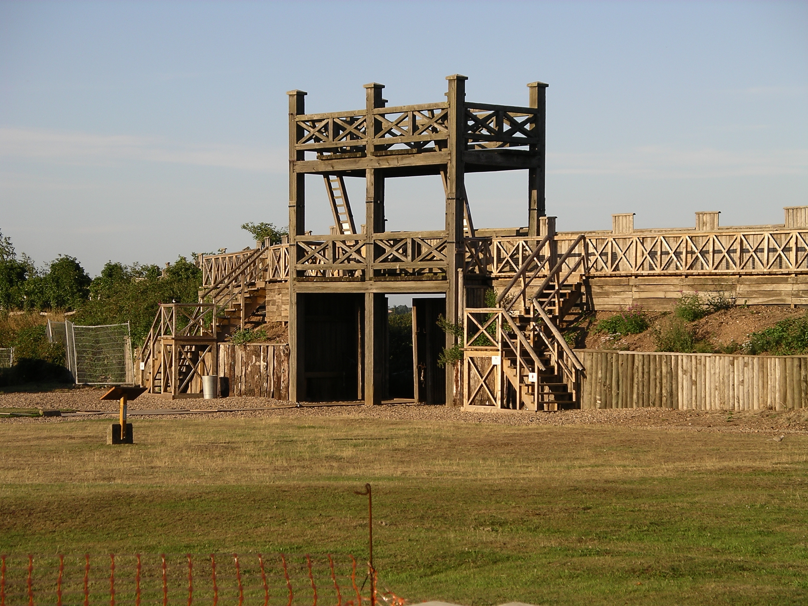
Lunt Roman Fort
The Lunt Roman Fort is the archaeological site of a Roman fort, of unknown name, in the Roman province of Britannia. It is open to the public and located...
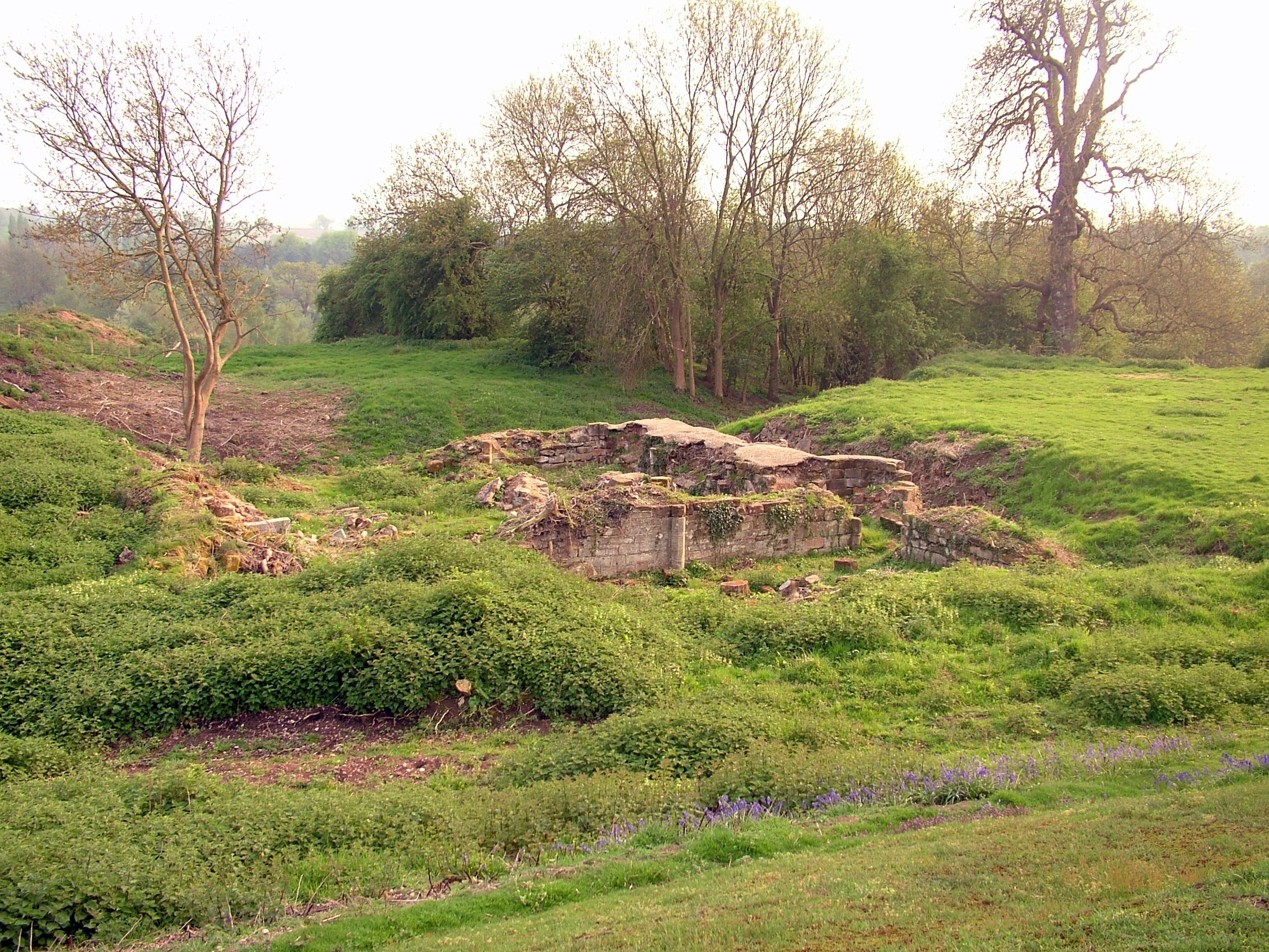
Baginton Castle
Baginton Castle, also known as Bagot's Castle, is a ruined castle in Baginton, Warwickshire, England. It was originally built in the 12th century by Geoffrey...
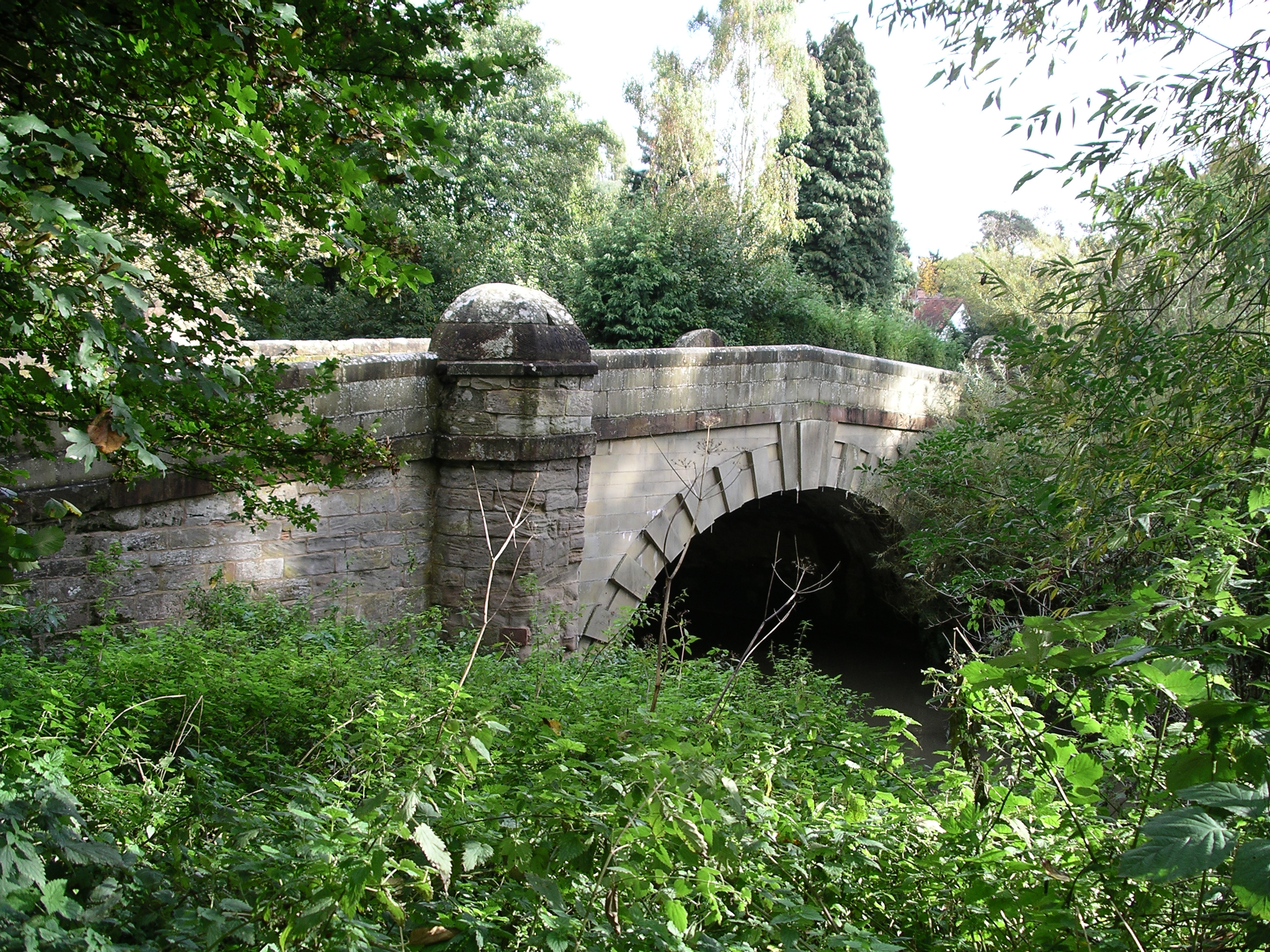
River Sherbourne
The River Sherbourne is a river that flows under the centre of the city of Coventry, in the West Midlands, in England. The source of the river is in the...
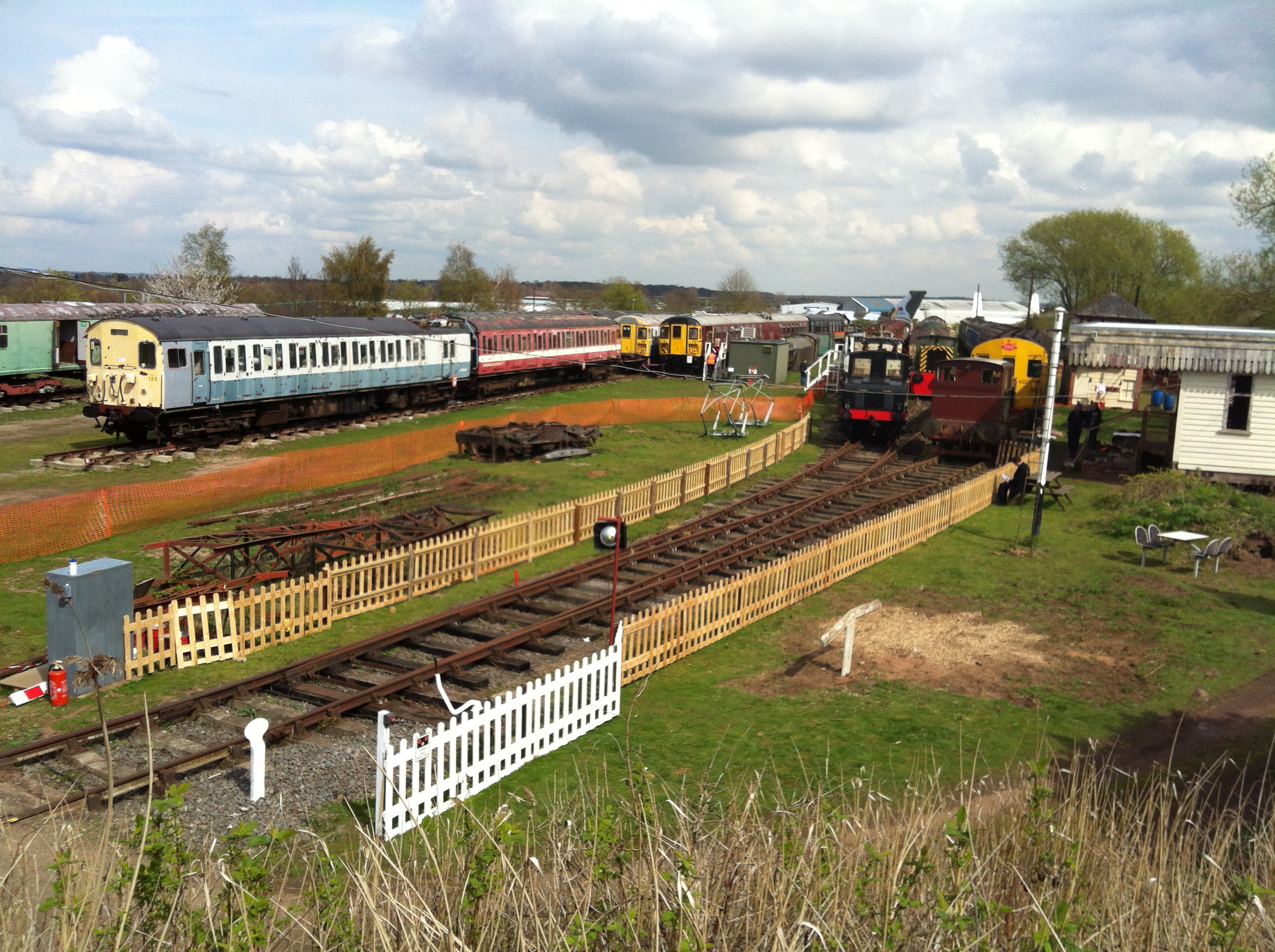
Electric Railway Museum
The Electric Railway Museum (formerly the Coventry Railway Centre) was located in Warwickshire, south-east of Coventry, near the village of Baginton. The...
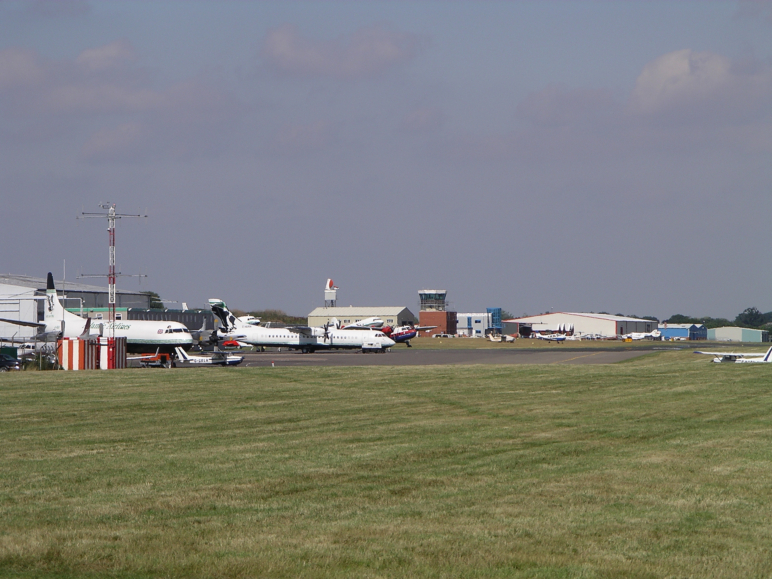
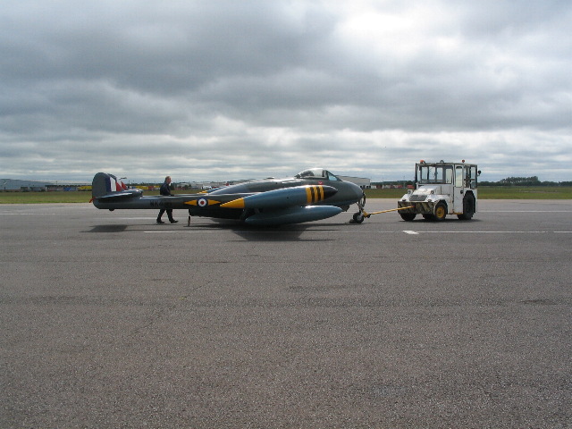
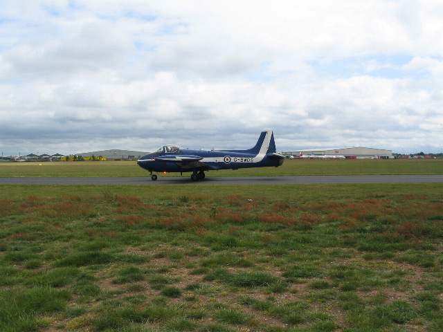
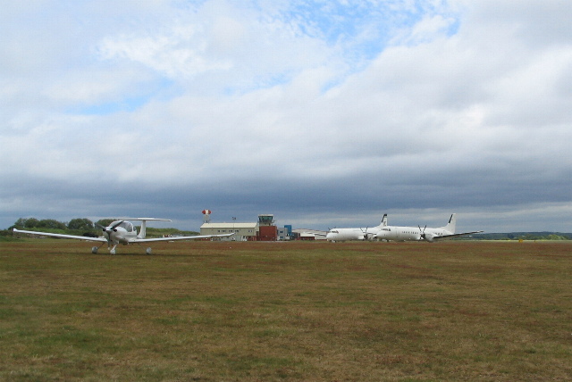
Coventry Airport
Coventry Airport (IATA: CVT, ICAO: EGBE) is located three nautical miles (six kilometres) south-southeast of Coventry city centre, in the village of Baginton...

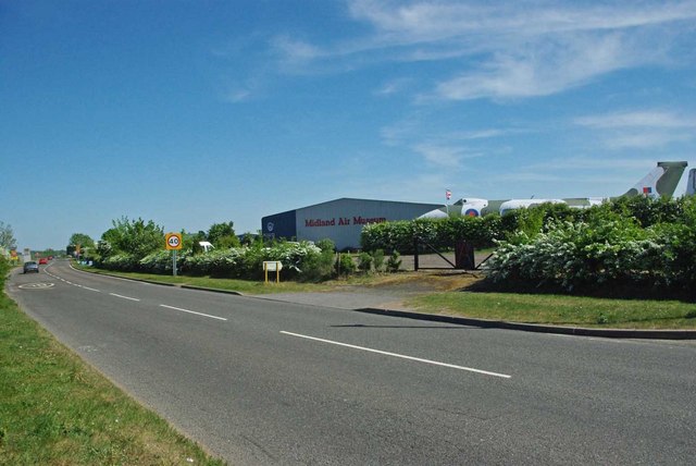
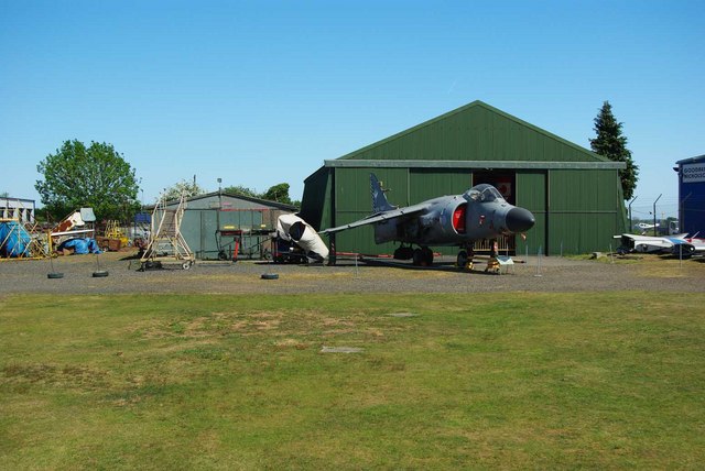
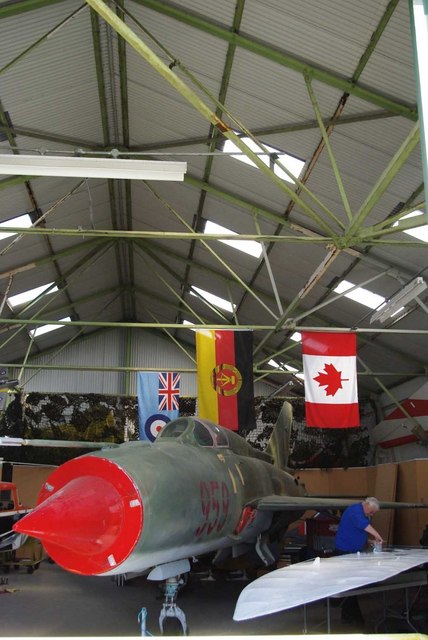
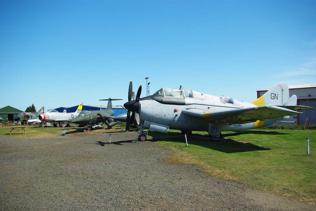
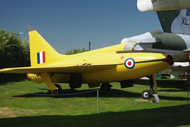
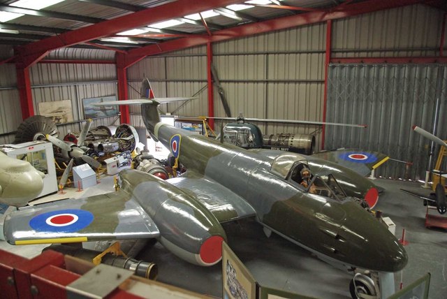
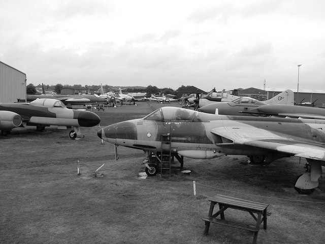
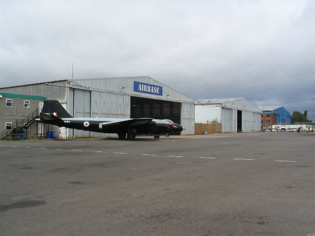
Midland Air Museum
The Midland Air Museum (MAM) is situated just outside the village of Baginton in Warwickshire, England, and is adjacent to Coventry Airport. The museum...

Whitley plant
The Whitley plant, situated in Whitley, Coventry, United Kingdom, is the headquarters and one of the engineering centres of Jaguar Land Rover. The facility...
Nearby Amenities
Located within 500m of 52.370789,-1.492361Have you been to Baginton?
Leave your review of Baginton below (or comments, questions and feedback).