Black Moss
Downs, Moorland in Ayrshire
Scotland
Black Moss
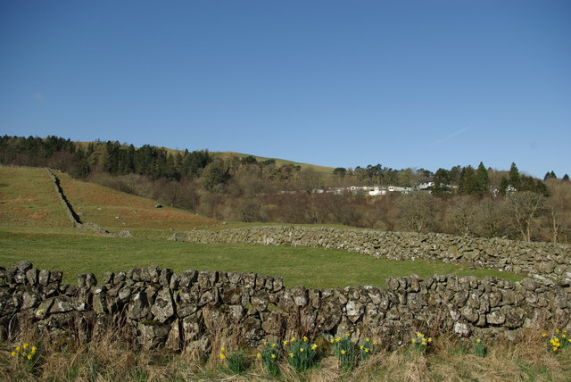
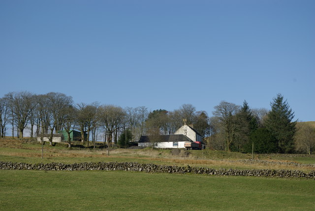
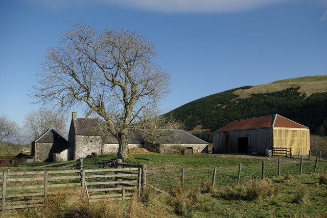
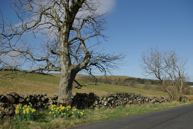
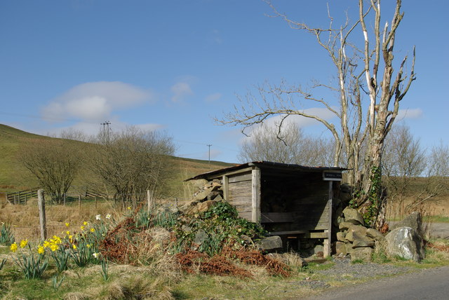
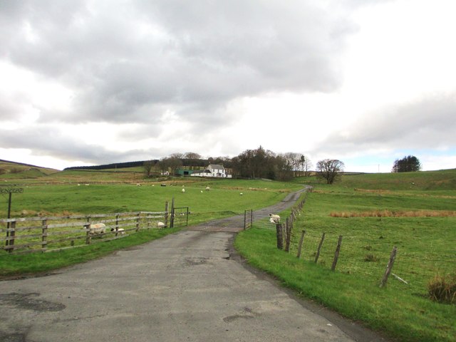
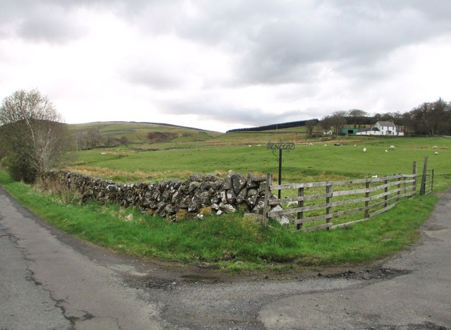
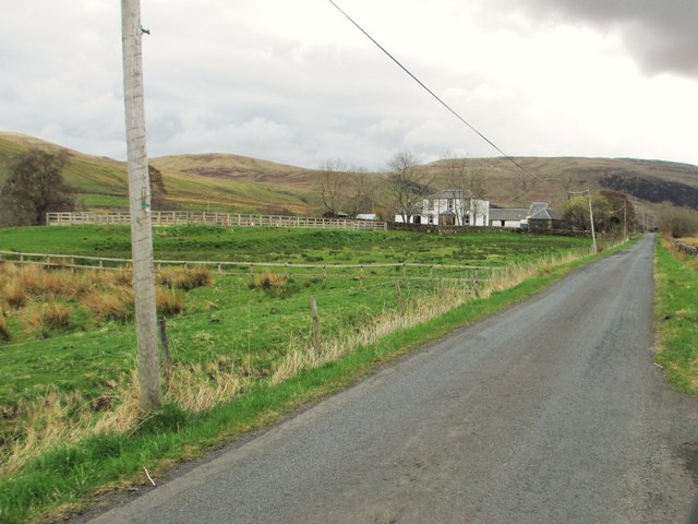
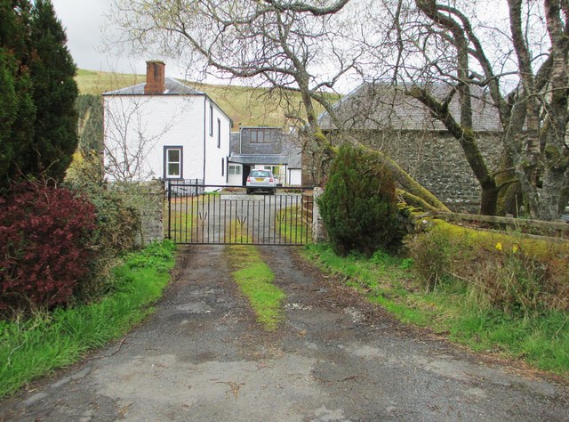
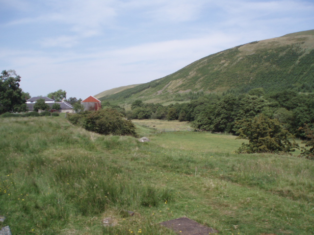
Black Moss, Ayrshire is a captivating region located in the southwestern part of Scotland. Known for its stunning natural beauty, the area is characterized by its extensive downs and moorland landscapes. The downs, also referred to as rolling hills, present a picturesque sight with their gently sloping terrain and lush greenery. These hills provide an ideal environment for grazing livestock, leading to the presence of numerous farms in the area.
In addition to the downs, Black Moss is renowned for its expansive moorland. Moorland refers to open landscapes dominated by heather and peat bogs, creating a unique ecosystem that supports a diverse range of flora and fauna. The moorland in Black Moss is particularly alluring, with its vast stretches of vibrant purple heather and the occasional sightings of wildlife, including birds of prey, deer, and various small mammals.
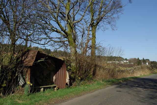
The region is also home to several walking trails and hiking routes, making it a popular destination for outdoor enthusiasts. Visitors can explore the downs and moorland on foot, taking in the breathtaking scenery and enjoying the tranquility of the surroundings. The area offers an excellent opportunity for birdwatching, as a variety of bird species can be spotted in their natural habitats.
Black Moss, Ayrshire is a destination that appeals to nature lovers, photographers, and those seeking a peaceful retreat. Its combination of rolling downs, captivating moorland, and diverse wildlife make it a truly enchanting place to visit.
If you have any feedback on the listing, please let us know in the comments section below.
Black Moss Images
Images are sourced within 2km of 55.373721/-4.166421 or Grid Reference NS6210. Thanks to Geograph Open Source API. All images are credited.


Black Moss is located at Grid Ref: NS6210 (Lat: 55.373721, Lng: -4.166421)
Unitary Authority: East Ayrshire
Police Authority: Ayrshire
What 3 Words
///circular.agreement.holly. Near New Cumnock, East Ayrshire
Nearby Locations
Related Wikis

Knockshinnoch disaster
The Knockshinnoch disaster was a mining accident that occurred in September 1950 in the village of New Cumnock, Ayrshire, Scotland. A glaciated lake filled...

New Cumnock Town Hall
New Cumnock Town Hall is a municipal building in Castle, New Cumnock, East Ayrshire, Scotland. The structure, which is used as a community events venue...

New Cumnock
New Cumnock is a town in East Ayrshire, Scotland. It expanded during the coal-mining era from the late 18th century, and mining remained its key industry...

River Afton
The River Afton (or Afton Water) is a small river in Ayrshire, Scotland, which flows north from Alwhat Hill in the Carsphairn and Scaur Hills, through...
Nearby Amenities
Located within 500m of 55.373721,-4.166421Have you been to Black Moss?
Leave your review of Black Moss below (or comments, questions and feedback).