Woodterrill Moor
Downs, Moorland in Devon Torridge
England
Woodterrill Moor
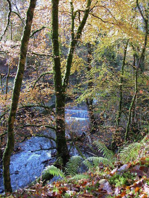
Woodterrill Moor is a picturesque and expansive area located in Devon, England. Covering a vast expanse of land, it is known for its stunning downs and moorland landscapes. The moor, situated in the southern part of the county, offers a unique blend of rolling hills, heather-covered moorlands, and lush green valleys.
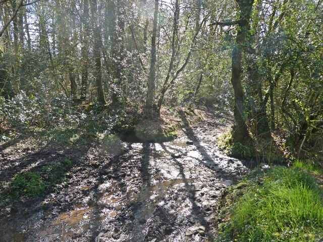
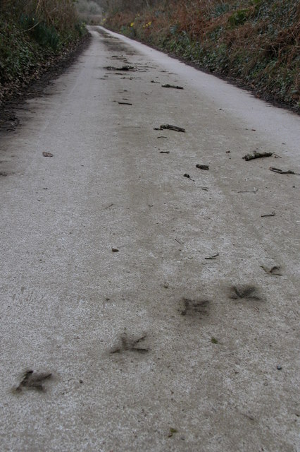
The moorland of Woodterrill Moor is characterized by its rich biodiversity, with a variety of plant and animal species thriving in its diverse habitats. Visitors can expect to see an array of wildflowers, including heather, gorse, and bilberry, which paint the landscape with vibrant colors during the summer months. The moor is also home to various bird species, such as skylarks and merlins, making it a haven for birdwatching enthusiasts.
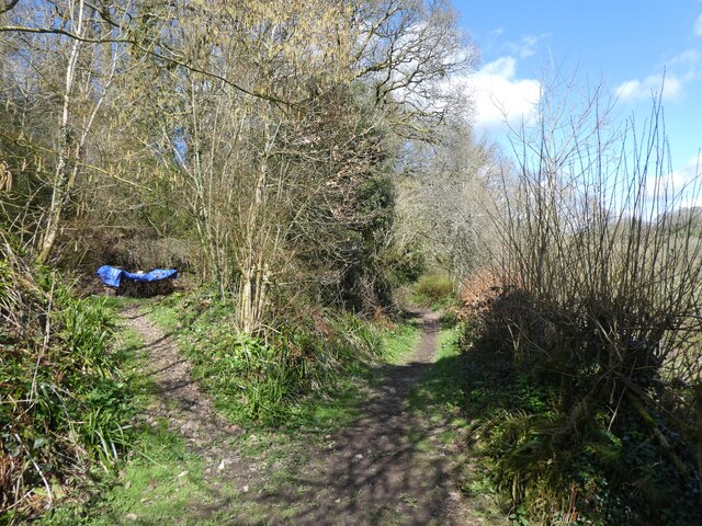
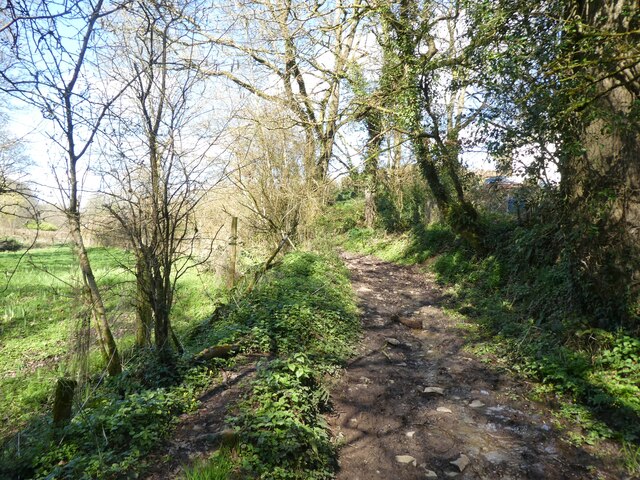
The downs of Woodterrill Moor provide stunning panoramic views of the surrounding countryside. With its open grassy slopes and gentle rolling hills, it is a perfect destination for hiking and walking enthusiasts. The well-maintained footpaths and trails allow visitors to explore the area at their own pace, taking in the breathtaking scenery and enjoying the tranquility of the moor.
Woodterrill Moor is not only appreciated for its natural beauty but also for its historical significance. The area is dotted with ancient archaeological sites, including burial mounds and stone circles, providing a glimpse into the region's rich past. These remnants of the past add an intriguing layer to the moor's allure, attracting history buffs and archaeology enthusiasts.
Overall, Woodterrill Moor offers a captivating blend of natural beauty, biodiversity, and historical significance. It is a must-visit destination for those seeking to immerse themselves in the beauty of Devon's downs and moorland.
If you have any feedback on the listing, please let us know in the comments section below.
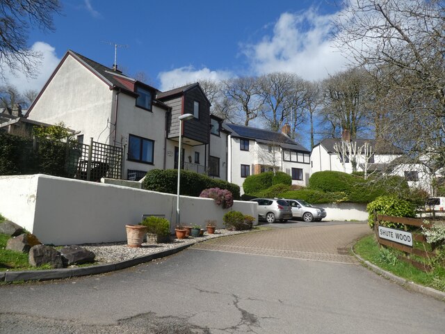
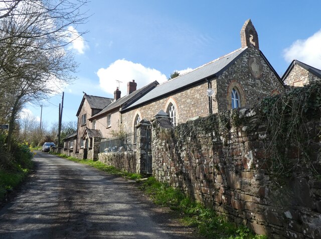
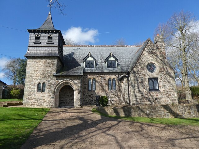
Woodterrill Moor Images
Images are sourced within 2km of 50.884144/-3.9629454 or Grid Reference SS6211. Thanks to Geograph Open Source API. All images are credited.


Woodterrill Moor is located at Grid Ref: SS6211 (Lat: 50.884144, Lng: -3.9629454)
Administrative County: Devon
District: Torridge
Police Authority: Devon and Cornwall
What 3 Words
///decompose.giraffes.stealing. Near Winkleigh, Devon
Nearby Locations
Related Wikis

RAF Winkleigh
Royal Air Force Winkleigh, or more simply RAF Winkleigh, is a former Royal Air Force satellite station located near to Winkleigh, Devon and south of Barnstaple...
Ashreigney
Ashreigney is a village and civil parish in the Torridge district of Devon, England, about 15 miles (24 km) south of the town of Barnstaple. According...

Church of All Saints, Winkleigh
The Church of All Saints is a Church of England parish church in Winkleigh, Devon. The church is a Grade I listed building. == History == The earliest...

Stafford, Dolton
Stafford (anciently Stowford) is an historic manor in the parish of Dolton in Devon, England. The present manor house known as Stafford Barton is a grade...
Have you been to Woodterrill Moor?
Leave your review of Woodterrill Moor below (or comments, questions and feedback).