Craigend Muir
Downs, Moorland in Stirlingshire
Scotland
Craigend Muir
The requested URL returned error: 429 Too Many Requests
If you have any feedback on the listing, please let us know in the comments section below.
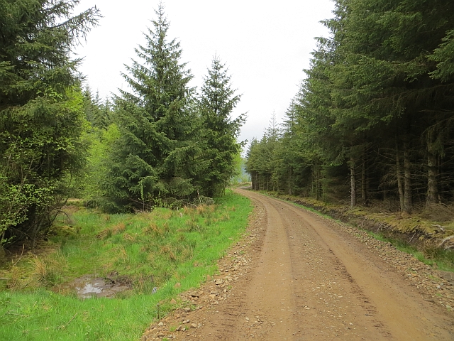
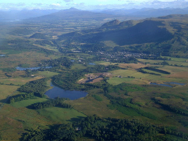
Craigend Muir Images
Images are sourced within 2km of 55.971495/-4.2620344 or Grid Reference NS5877. Thanks to Geograph Open Source API. All images are credited.


Craigend Muir is located at Grid Ref: NS5877 (Lat: 55.971495, Lng: -4.2620344)
Unitary Authority: East Dunbartonshire
Police Authority: Greater Glasgow
What 3 Words
///spelling.unopposed.remote. Near Strathblane, Stirling
Nearby Locations
Related Wikis

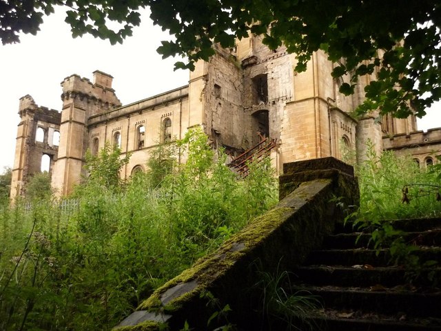
Lennox Castle
Lennox Castle is an abandoned castle in Lennoxtown, East Dunbartonshire, Scotland, approximately 12 miles (19 kilometres) north of Glasgow. It is infamous...
Loch Ardinning
Loch Ardinning (Scottish Gaelic: Loch Àird Dùnain) is a body of freshwater in the district of Stirling in Scotland, lying to the south of the village of...

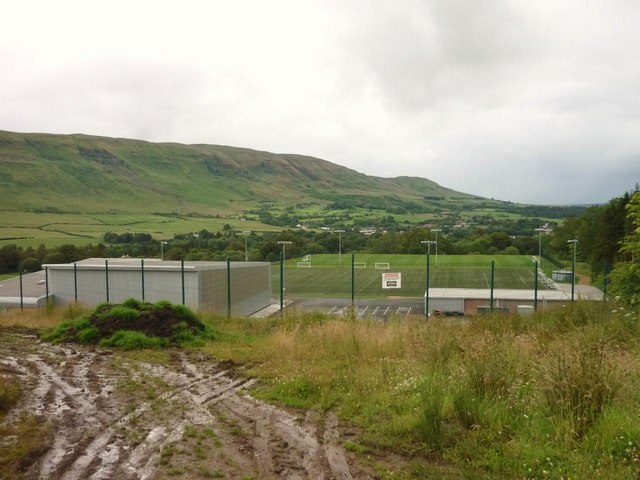
Lennoxtown training centre
Lennoxtown Training Centre is Celtic F.C.'s training centre, located at Lennoxtown, East Dunbartonshire in Scotland. The complex houses the club's training...

Finglen Burn
The Finglen Burn is a burn in Scotland that runs from north east of the Earl's Seat (the highest point on the Campsie Fells) to just north of Campsie Village...
Have you been to Craigend Muir?
Leave your review of Craigend Muir below (or comments, questions and feedback).