Gwernogle

Settlement in Carmarthenshire

Wales

Gwernogle

Ffarm Pantyrhyg Farm, Gwernogle Ffarm adfeiliedig Pantyrhyg / The ruined farmhouse known as Pantyrhyg
Ffarm Pantyrhyg Farm, Gwernogle Credit: Alan Richards

Gwernogle is a small village located in the county of Carmarthenshire, Wales. Situated in the picturesque hills of the Teifi Valley, it is surrounded by beautiful countryside and rolling green hills. The village is nestled within the Cambrian Mountains, offering stunning views and a tranquil atmosphere.

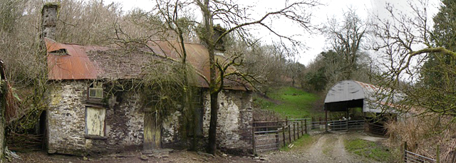
With a population of just over 100 people, Gwernogle is known for its close-knit community and friendly locals. The village is made up of a scattering of traditional stone houses, giving it a charming and rustic feel. Despite its small size, Gwernogle has a rich history, with evidence of settlements dating back to the Bronze Age.

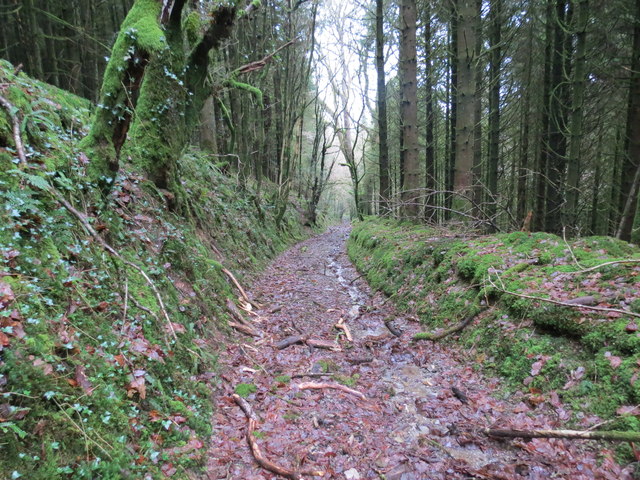
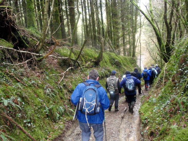
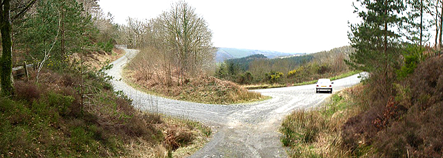
The village is an excellent base for outdoor enthusiasts, with plenty of opportunities for walking, hiking, and cycling in the surrounding countryside. The nearby Teifi Pools and Llyn Brianne reservoirs are popular spots for fishing and boating enthusiasts. Gwernogle is also located near the Brechfa Forest, offering miles of woodland trails for nature lovers to explore.

While Gwernogle is primarily a residential area, it does have a few amenities to serve its residents' needs. The village has a community hall, which hosts various events and gatherings throughout the year. The nearest shops and services can be found in the nearby towns of Lampeter and Llandovery, both just a short drive away.

In summary, Gwernogle is a charming and picturesque village located in the heart of Carmarthenshire. With its stunning natural surroundings and close-knit community, it offers a peaceful and idyllic lifestyle for its residents.

If you have any feedback on the listing, please let us know in the comments section below.
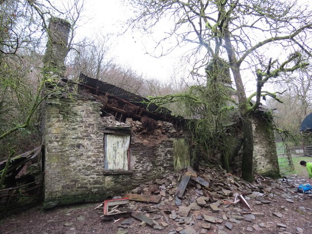
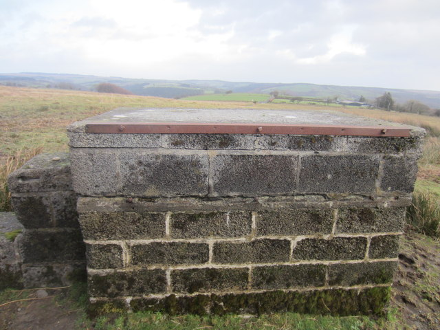
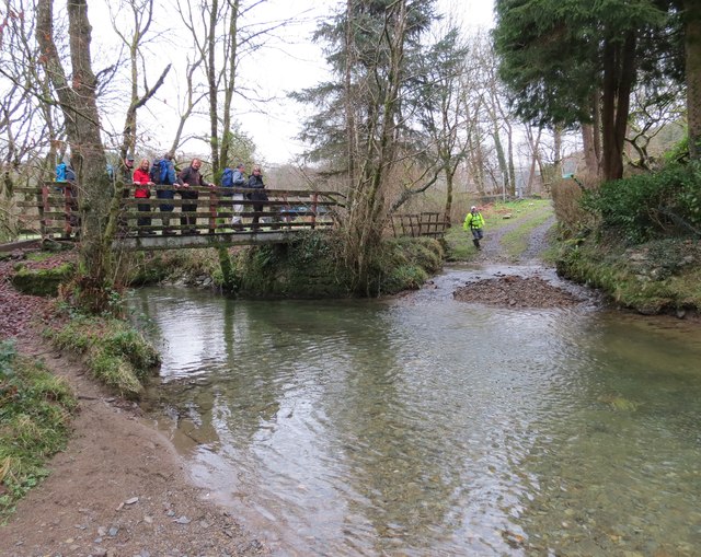
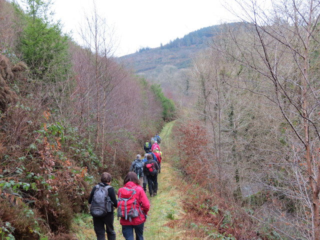
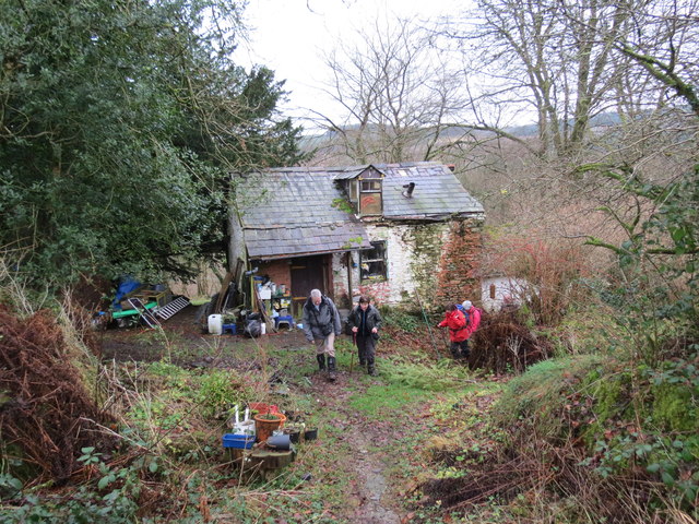
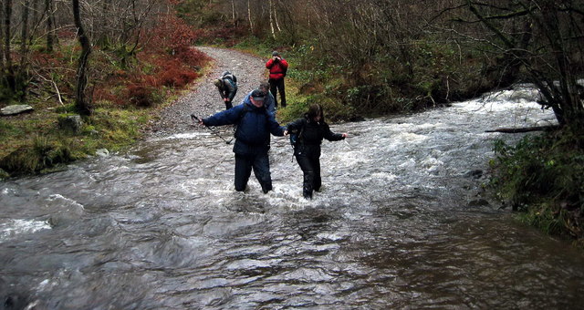
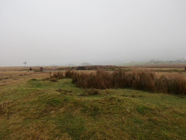
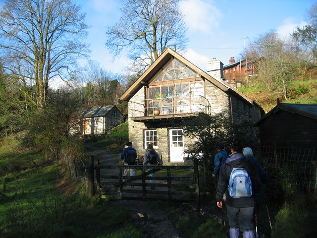
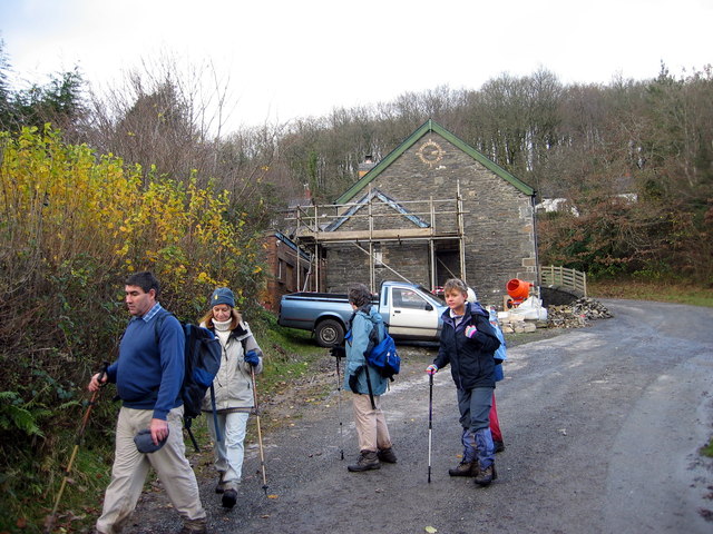
Gwernogle Images

Images are sourced within 2km of 51.985672/-4.145035 or Grid Reference SN5234. Thanks to Geograph Open Source API. All images are credited.

Ffarm Pantyrhyg Farm, Gwernogle Ffarm adfeiliedig Pantyrhyg / The ruined farmhouse known as Pantyrhyg
Ffarm Pantyrhyg Farm, Gwernogle
Ffarm adfeiliedig Pantyrhyg / The ruined farmhouse known as Pantyrhyg
Triangulation Pillar (S2500) This 3rd Order Triangulation Pillar carries Flush Bracket S2500 which marks a point 245.132m above mean sea level.
Triangulation Pillar (S2500)
This 3rd Order Triangulation Pillar carries Flush Bracket S2500 which marks a point 245.132m above mean sea level.
Ordnance Survey Rivet This OS rivet can be found on a milk stand. It marks a point 308.070m above mean sea level. <a title="https://www.geograph.org.uk/photo/3792069" href="https://www.geograph.org.uk/photo/3792069">Link</a>
Ordnance Survey Rivet
This OS rivet can be found on a milk stand. It marks a point 308.070m above mean sea level. Link
Milk Stand There is an OS rivet on the top. <a title="https://www.geograph.org.uk/photo/3792068" href="https://www.geograph.org.uk/photo/3792068">Link</a>
Milk Stand
There is an OS rivet on the top. Link
Llwybr Pantyrhyg Footpath Llwybr yn mynd i lawr y waerod o Ffarm Pantyrhyg at bentre Gwernogle.

A footpath descending from Pantyrhyg Farm in the direction of Gwernogle village.
Llwybr Pantyrhyg Footpath
Llwybr yn mynd i lawr y waerod o Ffarm Pantyrhyg at bentre Gwernogle. A footpath descending from Pantyrhyg Farm in the direction of Gwernogle village.
Pompren Afon Clydach / Afon Clydach Footbridge Cerddwyr yn croesi Afon Clydach yng Ngwernogle.

Walkers crossing the Clydach River in Gwernogle.
Pompren Afon Clydach / Afon Clydach Footbridge
Cerddwyr yn croesi Afon Clydach yng Ngwernogle. Walkers crossing the Clydach River in Gwernogle.
Llwybr y Garth Path Cerddwyr yn dilyn llwybr cyhoeddus ar droed y Garth i gyfeiriad pentre Gwernogle.

Walkers following a footpath at the foot of Y Garth (trans. the hill) in the direction of Gwernogle village.
Llwybr y Garth Path
Cerddwyr yn dilyn llwybr cyhoeddus ar droed y Garth i gyfeiriad pentre Gwernogle. Walkers following a footpath at the foot of Y Garth (trans. the hill) in the direction of Gwernogle village.
Bwthyn Cae-dwgan Cottage Hen fwthyn o'r enw Cae-dwgan yng Nghwernogle.

Old cottage known as Cae-dwgan in Carmarthenshire.
Bwthyn Cae-dwgan Cottage
Hen fwthyn o'r enw Cae-dwgan yng Nghwernogle. Old cottage known as Cae-dwgan in Carmarthenshire.
Rhyd Afon Blotweth/ Afon Blotweth Ford Cerddwyr yn rhydio Afon Blotweth ar ol glaw trwm.

Walkers fording the swollen Blotweth Stream.
Rhyd Afon Blotweth/ Afon Blotweth Ford
Cerddwyr yn rhydio Afon Blotweth ar ol glaw trwm. Walkers fording the swollen Blotweth Stream.
Hen garn / old cairn Gweddillion hen garn o'r Oes Efydd ar Fynydd Llanfihangel Rhosycorn.

The remains of a Bronze Age cairn on Mynydd Llanfihangel Rhosycorn Mountain.
Hen garn / old cairn
Gweddillion hen garn o'r Oes Efydd ar Fynydd Llanfihangel Rhosycorn. The remains of a Bronze Age cairn on Mynydd Llanfihangel Rhosycorn Mountain.
Pant y Betws Cerddwyr yn mynd heibio i anhedd-dy o'r enw Pant y Betws.

Walkers passing a property known as Pant y Betws (trans. prayer house hollow)
Pant y Betws
Cerddwyr yn mynd heibio i anhedd-dy o'r enw Pant y Betws. Walkers passing a property known as Pant y Betws (trans. prayer house hollow)
Hen geuffordd / Old hollow way Cerddwyr yn mynd trwy geuffordd hynafol.

Walkers following an ancient hollow way.
Hen geuffordd / Old hollow way
Cerddwyr yn mynd trwy geuffordd hynafol. Walkers following an ancient hollow way.
Ysgol Gwernogle School Caewyd yr ysgol ar 10 Gorffennaf yn 1971, 100 mlynyedd yn union ar ol iddi agor. Yn 2002 cafwyd aduniad o hen ddisgyblion ac athrawon yr ysgol yn festri Eglwys Llanfihanfel Rhos y Corn, yr hynaf yn 94. Yn y llun mae'r adeilaid yn cael ei droi'n dy breifat.

The school closed on 10 July 1971, 100 years exactly since it was opened. In 2002 a reunion of past pupils and teachers was held at Llanfihangel Rhos y Corn Church vestry, the oldest being 94. The photo shows that work is in progress of turning the building into a private residence.
Ysgol Gwernogle School
Caewyd yr ysgol ar 10 Gorffennaf yn 1971, 100 mlynyedd yn union ar ol iddi agor. Yn 2002 cafwyd aduniad o hen ddisgyblion ac athrawon yr ysgol yn festri Eglwys Llanfihanfel Rhos y Corn, yr hynaf yn 94. Yn y llun mae'r adeilaid yn cael ei droi'n dy breifat. The school closed on 10 July 1971, 100 years exactly since it was opened. In 2002 a reunion of past pupils and teachers was held at Llanfihangel Rhos y Corn Church vestry, the oldest being 94. The photo shows that work is in progress of turning the building into a private residence.
Track Looking out of the car park at SN 520 323.
The track on the left is heading south.
Track
Looking out of the car park at SN 520 323. The track on the left is heading south.
Derelict A derelict farmhouse just below a tight bend in the road.
Derelict
A derelict farmhouse just below a tight bend in the road.
Road Sign Turn left for Gwernogle.
Road Sign
Turn left for Gwernogle.
Penygarreg Looking SSW to Penygarreg farm. 
The low building on the left is a stable.
Penygarreg
Looking SSW to Penygarreg farm. The low building on the left is a stable.
Junction Looking down the steep road to the junction at SN 535 335.
Junction
Looking down the steep road to the junction at SN 535 335.
Show me another place!

Gwernogle is located at Grid Ref: SN5234 (Lat: 51.985672, Lng: -4.145035)

Unitary Authority: Carmarthenshire

Police Authority: Dyfed Powys

Also known as: Gwernoge

What 3 Words

///acrobats.octagon.joggers. Near Llanfynydd, Carmarthenshire

Related Wikis

Gwernogle

Gwernogle is an isolated hamlet in Carmarthenshire, Wales, nestled in the Brechfa Forest. The Ty Cwrdd Welsh Independent Chapel is situated in the hamlet...

Brechfa Forest

The Brechfa Forest is a forest in Carmarthenshire, south Wales. Brechfa Forest is the 'modern' name for part of the ancient Glyn Cothi Forest. From before...

Brechfa Forest Wind Farm

Brechfa Forest West Wind Farm is a wind farm in Brechfa Forest in Carmarthenshire in south west Wales. Construction of the wind farm began in November...

Llanfihangel Rhos-y-Corn

Llanfihangel Rhos-y-Corn is a sparsely populated community of Carmarthenshire, Wales. The population of the community taken at the 2011 census was 468...

Nearby Amenities

Located within 500m of 51.985672,-4.145035
Gwernogle
Place: hamlet
Source: npe
Wikidata: Q13128837
Wikipedia: cy:Gwernogle
Lat/Long: 51.9849952/-4.1423825
The data included in this document is from www.openstreetmap.org. The data is made available under ODbL.

Have you been to Gwernogle?

Leave your review of Gwernogle below (or comments, questions and feedback).