Craigmaddie Muir
Downs, Moorland in Stirlingshire
Scotland
Craigmaddie Muir
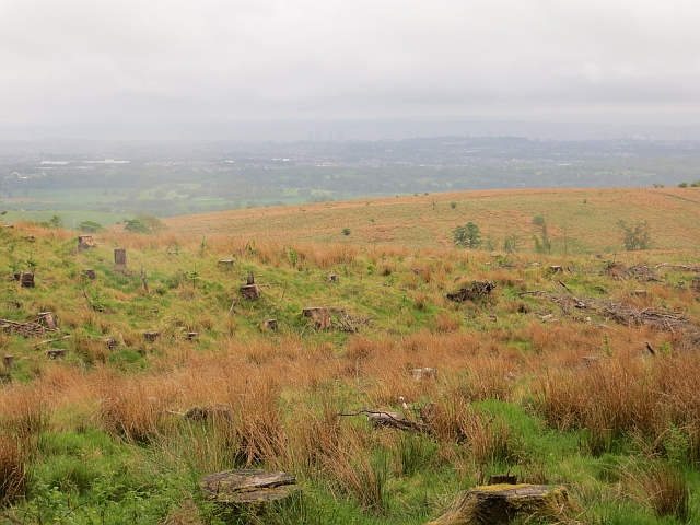
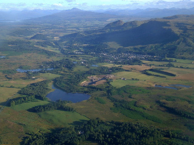
Craigmaddie Muir is a vast expanse of moorland located in Stirlingshire, Scotland. Situated to the north of the village of Baldernock, this area covers an extensive area of downs and moorland.
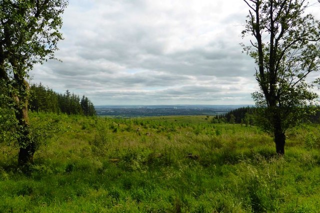
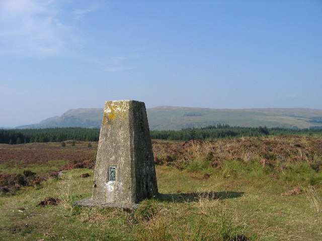
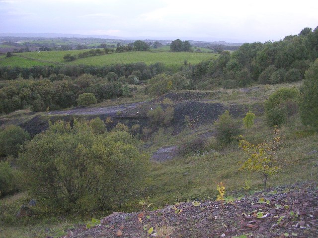
The muir is characterized by its rolling hills, heather-covered landscapes, and wide open spaces. It offers breathtaking panoramic views of the surrounding countryside, including the Campsie Fells to the south and the Kilpatrick Hills to the north. The terrain is undulating, with a mixture of grassy slopes, rocky outcrops, and peat bogs.
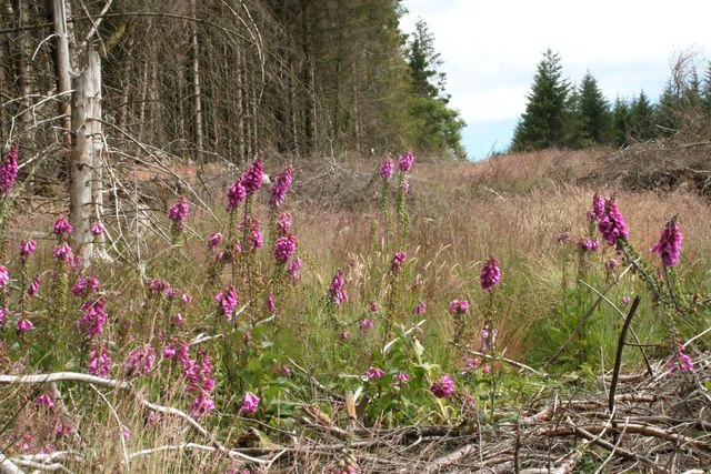
Craigmaddie Muir is home to a diverse range of flora and fauna. The heather-dominated vegetation provides a perfect habitat for a variety of bird species, including curlews, lapwings, and skylarks. The moorland also supports a healthy population of red grouse, which are a popular game bird in the area.
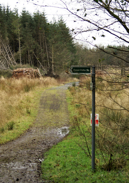
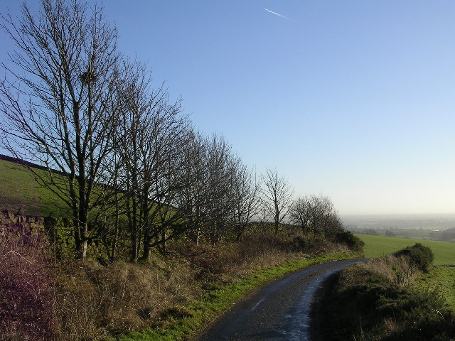
The muir is a popular spot for outdoor enthusiasts, including walkers, hikers, and nature lovers. Numerous footpaths traverse the area, allowing visitors to explore its natural beauty. It is also a haven for wildlife enthusiasts and photographers, who can capture stunning images of the landscape and its inhabitants.
Craigmaddie Muir is a designated Site of Special Scientific Interest (SSSI) due to its importance for biodiversity and conservation. It is a protected area, managed by Scottish Natural Heritage, to ensure the preservation of its unique habitats and species.
If you have any feedback on the listing, please let us know in the comments section below.
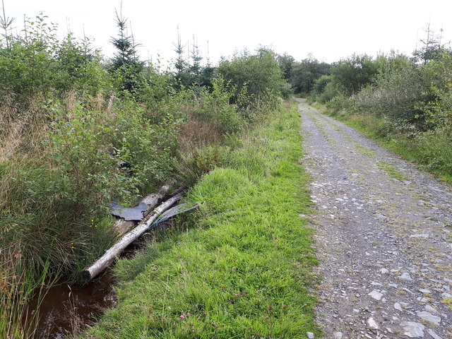
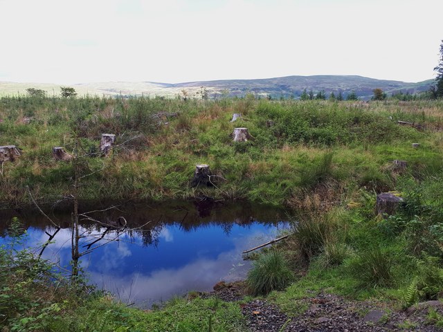
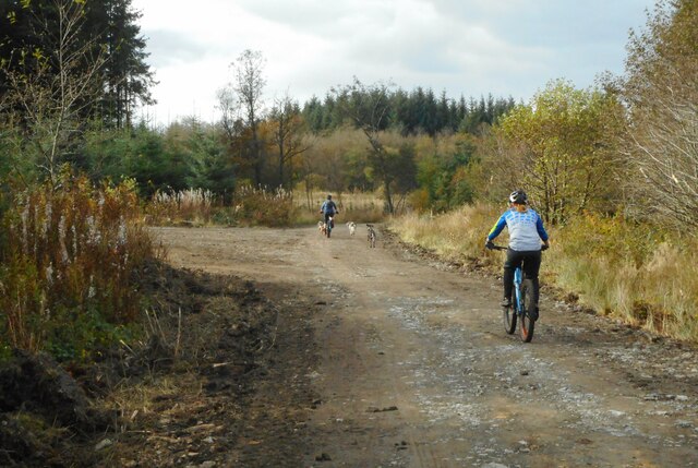
Craigmaddie Muir Images
Images are sourced within 2km of 55.961749/-4.2685955 or Grid Reference NS5876. Thanks to Geograph Open Source API. All images are credited.
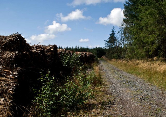
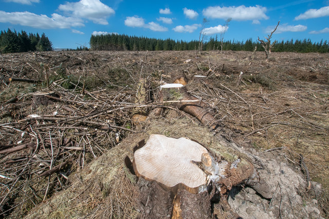
![Lennox Forest [2] Stacked lumber.](https://s2.geograph.org.uk/geophotos/04/56/95/4569542_266ada37.jpg)
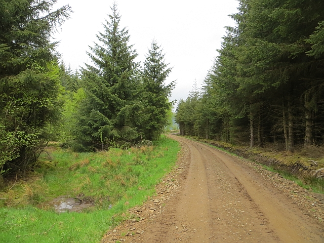
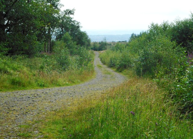
![Lennox Forest [4] This area was known as Mounthuille before the plantation took over.](https://s3.geograph.org.uk/geophotos/04/56/97/4569755_26a3559c.jpg)
Craigmaddie Muir is located at Grid Ref: NS5876 (Lat: 55.961749, Lng: -4.2685955)
Unitary Authority: East Dunbartonshire
Police Authority: Greater Glasgow
What 3 Words
///dignify.observes.gravy. Near Strathblane, Stirling
Nearby Locations
Related Wikis

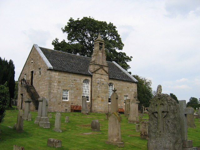
Baldernock
Baldernock (; Gaelic: Baile D' Earnaig) meaning 'settlement of St Earnaig' (Iain Mac an Táilleir, Sabhall Mór Ostaig) is a small parish in East Dunbartonshire...
Loch Ardinning
Loch Ardinning (Scottish Gaelic: Loch Àird Dùnain) is a body of freshwater in the district of Stirling in Scotland, lying to the south of the village of...

Milngavie water treatment works
Milngavie water treatment works (commonly known as The Waterworks) is a Scottish Water-operated water treatment facility located in Milngavie, Scotland...

Barnellan
Barnellan is a small hamlet in East Dunbartonshire, Scotland, situated in the civil parish of Baldernock. It consists of a few houses and a farm, the latter...
Nearby Amenities
Located within 500m of 55.961749,-4.2685955Have you been to Craigmaddie Muir?
Leave your review of Craigmaddie Muir below (or comments, questions and feedback).