Buchlyvie Muir
Downs, Moorland in Stirlingshire
Scotland
Buchlyvie Muir
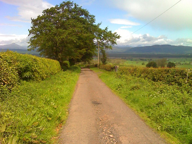
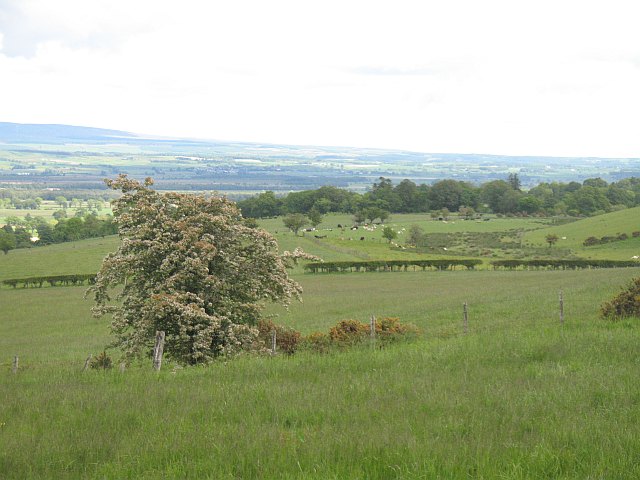
Buchlyvie Muir is a picturesque area located in Stirlingshire, Scotland. It is situated approximately 15 miles west of Stirling and 20 miles north of Glasgow. The area is characterized by its beautiful downs and moorland landscapes, offering breathtaking views of the surrounding countryside.
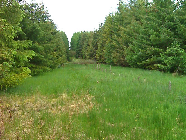
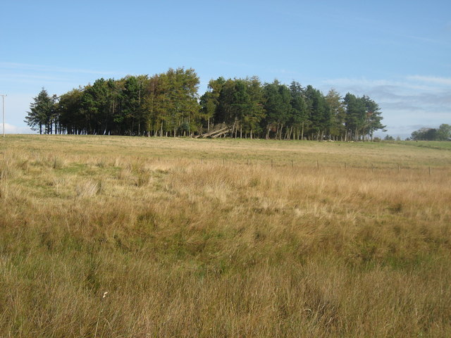
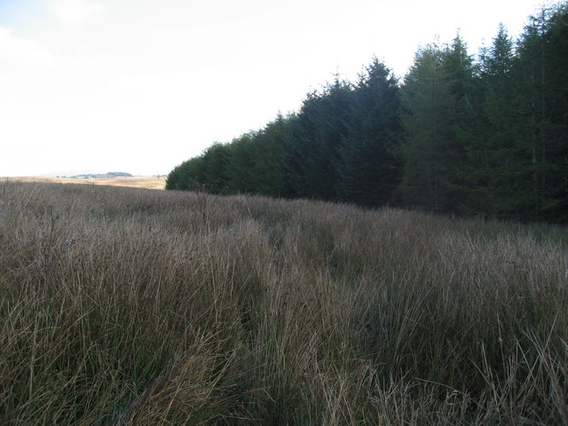
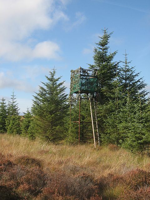
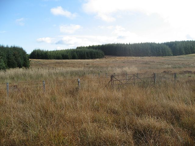
The downs of Buchlyvie Muir are gently rolling hills covered in lush green grass, providing a tranquil setting for visitors to enjoy. This open and expansive terrain is perfect for outdoor activities such as walking, hiking, and picnicking. The moorland, on the other hand, is a more rugged and wild landscape, characterized by heather and bracken-covered hillsides.
Buchlyvie Muir is home to a diverse range of flora and fauna, with various species of birds, mammals, and plants inhabiting the area. The muir is also known for its rich history, with remnants of ancient settlements and archaeological sites scattered throughout the landscape.
Visitors to Buchlyvie Muir can take advantage of the numerous walking trails and paths that crisscross the area, allowing them to explore the natural beauty and wildlife at their own pace. The muir is also a popular spot for birdwatching, with several species of birds, including red kites and buzzards, being regularly spotted.
Overall, Buchlyvie Muir in Stirlingshire offers a peaceful and scenic retreat for nature lovers, providing a chance to immerse oneself in the beauty of Scotland's countryside.
If you have any feedback on the listing, please let us know in the comments section below.
Buchlyvie Muir Images
Images are sourced within 2km of 56.09667/-4.2791151 or Grid Reference NS5891. Thanks to Geograph Open Source API. All images are credited.


Buchlyvie Muir is located at Grid Ref: NS5891 (Lat: 56.09667, Lng: -4.2791151)
Unitary Authority: Stirling
Police Authority: Forth Valley
What 3 Words
///bordering.case.truth. Near Balfron, Stirling
Nearby Locations
Related Wikis
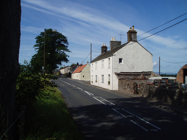
Buchlyvie
Buchlyvie is a village in the Stirling council area of Scotland. It is situated 14 miles (23 km) west of Stirling and 18 miles (29 km) north of Glasgow...
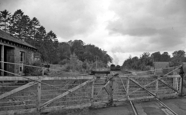
Buchlyvie railway station
Buchlyvie railway station served the village of Buchlyvie, Stirling, Scotland, from 1856 to 1959 on the Forth and Clyde Junction Railway. == History... ==

Balfron High School
Balfron High School is a secondary school situated in the village of Balfron, approximately 18 miles (29 km) west of Stirling and 16 miles (26 km) north...

A811 road
The A811 is a road in central Scotland. It runs from Stirling to Balloch. == Route == The road starts off in the centre of Stirling, at the Craigs Roundabout...
Arnprior, Stirling
Arnprior is a hamlet in the Stirling council area of Scotland on the A811 about 12 miles west of Stirling and is one of the smallest community council...

Balfron
Balfron (Scottish Gaelic: Both Fron) is a village in the Stirling council area of Scotland. It is situated near Endrick Water on the A875 road, 18 miles...

Ballikinrain
Ballikinrain is an independent residential school in Stirling, central Scotland. It is run by CrossReach, a social care outreach arm of the Church of Scotland...
Port of Menteith railway station
Port of Menteith railway station served the village of Port of Menteith, Stirling, Scotland, from 1856 by 1934 on the Forth and Clyde Junction Railway...
Have you been to Buchlyvie Muir?
Leave your review of Buchlyvie Muir below (or comments, questions and feedback).