Blood Moss
Downs, Moorland in Ayrshire
Scotland
Blood Moss

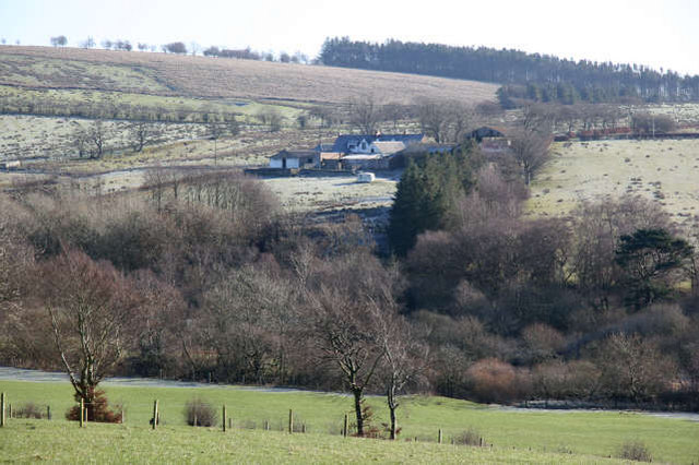
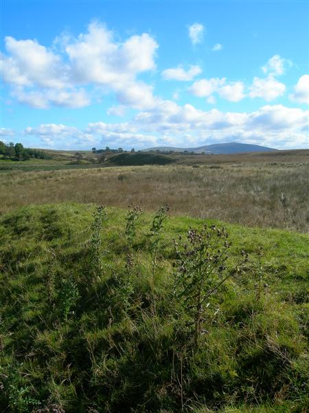
Blood Moss, Ayrshire, is a unique and picturesque region located in southwestern Scotland. Known for its diverse landscape, it encompasses a combination of downs, moorland, and marshes. The area is named after the distinctive red hue of the moss that covers the terrain, giving it a captivating and somewhat eerie appearance.
The downs in Blood Moss offer vast expanses of rolling hills, covered in lush green grass and scattered with wildflowers during the summer months. These gentle slopes provide breathtaking panoramic views, attracting hikers, nature enthusiasts, and photographers alike. The downs are also home to a variety of wildlife, including red deer, rabbits, and various bird species.
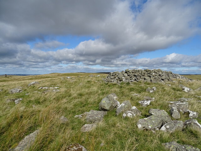
In contrast, the moorland of Blood Moss is characterized by its rugged and wild nature. Here, one can find vast stretches of heather, interspersed with patches of gorse and bracken. The moorland is crisscrossed by narrow paths, offering opportunities for exploration and discovery. Explorers may come across hidden waterfalls, ancient stone circles, and remnants of old farmsteads, adding a touch of mystery to the landscape.
The marshes of Blood Moss are a paradise for birdwatchers, as they provide a haven for a wide array of wetland species. These wetlands are teeming with life, from wading birds like curlews and herons to waterfowl such as ducks and grebes. Rare species, such as the Eurasian bittern, can also be spotted in these wet habitats.
Overall, Blood Moss, Ayrshire, with its combination of downs, moorland, and marshes, offers a captivating and diverse natural environment, providing a paradise for nature enthusiasts seeking beauty and tranquility.
If you have any feedback on the listing, please let us know in the comments section below.
Blood Moss Images
Images are sourced within 2km of 55.526686/-4.2544116 or Grid Reference NS5728. Thanks to Geograph Open Source API. All images are credited.


Blood Moss is located at Grid Ref: NS5728 (Lat: 55.526686, Lng: -4.2544116)
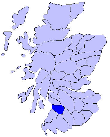
Unitary Authority: East Ayrshire
Police Authority: Ayrshire
What 3 Words
///qualify.handover.dialects. Near Catrine, East Ayrshire
Nearby Locations
Related Wikis

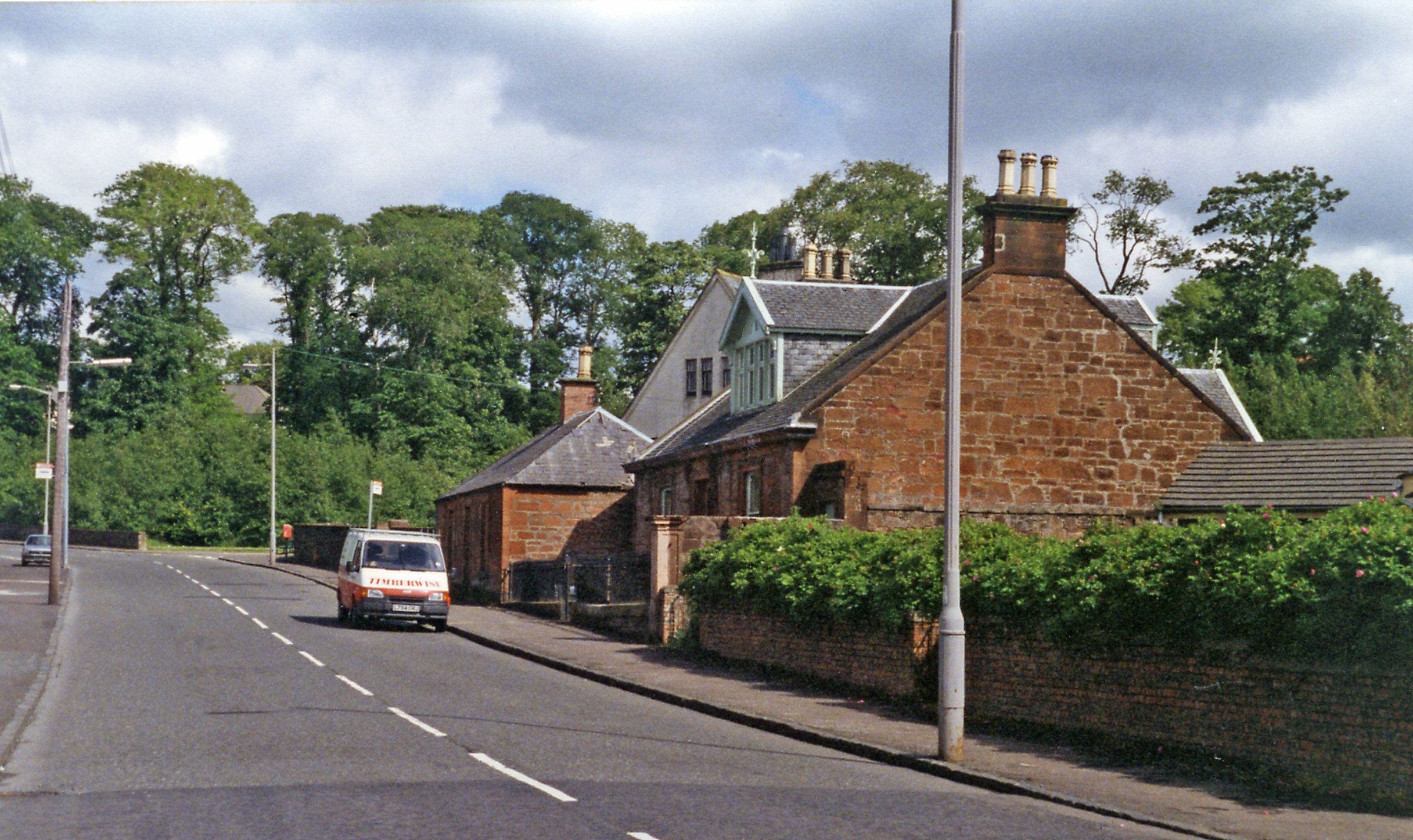
Sorn, East Ayrshire
Sorn (Scottish Gaelic: Sorn, meaning a kiln) is a small village in East Ayrshire, Scotland. It is situated on the River Ayr. It has a population of roughly...

Sorn Castle
Sorn Castle is located by the River Ayr just outside the village of Sorn in East Ayrshire, Scotland. The castle comprises a medieval tower house, which...

East Ayrshire
East Ayrshire (Scots: Aest Ayrshire; Scottish Gaelic: Siorrachd Àir an Ear) is one of 32 unitary council areas of Scotland. It shares borders with Dumfries...
Kyle, Ayrshire
Kyle (or Coila poetically; Scottish Gaelic: Cuil) is a former comital district of Scotland which stretched across parts of modern-day East Ayrshire and...

Garpel Linn
Garpel Linn is a waterfall of Scotland. == See also == Waterfalls of Scotland == References ==
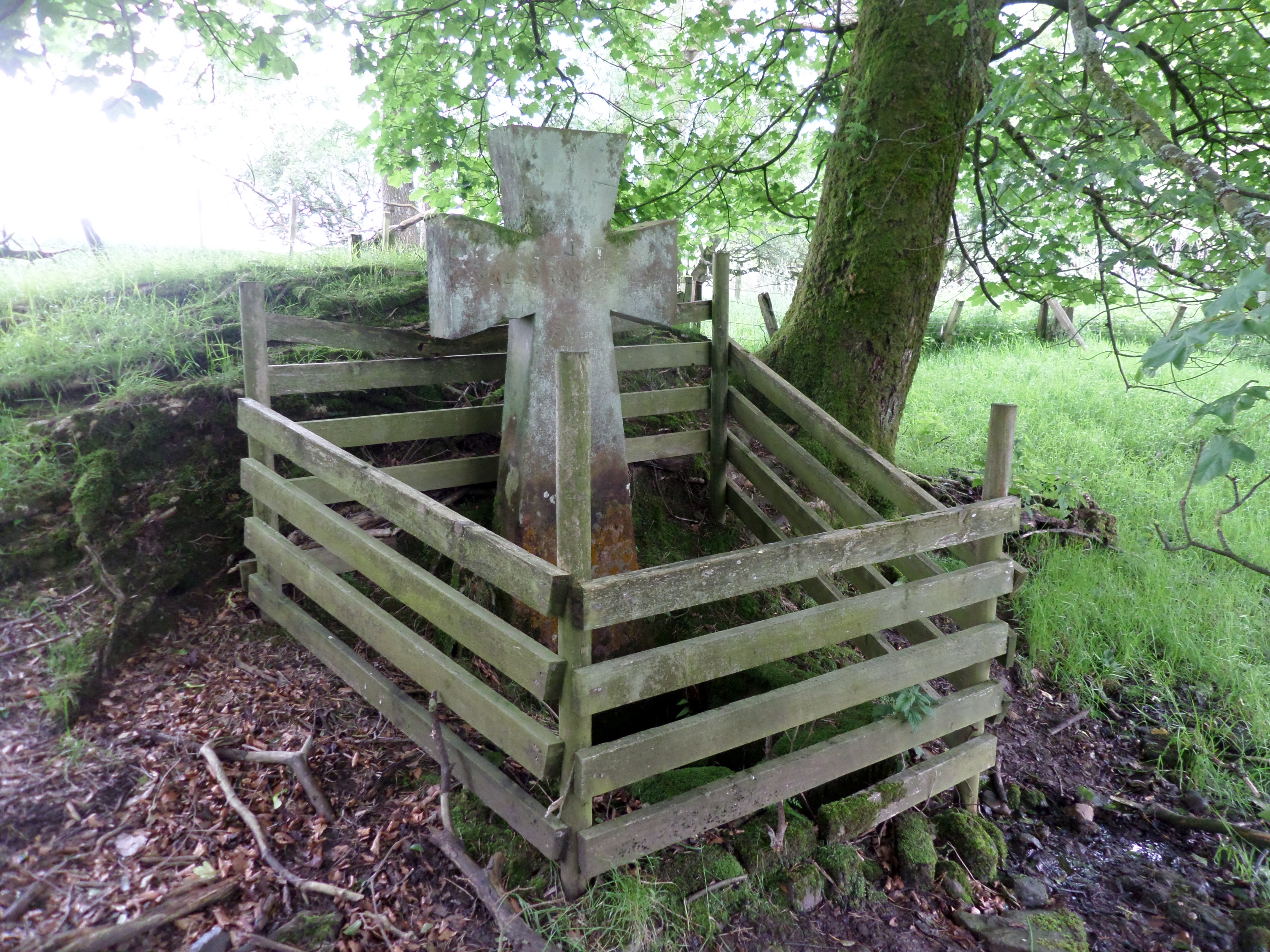
Lady's Well, Auchmannoch
The Lady's Well is a natural spring surmounted by a large cross that stands beside the Stra Burn Ford (NS254630) near Auchmannoch House in the Parish of...
Airds Moss
Airds Moss is a large area of moor in East Ayrshire, the site is a protected area because of the extensive blanket bogs. In 1680 it was the location of...
Catrine railway station
Catrine railway station served the village of Catrine in East Ayrshire, Scotland. Open 1903–1943, except for a temporary closure, the station was the only...
Have you been to Blood Moss?
Leave your review of Blood Moss below (or comments, questions and feedback).