Craigbarnet Muir

Downs, Moorland in Stirlingshire

Scotland

Craigbarnet Muir

Crags, Coire of Balglass. The big vegetated crag at the back of Coire of Balglass. This is a refuge for the sort of plants that would be growing on the hill if it were not for the grazing.
Crags, Coire of Balglass. Credit: Richard Webb

Craigbarnet Muir is a picturesque area located in the region of Stirlingshire, Scotland. Situated in the southern part of the county, this area is known for its stunning downs and expansive moorland. Spanning over a vast area, the landscape of Craigbarnet Muir offers visitors a glimpse into the untouched beauty of the Scottish countryside.

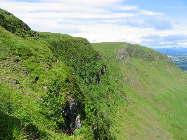
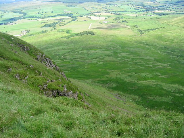
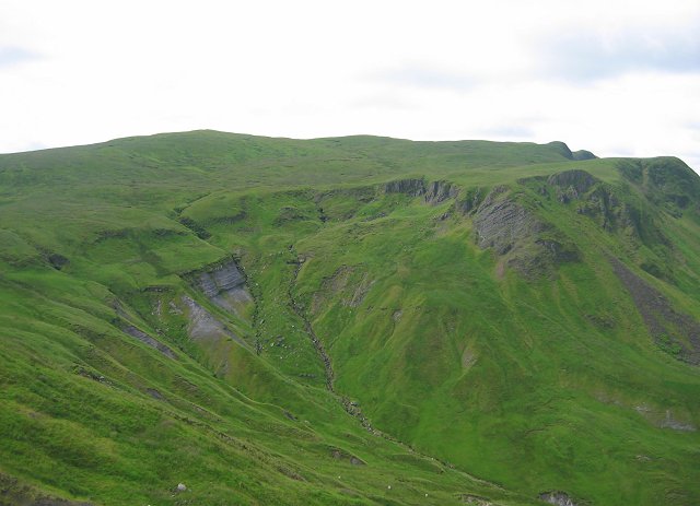
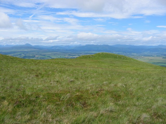
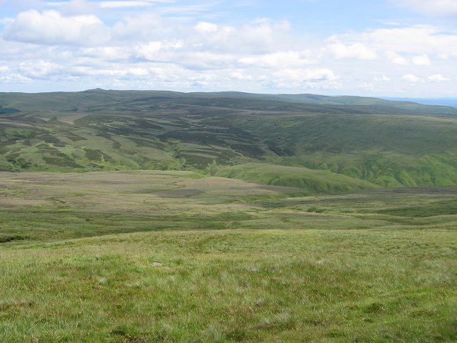
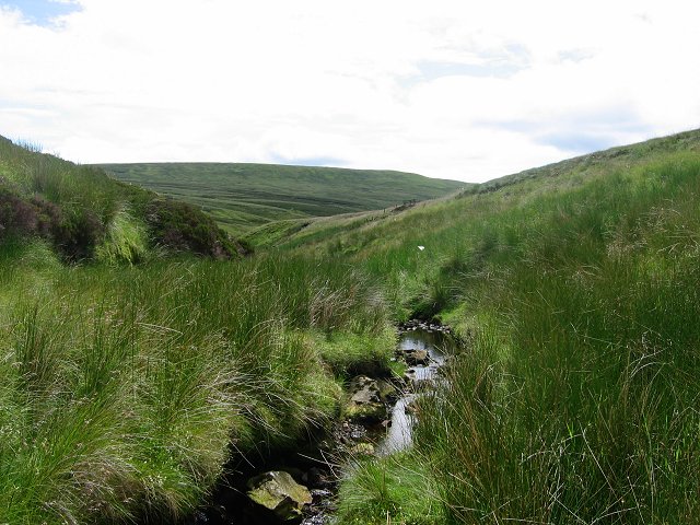
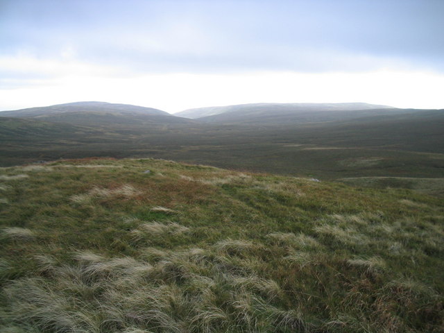
The downs of Craigbarnet Muir are characterized by rolling hills and sweeping valleys, creating a scenic backdrop for outdoor enthusiasts. The lush greenery and diverse flora and fauna make this area a haven for hikers, walkers, and nature lovers. The downs are home to a variety of wildlife, including deer, rabbits, and various bird species, making it a popular destination for wildlife enthusiasts.

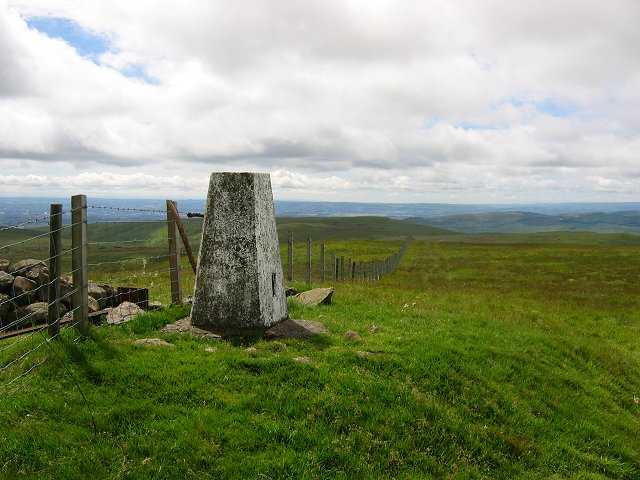
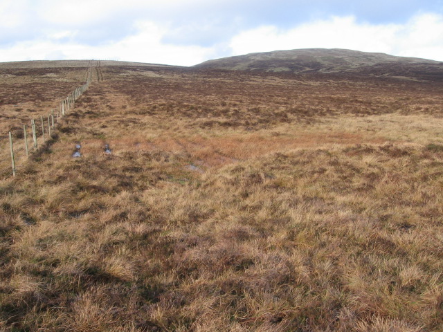
In addition to the downs, Craigbarnet Muir boasts vast stretches of moorland. The moorland is characterized by its open, treeless landscape, covered in heather and grasses. This unique habitat provides a home for various bird species, including grouse and curlews, as well as other small mammals and insects.

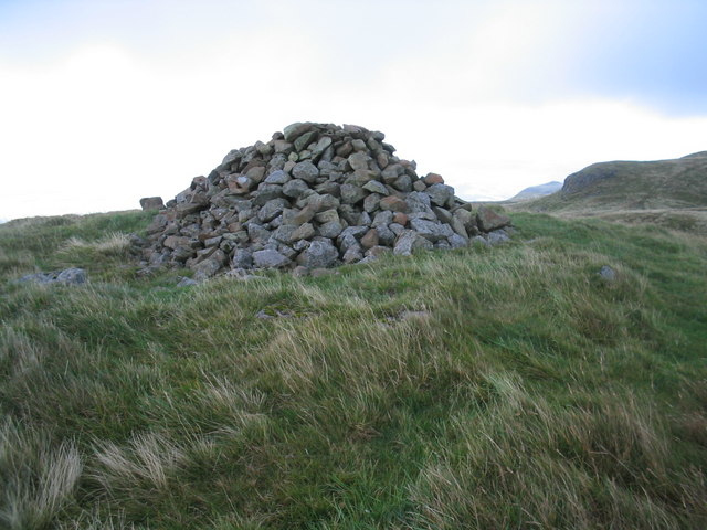
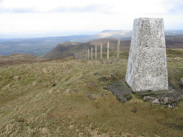
Visitors to Craigbarnet Muir can enjoy a range of activities, including hiking, birdwatching, and photography. The area offers numerous trails and paths, allowing visitors to explore the downs and moorland at their own pace. The tranquility and natural beauty of Craigbarnet Muir make it an ideal destination for those seeking a peaceful escape from the hustle and bustle of city life.

Overall, Craigbarnet Muir in Stirlingshire offers a captivating blend of downs and moorland, providing a haven for nature enthusiasts and a scenic escape for all who visit.

If you have any feedback on the listing, please let us know in the comments section below.

Craigbarnet Muir Images

Images are sourced within 2km of 56.020339/-4.2869867 or Grid Reference NS5783. Thanks to Geograph Open Source API. All images are credited.

Crags, Coire of Balglass. The big vegetated crag at the back of Coire of Balglass. This is a refuge for the sort of plants that would be growing on the hill if it were not for the grazing.
Crags, Coire of Balglass.
The big vegetated crag at the back of Coire of Balglass. This is a refuge for the sort of plants that would be growing on the hill if it were not for the grazing.
Corrie of Balglass The floor of the corrie takes up a fair chunk of this square. looking into the depths from the western rim.
Corrie of Balglass
The floor of the corrie takes up a fair chunk of this square. looking into the depths from the western rim.
Jocks Cairn. On the small sharp summit of Barniemore. View over the square showing the new forestry plantations below the scarp.
Jocks Cairn.
On the small sharp summit of Barniemore. View over the square showing the new forestry plantations below the scarp.
Little Corrie Another chunk bitten out of the north side of the Campsie Fells.  This is smaller than Balglass, but still a very scenic feature. The highest point of the skyline is Earl's Seat, the highest point in the Campsie Fells.
Little Corrie
Another chunk bitten out of the north side of the Campsie Fells. This is smaller than Balglass, but still a very scenic feature. The highest point of the skyline is Earl's Seat, the highest point in the Campsie Fells.
Moorland, Earl's Seat. The plateau, just below the summit of Earl's Seat, and before the plunge over the scap.
Moorland, Earl's Seat.
The plateau, just below the summit of Earl's Seat, and before the plunge over the scap.
Summit, Earl's Seat Highest point in the Campsie Fells and a fine view point overlooking Glasgow and Loch Lomond.
Summit, Earl's Seat
Highest point in the Campsie Fells and a fine view point overlooking Glasgow and Loch Lomond.
Campsie Plateau Eastward view from below the summit of Earl's seat showing the big undulating boggy plateau of the Campsie Fells.
Campsie Plateau
Eastward view from below the summit of Earl's seat showing the big undulating boggy plateau of the Campsie Fells.
Upper Finglen A small burn running off Earl's Seat - this soon becomes a deep glen dividing the southern scarp of the Campsie Fells.
Upper Finglen
A small burn running off Earl's Seat - this soon becomes a deep glen dividing the southern scarp of the Campsie Fells.
Ballagan Tops cairn This cairn lies on the more westerly of the two Ballagan tops.
Ballagan Tops cairn
This cairn lies on the more westerly of the two Ballagan tops.
View from Ballagan Tops down Ballagan Burn View of the head of the valley formed by Ballagan Burn with typical tussocky moorland grass in the foreground.
View from Ballagan Tops down Ballagan Burn
View of the head of the valley formed by Ballagan Burn with typical tussocky moorland grass in the foreground.
Dumbreck Trig Point The trig point is found just below the highest point of Dumbreck, a small lump on the ridge south of Earl's Seat.
Dumbreck Trig Point
The trig point is found just below the highest point of Dumbreck, a small lump on the ridge south of Earl's Seat.
Summit of Owsen Hill Lonely summit in the Campsies
Summit of Owsen Hill
Lonely summit in the Campsies
Little Earl Summit Little visited summit in the Campsies
Little Earl Summit
Little visited summit in the Campsies
Between Owsen Hill and Little Earl
Earl's Seat trig point S1622 towards Allanrowie
Dumbreck trig point S3669 towards Cort-ma-Law
Fin Glen
Fin Glen
Across Fin Glen and Craigbarnet Muir to Earl's Seat
Show me another place!

Craigbarnet Muir is located at Grid Ref: NS5783 (Lat: 56.020339, Lng: -4.2869867)

Unitary Authority: East Dunbartonshire

Police Authority: Greater Glasgow

What 3 Words

///geek.reforming.arranger. Near Strathblane, Stirling

Nearby Locations

Craigbarnet Muir

Related Wikis

Earl's Seat

Earl's Seat (578 m) is the highest hill of the Campsie Fells in Central Scotland. It lies on the border of Stirlingshire and East Dunbartonshire in central...

Campsie Fells

The Campsie Fells (also known as the Campsies; Scottish Gaelic: Monadh Chamaisidh) are a range of hills in central Scotland, stretching east to west from...

Campsie, East Dunbartonshire

Campsie is a civil parish in East Dunbartonshire, Scotland. The parish was formerly part of Stirlingshire. == Settlements == Auchenreoch Clachan of Campsie...

Dumfoyn

Dumfoyn is a hill in the Campsie Fells of Scotland. It is a volcanic plug, and rises to 426 metres (1,398 ft). It sits beside another hill, Dumgoyne which...

Nearby Amenities

Located within 500m of 56.020339,-4.2869867
Craigbarnet Muir
Place: locality
Lat/Long: 56.0192531/-4.2922613
The data included in this document is from www.openstreetmap.org. The data is made available under ODbL.

Have you been to Craigbarnet Muir?

Leave your review of Craigbarnet Muir below (or comments, questions and feedback).