Gwernhywel Bach
Settlement in Denbighshire
Wales
Gwernhywel Bach
The requested URL returned error: 429 Too Many Requests
If you have any feedback on the listing, please let us know in the comments section below.
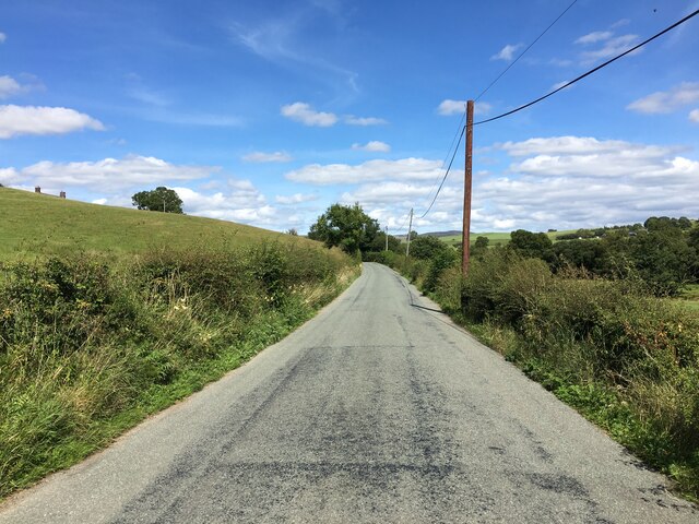
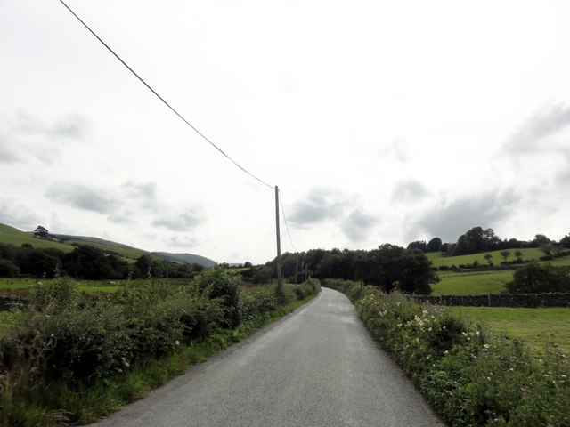
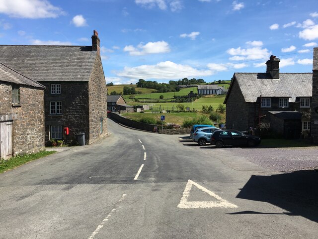
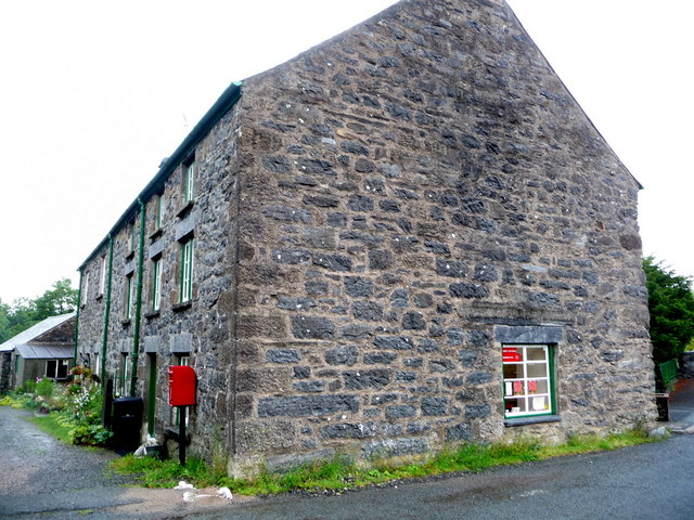
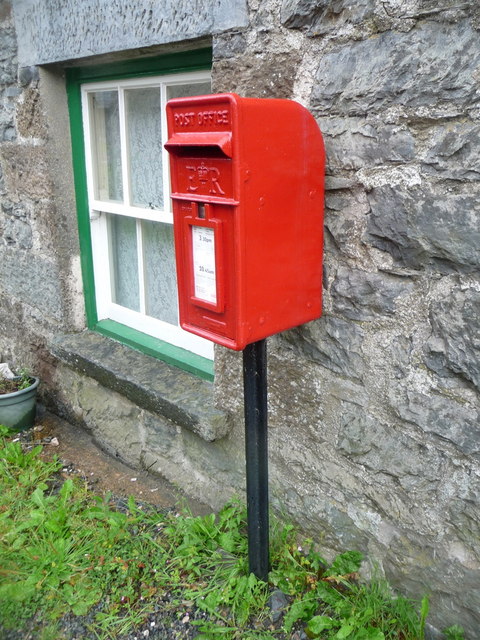
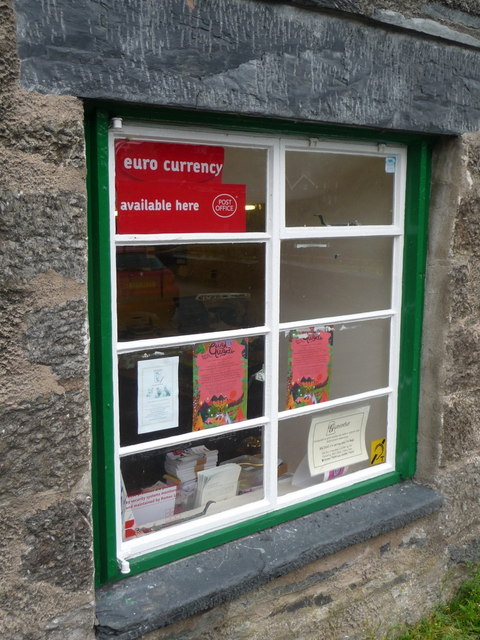
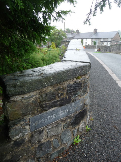
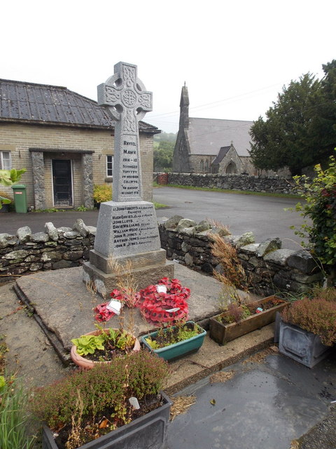
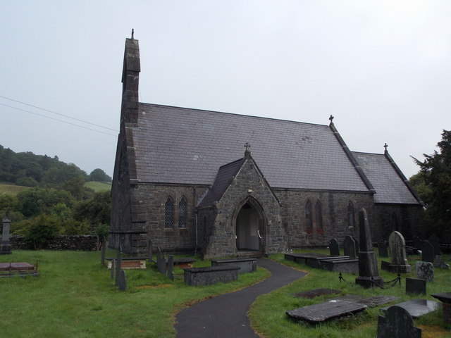
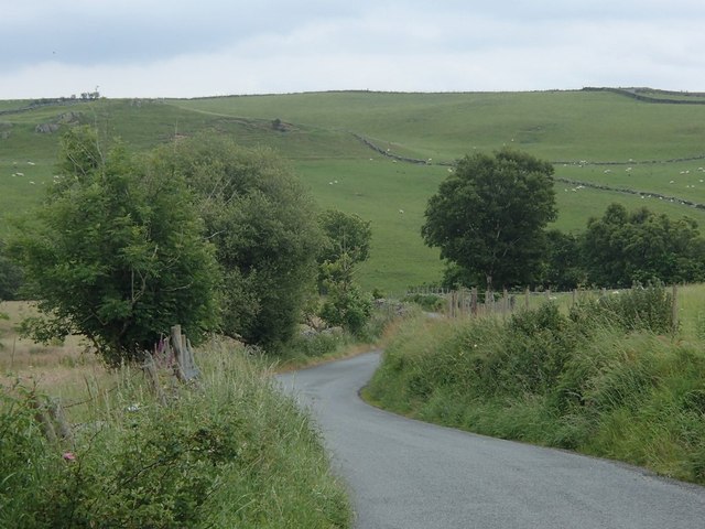
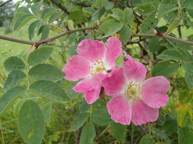
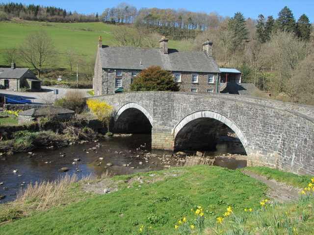
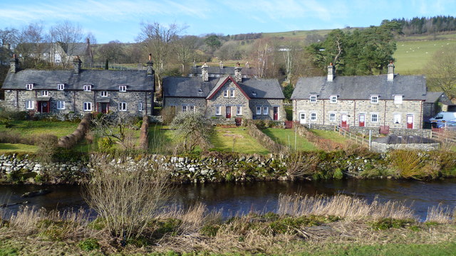
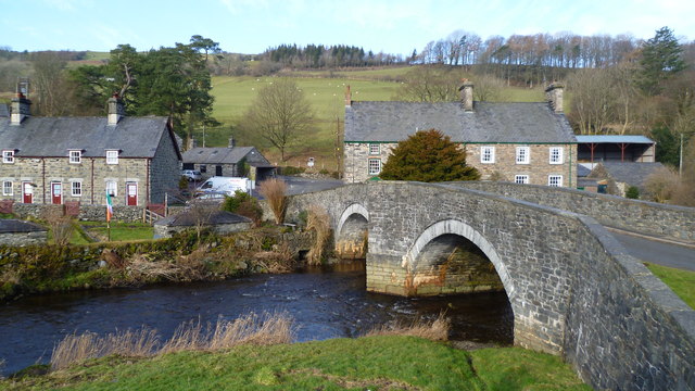
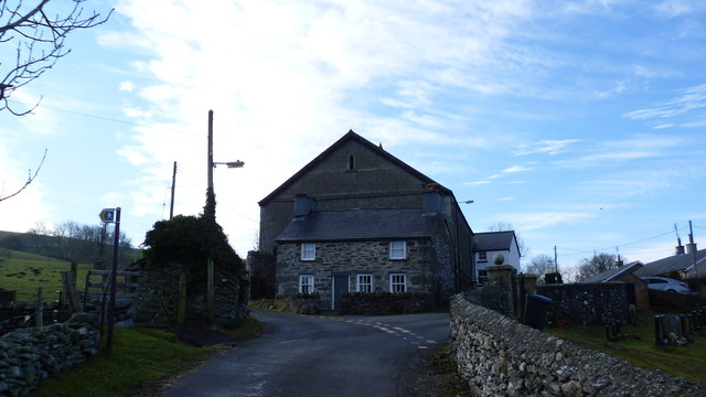
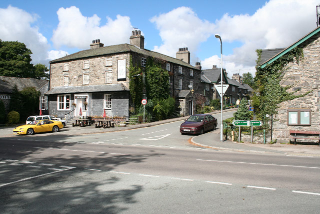
Gwernhywel Bach Images
Images are sourced within 2km of 53.025891/-3.7160909 or Grid Reference SH8549. Thanks to Geograph Open Source API. All images are credited.


Gwernhywel Bach is located at Grid Ref: SH8549 (Lat: 53.025891, Lng: -3.7160909)
Unitary Authority: Conwy
Police Authority: North Wales
What 3 Words
///likes.megawatt.rejoined. Near Betws-y-Coed, Conwy
Nearby Locations
Related Wikis

Ysbyty Ifan
Ysbyty Ifan (often formerly anglicised as Yspytty Ifan) is a small, historic village and community in the Conwy County Borough of Wales. The population...

Afon Merddwr
Afon Merddwr is a river in the south of the county of Conwy, Wales. It is a tributary of the River Conwy and joins it near Pentrefoelas. It is about 10...

Rhiw Llwyd
Rhiw Llwyd is the name of an early medieval Wales lordship which was created in the Kingdom of Gwynedd in the 12th century for Tomas ap Rhodri ab Owain...
Pentrefoelas
Pentrefoelas is a village and community in Conwy County Borough, Wales. The village lies on the A5 road between Betws-y-Coed to the west and Cerrigydrudion...
Related Videos
Part of our summer during #Covid-19/More to come!!!
This is part of our summer during #Covid-19 more to come!!
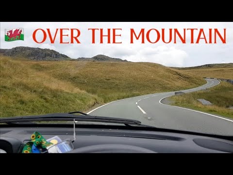
🏴 VanLife UpNorth S07E38 Snowdonia: Over the Mountain to Bala Lake
In this episode I head over a mountain pass in Snowdonia to some remote villages including Ysbyty Ifan before dropping down to ...
Nearby Amenities
Located within 500m of 53.025891,-3.7160909Have you been to Gwernhywel Bach?
Leave your review of Gwernhywel Bach below (or comments, questions and feedback).