Auchmannoch Muir
Downs, Moorland in Ayrshire
Scotland
Auchmannoch Muir

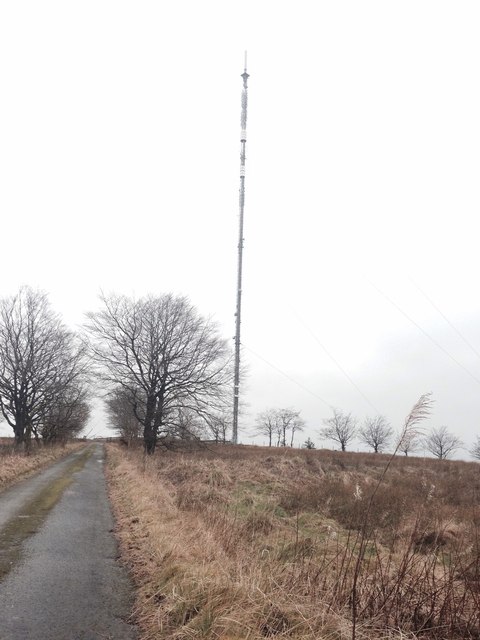
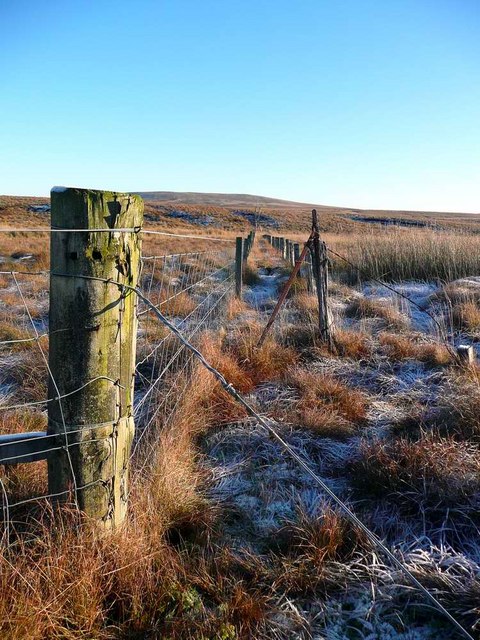
Auchmannoch Muir, Ayrshire, is a vast expanse of downs and moorland located in southwestern Scotland. Stretching over an area of approximately 3,000 acres, it is known for its unique and diverse natural features. The muir is characterized by gently rolling hills covered in heather, grasses, and wildflowers, creating a picturesque landscape that attracts visitors and nature enthusiasts.
The muir is home to a wide variety of wildlife, including birds, mammals, and insects. Birdwatchers can spot species such as skylarks, lapwings, and meadow pipits, while red grouse can be found nesting in the heather. The presence of wetlands in the area provides a habitat for waterfowl and wading birds.
Auchmannoch Muir is also rich in archaeological remains, with prehistoric and medieval sites scattered across its terrain. These include burial cairns, stone circles, and the remains of ancient settlements, offering insight into the area's long history.
The muir is crisscrossed by a network of walking trails, allowing visitors to explore its beauty at their own pace. The paths provide access to panoramic views of the surrounding countryside, including the nearby rolling hills and distant mountains.
Auchmannoch Muir is a protected area, managed by local authorities to preserve its natural and cultural heritage. It serves as an important ecological corridor, connecting various habitats and supporting biodiversity in the region.
Overall, Auchmannoch Muir offers a tranquil and captivating experience for those seeking to immerse themselves in the beauty of Scotland's downs and moorland.
If you have any feedback on the listing, please let us know in the comments section below.
Auchmannoch Muir Images
Images are sourced within 2km of 55.566495/-4.2795954 or Grid Reference NS5632. Thanks to Geograph Open Source API. All images are credited.


Auchmannoch Muir is located at Grid Ref: NS5632 (Lat: 55.566495, Lng: -4.2795954)
Unitary Authority: East Ayrshire
Police Authority: Ayrshire
What 3 Words
///insulated.booklet.lifelong. Near Darvel, East Ayrshire
Nearby Locations
Related Wikis
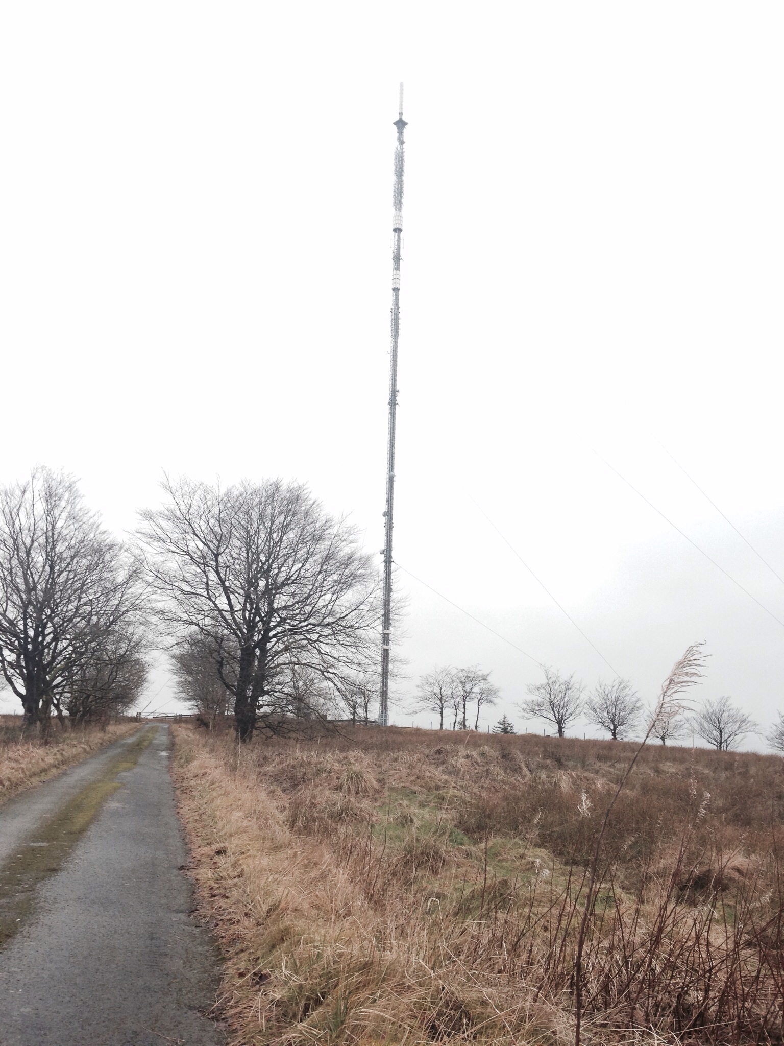
Darvel transmitting station
Darvel transmitting station is a broadcasting and telecommunications facility located near Darvel, East Ayrshire, Scotland (grid reference NS5567234132...
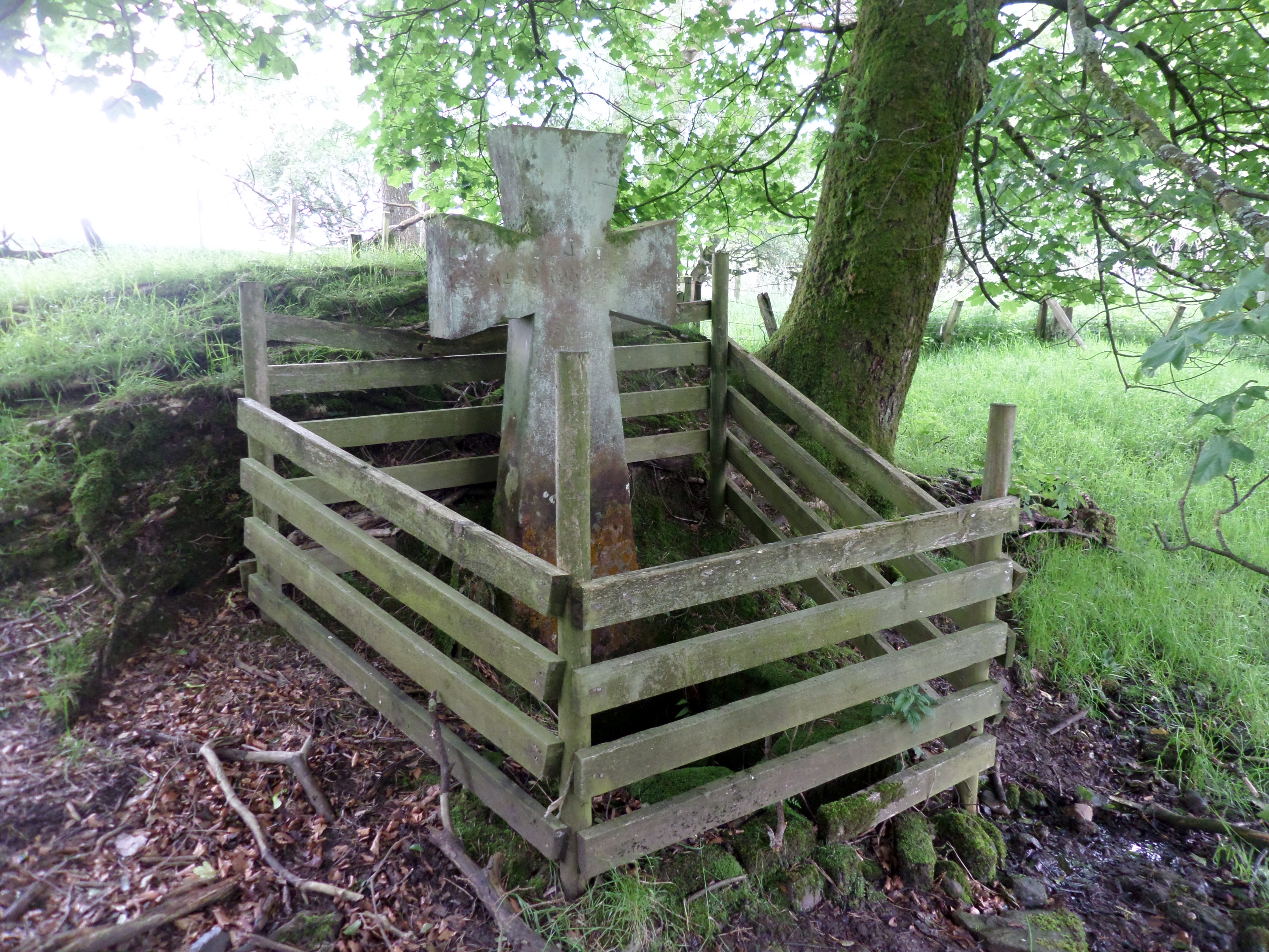
Lady's Well, Auchmannoch
The Lady's Well is a natural spring surmounted by a large cross that stands beside the Stra Burn Ford (NS254630) near Auchmannoch House in the Parish of...

Kilmarnock and Loudoun (UK Parliament constituency)
Kilmarnock and Loudoun is a county constituency of the House of Commons of the Parliament of the United Kingdom. It elects one Member of Parliament (MP...

Darvel F.C.
Darvel Football Club are a Scottish football club based in the town of Darvel, Ayrshire. Nicknamed "The Vale" and formed in 1889, the club play at Recreation...
Nearby Amenities
Located within 500m of 55.566495,-4.2795954Have you been to Auchmannoch Muir?
Leave your review of Auchmannoch Muir below (or comments, questions and feedback).