Black Burn Brae
Downs, Moorland in Kirkcudbrightshire
Scotland
Black Burn Brae

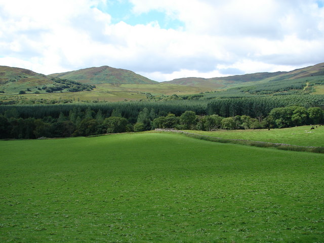
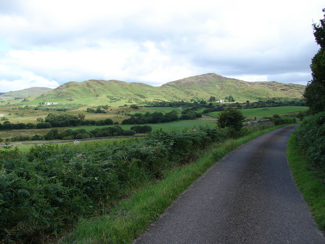
Black Burn Brae is a picturesque region located in Kirkcudbrightshire, Scotland. Situated amidst the rolling hills and breathtaking landscapes, this area is renowned for its downs and moorland. Covering a vast expanse, Black Burn Brae offers a haven for nature enthusiasts and outdoor adventurers.
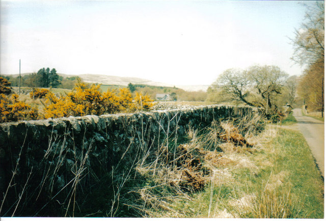
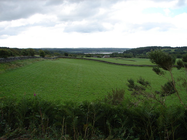
The downs of Black Burn Brae are characterized by their gently sloping hills, covered in lush green grasses and dotted with wildflowers during the blooming seasons. The soft undulations create a serene and peaceful atmosphere, making it an ideal location for leisurely walks and picnics. The downs also provide a panoramic view of the surrounding countryside, with distant hills and valleys creating a breathtaking backdrop.
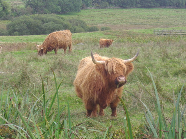
The moorland in Black Burn Brae is a captivating sight, with its vast stretches of heather and gorse. The purple hues of the heather and the golden yellow of the gorse create a stunning contrast against the rugged landscape. Moorland wildlife thrives in this area, with birds, small mammals, and insects making their homes among the vegetation.
Exploring Black Burn Brae offers an opportunity to observe the rich biodiversity of the region. Birdwatchers can spot various species, including buzzards, kestrels, and skylarks, soaring through the skies. The moorland is also home to a variety of flora, such as bilberry, cotton grass, and bog myrtle.
Overall, Black Burn Brae in Kirkcudbrightshire showcases the natural beauty of downs and moorland. Its tranquil ambiance, panoramic views, and diverse wildlife make it a must-visit destination for nature lovers and those seeking a respite from the hustle and bustle of everyday life.
If you have any feedback on the listing, please let us know in the comments section below.
Black Burn Brae Images
Images are sourced within 2km of 54.889404/-4.2434734 or Grid Reference NX5657. Thanks to Geograph Open Source API. All images are credited.


Black Burn Brae is located at Grid Ref: NX5657 (Lat: 54.889404, Lng: -4.2434734)
Unitary Authority: Dumfries and Galloway
Police Authority: Dumfries and Galloway
What 3 Words
///ramp.beaters.paler. Near Kirkcudbright, Dumfries & Galloway
Nearby Locations
Related Wikis
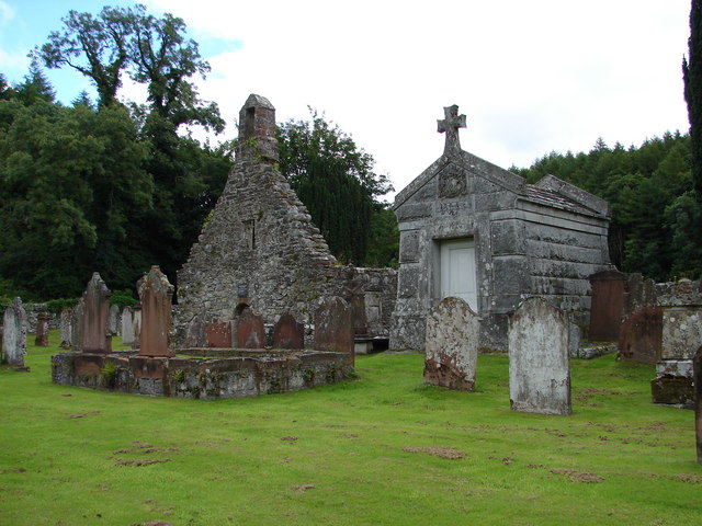
Anwoth Old Church
Anwoth Old Church is a ruined church building which was built in 1626 to serve the parish of Anwoth in Dumfries and Galloway, Scotland. It is roofless...
Anwoth
Anwoth is a settlement near the Solway Firth in the historic county of Kirkcudbrightshire, southwest Scotland, within a parish of the same name in the...

Anwoth Parish Church
Anwoth Parish Church was built in 1826 to serve the parish of Anwoth in Dumfries and Galloway, Scotland. Designed by Walter Newall, it replaced Anwoth...
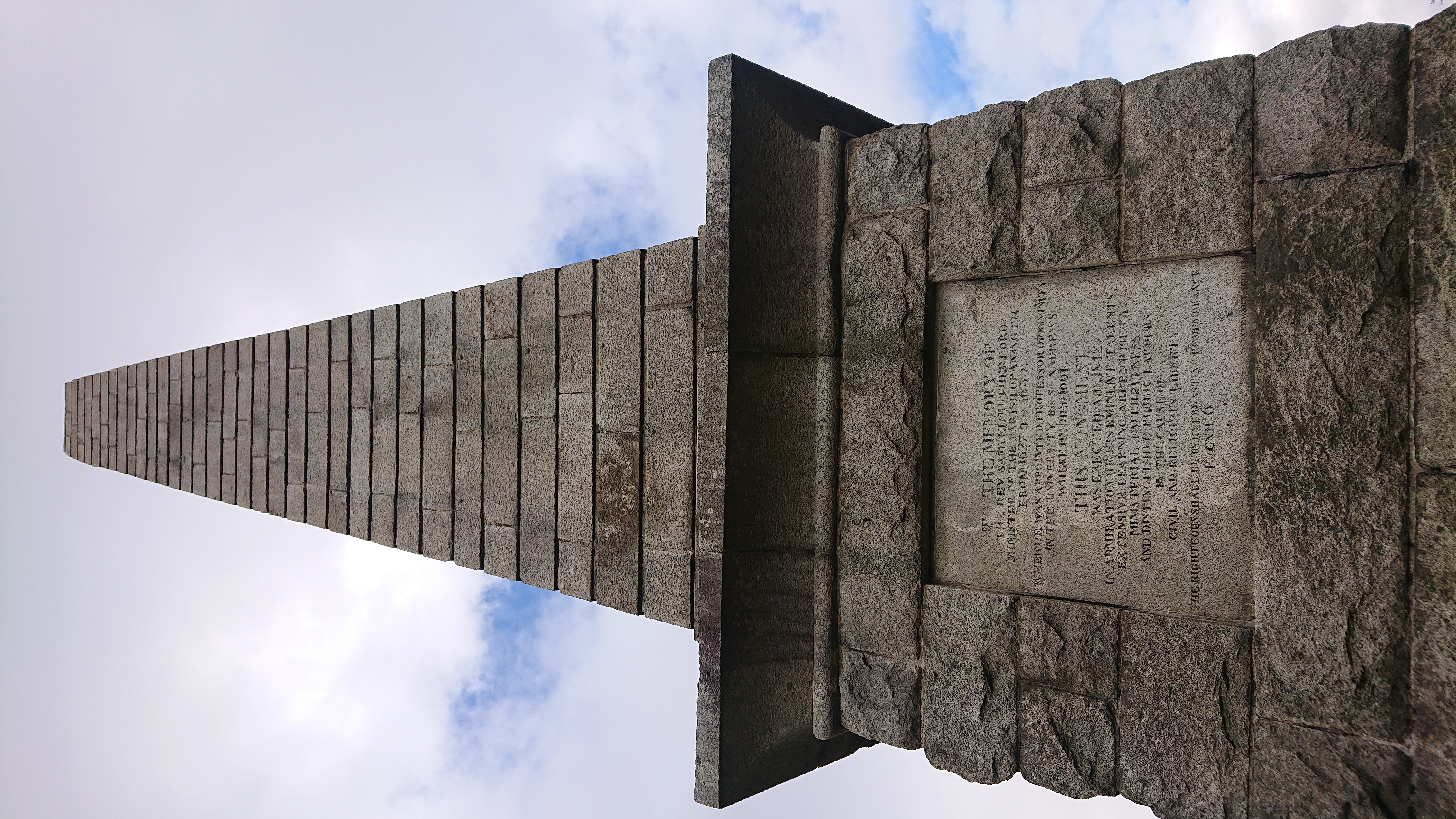
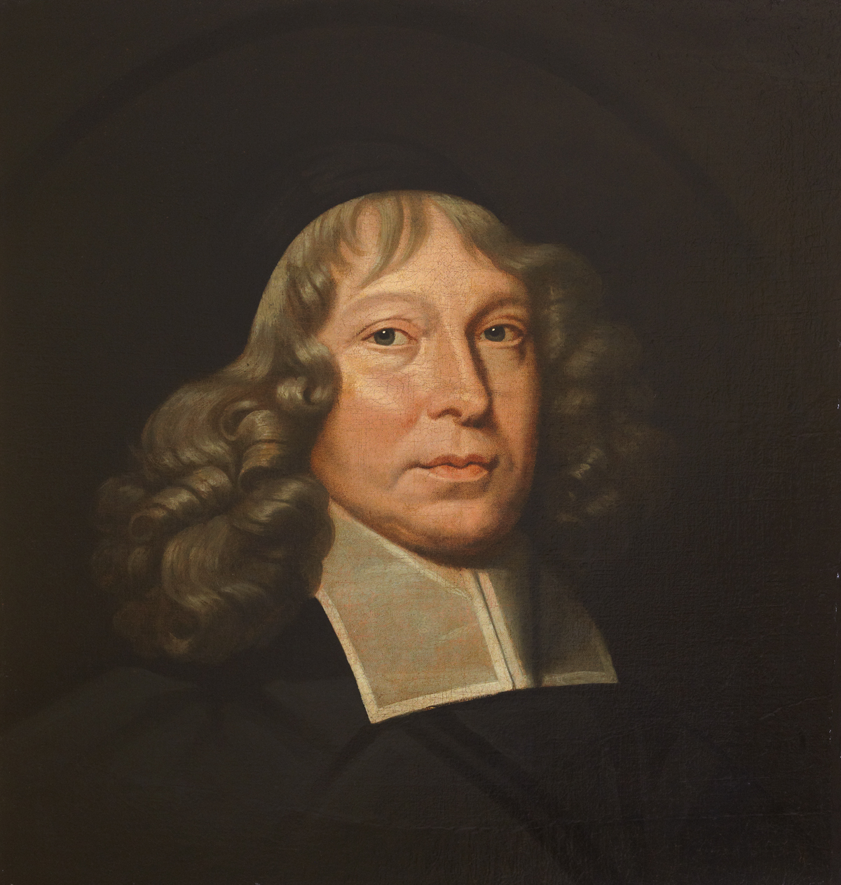
Rutherford's Monument
Rutherford's Monument is a commemorative monument between Anwoth and Gatehouse of Fleet in Dumfries and Galloway, Scotland. It is dedicated to the 17th...
Nearby Amenities
Located within 500m of 54.889404,-4.2434734Have you been to Black Burn Brae?
Leave your review of Black Burn Brae below (or comments, questions and feedback).