Cremannan Muir
Downs, Moorland in Stirlingshire
Scotland
Cremannan Muir

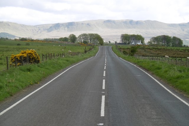
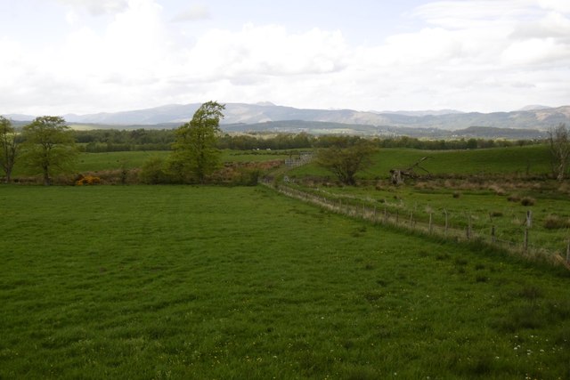
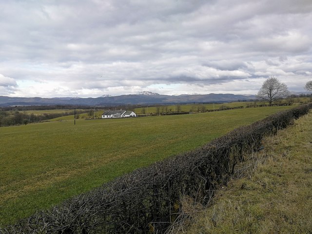
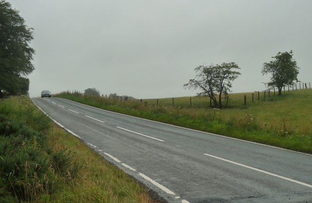
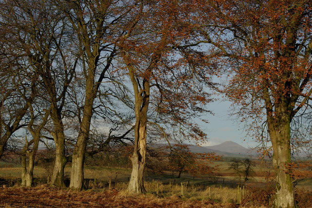
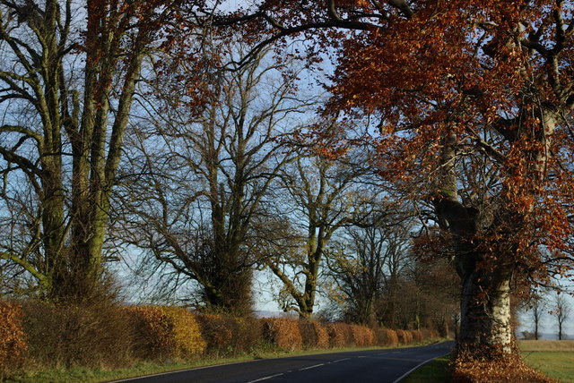
Cremannan Muir is a vast expanse of downs and moorland located in Stirlingshire, Scotland. This area is characterized by its open, undulating terrain, dotted with patches of heather, grasses, and scattered trees. The landscape is dominated by rolling hills and expansive views of the surrounding countryside.
Cremannan Muir is a popular destination for outdoor enthusiasts, offering opportunities for walking, hiking, birdwatching, and photography. The area is home to a variety of wildlife, including red deer, grouse, and various species of birds.
The moorland is also rich in archaeological history, with ancient settlements and burial sites dating back thousands of years. Visitors to Cremannan Muir can explore these historical sites and learn more about the area's past.
Overall, Cremannan Muir is a tranquil and picturesque destination, ideal for those seeking a peaceful escape in the heart of the Scottish countryside. Its natural beauty and rich history make it a must-visit location for nature lovers and history enthusiasts alike.
If you have any feedback on the listing, please let us know in the comments section below.
Cremannan Muir Images
Images are sourced within 2km of 56.087642/-4.3237034 or Grid Reference NS5590. Thanks to Geograph Open Source API. All images are credited.


Cremannan Muir is located at Grid Ref: NS5590 (Lat: 56.087642, Lng: -4.3237034)
Unitary Authority: Stirling
Police Authority: Forth Valley
What 3 Words
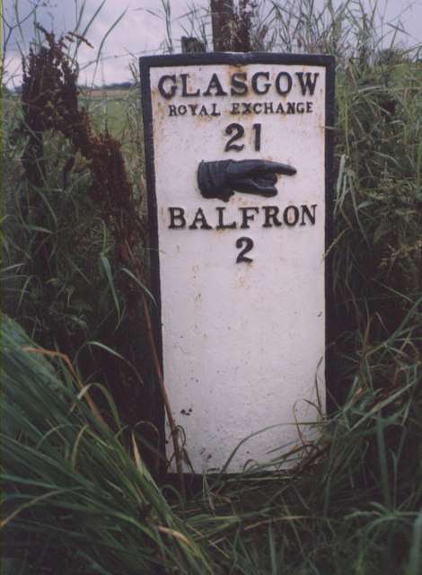
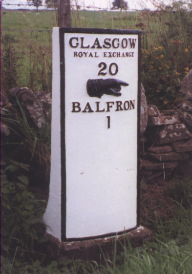
///insect.sensibly.shoelaces. Near Balfron, Stirling
Nearby Locations
Related Wikis

Balfron High School
Balfron High School is a secondary school situated in the village of Balfron, approximately 18 miles (29 km) west of Stirling and 16 miles (26 km) north...

Balfron
Balfron (Scottish Gaelic: Both Fron) is a village in the Stirling council area of Scotland. It is situated near Endrick Water on the A875 road, 18 miles...
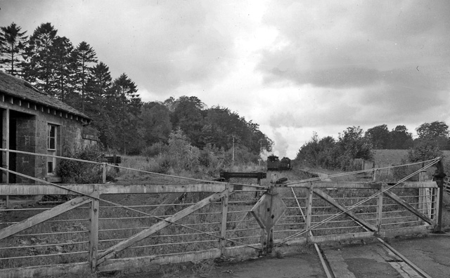
Buchlyvie railway station
Buchlyvie railway station served the village of Buchlyvie, Stirling, Scotland, from 1856 to 1959 on the Forth and Clyde Junction Railway. == History... ==

Balfron railway station
Balfron railway station was a railway station that served the village of Balfron in Scotland. The station was served by trains on the Strathendrick and...
Have you been to Cremannan Muir?
Leave your review of Cremannan Muir below (or comments, questions and feedback).