Dumbrock Muir
Downs, Moorland in Stirlingshire
Scotland
Dumbrock Muir

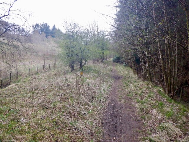
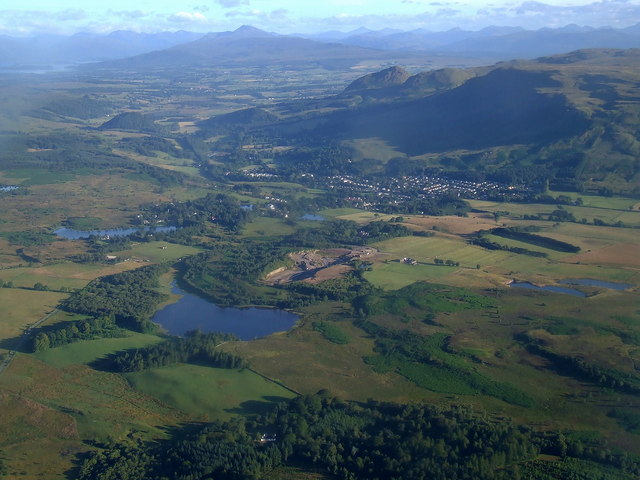
Dumbrock Muir is a vast expanse of downs and moorland located in the county of Stirlingshire, Scotland. Stretching across an area of approximately 300 acres, it is nestled amidst the picturesque landscapes of the Central Lowlands. The muir is situated to the northeast of the quaint village of Dumbrock and is a popular destination for nature enthusiasts, hikers, and birdwatchers.
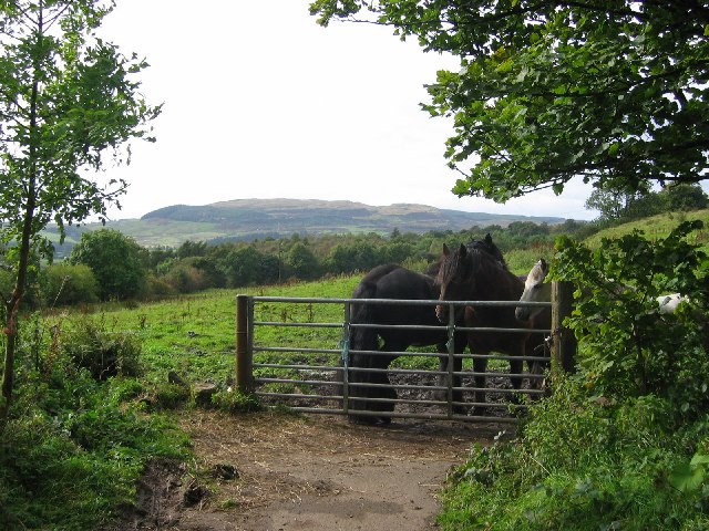
The landscape of Dumbrock Muir is characterized by gently rolling hills covered in heather and grasses, interspersed with patches of shrubs and scattered trees. The moorland is home to a wide variety of flora and fauna, including mosses, lichens, and wildflowers that bloom in vibrant colors during the warmer months. It also provides a habitat for various bird species, such as skylarks, buzzards, and kestrels, making it an ideal spot for birdwatching.
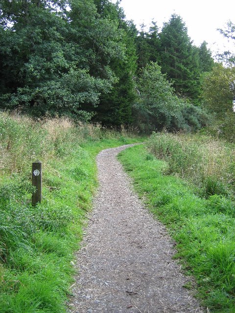
The muir is crisscrossed by a network of well-maintained footpaths, allowing visitors to explore its natural beauty and enjoy panoramic views of the surrounding countryside. The paths lead to several vantage points, offering breathtaking vistas of the nearby Trossachs National Park, the Ochil Hills, and the River Forth.
Dumbrock Muir is a tranquil haven away from the hustle and bustle of urban life, providing visitors with a peaceful and serene environment to unwind and reconnect with nature. It is also a designated Site of Special Scientific Interest (SSSI), recognizing its ecological importance and ensuring its preservation for future generations to appreciate and cherish.
If you have any feedback on the listing, please let us know in the comments section below.
Dumbrock Muir Images
Images are sourced within 2km of 55.976231/-4.3205101 or Grid Reference NS5578. Thanks to Geograph Open Source API. All images are credited.


![1856 valve house, Blane Valley One of five valve houses built as part of the Glasgow Corporation Water Works system to bring clean water from Loch Katrine to Glasgow. This is one of the original three built in 1856, and another, built in 1932 stands close by. These buildings, together with an associated ventilation shaft, and walls, make up a group of buildings which are Category C listed [<span class="nowrap"><a title="http://portal.historicenvironment.scot/designation/LB51146" rel="nofollow ugc noopener" href="http://portal.historicenvironment.scot/designation/LB51146">Link</a><img style="margin-left:2px;" alt="External link" title="External link - shift click to open in new window" src="https://s1.geograph.org.uk/img/external.png" width="10" height="10"/></span>].](https://s3.geograph.org.uk/geophotos/05/45/44/5454499_1a5c4bb7.jpg)
![Valve houses and ventilation shaft, Blane Valley On the left is one of the original 1856 valve houses from the Glasgow Corporation Water Works system which brought clean water from Loch Katrine to Glasgow. On the right is one of the 1932 valve houses. Both were built to control the flow of water in the large water pipes which run mainly below the ground. In the background is one of the ventilation shafts, above one of the pipes, with its very distinctive domed covering. The three structures, together with surrounding walls are Category B listed [<span class="nowrap"><a title="http://portal.historicenvironment.scot/designation/LB51146" rel="nofollow ugc noopener" href="http://portal.historicenvironment.scot/designation/LB51146">Link</a><img style="margin-left:2px;" alt="External link" title="External link - shift click to open in new window" src="https://s1.geograph.org.uk/img/external.png" width="10" height="10"/></span>].](https://s2.geograph.org.uk/geophotos/05/45/45/5454506_7aa86462.jpg)


Dumbrock Muir is located at Grid Ref: NS5578 (Lat: 55.976231, Lng: -4.3205101)
Unitary Authority: Stirling
Police Authority: Forth Valley
What 3 Words
///conjured.thin.clef. Near Strathblane, Stirling
Nearby Locations
Related Wikis
Mugdock Country Park
Mugdock Country Park is a country park and historical site located partly in East Dunbartonshire and partly in Stirling, in the former county of Stirlingshire...

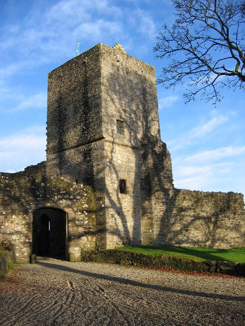
Mugdock Castle
Mugdock Castle was the stronghold of the Clan Graham from the middle of the 13th century. Its ruins are located in Mugdock Country Park, just west of the...
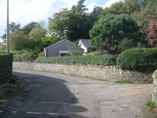
Mugdock
Mugdock is a hamlet in Stirlingshire, Scotland. It lies to the south of the village of Strathblane, and was in the civil parish. In the past the hamlet...
Blanefield railway station
Blanefield railway station served the village of Blanefield, Stirling, Scotland from 1867 to 1959 on the Blane Valley Railway. == History == The station...

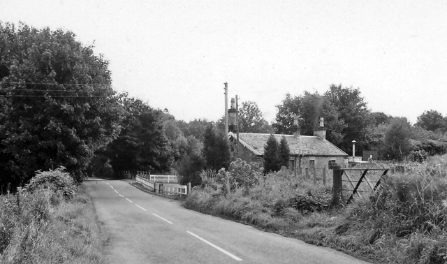
Strathblane railway station
Strathblane railway station served the village of Strathblane, Stirling, Scotland from 1867 to 1951 on the Blane Valley Railway. == History == The station...
Blanefield
Blanefield is a settlement in Scotland contiguous with Strathblane's northwestern fringe. To the west is the volcanic plug Dumgoyne, Glengoyne Distillery...
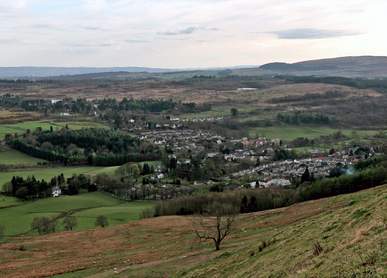
Strathblane
Strathblane (Scottish Gaelic: Strath Bhlàthain, pronounced [s̪t̪ɾahˈvl̪ˠaː.ɪɲ]) is a village and parish in the registration county of Stirlingshire, situated...
Loch Ardinning
Loch Ardinning (Scottish Gaelic: Loch Àird Dùnain) is a body of freshwater in the district of Stirling in Scotland, lying to the south of the village of...
Nearby Amenities
Located within 500m of 55.976231,-4.3205101Have you been to Dumbrock Muir?
Leave your review of Dumbrock Muir below (or comments, questions and feedback).