Auchencloigh Belt
Downs, Moorland in Ayrshire
Scotland
Auchencloigh Belt

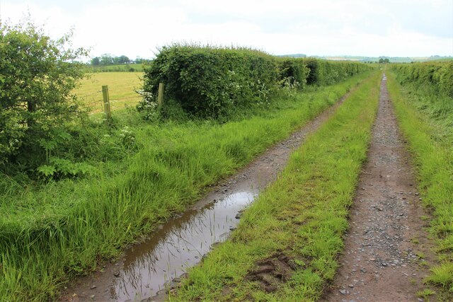
Auchencloigh Belt is a picturesque area located in Ayrshire, Scotland. This beautiful landscape encompasses both downs and moorland, providing a diverse and stunning natural environment.
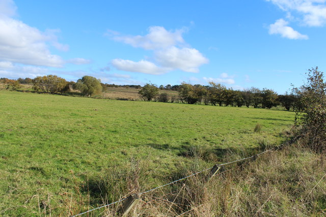
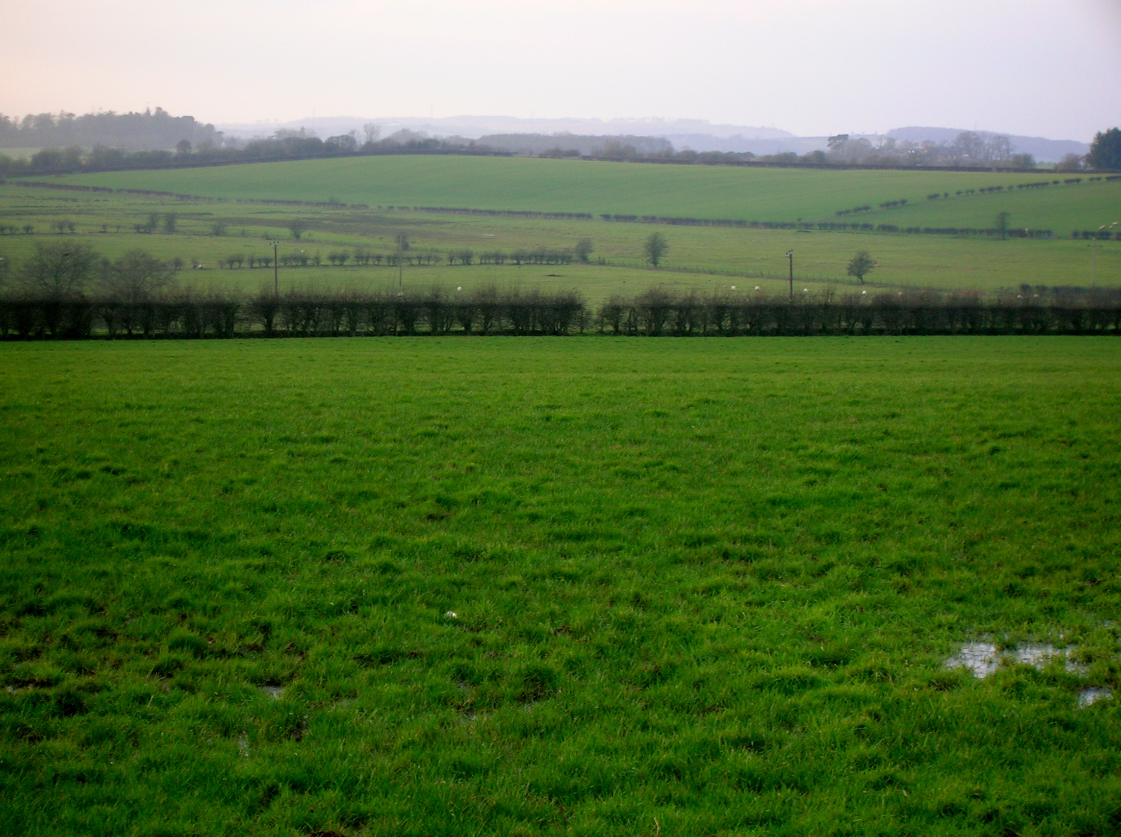
The downs in Auchencloigh Belt are characterized by rolling hills and expansive grasslands. The area boasts breathtaking panoramic views, with the hills offering a perfect vantage point to admire the surrounding countryside. The downs are home to a variety of plant species, including heather and wildflowers, creating a vibrant and colorful setting.
In contrast, the moorland in Auchencloigh Belt is characterized by its vast open spaces and rugged terrain. The moors are covered in heather and peat bogs, providing a unique habitat for a range of wildlife species. Visitors to the area may spot birds such as golden plovers and curlews, as well as other small mammals like rabbits and hares.
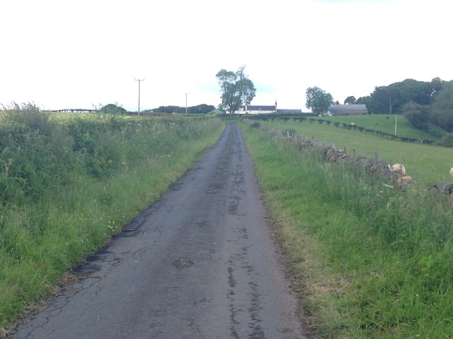
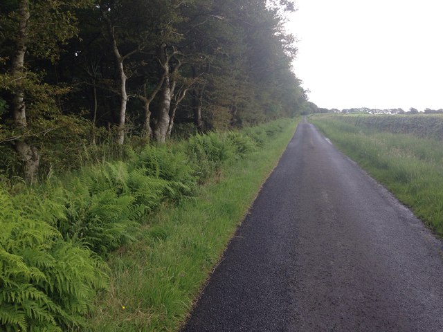
Auchencloigh Belt is a popular destination for outdoor enthusiasts, offering opportunities for walking, hiking, and birdwatching. The tranquil atmosphere and stunning natural surroundings make it an ideal spot for nature lovers and those seeking a peaceful retreat.
The area is also steeped in history, with ancient burial sites and standing stones scattered throughout the landscape. These archaeological sites provide a glimpse into the rich cultural heritage of the region.
Overall, Auchencloigh Belt in Ayrshire is a captivating area that showcases the beauty of Scotland's downs and moorland. Its diverse ecosystem, breathtaking views, and historical significance make it a must-visit destination for nature enthusiasts and history buffs alike.
If you have any feedback on the listing, please let us know in the comments section below.
Auchencloigh Belt Images
Images are sourced within 2km of 55.558179/-4.3199154 or Grid Reference NS5331. Thanks to Geograph Open Source API. All images are credited.


Auchencloigh Belt is located at Grid Ref: NS5331 (Lat: 55.558179, Lng: -4.3199154)
Unitary Authority: East Ayrshire
Police Authority: Ayrshire
What 3 Words
///nuance.cabbages.message. Near Newmilns, East Ayrshire
Nearby Locations
Related Wikis
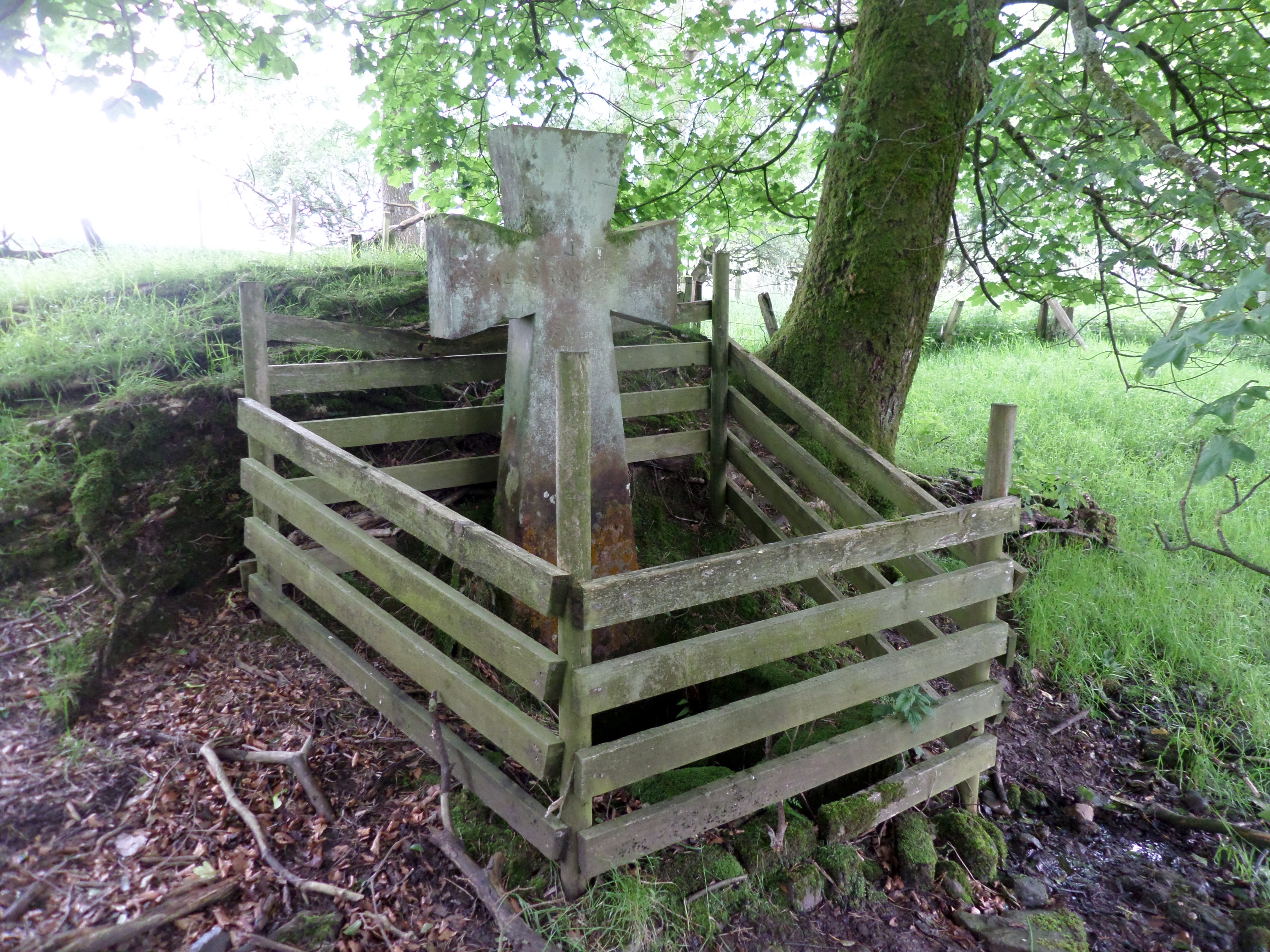
Lady's Well, Auchmannoch
The Lady's Well is a natural spring surmounted by a large cross that stands beside the Stra Burn Ford (NS254630) near Auchmannoch House in the Parish of...
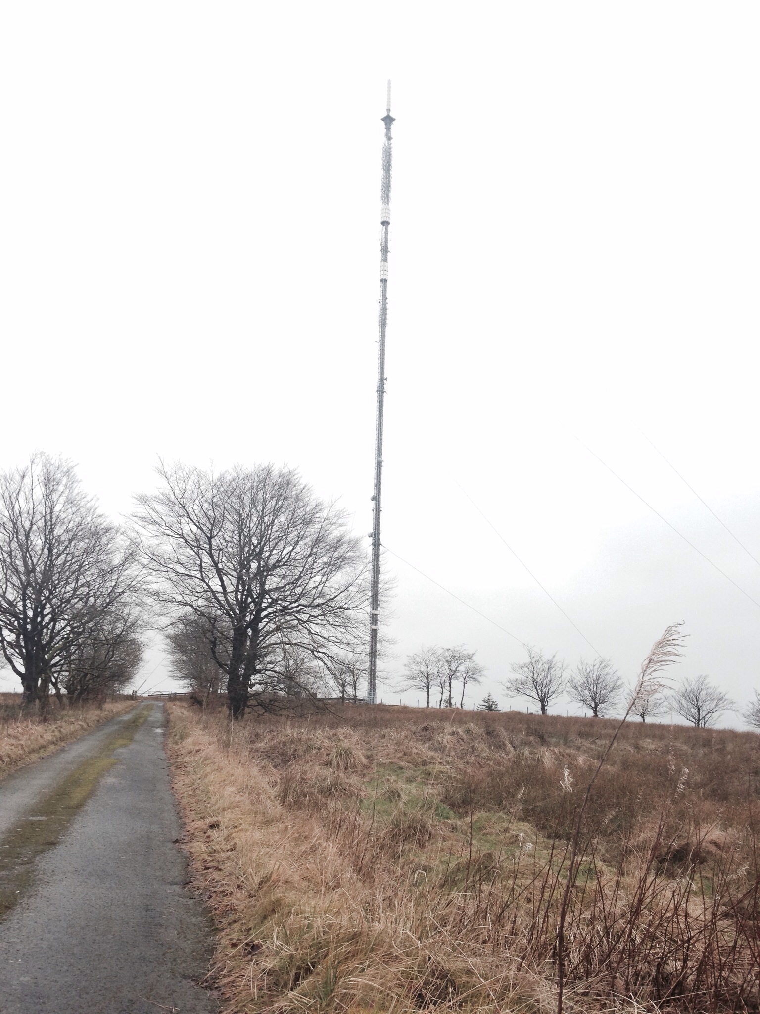
Darvel transmitting station
Darvel transmitting station is a broadcasting and telecommunications facility located near Darvel, East Ayrshire, Scotland (grid reference NS5567234132...
Bruntwood Loch
Bruntwood Loch (NS 50265 32454) was a freshwater loch, now drained, lying in a glacial kettle hole in Galston, East Ayrshire, Scotland. == The loch... ==

Auchmillan
Auchmillan is a village in East Ayrshire, Scotland.
Nearby Amenities
Located within 500m of 55.558179,-4.3199154Have you been to Auchencloigh Belt?
Leave your review of Auchencloigh Belt below (or comments, questions and feedback).