Breadalbane
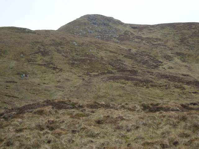
Downs, Moorland in Perthshire
Scotland
Breadalbane

Breadalbane is a picturesque region located in Perthshire, Scotland, known for its stunning landscapes of downs and moorland. The area is characterized by rolling hills, vast open spaces, and a rugged beauty that attracts outdoor enthusiasts and nature lovers from near and far.
The downs in Breadalbane offer sweeping views of the surrounding countryside, with lush green fields and scattered trees creating a peaceful and tranquil atmosphere. The moorland, on the other hand, is a wild and untamed landscape, dotted with heather, bracken, and rocky outcrops. This rugged terrain provides a habitat for a variety of wildlife, including red deer, birds of prey, and other native species.
Visitors to Breadalbane can enjoy a range of outdoor activities, such as hiking, cycling, and birdwatching, amidst the stunning natural scenery. The region is also home to historic sites, charming villages, and traditional Scottish hospitality, making it a popular destination for those looking to experience the beauty and culture of rural Scotland.
If you have any feedback on the listing, please let us know in the comments section below.
Breadalbane Images
Images are sourced within 2km of 56.473279/-4.3927373 or Grid Reference NN5233. Thanks to Geograph Open Source API. All images are credited.


Breadalbane is located at Grid Ref: NN5233 (Lat: 56.473279, Lng: -4.3927373)
Unitary Authority: Stirling
Police Authority: Forth Valley
What 3 Words
///blackmail.swim.masts. Near Pubil, Perth & Kinross
Nearby Locations
Related Wikis
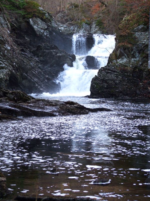
Falls of Lochay
Falls of Lochay is a waterfall in Scotland. == See also == Waterfalls of Scotland == References ==
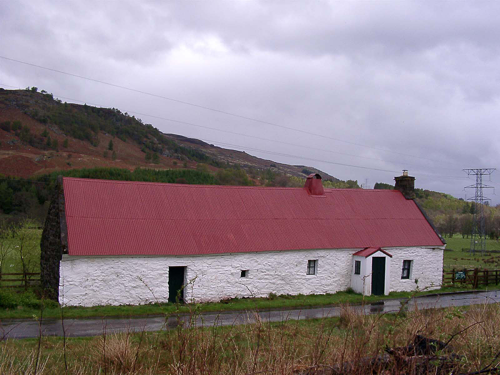
Moirlanich Longhouse
Moirlanich Longhouse is a rare example of a cruck frame Scottish cottage. It is located at grid reference NN562341 in Glen Lochay near Killin in the Stirling...

Falls of Dochart
The Falls of Dochart (Scottish Gaelic:Eas Dochart) are a cascade of waterfalls situated on the River Dochart at Killin in Perthshire, Scotland, near the...

Killin
Killin (; Scottish Gaelic: Cill Fhinn) is a village in Perthshire in the central Highlands of Scotland. Situated at the western head of Loch Tay, it is...
Have you been to Breadalbane?
Leave your review of Breadalbane below (or comments, questions and feedback).